Arn Gill Head
Hill, Mountain in Yorkshire Richmondshire
England
Arn Gill Head
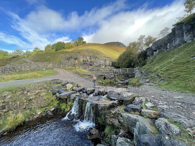
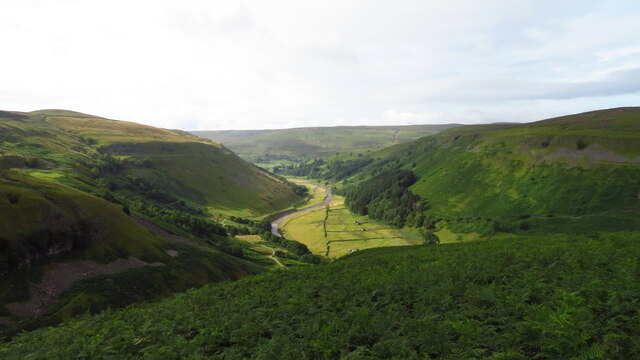
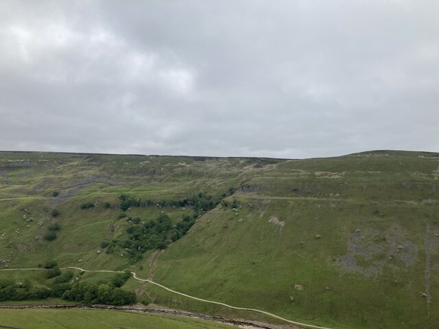
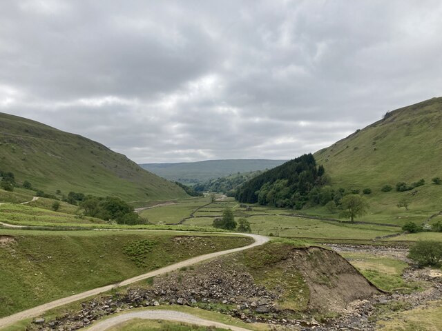
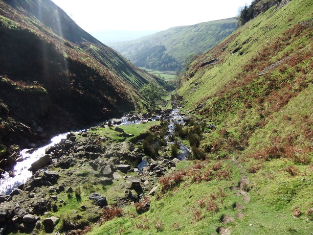
Arn Gill Head is a prominent hill located in the region of Yorkshire, England. Situated within the expansive Yorkshire Dales National Park, it forms part of the Pennine Range, which stretches across northern England. Rising to an elevation of approximately 2,077 feet (633 meters), Arn Gill Head offers breathtaking panoramic views of the surrounding countryside.
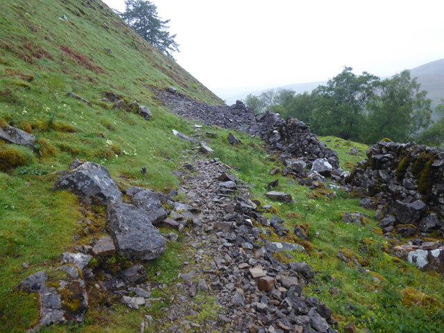
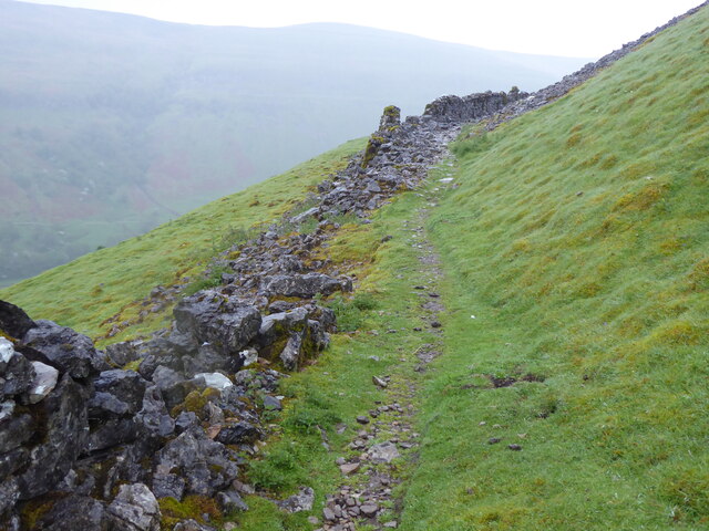
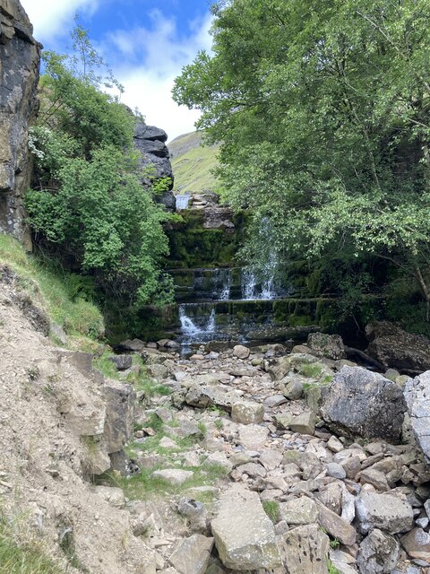
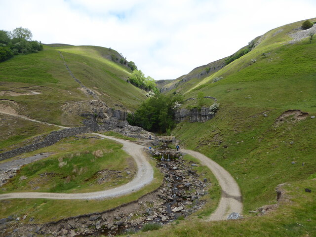
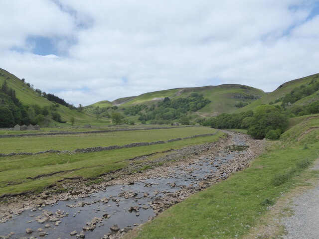
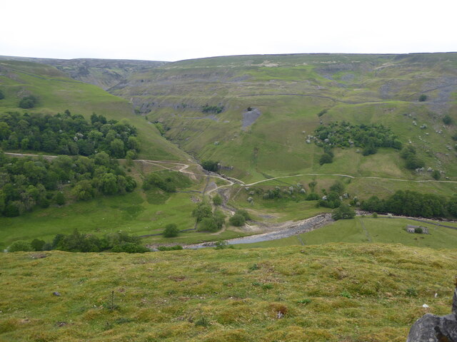
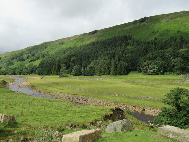
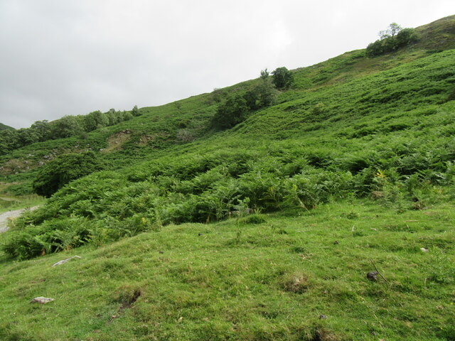
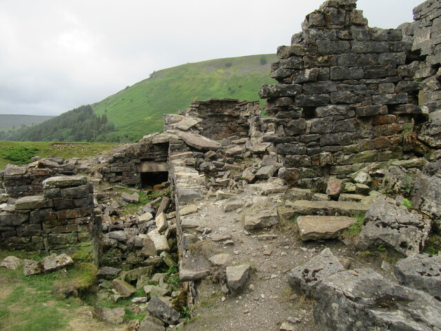
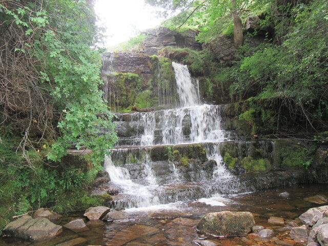
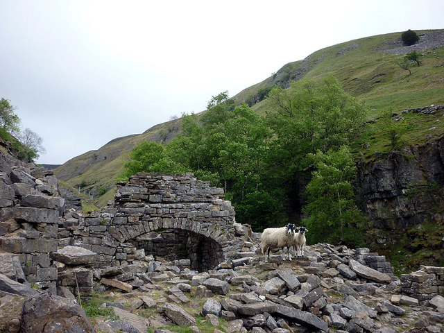
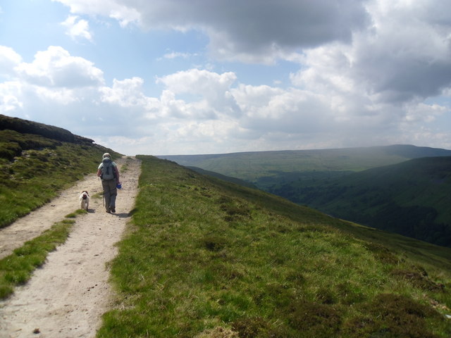
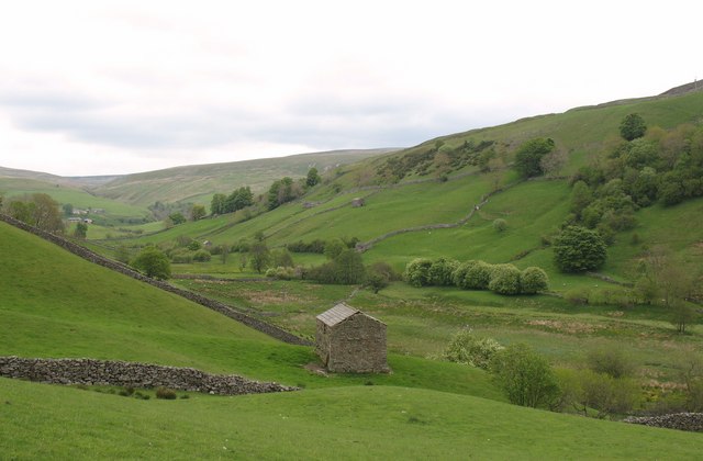
The hill is renowned for its rugged and picturesque landscape. Lush green meadows, scattered with vibrant wildflowers during the warmer months, cover the lower slopes. As one ascends, the terrain becomes more challenging, with rocky outcrops and steep inclines. These features make Arn Gill Head a popular destination for hikers and outdoor enthusiasts seeking an adventurous experience.
The hill is also home to a variety of flora and fauna. Heather and grasses dominate the vegetation, providing a habitat for numerous bird species, including the iconic red grouse. Visitors may also spot mountain hares and brown hares, which are native to the area.
Arn Gill Head is accessible via several footpaths that wind their way through the Yorkshire Dales. These routes offer a range of difficulty levels, catering to both experienced hikers and casual walkers. The hill's location within the national park ensures that it remains relatively unspoiled, allowing visitors to immerse themselves in the tranquility of nature.
Overall, Arn Gill Head offers a rewarding and invigorating experience for those seeking to explore the beautiful Yorkshire countryside. Its striking landscape and diverse wildlife make it a must-visit destination for outdoor enthusiasts and nature lovers alike.
If you have any feedback on the listing, please let us know in the comments section below.
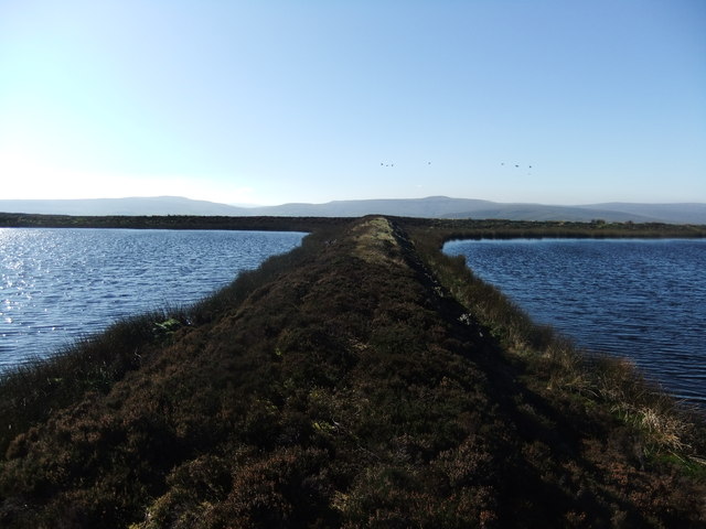
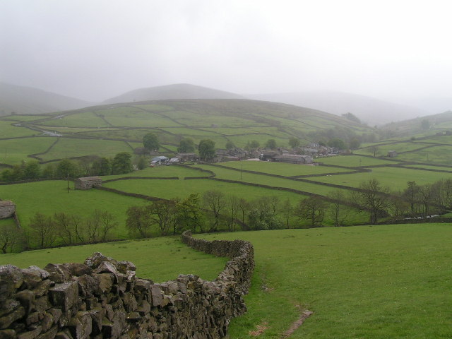
Arn Gill Head Images
Images are sourced within 2km of 54.385608/-2.1305399 or Grid Reference SD9198. Thanks to Geograph Open Source API. All images are credited.
Arn Gill Head is located at Grid Ref: SD9198 (Lat: 54.385608, Lng: -2.1305399)
Division: North Riding
Administrative County: North Yorkshire
District: Richmondshire
Police Authority: North Yorkshire
What 3 Words
///increment.husbands.plotter. Near Bowes, Co. Durham
Nearby Locations
Related Wikis

Arn Gill (North Yorkshire)
Arn Gill is a ravine or gully containing a beck of the same name, near the village of Muker in Swaledale, North Yorkshire, England. The ravine and beck...

Muker
Muker is a village and civil parish at the western end of Swaledale in North Yorkshire, England, within the Yorkshire Dales. The parish includes the hamlets...

Kisdon
Kisdon, also called Kisdon Hill, is a fell situated in upper Swaledale in the Yorkshire Dales National Park in North Yorkshire, England. == Geography... ==

Ivelet
Ivelet is a hamlet in the Yorkshire Dales, North Yorkshire, England about a mile west of Gunnerside in Swaledale. Ivelet Bridge crosses the River Swale...
Thwaite, North Yorkshire
Thwaite is a small village in the Yorkshire Dales, North Yorkshire, England. It is in Swaledale and is part the district of Richmondshire and the civil...

Satron
Satron is a hamlet in Swaledale, North Yorkshire, England. It lies 0.6 miles (1 km) south west of Gunnerside on the opposite bank of the River Swale. It...

Kisdon Force
Kisdon Force is a series of waterfalls on the River Swale in Swaledale, England. The falls are situated within the Yorkshire Dales National Park in the...
Angram Bottoms
Angram Bottoms (grid reference SD891999) is a 9.8 hectares (24 acres) biological Site of Special Scientific Interest (SSSI) near to the village of Angram...
Have you been to Arn Gill Head?
Leave your review of Arn Gill Head below (or comments, questions and feedback).