Beale Hill
Hill, Mountain in Yorkshire Richmondshire
England
Beale Hill
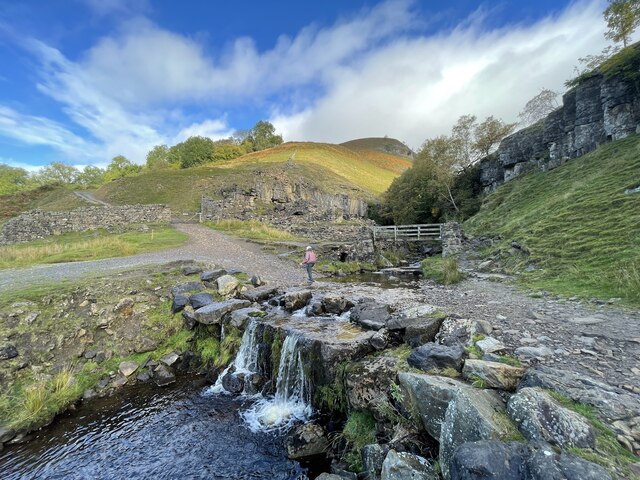
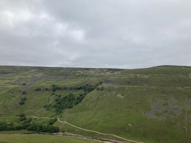
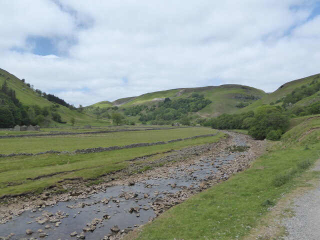
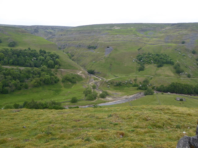
Beale Hill is a prominent hill located in the county of Yorkshire, England. Situated in the Yorkshire Dales National Park, this natural landmark offers breathtaking views and is a popular destination for outdoor enthusiasts and nature lovers.
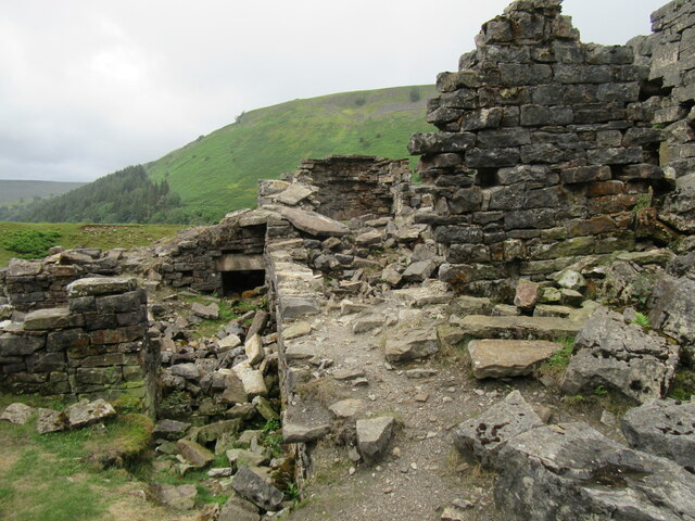
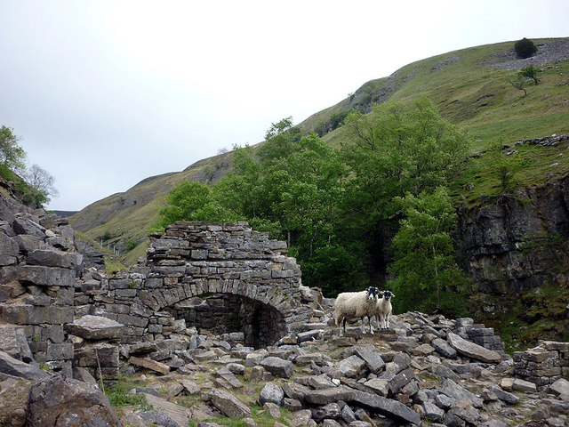
Rising to an elevation of approximately 450 meters (1480 feet), Beale Hill is characterized by its distinctive shape and rocky terrain. The hill is part of a range of hills known as the Pennines, which stretches across northern England. It is primarily composed of Millstone Grit, a coarse sandstone that gives the hill its rugged appearance.
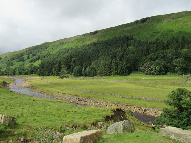
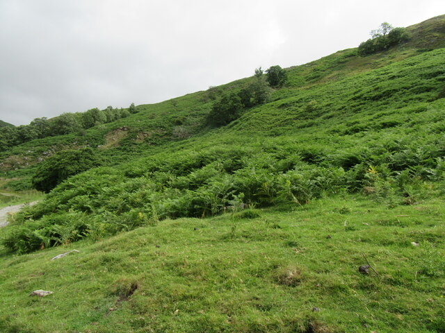
Beale Hill is covered in lush vegetation, with patches of heather and grasses dotting its slopes. The hill provides a habitat for various wildlife species, including birds, mammals, and insects. Visitors can often spot birds of prey, such as kestrels and buzzards, soaring above the hill, while rabbits and other small mammals scurry through the undergrowth.
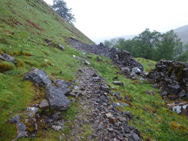
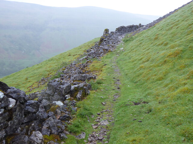
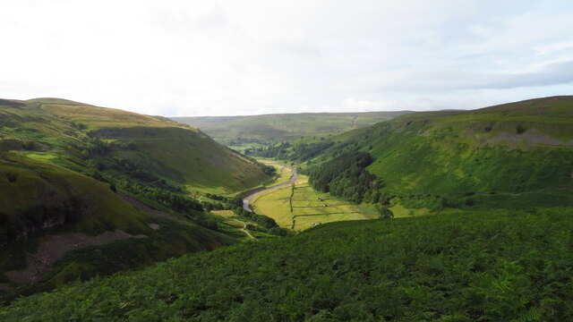
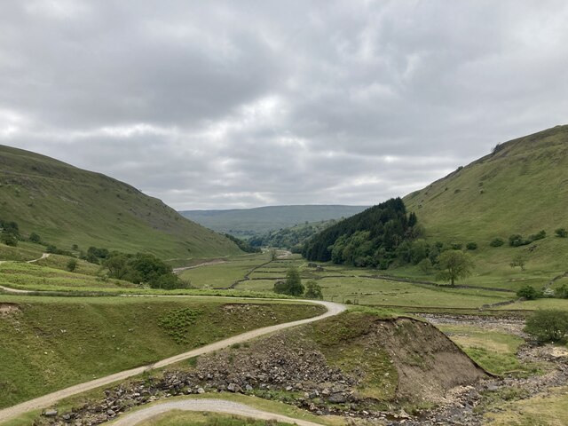
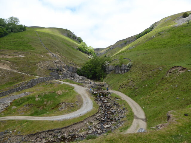
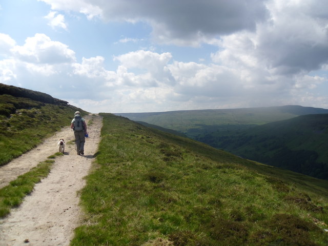
The hill offers several walking trails and footpaths, allowing visitors to explore its diverse landscape. Hikers and climbers are drawn to Beale Hill for its challenging slopes and rock formations, which provide opportunities for outdoor activities and adventure. The ascent to the summit rewards visitors with panoramic views of the surrounding countryside, including nearby valleys and rolling hills.
Beale Hill is a picturesque and tranquil destination, offering a serene escape from the bustling city life. Whether it's enjoying a leisurely hike, capturing stunning photographs, or simply appreciating the beauty of nature, Beale Hill is a must-visit location for anyone exploring Yorkshire's natural wonders.
If you have any feedback on the listing, please let us know in the comments section below.
Beale Hill Images
Images are sourced within 2km of 54.385635/-2.1305246 or Grid Reference SD9198. Thanks to Geograph Open Source API. All images are credited.
Beale Hill is located at Grid Ref: SD9198 (Lat: 54.385635, Lng: -2.1305246)
Division: North Riding
Administrative County: North Yorkshire
District: Richmondshire
Police Authority: North Yorkshire
What 3 Words
///solving.depended.footballers. Near Bowes, Co. Durham
Nearby Locations
Related Wikis

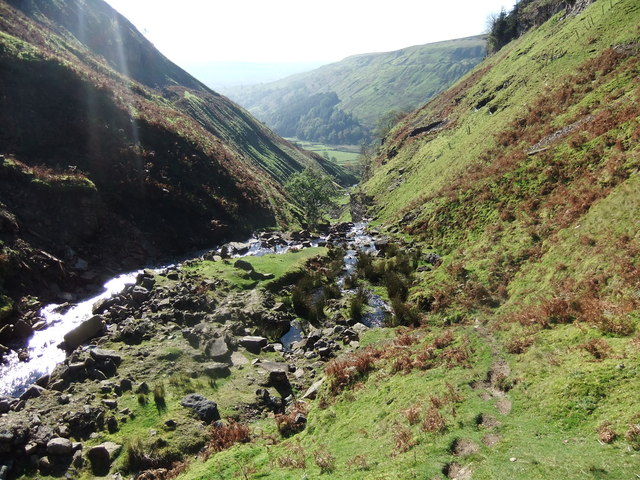
Arn Gill (North Yorkshire)
Arn Gill is a ravine or gully containing a beck of the same name, near the village of Muker in Swaledale, North Yorkshire, England. The ravine and beck...

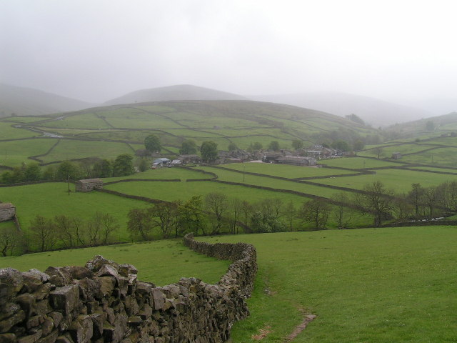
Muker
Muker is a village and civil parish at the western end of Swaledale in North Yorkshire, England, within the Yorkshire Dales. The parish includes the hamlets...

Kisdon
Kisdon, also called Kisdon Hill, is a fell situated in upper Swaledale in the Yorkshire Dales National Park in North Yorkshire, England. == Geography... ==

Ivelet
Ivelet is a hamlet in the Yorkshire Dales, North Yorkshire, England about a mile west of Gunnerside in Swaledale. Ivelet Bridge crosses the River Swale...
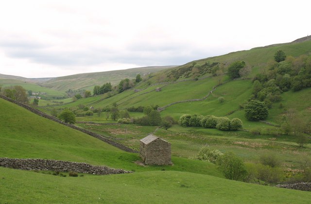
Thwaite, North Yorkshire
Thwaite is a small village in the Yorkshire Dales, North Yorkshire, England. It is in Swaledale and is part the district of Richmondshire and the civil...

Satron
Satron is a hamlet in Swaledale, North Yorkshire, England. It lies 0.6 miles (1 km) south west of Gunnerside on the opposite bank of the River Swale. It...

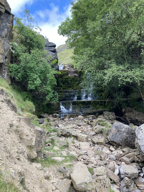
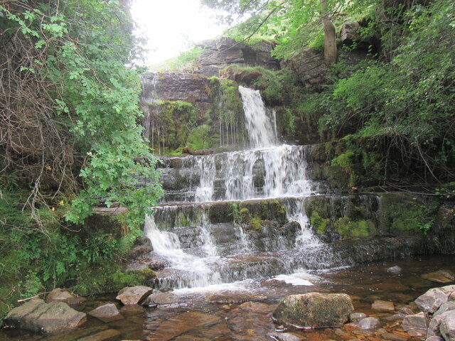
Kisdon Force
Kisdon Force is a series of waterfalls on the River Swale in Swaledale, England. The falls are situated within the Yorkshire Dales National Park in the...
Angram Bottoms
Angram Bottoms (grid reference SD891999) is a 9.8 hectares (24 acres) biological Site of Special Scientific Interest (SSSI) near to the village of Angram...
Have you been to Beale Hill?
Leave your review of Beale Hill below (or comments, questions and feedback).