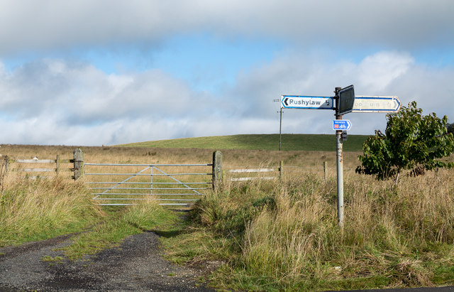
Ripley Hill
Hill, Mountain in Northumberland
England
Ripley Hill

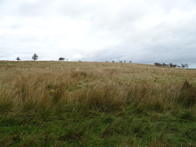
Ripley Hill is a prominent hill located in the county of Northumberland, England. It is situated near the village of Bardon Mill, approximately 3 miles south of Hexham. With an elevation of 301 meters (988 feet), Ripley Hill offers breathtaking views of the surrounding landscape.
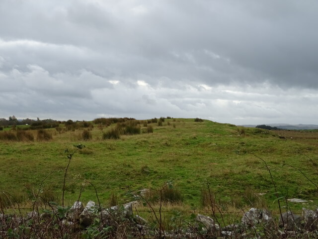
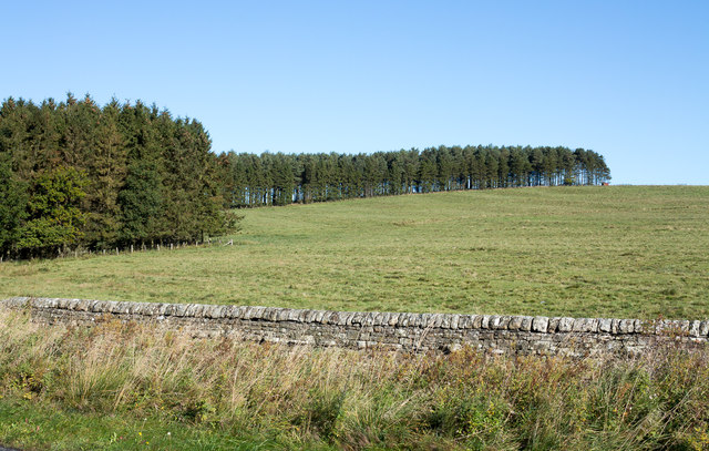
The hill is primarily composed of sedimentary rocks, including sandstone and limestone, which have been shaped over millennia by natural erosion processes. The result is an undulating terrain with gentle slopes and occasional steep cliffs, contributing to the hill's unique character.
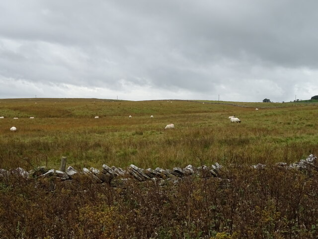
Ripley Hill is known for its rich biodiversity and is home to a variety of plant and animal species. The hillside is covered in lush grasslands, interspersed with patches of heather and bracken. These habitats provide a haven for numerous bird species, including skylarks, meadow pipits, and red grouse.
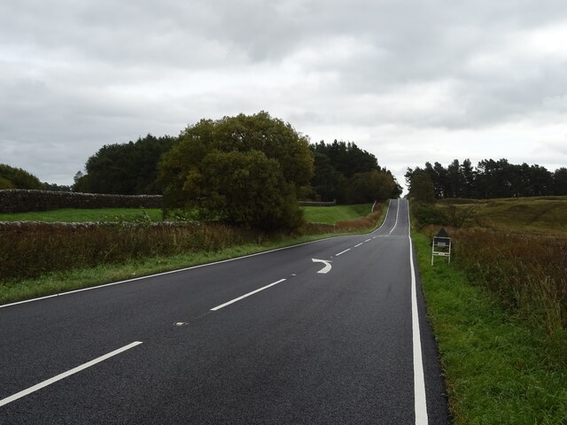
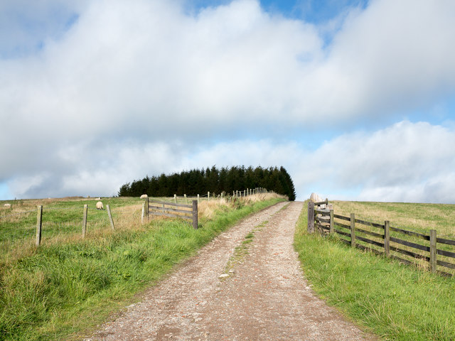
The hill is a popular destination for outdoor enthusiasts, offering a range of activities such as hiking, birdwatching, and photography. A network of well-maintained footpaths and trails allows visitors to explore the area and enjoy its natural beauty.
At the summit of Ripley Hill, there is a trig point, which serves as a landmark and offers panoramic views of the Northumberland countryside. On clear days, it is possible to see as far as the Cheviot Hills to the north and the Pennines to the south.
Overall, Ripley Hill is a captivating natural feature in Northumberland, attracting visitors with its stunning vistas, diverse wildlife, and opportunities for outdoor recreation.
If you have any feedback on the listing, please let us know in the comments section below.
Ripley Hill Images
Images are sourced within 2km of 55.087743/-2.1329782 or Grid Reference NY9177. Thanks to Geograph Open Source API. All images are credited.


Ripley Hill is located at Grid Ref: NY9177 (Lat: 55.087743, Lng: -2.1329782)
Unitary Authority: Northumberland
Police Authority: Northumbria
What 3 Words
///stalemate.poems.aspect. Near Birtley, Northumberland
Nearby Locations
Related Wikis

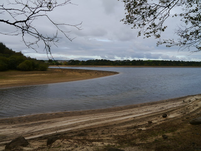
Colt Crag Reservoir
Colt Crag Reservoir is a relatively shallow reservoir in Northumberland, England adjacent to the A68 road, and 9 miles (14 km) north of Corbridge. The...

Little Swinburne Reservoir
Little Swinburne Reservoir is a small reservoir in Northumberland, England less than 1 mile (1.6 km) northeast of the A68 road, and about 9 miles (14 km...
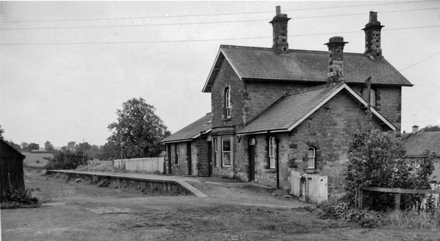
Barrasford railway station
Barrasford railway station served the village of Barrasford, Northumberland, England from 1859 to 1958 on the Border Counties Railway. == History == The...
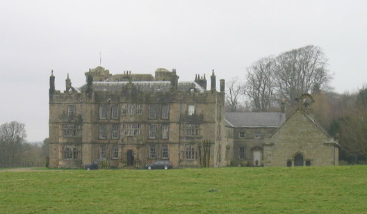
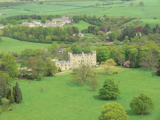
Chipchase Castle
Chipchase Castle is a 17th-century Jacobean mansion incorporating a substantial 14th-century pele tower, which stands north of Hadrian's Wall, near Wark...

Barrasford
Barrasford is a village in Northumberland, England. It is situated to the north of Hexham, on the North Tyne. Barrasford is an ancient village that lies...

Birtley, Northumberland
Birtley is a village in Northumberland, England southeast of Bellingham. It is about 10 miles (16 km) north of Hexham. == References == == External... ==
Haughton Castle
Haughton Castle is a privately owned country mansion and Grade I listed building, situated to the north of the village of Humshaugh on the west bank of...
Colwell, Northumberland
Colwell is a hamlet in Northumberland, England. It is about 12 miles (19 km) to the north of Hexham. == Governance == Colwell is in the parliamentary constituency...
Nearby Amenities
Located within 500m of 55.087743,-2.1329782Have you been to Ripley Hill?
Leave your review of Ripley Hill below (or comments, questions and feedback).