Ripleyhill Plantation

Wood, Forest in Northumberland

England

Ripleyhill Plantation

Felled Trees, Cola Burn Plantation
Felled Trees, Cola Burn Plantation Credit: Les Hull

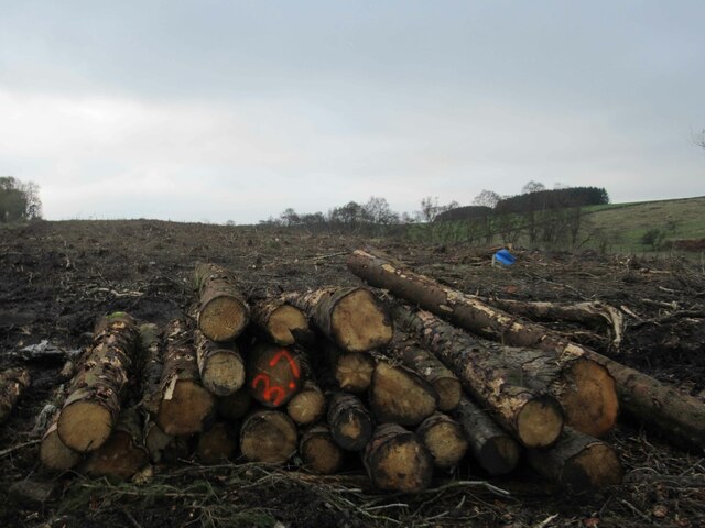
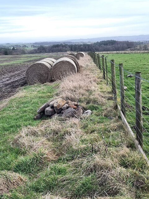
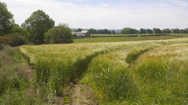
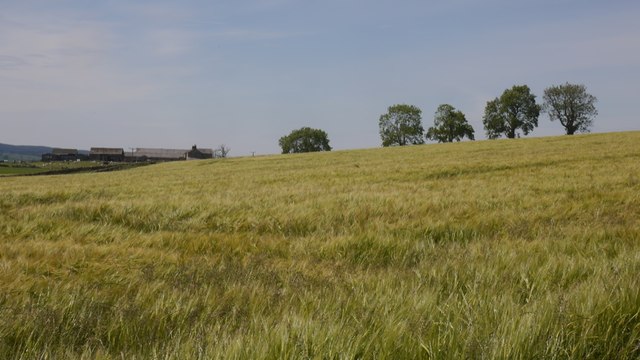
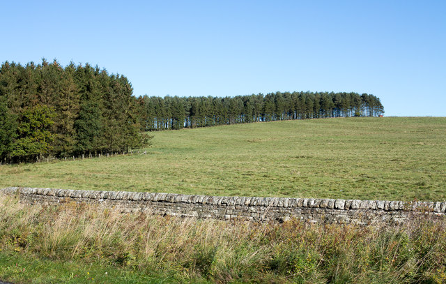
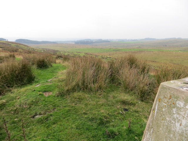
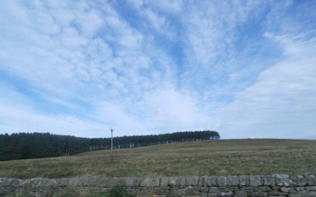
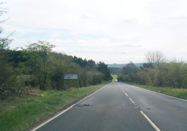
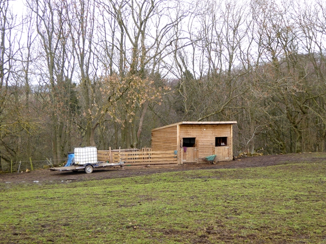
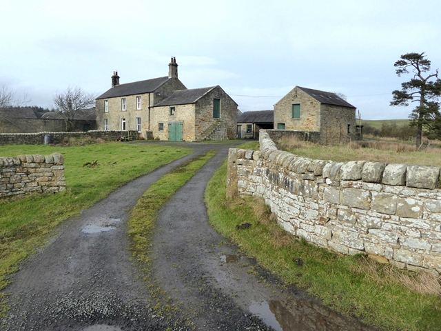
Ripleyhill Plantation is a picturesque wood located in Northumberland, England. It covers an area of approximately 300 acres and is renowned for its diverse flora and fauna. The plantation is nestled within the stunning landscape of the Northumberland National Park and offers visitors a serene and tranquil setting to explore.

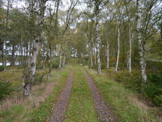
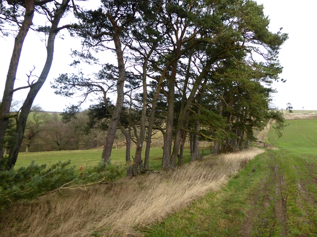
The wood comprises a mixture of deciduous and coniferous trees, creating a rich tapestry of colors throughout the seasons. Ancient oak and beech trees dominate the canopy, providing a haven for a variety of bird species, including woodpeckers and owls. The forest floor is carpeted with wildflowers, ferns, and mosses, adding to the enchanting atmosphere.

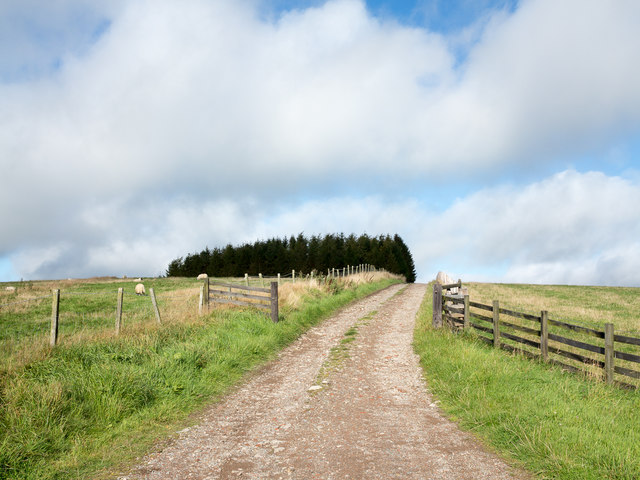
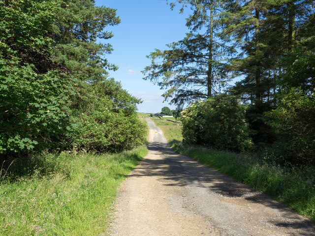
Ripleyhill Plantation is crisscrossed with a network of well-maintained trails, allowing visitors to immerse themselves in the beauty of nature. These trails cater to all levels of fitness and offer opportunities for leisurely strolls or more challenging hikes. The enchanting woodland paths lead to hidden gems such as a secluded pond and a bubbling stream, enhancing the overall experience.

The plantation is a popular destination for nature enthusiasts, photographers, and families seeking outdoor adventures. It offers a chance to disconnect from the fast-paced modern world and reconnect with the natural environment. Visitors can enjoy a picnic amidst the towering trees, listen to the soothing sounds of birdsong, or simply unwind in the peaceful surroundings.

Ripleyhill Plantation is a true gem in Northumberland's landscape, providing a sanctuary for both wildlife and humans alike. With its breathtaking scenery and abundant wildlife, it is a must-visit destination for anyone looking to escape into nature's embrace.

If you have any feedback on the listing, please let us know in the comments section below.

Ripleyhill Plantation Images

Images are sourced within 2km of 55.088442/-2.1345472 or Grid Reference NY9177. Thanks to Geograph Open Source API. All images are credited.

Felled Trees, Cola Burn Plantation
Bales and fence Near Nightfold Ridge Farm.
Bales and fence
Near Nightfold Ridge Farm.
Nightfold Ridge Barley near Birtley. I had not encountered much in the way of arable land earlier in the day on higher ground to the northeast but now, nearing the North Tyne the land is getting kinder.  I had also left the small coalfield around Cowden.
Nightfold Ridge
Barley near Birtley. I had not encountered much in the way of arable land earlier in the day on higher ground to the northeast but now, nearing the North Tyne the land is getting kinder. I had also left the small coalfield around Cowden.
Barley near Nightfold Ridge Looking towards Rouchester.
Barley near Nightfold Ridge
Looking towards Rouchester.
Plantation adjacent to A68 The L-shaped plantation of conifers lies north and east of the A68 and south of Colt Crag Reservoir; it's seen here from the road close to the access road for Barrasford Quarry.
Plantation adjacent to A68
The L-shaped plantation of conifers lies north and east of the A68 and south of Colt Crag Reservoir; it's seen here from the road close to the access road for Barrasford Quarry.
Farm road rising towards plantation The road rises from a minor road, itself west of the A68 near to the buildings at Cowden.
Farm road rising towards plantation
The road rises from a minor road, itself west of the A68 near to the buildings at Cowden.
Gate into field at road junction The location is a road junction west of the A68 near to Middle Cowden
Gate into field at road junction
The location is a road junction west of the A68 near to Middle Cowden
Afternoon At Colt Crag Reservoir Colt Crag Reservoir on a cold October afternoon.
Afternoon At Colt Crag Reservoir
Colt Crag Reservoir on a cold October afternoon.
Birch Woodland At Colt Crag Reservoir Autumn has arrived: Birch trees shedding their leaves and plentiful fungi on fallen wood.
Birch Woodland At Colt Crag Reservoir
Autumn has arrived: Birch trees shedding their leaves and plentiful fungi on fallen wood.
A view of Long Crag Looking south-westward from the Triangulation Pillar.
A view of Long Crag
Looking south-westward from the Triangulation Pillar.
South Folly Plantation
The road to Colt Crag Colt Crag being the farm at the end of the road - barns are in view. The farm is east of the A68 and on the northern side of Colt Crag Reservoir.
The road to Colt Crag
Colt Crag being the farm at the end of the road - barns are in view. The farm is east of the A68 and on the northern side of Colt Crag Reservoir.
A68 southbound near Folly Moss
Stable above Gunnerton Burn
Field with Shetland ponies Near Gunnerton Fell Farm.
Field with Shetland ponies
Near Gunnerton Fell Farm.
Field boundary near Gunnerton Fell Farm Scots Pines are characteristic of this locality.
Field boundary near Gunnerton Fell Farm
Scots Pines are characteristic of this locality.
Row of Scots Pines near Gunnerton Fell Farm Scots Pines are characteristic of this locality.
Row of Scots Pines near Gunnerton Fell Farm
Scots Pines are characteristic of this locality.
Gunnerton Fell Farm
Gunnerton Fell Farm
Show me another place!

Ripleyhill Plantation is located at Grid Ref: NY9177 (Lat: 55.088442, Lng: -2.1345472)

Unitary Authority: Northumberland

Police Authority: Northumbria

What 3 Words

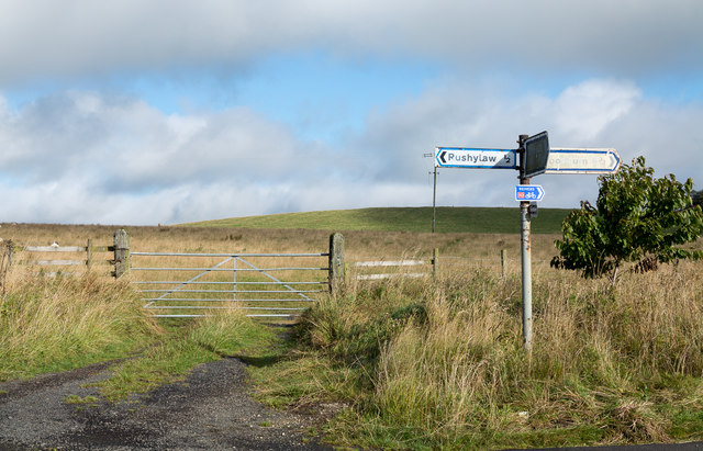
///gladiators.framework.issued. Near Birtley, Northumberland

Related Wikis

Colt Crag Reservoir

Colt Crag Reservoir is a relatively shallow reservoir in Northumberland, England adjacent to the A68 road, and 9 miles (14 km) north of Corbridge. The...

Carrycoats

Carrycoats is a former civil parish, now in the parish of Birtley, in the county of Northumberland, England. In 1951 the parish had a population of 34...

Little Swinburne Reservoir

Little Swinburne Reservoir is a small reservoir in Northumberland, England less than 1 mile (1.6 km) northeast of the A68 road, and about 9 miles (14 km...

Barrasford railway station

Barrasford railway station served the village of Barrasford, Northumberland, England from 1859 to 1958 on the Border Counties Railway. == History == The...

Nearby Amenities

Located within 500m of 55.088442,-2.1345472
Ripley Hill
Place: locality
Lat/Long: 55.0870374/-2.1342232
Power: pole
Lat/Long: 55.0852375/-2.129289
Power: pole
Lat/Long: 55.0874118/-2.1271542
Power: pole
Lat/Long: 55.0881519/-2.1271134
Power: pole
Lat/Long: 55.088893/-2.1270805
Power: pole
Lat/Long: 55.0896904/-2.1270395
The data included in this document is from www.openstreetmap.org. The data is made available under ODbL.

Have you been to Ripleyhill Plantation?

Leave your review of Ripleyhill Plantation below (or comments, questions and feedback).