Pace Hill

Hill, Mountain in Northumberland

England

Pace Hill

Flodden Field At this spot James IV of Scotland was killed.
Flodden Field Credit: Sandy Gerrard

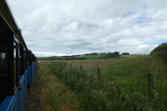
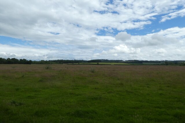
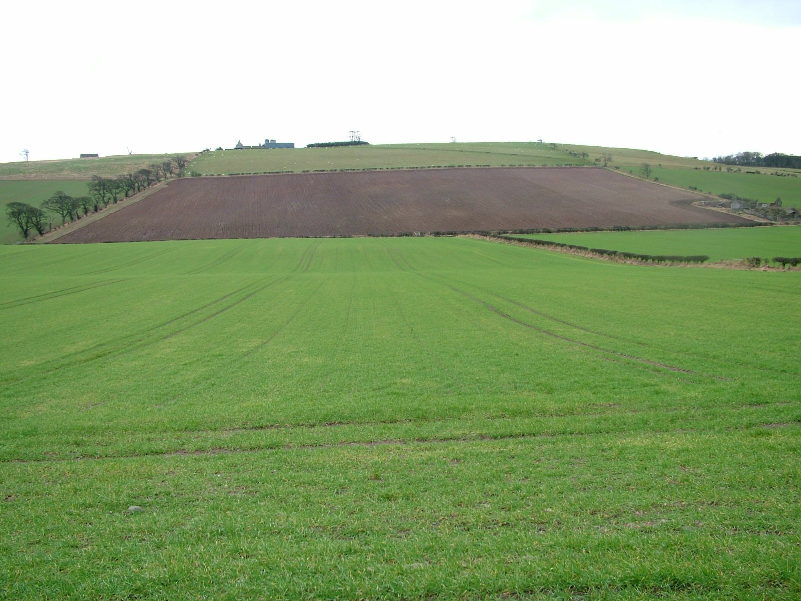
Pace Hill is a prominent hill located in the county of Northumberland, England. It is situated near the village of Belsay, approximately 15 miles northwest of the city of Newcastle upon Tyne. Rising to an elevation of 267 meters (876 feet), Pace Hill offers breathtaking panoramic views of the surrounding countryside.

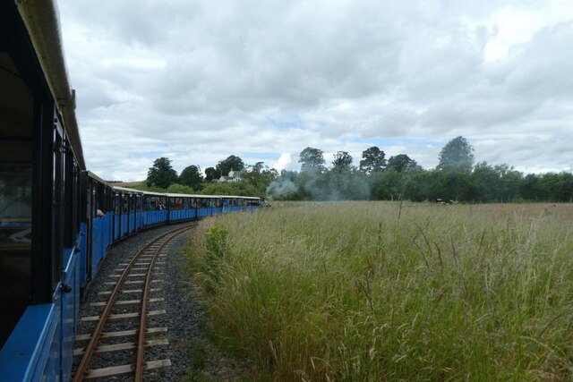
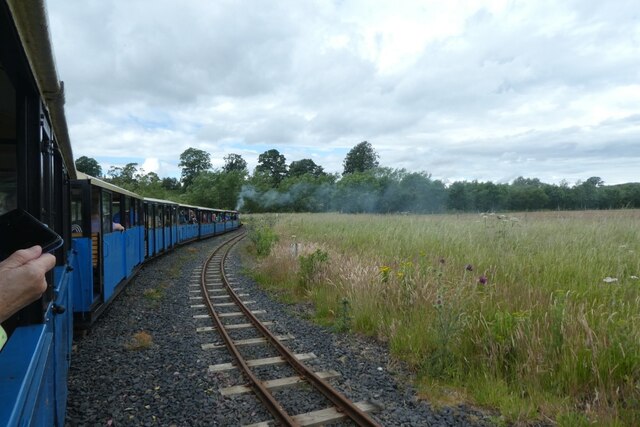
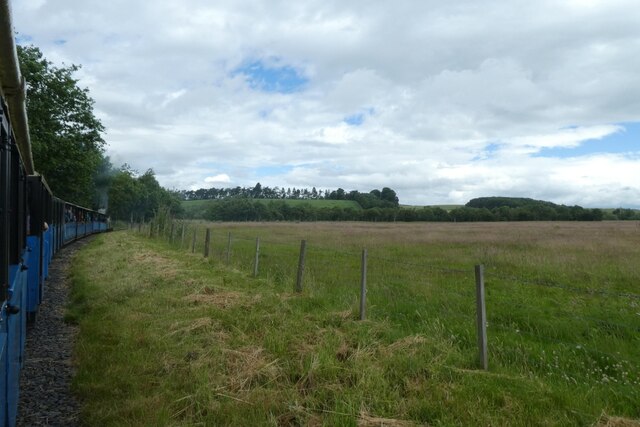
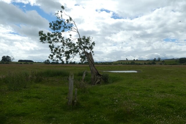
The hill is characterized by its gently sloping sides and is covered in lush green grass, dotted with scattered trees. It is primarily composed of sandstone, which gives it a distinctive reddish hue, especially during sunset. The terrain is relatively easy to navigate, making it a popular destination for hikers and nature enthusiasts.

The summit of Pace Hill provides an ideal vantage point to appreciate the stunning vistas of the Northumberland countryside. On a clear day, it is possible to see as far as the Cheviot Hills to the north, and even the North Sea to the east. The hill is also home to a variety of wildlife, including rabbits, hares, and various bird species.

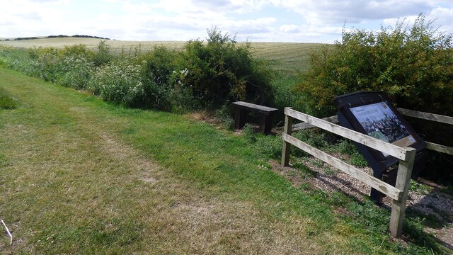
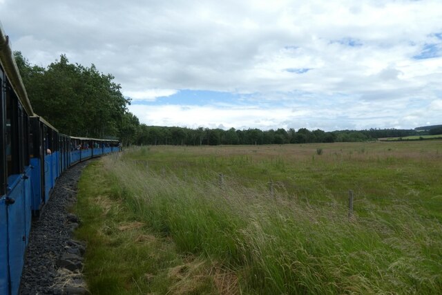
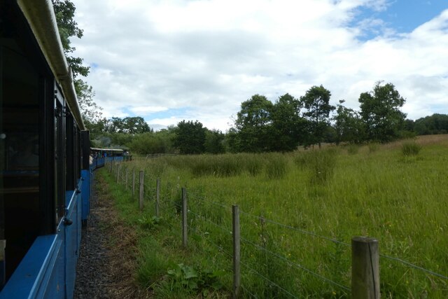
Pace Hill is surrounded by a network of footpaths, allowing visitors to explore the area and enjoy the tranquil surroundings. Additionally, the nearby Belsay Hall and Gardens, a historic English Heritage property, offers an opportunity to combine a visit to the hill with a cultural experience.

Overall, Pace Hill is a picturesque and accessible natural landmark in Northumberland, offering visitors a chance to immerse themselves in the beauty of the region's countryside.

If you have any feedback on the listing, please let us know in the comments section below.
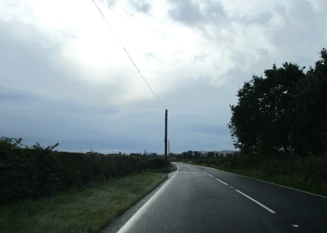
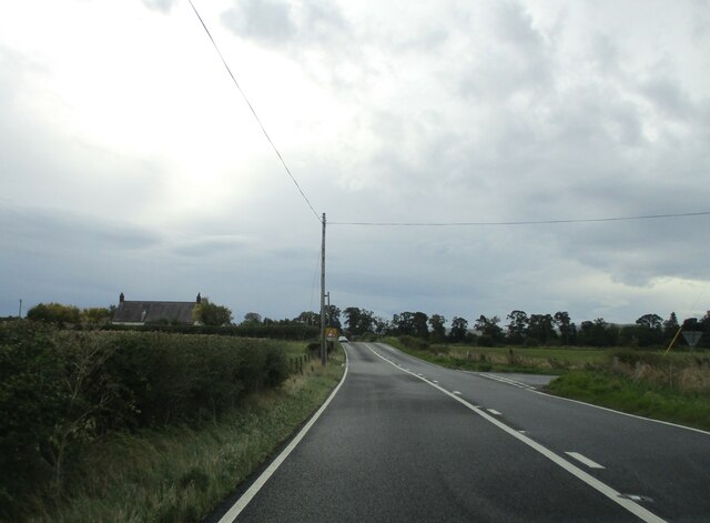
Pace Hill Images

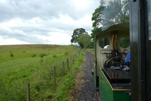
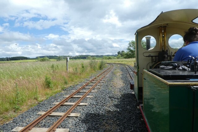
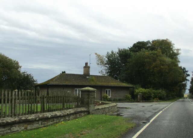
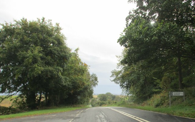
Images are sourced within 2km of 55.629067/-2.1390491 or Grid Reference NT9137. Thanks to Geograph Open Source API. All images are credited.

Flodden Field At this spot James IV of Scotland was killed.
Flodden Field
At this spot James IV of Scotland was killed.
Direction Sign – Signpost at Branxtonmoor Located on the north side of the T junction at Branxtonmoor in Branxton parish. 3 arms and cap finial. See also <a title="https://www.geograph.org.uk/photo/6559125" href="https://www.geograph.org.uk/photo/6559125">Link</a> and <a title="https://www.geograph.org.uk/photo/3647184" href="https://www.geograph.org.uk/photo/3647184">Link</a>.

Milestone Society National ID: NB_NT8935
Direction Sign – Signpost at Branxtonmoor
Located on the north side of the T junction at Branxtonmoor in Branxton parish. 3 arms and cap finial. See also Link and Link. Milestone Society National ID: NB_NT8935
Train following the course of the river A Heatherslaw Light Railway train heads towards Etal with the first service of the day.
Train following the course of the river
A Heatherslaw Light Railway train heads towards Etal with the first service of the day.
Track beside the River Till Looking back along the tracks from a Heatherslaw Light Railway train as it heads towards Etal with the first service of the day.
Track beside the River Till
Looking back along the tracks from a Heatherslaw Light Railway train as it heads towards Etal with the first service of the day.
Train heading west beside the river A Heatherslaw Light Railway train heads towards Etal with the first service of the day.
Train heading west beside the river
A Heatherslaw Light Railway train heads towards Etal with the first service of the day.
Entering the passing loop A Heatherslaw Light Railway train heads towards Etal with the first service of the day.
Entering the passing loop
A Heatherslaw Light Railway train heads towards Etal with the first service of the day.
Train in the passing loop A Heatherslaw Light Railway train heads towards Etal with the first service of the day.
Train in the passing loop
A Heatherslaw Light Railway train heads towards Etal with the first service of the day.
West of the passing loop A Heatherslaw Light Railway train heads towards Etal with the first service of the day.
West of the passing loop
A Heatherslaw Light Railway train heads towards Etal with the first service of the day.
Fields beside the railway Viewed from the first Heatherslaw Light Railway train of the day as it heads towards Etal.
Fields beside the railway
Viewed from the first Heatherslaw Light Railway train of the day as it heads towards Etal.
Train following the course of the river A Heatherslaw Light Railway train heads towards Etal with the first service of the day.
Train following the course of the river
A Heatherslaw Light Railway train heads towards Etal with the first service of the day.
Tree beside the railway Looking across a field from the first Heatherslaw Light Railway train of the day. The rest of this tree lies a little bit further on to the left.
Tree beside the railway
Looking across a field from the first Heatherslaw Light Railway train of the day. The rest of this tree lies a little bit further on to the left.
Train heading towards Etal A Heatherslaw Light Railway train heads towards Etal with the first service of the day.
Train heading towards Etal
A Heatherslaw Light Railway train heads towards Etal with the first service of the day.
Train running beside the river A Heatherslaw Light Railway train heads from Etal to Heatherslaw following the course of the River Till.
Train running beside the river
A Heatherslaw Light Railway train heads from Etal to Heatherslaw following the course of the River Till.
Passing loop on the Heatherslaw Light Railway A Heatherslaw Light Railway train heads from Etal to Heatherslaw following the course of the River Till.
Passing loop on the Heatherslaw Light Railway
A Heatherslaw Light Railway train heads from Etal to Heatherslaw following the course of the River Till.
East  Lodge  for  Pallinsburn  House From A697 southbound
East Lodge for Pallinsburn House
From A697 southbound
Access  road  to  Crookham  Eastfield  farm  from  A697
Access road to Crookham Eastfield farm from A697
Access  track  to  Mount  Pleasant  farm  from  A697 Just before telegraph post, farm name sign on post
Access track to Mount Pleasant farm from A697
Just before telegraph post, farm name sign on post
Rooftop  to  left  Fishers  Steads  on  A697  southbound The minor road junction to the right will take you to Branxton Moor
Rooftop to left Fishers Steads on A697 southbound
The minor road junction to the right will take you to Branxton Moor
Show me another place!

Pace Hill is located at Grid Ref: NT9137 (Lat: 55.629067, Lng: -2.1390491)

Unitary Authority: Northumberland

Police Authority: Northumbria

What 3 Words

///ribcage.swaps.tigers. Near Ford, Northumberland

Related Wikis

Crookham, Northumberland

Crookham is a village on the River Till in Northumberland, in England. It is situated approximately 8 km (5.0 mi) to the east of Coldstream and 14 km...

Branxton, Northumberland

Branxton is a village and civil parish in northern Northumberland, England. It lies about 3 miles (5 km) from the England-Scotland border and about 4 miles...

Ford Forge

Ford Forge (Ford Mill), Northumberland, England is located on the River Till between the villages of Ford and Etal. Buildings housing a water-powered forge...

Heatherslaw Mill

Heatherslaw Mill is a water mill situated on the Ford and Etal Estate, 7 miles north of the town of Wooler in the English county of Northumberland. It...

Battle of Flodden

The Battle of Flodden, Flodden Field, or occasionally Branxton or Brainston Moor was a battle that was fought on 9 September 1513 during the War of the...

Etal Castle

Etal Castle is a ruined medieval fortification in the village of Etal, Northumberland, England. It was built around 1341 by Robert Manners, and comprised...

Etal, Northumberland

Etal ( EE-təl) is a small village in the far north of the county of Northumberland, England, in the civil parish of Ford. It lies on a bridging point of...

Pallinsburn House

Pallinsburn House is an 18th-century country house situated at Ford, Northumberland. It is a Grade II* listed building. The house was built about 1763...

Have you been to Pace Hill?

Leave your review of Pace Hill below (or comments, questions and feedback).