Noxes Plantation

Wood, Forest in Northumberland

England

Noxes Plantation

The Castle Gatehouse
The Castle Gatehouse Credit: Kevin Waterhouse

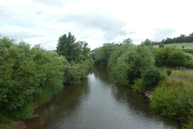
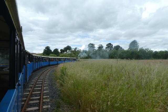
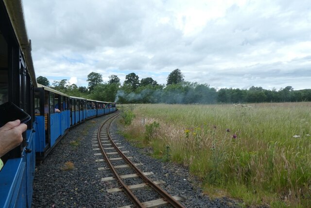
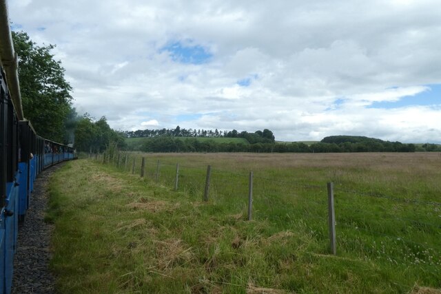
Noxes Plantation is a picturesque woodland located in Northumberland, England. Situated in the heart of the county, this forested area covers a vast expanse of approximately 500 acres. It is renowned for its natural beauty and rich biodiversity, making it a popular destination for nature enthusiasts and outdoor enthusiasts alike.

The plantation is primarily composed of dense, ancient woodlands, characterized by towering oak, beech, and birch trees. These majestic trees provide a canopy of shade, creating a tranquil and serene atmosphere throughout the entire area. Additionally, the forest floor is adorned with a diverse array of wildflowers, ferns, and mosses, adding to its enchanting allure.

Noxes Plantation is also home to a wide range of wildlife. Visitors may encounter various species of birds, including woodpeckers, owls, and thrushes, as well as small mammals such as rabbits, squirrels, and foxes. The plantation's secluded location and abundant food sources make it an ideal habitat for these creatures.

For those seeking outdoor activities, Noxes Plantation offers several walking trails and cycling paths that wind through its scenic landscape. These paths provide an opportunity to explore the forested areas, offering breathtaking views and glimpses of the local wildlife.

In conclusion, Noxes Plantation in Northumberland is a captivating woodland that offers a peaceful retreat for nature lovers. With its ancient trees, diverse flora, and thriving wildlife, it provides a truly immersive experience in the heart of nature. Whether one is seeking solitude or an active outdoor adventure, Noxes Plantation is a destination worth exploring.

If you have any feedback on the listing, please let us know in the comments section below.

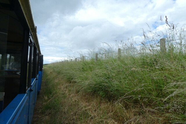
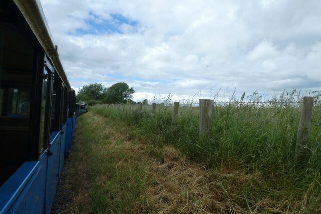
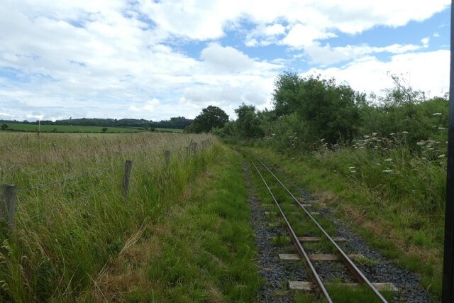
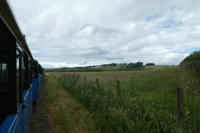
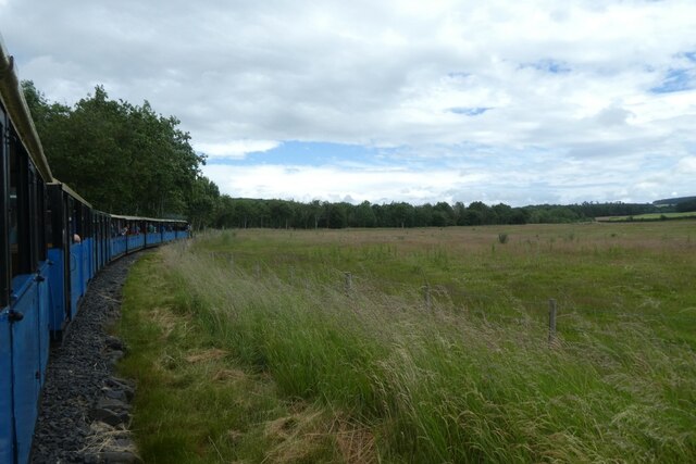
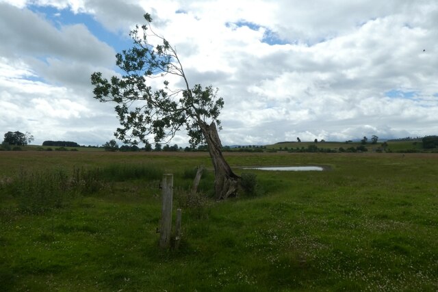
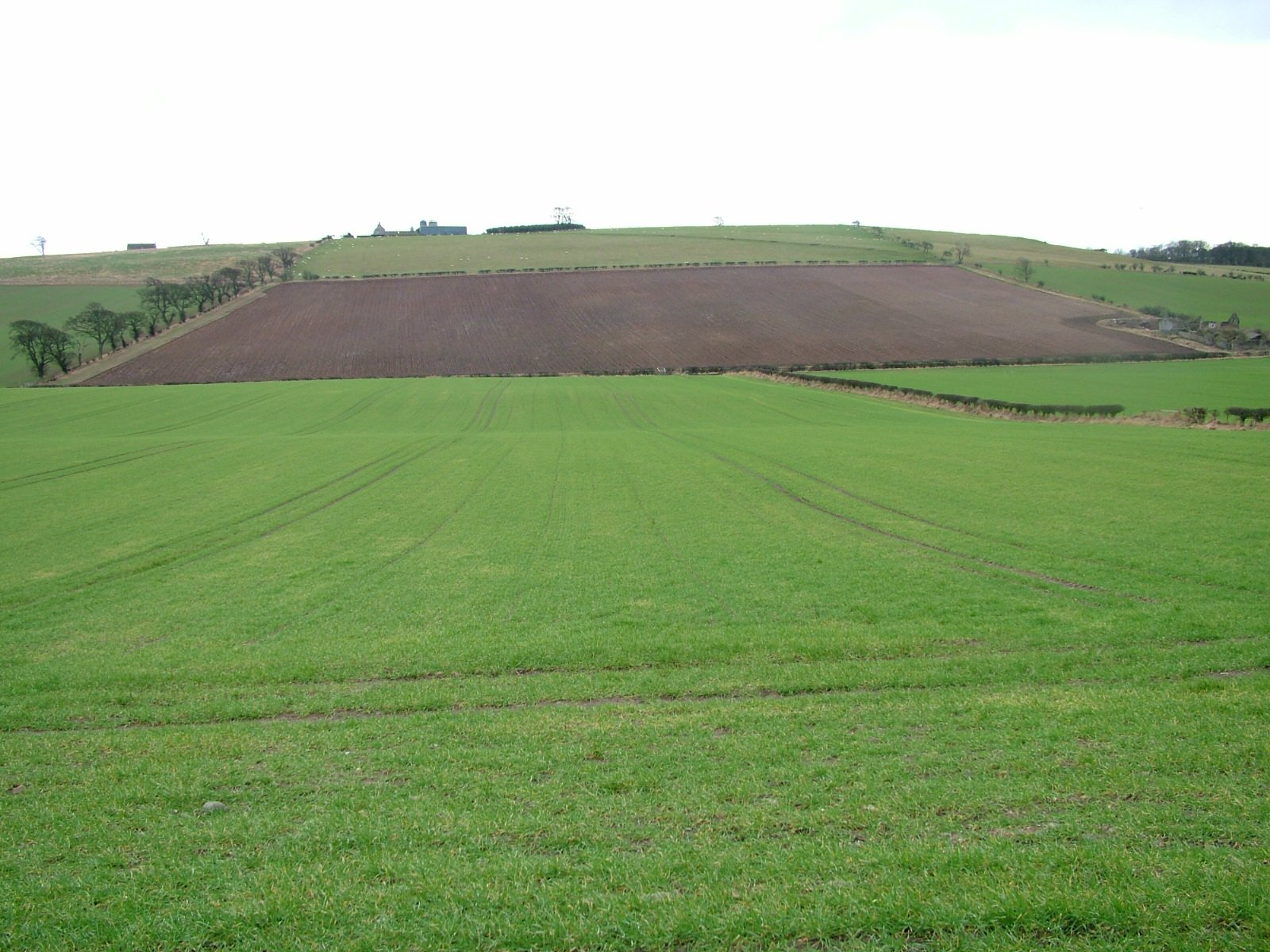
Noxes Plantation Images

Images are sourced within 2km of 55.634907/-2.130699 or Grid Reference NT9137. Thanks to Geograph Open Source API. All images are credited.

The Castle Gatehouse
Station buildings at Hetherslaw The smoke is from the locomotive being fired for the day's trains.
Station buildings at Hetherslaw
The smoke is from the locomotive being fired for the day's trains.
Coal and water Looking towards the coal, wood and water supplies at Heatherslaw.
Coal and water
Looking towards the coal, wood and water supplies at Heatherslaw.
Bridge over the River Till The bridge also crosses the Heatherslaw Light Railway.
Bridge over the River Till
The bridge also crosses the Heatherslaw Light Railway.
River Till from the bridge On the right the track of the Heatherslaw Light Railway can be seen.
River Till from the bridge
On the right the track of the Heatherslaw Light Railway can be seen.
Path to Heatherslaw Mill Compare with <a href="https://www.geograph.org.uk/photo/4158449">NT9338 : Heatherslaw village</a> eight years later.
Path to Heatherslaw Mill
Compare with NT9338 : Heatherslaw village eight years later.
Attaching the locomotive The locomotive The Lady Augusta being connected to the coaches for the first departure.
Attaching the locomotive
The locomotive The Lady Augusta being connected to the coaches for the first departure.
Train approaching the bridge Looking along the line after departing Heatherslaw station on the light railway.
Train approaching the bridge
Looking along the line after departing Heatherslaw station on the light railway.
Railway in a cutting A Heatherslaw Light Railway train heads towards Etal with the first service of the day.
Railway in a cutting
A Heatherslaw Light Railway train heads towards Etal with the first service of the day.
Train following the course of the river A Heatherslaw Light Railway train heads towards Etal with the first service of the day.
Train following the course of the river
A Heatherslaw Light Railway train heads towards Etal with the first service of the day.
Track beside the River Till Looking back along the tracks from a Heatherslaw Light Railway train as it heads towards Etal with the first service of the day.
Track beside the River Till
Looking back along the tracks from a Heatherslaw Light Railway train as it heads towards Etal with the first service of the day.
Train heading west beside the river A Heatherslaw Light Railway train heads towards Etal with the first service of the day.
Train heading west beside the river
A Heatherslaw Light Railway train heads towards Etal with the first service of the day.
Entering the passing loop A Heatherslaw Light Railway train heads towards Etal with the first service of the day.
Entering the passing loop
A Heatherslaw Light Railway train heads towards Etal with the first service of the day.
Train in the passing loop A Heatherslaw Light Railway train heads towards Etal with the first service of the day.
Train in the passing loop
A Heatherslaw Light Railway train heads towards Etal with the first service of the day.
West of the passing loop A Heatherslaw Light Railway train heads towards Etal with the first service of the day.
West of the passing loop
A Heatherslaw Light Railway train heads towards Etal with the first service of the day.
Fields beside the railway Viewed from the first Heatherslaw Light Railway train of the day as it heads towards Etal.
Fields beside the railway
Viewed from the first Heatherslaw Light Railway train of the day as it heads towards Etal.
Train following the course of the river A Heatherslaw Light Railway train heads towards Etal with the first service of the day.
Train following the course of the river
A Heatherslaw Light Railway train heads towards Etal with the first service of the day.
Tree beside the railway Looking across a field from the first Heatherslaw Light Railway train of the day. The rest of this tree lies a little bit further on to the left.
Tree beside the railway
Looking across a field from the first Heatherslaw Light Railway train of the day. The rest of this tree lies a little bit further on to the left.
Show me another place!

Noxes Plantation is located at Grid Ref: NT9137 (Lat: 55.634907, Lng: -2.130699)

Unitary Authority: Northumberland

Police Authority: Northumbria

What 3 Words

///prospered.girder.busy. Near Ford, Northumberland

Related Wikis

Crookham, Northumberland

Crookham is a village on the River Till in Northumberland, in England. It is situated approximately 8 km (5.0 mi) to the east of Coldstream and 14 km...
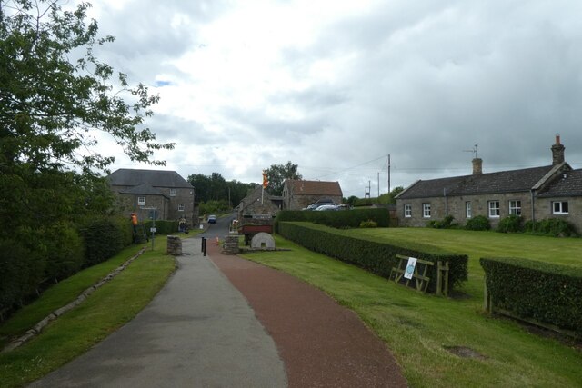
Ford Forge

Ford Forge (Ford Mill), Northumberland, England is located on the River Till between the villages of Ford and Etal. Buildings housing a water-powered forge...

Heatherslaw Mill

Heatherslaw Mill is a water mill situated on the Ford and Etal Estate, 7 miles north of the town of Wooler in the English county of Northumberland. It...
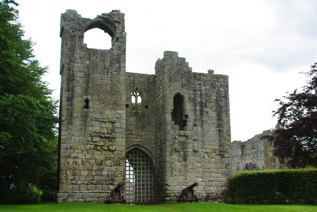
Etal Castle

Etal Castle is a ruined medieval fortification in the village of Etal, Northumberland, England. It was built around 1341 by Robert Manners, and comprised...

Etal, Northumberland

Etal ( EE-təl) is a small village in the far north of the county of Northumberland, England, in the civil parish of Ford. It lies on a bridging point of...

Branxton, Northumberland

Branxton is a village and civil parish in northern Northumberland, England. It lies about 3 miles (5 km) from the England-Scotland border and about 4 miles...

Pallinsburn House

Pallinsburn House is an 18th-century country house situated at Ford, Northumberland. It is a Grade II* listed building. The house was built about 1763...

Ford Castle

Ford Castle is a Grade I listed building situated at a shallow crossing point on the River Till, Ford, Northumberland, England. The castle dates from about...

Nearby Amenities

Located within 500m of 55.634907,-2.130699
Crookham
Is In: Northumberland
Place: village
Wikidata: Q5187896
Lat/Long: 55.6372183/-2.1343082
Post Box
Operator: Royal Mail
Post Box Mounting: stone_wall
Post Box Type: wall
Ref: TD12 115
Royal Cypher: scottish_crown
Lat/Long: 55.6373881/-2.1340076
Sandyford
Place: hamlet
Lat/Long: 55.6356316/-2.1271714
Direction: 265
Generator Method: photovoltaic
Generator Output Electricity: yes
Generator Solar Modules: 6
Generator Source: solar
Generator Type: solar_photovoltaic_panel
Location: roof
Power: generator
Lat/Long: 55.6367165/-2.1316561
Direction: 85
Generator Method: photovoltaic
Generator Output Electricity: yes
Generator Solar Modules: 6
Generator Source: solar
Generator Type: solar_photovoltaic_panel
Location: roof
Power: generator
Lat/Long: 55.6367172/-2.1316145
The data included in this document is from www.openstreetmap.org. The data is made available under ODbL.

Have you been to Noxes Plantation?

Leave your review of Noxes Plantation below (or comments, questions and feedback).