Millstones Hill

Hill, Mountain in Yorkshire Craven

England

Millstones Hill

Ford and Cat at Kirk Syke Farm This ford is found on Kirk Syke Lane. Another image when the ford was not so dry can be viewed at:
<a title="https://www.geograph.org.uk/photo/2838230" href="https://www.geograph.org.uk/photo/2838230">Link</a>
Ford and Cat at Kirk Syke Farm Credit: John Walton

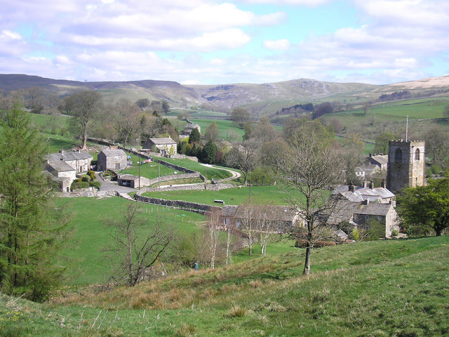
Millstones Hill, located in Yorkshire, is a prominent hill that stands at an elevation of approximately 390 meters (1,280 feet) above sea level. It is situated in the northern part of the county, near the village of Hutton-le-Hole. The hill is a part of the North York Moors National Park, renowned for its stunning natural beauty and diverse wildlife.

Millstones Hill offers breathtaking panoramic views of the surrounding countryside, making it a popular destination for hikers, nature enthusiasts, and photographers. The hill is characterized by its gently sloping terrain, covered in heather, grasses, and scattered boulders. It is also home to a variety of plant species, including bilberry and heath bedstraw.

The name Millstones Hill is derived from the historical presence of millstones in the area. In the past, millstones were quarried from the hill and used for grinding grains in local mills. Today, remnants of these quarries can still be seen, adding to the hill's historical significance.

The hill is also known for its rich archaeological heritage. Several prehistoric burial mounds, known as round barrows, can be found on Millstones Hill, indicating human activity in the area dating back thousands of years.

Millstones Hill is easily accessible, with several footpaths and trails leading to its summit. Visitors can enjoy a leisurely hike to the top, taking in the breathtaking views and immersing themselves in the tranquility of the surrounding countryside.

Overall, Millstones Hill is a natural gem in Yorkshire, offering a perfect blend of natural beauty, historical significance, and recreational opportunities for all who visit.

If you have any feedback on the listing, please let us know in the comments section below.

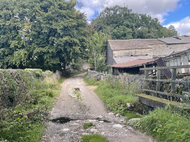
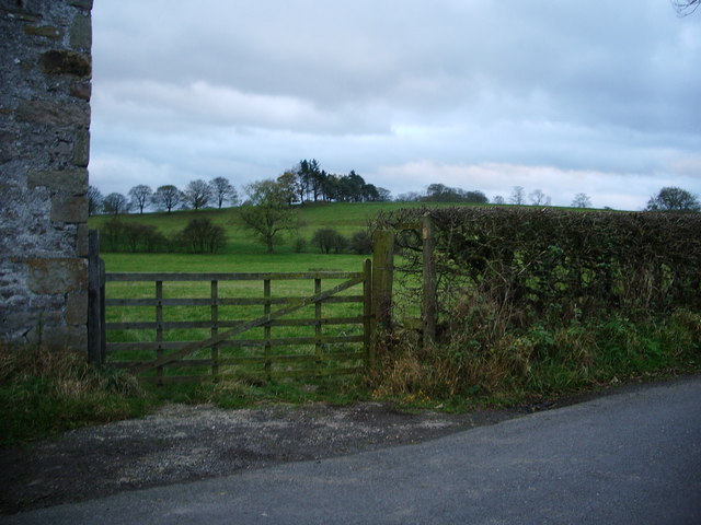
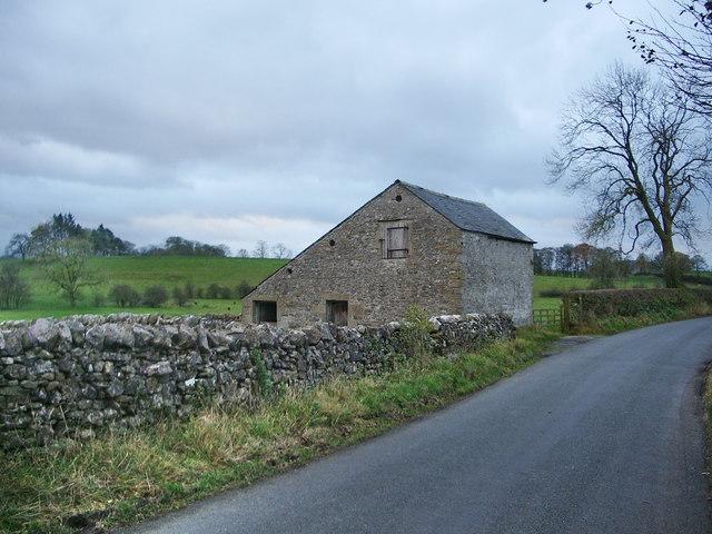
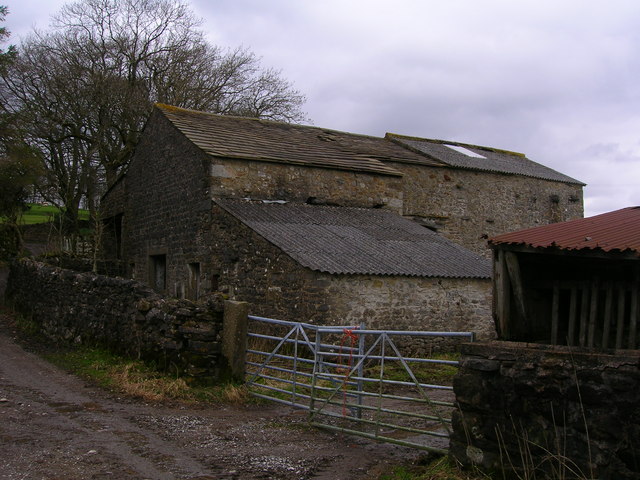
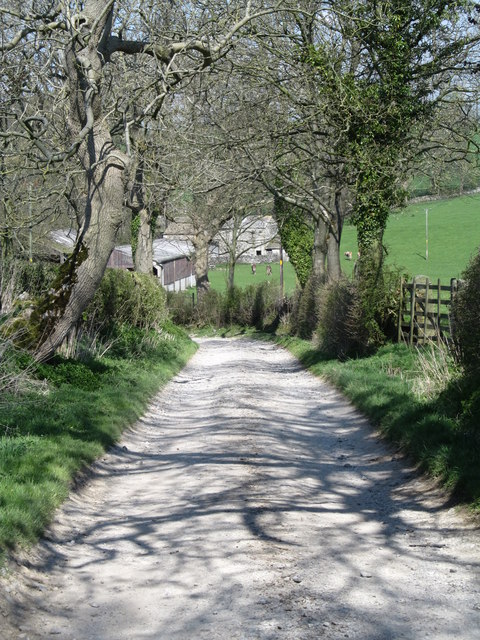
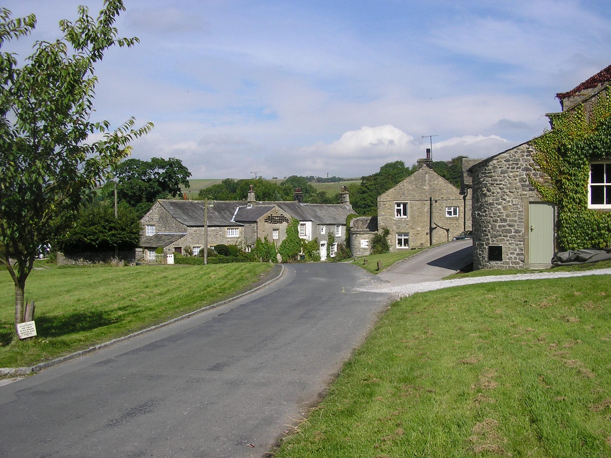
Millstones Hill Images

Images are sourced within 2km of 54.020916/-2.1335294 or Grid Reference SD9158. Thanks to Geograph Open Source API. All images are credited.

Ford and Cat at Kirk Syke Farm This ford is found on Kirk Syke Lane. Another image when the ford was not so dry can be viewed at:
<a title="https://www.geograph.org.uk/photo/2838230" href="https://www.geograph.org.uk/photo/2838230">Link</a>
Ford and Cat at Kirk Syke Farm
This ford is found on Kirk Syke Lane. Another image when the ford was not so dry can be viewed at: Link
Barn at Kirk Syke near Airton
Kirk Syke Lane Green Lane that runs from Airton to Bell Busk, just outside Kirk Syke Farm.
Kirk Syke Lane
Green Lane that runs from Airton to Bell Busk, just outside Kirk Syke Farm.
Kirk Syke Farming operation between Airton and Bell Busk.
Kirk Syke
Farming operation between Airton and Bell Busk.
Bridleway to Scosthrop Lane
Footpath to Kirk Sykes
Tormire Laithe
Tormire Laithe
Black sheep of the family
Houses, Scosthrop Lane, Scosthrop Settle Road is only short, then the name changes to Scosthrop Lane.  These two houses have a strip of grass in front – the remains of a village green?
Houses, Scosthrop Lane, Scosthrop
Settle Road is only short, then the name changes to Scosthrop Lane. These two houses have a strip of grass in front – the remains of a village green?
Scosthrop Lane, Scosthrop A country lane leading to Settle, but we are not quite out of the village, the last row of houses is in the centre of the view.
Scosthrop Lane, Scosthrop
A country lane leading to Settle, but we are not quite out of the village, the last row of houses is in the centre of the view.
Barn at Kirk Syke
Barn at Kirk Syke
Ford at Kirk Syke Farm
Bridleway to Town End, Airton This links the two roads which leave Airton to the west.
Bridleway to Town End, Airton
This links the two roads which leave Airton to the west.
Cows by Moor End Farm
Field south of Kirk Syke
Barn at Kirk Syke The barn looks typical of those in the southern dales, but has had some of the stone slates replaced with what looks like corrugated asbestos.
Barn at Kirk Syke
The barn looks typical of those in the southern dales, but has had some of the stone slates replaced with what looks like corrugated asbestos.
Kirk Syke Lane Looking north along the lane towards Kirk Syke Farm.
Kirk Syke Lane
Looking north along the lane towards Kirk Syke Farm.
Country road near Airton (1)
Show me another place!

Millstones Hill is located at Grid Ref: SD9158 (Lat: 54.020916, Lng: -2.1335294)

Division: West Riding

Administrative County: North Yorkshire

District: Craven

Police Authority: North Yorkshire

What 3 Words

///cheetahs.candles.aquatic. Near Gargrave, North Yorkshire

Related Wikis

Newfield Hall

Newfield Hall is a former country house located 1 mile (1.6 km) to the southeast of the village of Airton, North Yorkshire, England. It is now a hotel...

Calton, North Yorkshire

Calton is a village and civil parish in the Craven district of North Yorkshire, England, on the River Aire in Airedale. In both the 2001 and 2011 Censuses...

Airton

Airton (also known as Airton-in-Craven) is a small village and civil parish in the Craven district of North Yorkshire, England, situated 10 miles (16 km...

Scosthrop

Scosthrop is a civil parish in the Craven district of North Yorkshire, England. The population as taken at the 2011 Census was less than 100. Details are...

Kirkby Malham

Kirkby Malham is a small village and civil parish in the Craven district of North Yorkshire, England. Situated in the Yorkshire Dales it lies 5 miles...

Bell Busk

Bell Busk is a hamlet situated in the Craven district of North Yorkshire, England. The hamlet is located at the southern end of Malhamdale where the nascent...

Winterburn

Winterburn is a village in the Craven district of North Yorkshire, England. It is about 5 miles (8 km) south west of Grassington. Winterburn Reservoir...

Bell Busk railway station

Bell Busk railway station served the hamlet of Bell Busk in North Yorkshire, England. It was located on the Leeds to Morecambe Line between Gargrave and...

Nearby Amenities

Located within 500m of 54.020916,-2.1335294
Middlesber Hill
Place: locality
Lat/Long: 54.0224433/-2.1280858
Shoulbreads Laithe
Place: locality
Lat/Long: 54.022172/-2.1318051
Linedale Laithe
Place: locality
Lat/Long: 54.0209901/-2.1287336
Millstones Hill
Natural: peak
Source: OS 1:25k
Lat/Long: 54.0212686/-2.1337277
Post Box
Brand: Royal Mail
Brand Wikidata: Q638098
Brand Wikipedia: en:Royal Mail
Operator: Royal Mail
Operator Wikidata: Q638098
Post Box Type: wall
Ref: BD23 81
Royal Cypher: EIIR
Royal Cypher Wikidata: Q33102113
Lat/Long: 54.018523/-2.1394237
Entrance: yes
Lat/Long: 54.0192637/-2.1367516
Entrance: yes
Lat/Long: 54.0192236/-2.1367155
Entrance: main
Lat/Long: 54.0190164/-2.1366411
Defibrillator
Defibrillator Location: inside near Manager's office
Emergency: defibrillator
Lat/Long: 54.0190659/-2.1365852
Midllesber Hill
Natural: peak
Source: OS sheet 150,publ 1853
Lat/Long: 54.0216938/-2.1275917
lime kiln
Archaeological Site: lime_kiln
Historic: archaeological_site
Mineral: limestone
Output: lime
Source: OS sheet 150, publ. 1853
Lat/Long: 54.0215428/-2.1291581
Power: pole
Source: Bing
Lat/Long: 54.0183607/-2.1394788
Barrier: bollard
Lat/Long: 54.019179/-2.136701
Barrier: bollard
Lat/Long: 54.0192871/-2.1367601
Power: pole
Source: Bing
Lat/Long: 54.0183405/-2.1396439
The data included in this document is from www.openstreetmap.org. The data is made available under ODbL.

Have you been to Millstones Hill?

Leave your review of Millstones Hill below (or comments, questions and feedback).