Inner Hill

Hill, Mountain in Northumberland

England

Inner Hill

A blocked forestry track above Sting Burn Dating from Storm Arwen (26/27 November 2021), this section of little-used forestry track north-east of Memmer Kirk was impassable on bike, and would be rather tricky on foot.

This photograph was taken during the Coronavirus (COVID-19) pandemic of 2020/21/22.
A blocked forestry track above Sting Burn Credit: James T M Towill

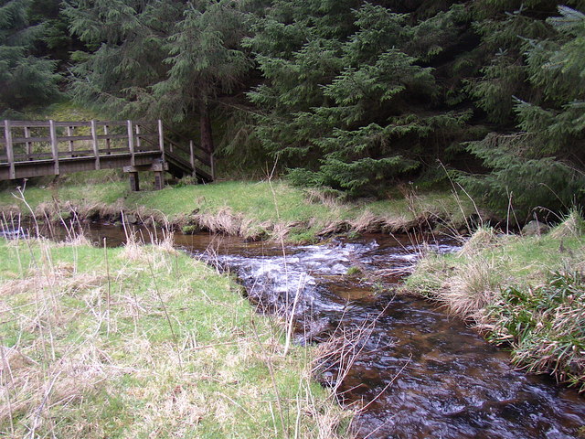
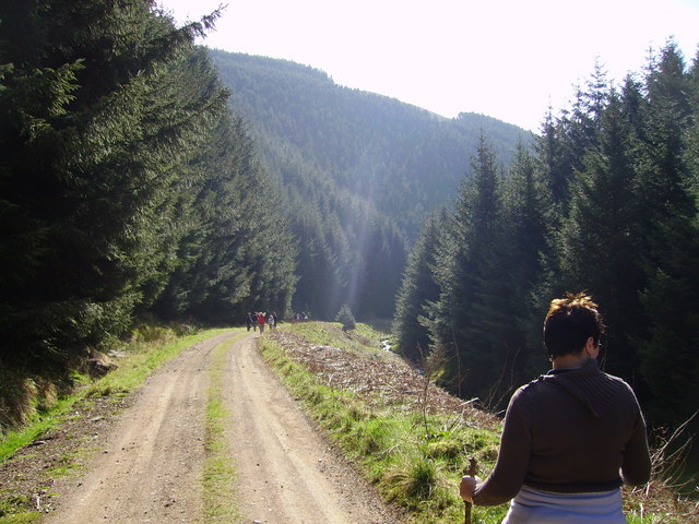
Inner Hill is a prominent hill located in the county of Northumberland, in the northeast region of England. It is situated within the Northumberland National Park, near the village of Alwinton. Standing at an elevation of approximately 455 meters (1,493 feet), Inner Hill offers breathtaking panoramic views of the surrounding countryside.

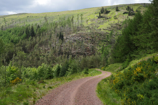
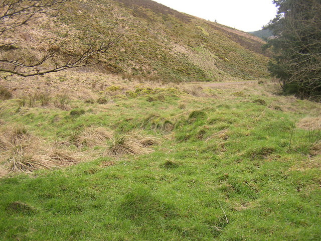
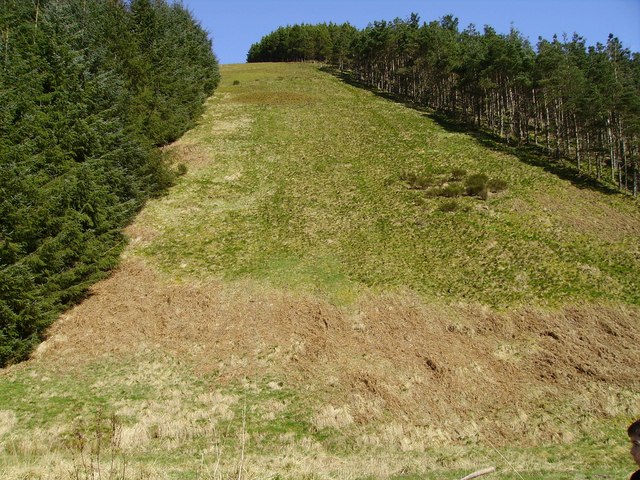
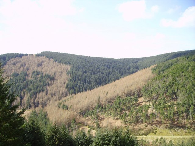
The hill is characterized by its rolling landscape, covered in lush greenery, heather, and bracken. Its slopes are gentle and gradually ascend, making it an accessible attraction for hikers and nature enthusiasts of all skill levels. The summit of Inner Hill is marked by a trig point, serving as a reference point for surveying and navigation.

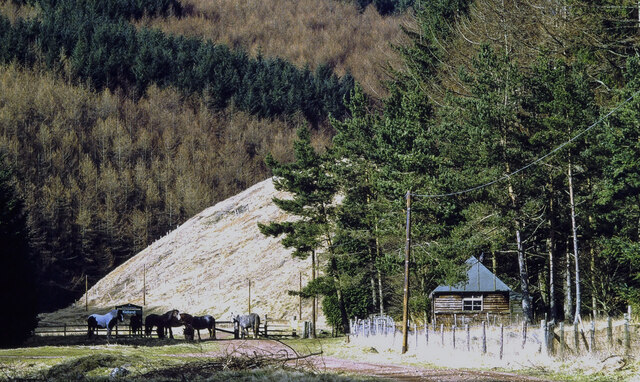
As part of the Northumberland National Park, Inner Hill is home to a diverse range of plant and animal species, including various bird species, small mammals, and rare flora. The hill is particularly known for its abundant birdlife, making it a popular destination for birdwatching enthusiasts.

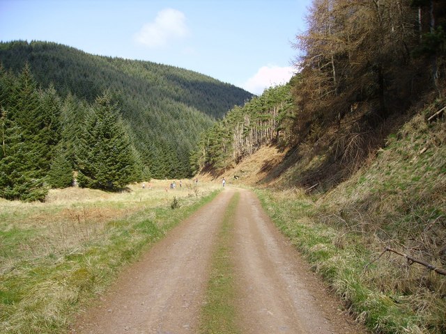
Visitors to Inner Hill can enjoy a range of outdoor activities, such as hiking, picnicking, and photography. The hill's tranquil surroundings and unspoiled natural beauty make it an ideal location for those seeking peace and solitude.

Access to Inner Hill is facilitated by a network of well-maintained footpaths and trails that wind through the surrounding countryside. Nearby parking facilities and visitor amenities, such as information boards and picnic areas, enhance the overall experience for visitors.

Overall, Inner Hill in Northumberland offers a picturesque and serene setting, providing a memorable experience for nature lovers and outdoor enthusiasts alike.

If you have any feedback on the listing, please let us know in the comments section below.
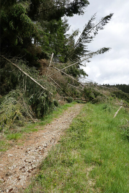
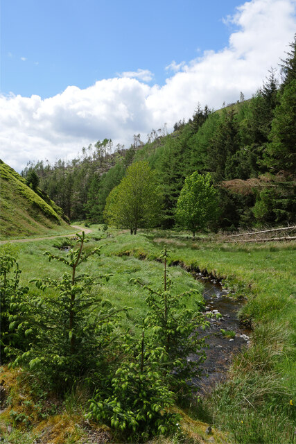
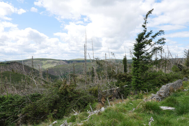
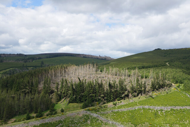
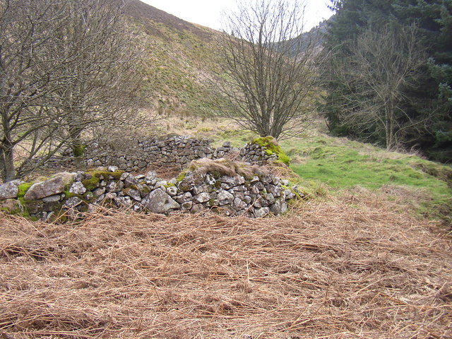
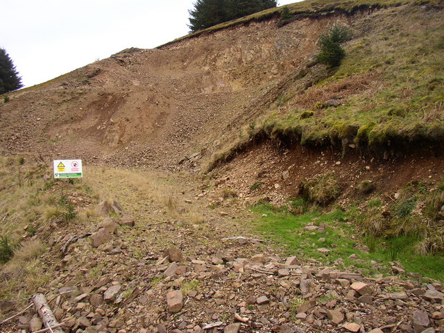
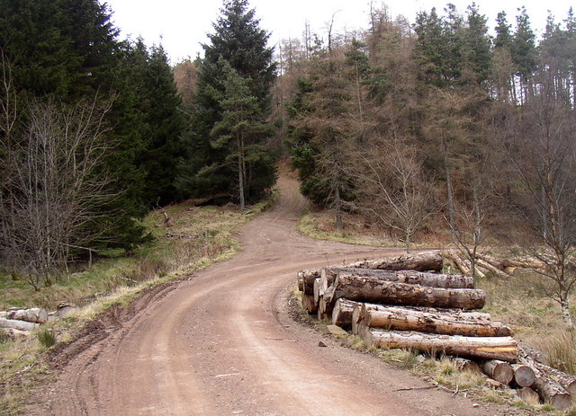
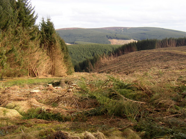
Inner Hill Images

Images are sourced within 2km of 55.395842/-2.1383068 or Grid Reference NT9111. Thanks to Geograph Open Source API. All images are credited.

A blocked forestry track above Sting Burn Dating from Storm Arwen (26/27 November 2021), this section of little-used forestry track north-east of Memmer Kirk was impassable on bike, and would be rather tricky on foot.

This photograph was taken during the Coronavirus (COVID-19) pandemic of 2020/21/22.
A blocked forestry track above Sting Burn
Dating from Storm Arwen (26/27 November 2021), this section of little-used forestry track north-east of Memmer Kirk was impassable on bike, and would be rather tricky on foot. This photograph was taken during the Coronavirus (COVID-19) pandemic of 2020/21/22.
The Yoke Burn in Kidland Forest Labelled as a ford on the 1:25k map, the Yoke Burn is now conveyed under the forestry track in a culvert.

This photograph was taken during the Coronavirus (COVID-19) pandemic of 2020/21/22.
The Yoke Burn in Kidland Forest
Labelled as a ford on the 1:25k map, the Yoke Burn is now conveyed under the forestry track in a culvert. This photograph was taken during the Coronavirus (COVID-19) pandemic of 2020/21/22.
Devastation on Dryhope Hill Storm Arwen (26/27 November 2021) has resulted in destruction of numerous areas within Kidland Forest.

This photograph was taken during the Coronavirus (COVID-19) pandemic of 2020/21/22.
Devastation on Dryhope Hill
Storm Arwen (26/27 November 2021) has resulted in destruction of numerous areas within Kidland Forest. This photograph was taken during the Coronavirus (COVID-19) pandemic of 2020/21/22.
Illuminating the destruction A patch of glorious sunlight illuminates an area of Kidland Forest badly damaged by Storm Arwen (26/27 November 2021).  Earlier, I had tried to bike up the track shown here, only to be stopped by the many trees blocking my way.

This photograph was taken during the Coronavirus (COVID-19) pandemic of 2020/21/22.
Illuminating the destruction
A patch of glorious sunlight illuminates an area of Kidland Forest badly damaged by Storm Arwen (26/27 November 2021). Earlier, I had tried to bike up the track shown here, only to be stopped by the many trees blocking my way. This photograph was taken during the Coronavirus (COVID-19) pandemic of 2020/21/22.
A track between Meadow Sike and Milkhope Heading back down to the valley floor track after a cycle to Sting Head.  Storm Arwen (26/27 November 2021) has resulted in destruction of numerous areas within Kidland Forest as seen on the hillside in the background.

This photograph was taken during the Coronavirus (COVID-19) pandemic of 2020/21/22.
A track between Meadow Sike and Milkhope
Heading back down to the valley floor track after a cycle to Sting Head. Storm Arwen (26/27 November 2021) has resulted in destruction of numerous areas within Kidland Forest as seen on the hillside in the background. This photograph was taken during the Coronavirus (COVID-19) pandemic of 2020/21/22.
Hut and ponies beside bridleway This is in the valley of the Yoke Beck in the Kidland Forest as the sign close to the animals tells. The image was made in 1995 and the building, may no longer be there.
Geoff Holland has a more recent image taken from a little further north and so probably beyond the hut's location - <a title="https://www.geograph.org.uk/photo/6856451" href="https://www.geograph.org.uk/photo/6856451">Link</a> .
Hut and ponies beside bridleway
This is in the valley of the Yoke Beck in the Kidland Forest as the sign close to the animals tells. The image was made in 1995 and the building, may no longer be there. Geoff Holland has a more recent image taken from a little further north and so probably beyond the hut's location - Link .
New road at Lindhope Linn, Kidland Forest. The trees in Kidland Forest have reached maturity. This road has been constructed to give access to this remote area of the forest for the harvesting of trees.
New road at Lindhope Linn, Kidland Forest.
The trees in Kidland Forest have reached maturity. This road has been constructed to give access to this remote area of the forest for the harvesting of trees.
Memmer Kirk (remains of) Believed to be the site of a Medieval Chapel
Memmer Kirk (remains of)
Believed to be the site of a Medieval Chapel
Stell next to the site of Memmer Kirk
Quarry in Yoke Burn area of Kidland Forest A new Forestry access road is under construction in this area of the forest and stone from this quarry is being used in that process.
Quarry in Yoke Burn area of Kidland Forest
A new Forestry access road is under construction in this area of the forest and stone from this quarry is being used in that process.
Bridleway to Heigh leaves the forest road in Kidland
Tree felling in Kidland Forest
The Yoke Burn and White Burn join to form the River Alwin
Looking up slope from valley floor Looking up the Slope (ski run?) near to Wether Hill from close to Whiteburnshank
Looking up slope from valley floor
Looking up the Slope (ski run?) near to Wether Hill from close to Whiteburnshank
Looking along valley Looking along valley near Sneer Hill (right of picture)
Looking along valley
Looking along valley near Sneer Hill (right of picture)
Looking across valley View of valley much better than my pic can show worth the walk up to it.
Looking across valley
View of valley much better than my pic can show worth the walk up to it.
Looking along valley floor Valley floor down from Whiteburnshank
Looking along valley floor
Valley floor down from Whiteburnshank
Forest Fell Part of hill after a felling operation, note they missed the half tree on the left of picture.
Forest Fell
Part of hill after a felling operation, note they missed the half tree on the left of picture.
Show me another place!

Inner Hill is located at Grid Ref: NT9111 (Lat: 55.395842, Lng: -2.1383068)

Unitary Authority: Northumberland

Police Authority: Northumbria

What 3 Words

///bystander.good.body. Near Whittingham, Northumberland

Nearby Locations

Inner Hill

Related Wikis

Kidland

Kidland is a former civil parish, now in the parish of Alwinton in Northumberland, England, about 2 miles (3 km) northwest of Alwinton village. In 1951...

Clennell, Northumberland

Clennell is a small village and as Clennel, a former civil parish, now in the parish of Alwinton, in Northumberland, England. It is about 1 mile (1.6 km...

Shillhope Law

Shillhope Law is a hill in the southern Cheviots, a range of hills in Northumberland, England. Shillhope Law is a relatively unremarkable member of this...

Clennell Hall

Clennell Hall is an historic manor house, now operated as a country hotel, situated at Clennell, near Alwinton, Northumberland, England. It is a Grade...

Usway Burn

The Usway Burn is an upland river on the southern flanks of the Cheviot Hills, in the Northumberland National Park, England. It is a tributary of the River...

Barrow Burn Meadows

Barrow Burn Meadows is a Site of Special Scientific Interest (SSSI) in north Northumberland, England. The site is a species-rich hay meadow of a sort now...

Barrow Burn

Barrowburn is a hamlet in Upper Coquetdale in the county of Northumberland, England. It comprises a working farm with associated buildings and two holiday...

Alwinton

Alwinton (previously named "Allenton" and sometimes still referred to as this) is a village and former parish in Northumberland, England. Alwinton is named...

Nearby Amenities

Located within 500m of 55.395842,-2.1383068
Inner Hill
Ele: 432
Natural: peak
Lat/Long: 55.3957209/-2.1386038
The data included in this document is from www.openstreetmap.org. The data is made available under ODbL.

Have you been to Inner Hill?

Leave your review of Inner Hill below (or comments, questions and feedback).