Appletree Hill

Hill, Mountain in Staffordshire Stafford

England

Appletree Hill

Strawberry fields forever! Giant polytunnels housing strawberry plants, just ready for harvesting.
Strawberry fields forever! Credit: Eirian Evans

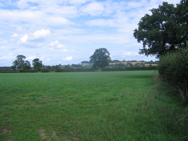
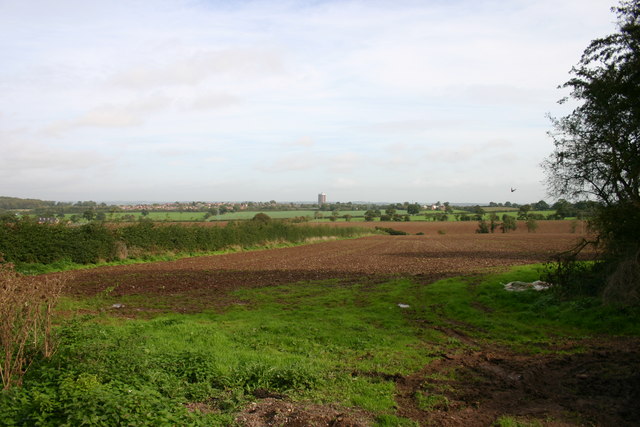
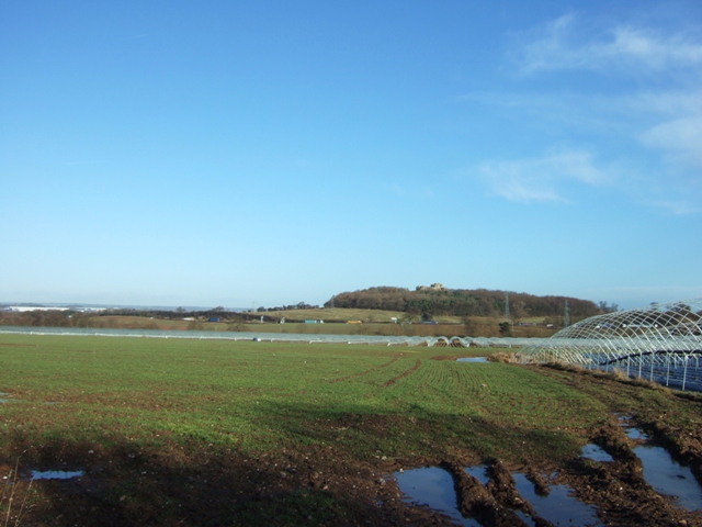
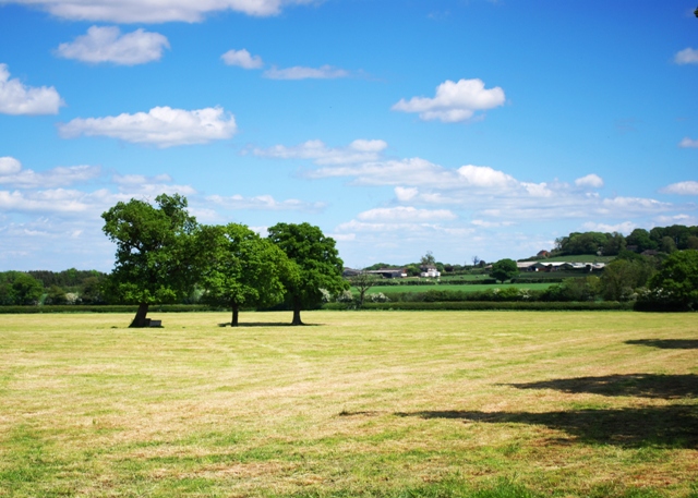
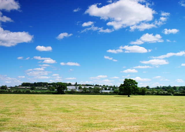
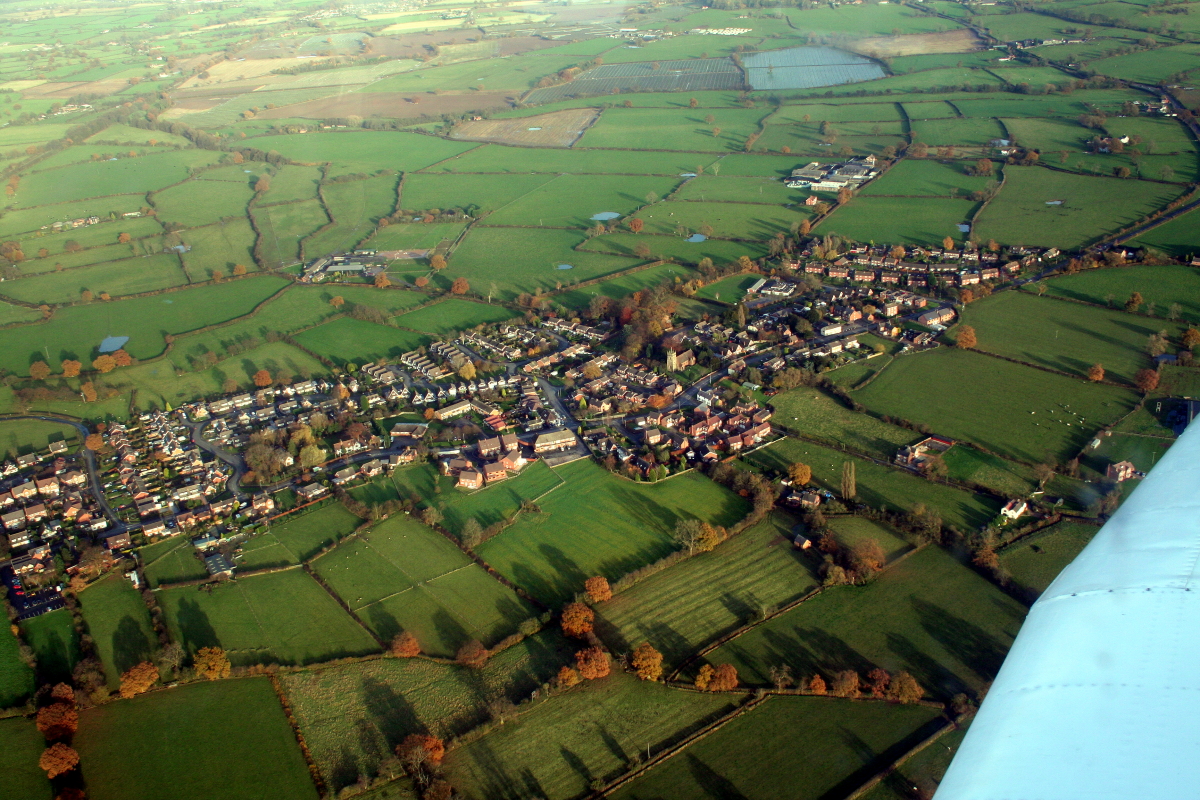
Appletree Hill is a prominent landmark located in Staffordshire, England. As the name suggests, it is an elevated area characterized by its abundance of apple trees. Situated near the town of Uttoxeter, the hill stands at an elevation of approximately 200 meters, offering breathtaking views of the surrounding countryside.

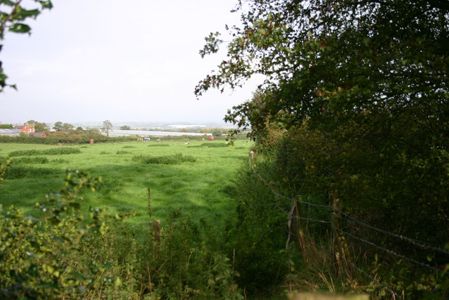
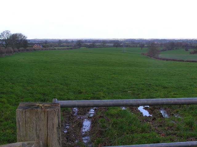
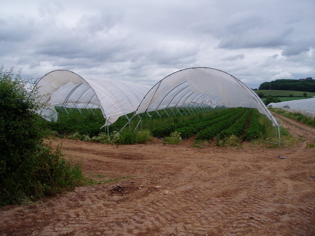
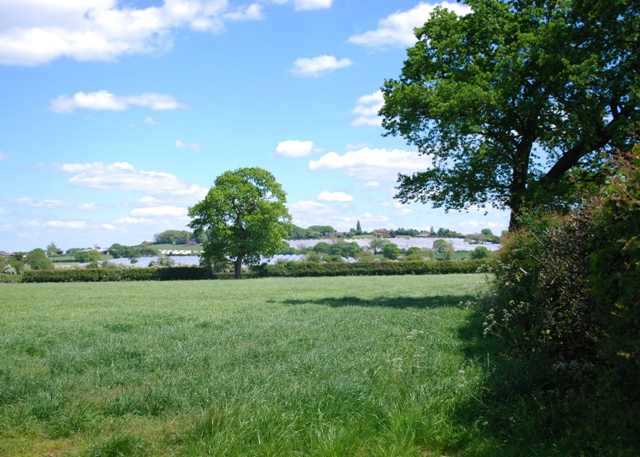
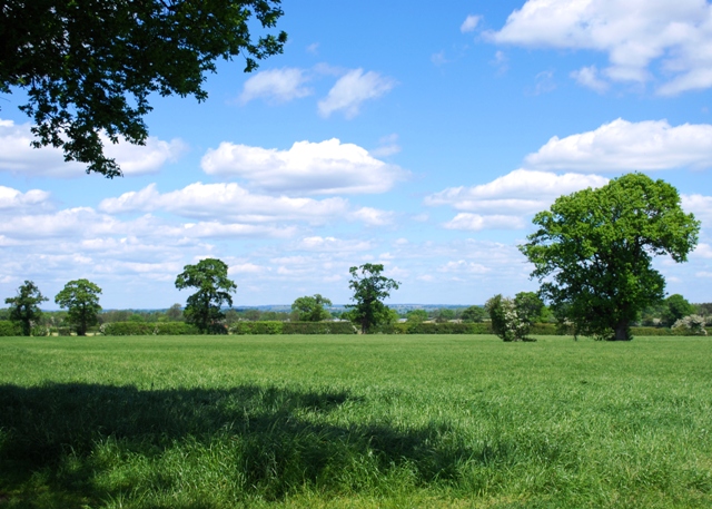
Covered in a lush carpet of green grass and surrounded by picturesque meadows, Appletree Hill is a popular destination for nature enthusiasts and hikers. The hill is home to a diverse range of flora and fauna, with various species of birds and small mammals inhabiting the area.

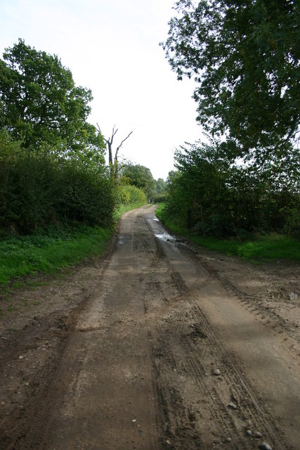
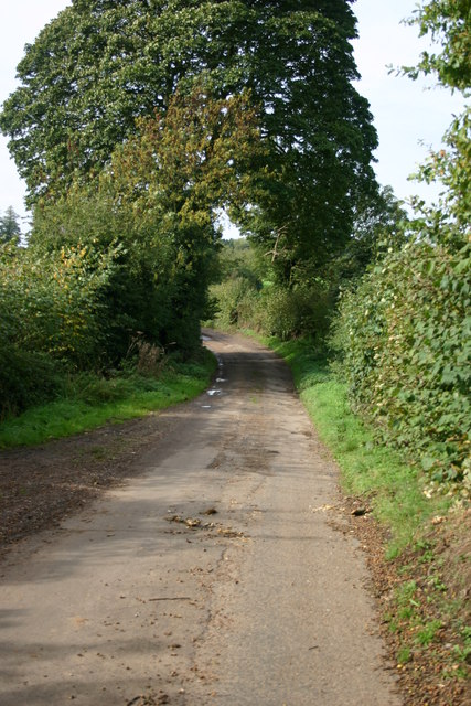
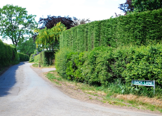
The hill is accessible via a network of well-maintained footpaths, making it a great spot for outdoor activities such as walking, jogging, and picnicking. There are also designated picnic areas with benches, allowing visitors to relax and enjoy the peaceful surroundings.

During the spring months, Appletree Hill transforms into a colorful spectacle as the apple trees burst into bloom, blanketing the area in a sea of vibrant pink and white blossoms. This natural beauty attracts many visitors and photographers eager to capture the stunning scenery.

With its tranquil ambiance and stunning panoramic views, Appletree Hill is a cherished location for locals and tourists alike. Whether it's a leisurely stroll or a challenging hike, a visit to this hill in Staffordshire promises a memorable experience for all who venture to its summit.

If you have any feedback on the listing, please let us know in the comments section below.

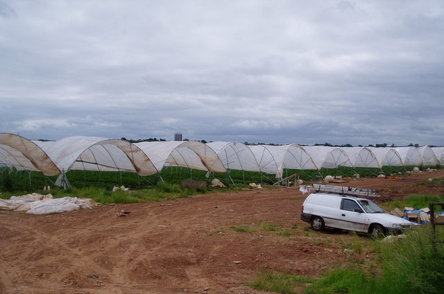
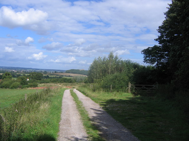
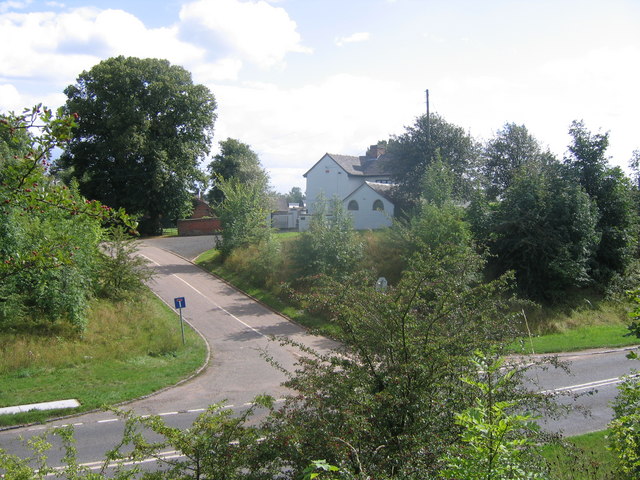
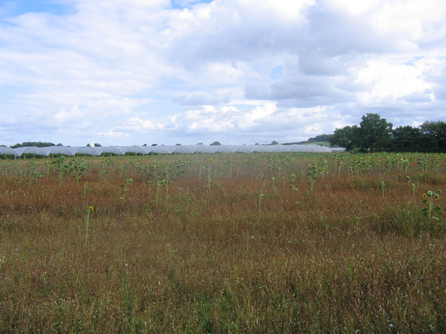
Appletree Hill Images

Images are sourced within 2km of 52.779721/-2.1688447 or Grid Reference SJ8820. Thanks to Geograph Open Source API. All images are credited.

Strawberry fields forever! Giant polytunnels housing strawberry plants, just ready for harvesting.
Strawberry fields forever!
Giant polytunnels housing strawberry plants, just ready for harvesting.
Track at Bury Ring The earthworks of the iron age hill fort of Bury Ring is in the trees to the right, while a later generation of fort (but still very old), that of Stafford Castle, can be seen in the woods in the distance.
Track at Bury Ring
The earthworks of the iron age hill fort of Bury Ring is in the trees to the right, while a later generation of fort (but still very old), that of Stafford Castle, can be seen in the woods in the distance.
Billington Looking from the road to Bury Ring earthworks to Billington Farm across the A518
Billington
Looking from the road to Bury Ring earthworks to Billington Farm across the A518
Scattered sunflowers in field A field with seemingly random sunflowers
Scattered sunflowers in field
A field with seemingly random sunflowers
Grassy field An empty grassy field. The trees on the high ground on the horizon mark the earthworks of an iron age fort, called Bury Ring
Grassy field
An empty grassy field. The trees on the high ground on the horizon mark the earthworks of an iron age fort, called Bury Ring
Fields off Billington Bank, Stafford A view of fields from an unnamed lane off the brow of Billington bank near Stafford. On the horizon in the distance is 'The Keep', a block of flats on the Highfields Estate in Stafford. There used to be a second block but that was brought down and new housing built.
Fields off Billington Bank, Stafford
A view of fields from an unnamed lane off the brow of Billington bank near Stafford. On the horizon in the distance is 'The Keep', a block of flats on the Highfields Estate in Stafford. There used to be a second block but that was brought down and new housing built.
Unnamed Lane to Leese Farm At the end of this unnamed lane is a public footpath and Leese Farm which can just be seen (the two white features are the windows!).
Unnamed Lane to Leese Farm
At the end of this unnamed lane is a public footpath and Leese Farm which can just be seen (the two white features are the windows!).
A Field next to Billington Bank, Stafford This field is next to Billington Bank (A518) which is just beyond the distant hedge. Over the other side of the road are cold frames which produce strawberries for supermarkets.
A Field next to Billington Bank, Stafford
This field is next to Billington Bank (A518) which is just beyond the distant hedge. Over the other side of the road are cold frames which produce strawberries for supermarkets.
Un-named Lane off Billington Bank, Stafford This lane is leading to the A518, Billington Bank near Stafford.
Un-named Lane off Billington Bank, Stafford
This lane is leading to the A518, Billington Bank near Stafford.
Leese Farm from Thorneyfields Lane
Farmland near Stafford Castle Looking across fields towards the M6 motorway with Stafford castle sat high on its hill and motte in the distance. 
The large white buildings to the left are the industrial units of Primepoint 14 by Junction 14.
The polytunnels are a part of a strawberry farm that attracts droves of eastern European fruitpickers each summer.
Farmland near Stafford Castle
Looking across fields towards the M6 motorway with Stafford castle sat high on its hill and motte in the distance. The large white buildings to the left are the industrial units of Primepoint 14 by Junction 14. The polytunnels are a part of a strawberry farm that attracts droves of eastern European fruitpickers each summer.
Polytunnels near Stafford Protected cropping for strawberries. The crops are picked by a crowd of eastern European workers during the season.
Polytunnels near Stafford
Protected cropping for strawberries. The crops are picked by a crowd of eastern European workers during the season.
Polytunnels full of strawberries Just west of Stafford.
Polytunnels full of strawberries
Just west of Stafford.
Fields near Haughton. Looking from the junction of Dale Lane and Back Lane towards the mass of protected cropping on the western flanks of Bury Ring. The trees on the top of the hill conceal an ancient hillfort.
Fields near Haughton.
Looking from the junction of Dale Lane and Back Lane towards the mass of protected cropping on the western flanks of Bury Ring. The trees on the top of the hill conceal an ancient hillfort.
Towards Haughton Dale. Seen from Dale Lane, near the junction with Back Lane.
Towards Haughton Dale.
Seen from Dale Lane, near the junction with Back Lane.
Back Lane Looking towards Haughton from Dale Lane.
Back Lane
Looking towards Haughton from Dale Lane.
Recently mown fields Looking across towards Dearnsdale and the hill fort at Bury Ring. The fields will have been mown for silage for the cows at the large dairy farm nearby on Back Lane.
Recently mown fields
Looking across towards Dearnsdale and the hill fort at Bury Ring. The fields will have been mown for silage for the cows at the large dairy farm nearby on Back Lane.
Silage time The massed polytunnels below Bury Ring protect huge numbers of strawberry plants and are just a small proportion of those in the area. In the fruit-picking season Stafford becomes filled with Polish and other eastern European workers.
Silage time
The massed polytunnels below Bury Ring protect huge numbers of strawberry plants and are just a small proportion of those in the area. In the fruit-picking season Stafford becomes filled with Polish and other eastern European workers.
Show me another place!

Appletree Hill is located at Grid Ref: SJ8820 (Lat: 52.779721, Lng: -2.1688447)

Administrative County: Staffordshire

District: Stafford

Police Authority: Staffordshire

What 3 Words

///purchaser.field.hobble. Near Stafford, Staffordshire

Nearby Locations

Billington Appletree Hill

Related Wikis

Berry Ring

Berry Ring (also known as Bury Ring) is an Iron Age hillfort in Staffordshire, England, lying some two miles southwest of the county town of Stafford,...

Brazenhill

Brazenhill is rural area immediately north of the village of Haughton in Staffordshire, England. It is effectively defined by Brazenhill Lane which is...

Haughton, Staffordshire

Haughton is a village in Staffordshire, England, approximately 4 miles outside and to the west of the county town of Stafford. It lies on the A518 between...

St Lawrence's Church, Coppenhall

St Lawrence's Church, Coppenhall is a Grade II* listed parish church in the Church of England in Coppenhall, Staffordshire. == History == The small ancient...

Derrington

Derrington is a village west of the town of Stafford, in Staffordshire, England. For population details from the 2011 Census see under Seighford. Derrington...

Stafford Rural District

Stafford Rural District was a rural district in the county of Staffordshire. It was created in 1894 and abolished in 1974 by virtue of the Local Government...

Aston, Stafford

Aston is a hamlet in the county of Staffordshire, England. Aston was recorded in the Domesday Book as Estone. == References ==

Bradley, Staffordshire

Bradley is a village and civil parish in Staffordshire, England. The population of the civil parish at the 2011 census was 513. It is located close to...

Nearby Amenities

Located within 500m of 52.779721,-2.1688447
Bus Stop
Billington Hall
Bus: yes
Naptan AtcoCode: 3800C751101
Naptan Bearing: NE
Naptan CommonName: Billington Hall
Naptan Indicator: opp
Naptan Landmark: BillingtonHall
Naptan NaptanCode: stadadtw
Naptan Street: Newport Road
Naptan Verified: no
Public Transport: platform
Source: naptan_import
Lat/Long: 52.782231/-2.1749506
Bus Stop
Billington Hall
Bus: yes
Naptan AtcoCode: 3800C751102
Naptan Bearing: SW
Naptan CommonName: Billington Hall
Naptan Indicator: adj
Naptan Landmark: Billington Hall
Naptan NaptanCode: stadadjg
Naptan Street: Newport Road
Naptan Verified: no
Public Transport: platform
Source: naptan_import
Lat/Long: 52.7823852/-2.1740616
The data included in this document is from www.openstreetmap.org. The data is made available under ODbL.

Have you been to Appletree Hill?

Leave your review of Appletree Hill below (or comments, questions and feedback).