Billington
Settlement in Staffordshire Stafford
England
Billington
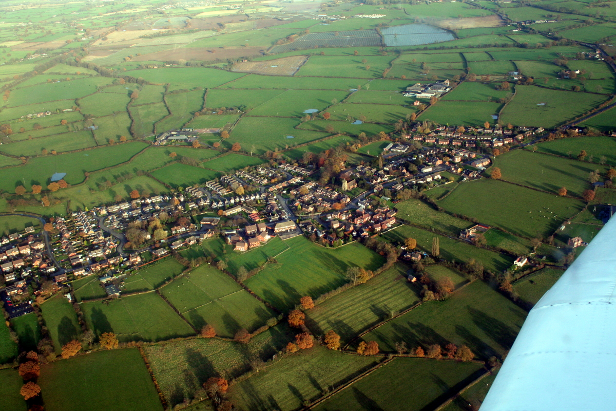
Billington is a small village located in the county of Staffordshire, England. Situated approximately 5 miles south of the county town of Stafford, it lies on the western bank of the River Penk. The village is part of the civil parish of Penkridge, and its population is estimated to be around 500 residents.
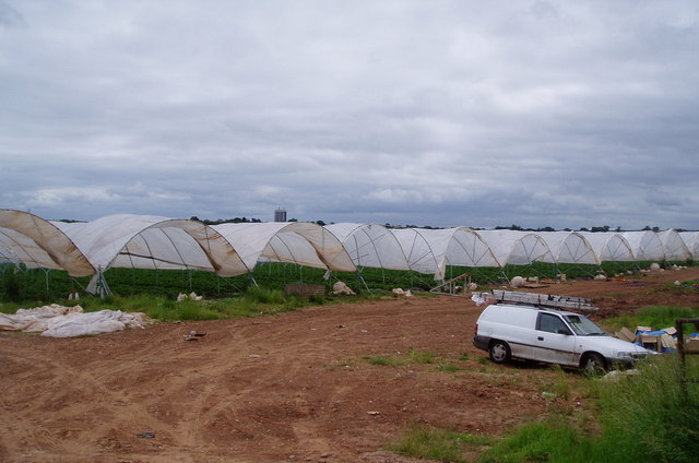
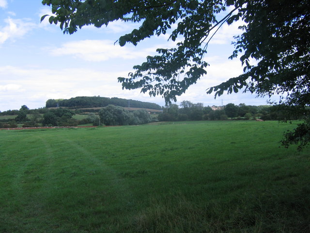
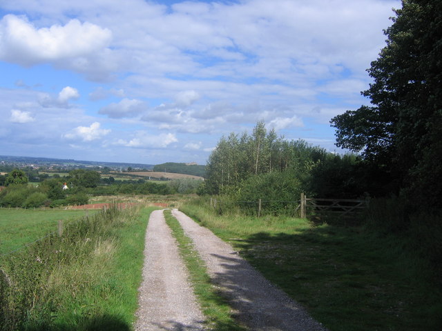
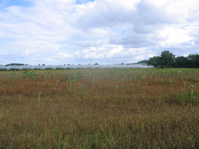
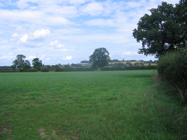
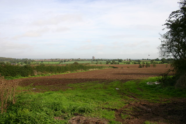
Billington is characterized by its picturesque rural setting, with rolling fields and farmland surrounding the village. The area is known for its agricultural activities, with farming playing a significant role in the local economy.
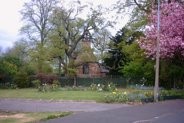
The village itself is primarily residential, consisting of a mix of traditional cottages and more modern houses. There are limited amenities in Billington, with a small number of shops and services available to cater to the basic needs of the community.
One notable feature of the village is the Church of St. Bartholomew, a Grade II listed building that dates back to the 12th century. The church serves as a focal point for the local community and is known for its historic architecture and beautiful stained glass windows.
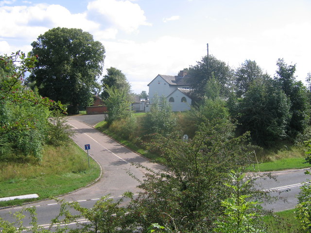
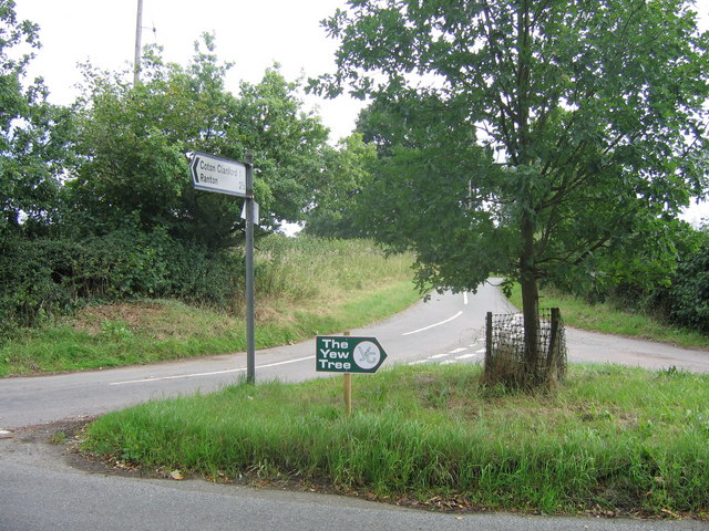
In terms of transportation, Billington is connected to nearby towns and cities via a network of roads, with the A449 running through the village. The closest railway station is in Penkridge, providing access to regional and national train services.
Overall, Billington is a tranquil and close-knit village that offers a peaceful countryside lifestyle, while still being within reach of the amenities and services of larger nearby towns.
If you have any feedback on the listing, please let us know in the comments section below.
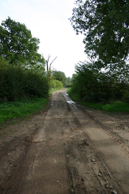
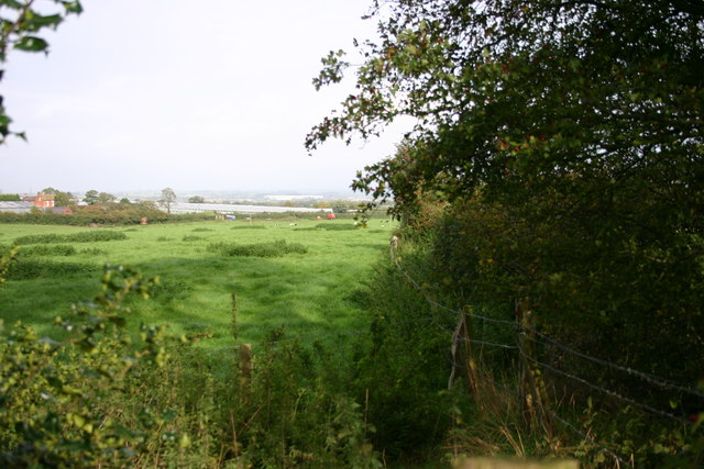
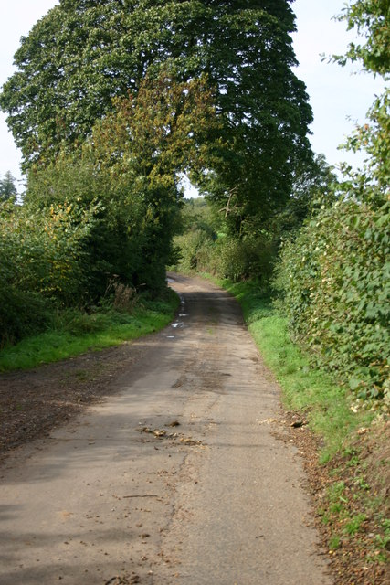
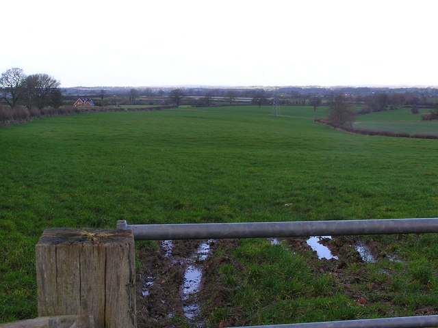
Billington Images
Images are sourced within 2km of 52.785083/-2.168997 or Grid Reference SJ8820. Thanks to Geograph Open Source API. All images are credited.


Billington is located at Grid Ref: SJ8820 (Lat: 52.785083, Lng: -2.168997)
Administrative County: Staffordshire
District: Stafford
Police Authority: Staffordshire
What 3 Words
///breeding.magnitude.pleaser. Near Stafford, Staffordshire
Nearby Locations
Related Wikis

Berry Ring
Berry Ring (also known as Bury Ring) is an Iron Age hillfort in Staffordshire, England, lying some two miles southwest of the county town of Stafford,...

Derrington
Derrington is a village west of the town of Stafford, in Staffordshire, England. For population details from the 2011 Census see under Seighford. Derrington...

Stafford Rural District
Stafford Rural District was a rural district in the county of Staffordshire. It was created in 1894 and abolished in 1974 by virtue of the Local Government...

Aston, Stafford
Aston is a hamlet in the county of Staffordshire, England. Aston was recorded in the Domesday Book as Estone. == References ==

Stafford Castle
Stafford Castle is an ancient Grade II listed castle situated two miles west of the town of Stafford in Staffordshire, England. From the time of the Norman...
Brazenhill
Brazenhill is rural area immediately north of the village of Haughton in Staffordshire, England. It is effectively defined by Brazenhill Lane which is...
Haughton, Staffordshire
Haughton is a village in Staffordshire, England, approximately 4 miles outside and to the west of the county town of Stafford. It lies on the A518 between...

Haughton railway station
Haughton railway station was a station in Haughton, Staffordshire, England. The station was opened on 1 June 1849 and closed in May 1949. == References... ==
Nearby Amenities
Located within 500m of 52.785083,-2.168997Have you been to Billington?
Leave your review of Billington below (or comments, questions and feedback).