Billington
Settlement in Bedfordshire
England
Billington
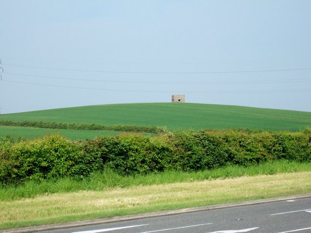
Billington is a small village located in the county of Bedfordshire, England. Situated about 4 miles south-west of Leighton Buzzard, it falls within the Central Bedfordshire district. The village is nestled on the edge of the Chiltern Hills, enjoying picturesque views of the surrounding countryside.
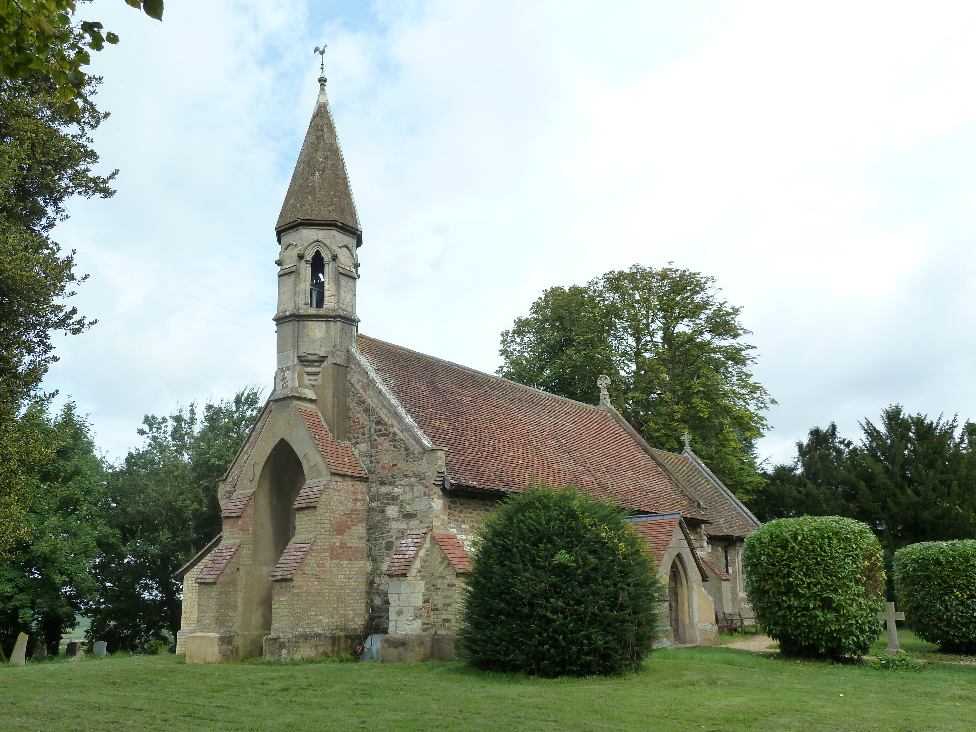
With a population of around 1,500 residents, Billington is a close-knit community with a strong sense of local identity. The village boasts a charming mix of traditional and modern architecture, with a range of houses and cottages scattered throughout its streets. The centerpiece of Billington is St. Michael and All Angels Church, a beautiful historic building dating back to the 12th century.
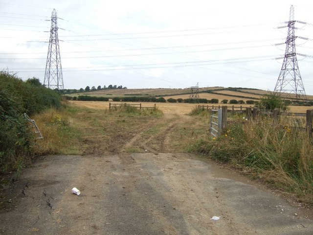
Billington benefits from its idyllic countryside location, making it a popular choice for outdoor enthusiasts. The village is surrounded by rolling hills and expansive fields, offering ample opportunities for walking, cycling, and exploring nature. The nearby Rushmere Country Park and Dunstable Downs are also within easy reach, providing additional recreational spaces for residents and visitors.
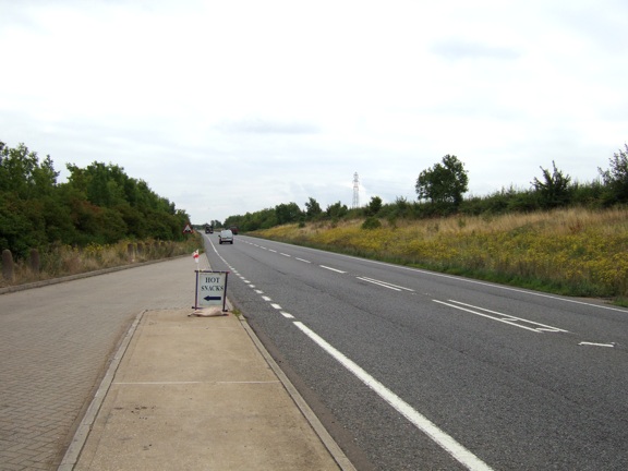
Despite its rural setting, Billington is conveniently located near major transport links. The A5 road runs just to the west of the village, connecting it to nearby towns and cities such as Leighton Buzzard and Milton Keynes. The village also benefits from good public transport connections, with regular bus services linking it to surrounding areas.
In terms of amenities, Billington has a primary school, a village hall, and a local pub, which serves as a social hub for residents. For shopping and more extensive amenities, the larger towns of Leighton Buzzard and Dunstable are easily accessible.
Overall, Billington offers a peaceful and picturesque place to live, combining the tranquility of rural living with easy access to nearby urban centers.
If you have any feedback on the listing, please let us know in the comments section below.
Billington Images
Images are sourced within 2km of 51.895295/-0.631701 or Grid Reference SP9422. Thanks to Geograph Open Source API. All images are credited.


Billington is located at Grid Ref: SP9422 (Lat: 51.895295, Lng: -0.631701)
Unitary Authority: Central Bedfordshire
Police Authority: Bedfordshire
What 3 Words
///forgot.views.joined. Near Stanbridge, Bedfordshire
Nearby Locations
Related Wikis
Billington, Bedfordshire
Billington is a civil parish in Bedfordshire about 3 miles (4.8 km) south of Leighton Buzzard and not far from the Buckinghamshire border. There are two...
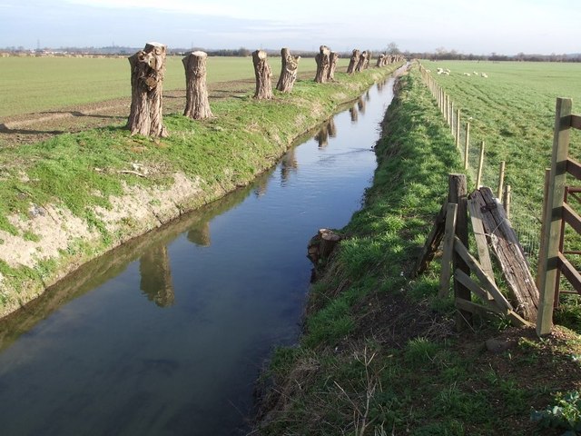
River Ouzel
The River Ouzel , also known as the River Lovat, is a river in England, and a tributary of the River Great Ouse. It rises in the Chiltern Hills and flows...

RAF Stanbridge
RAF Stanbridge (originally RAF Leighton Buzzard) was a non-flying RAF station situated on the outskirts of Leighton Buzzard, Bedfordshire, England and...

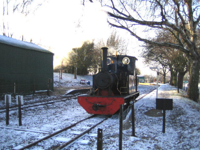
Page's Park railway station
Page's Park railway station is a railway station serving the southern area of Leighton Buzzard. Page's Park is the terminus of the heritage Leighton Buzzard...
Nearby Amenities
Located within 500m of 51.895295,-0.631701Have you been to Billington?
Leave your review of Billington below (or comments, questions and feedback).