Billins

Settlement in Flintshire

Wales

Billins

Disused Quarry Building, Pant y Pydew
Disused Quarry Building, Pant y Pydew Credit: Chris Andrews

The requested URL returned error: 429 Too Many Requests

If you have any feedback on the listing, please let us know in the comments section below.
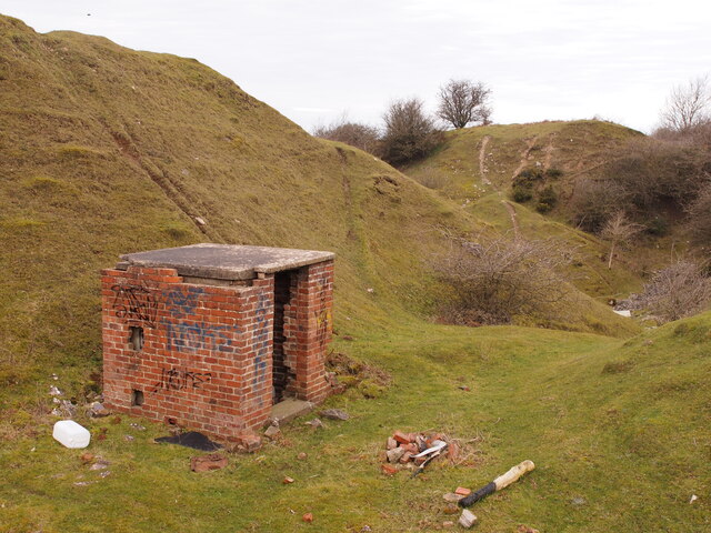
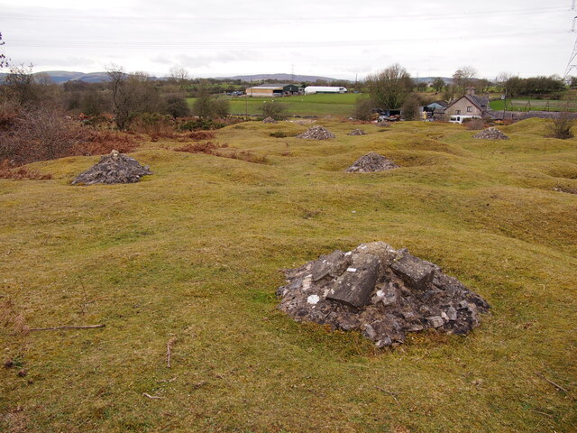
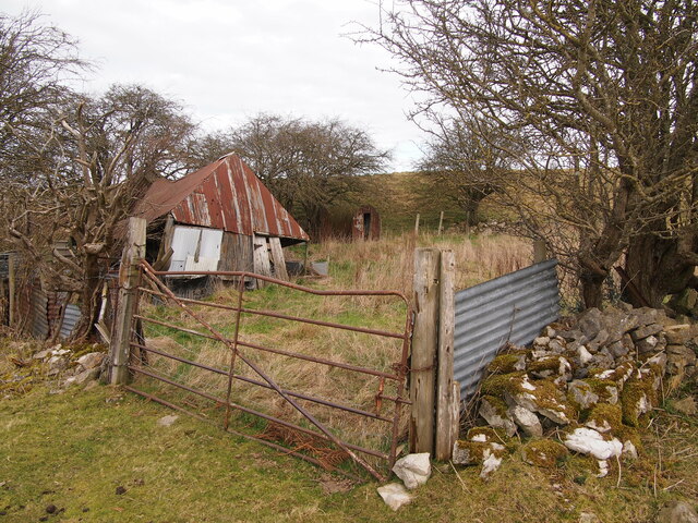
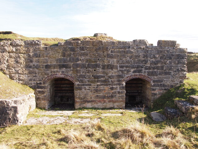
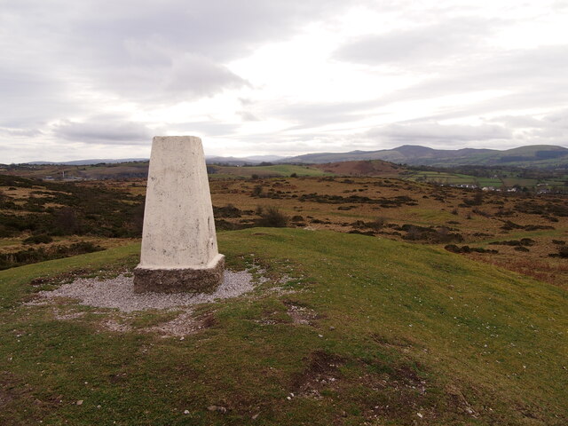
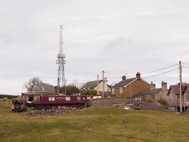
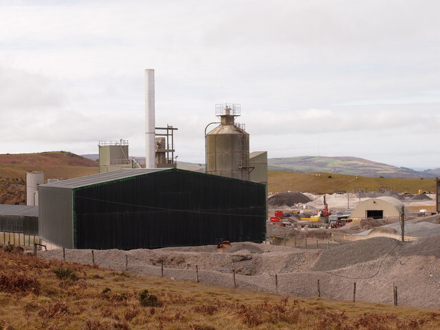
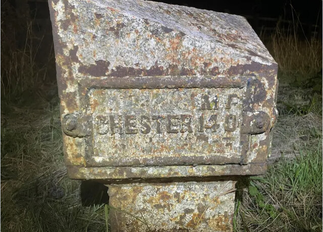
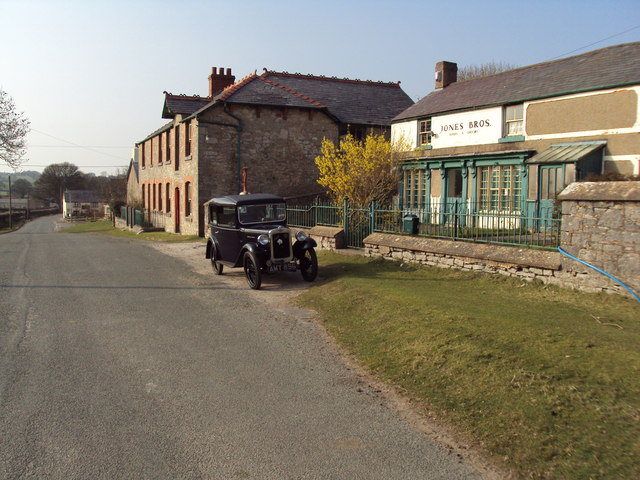
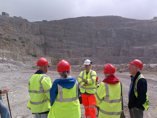
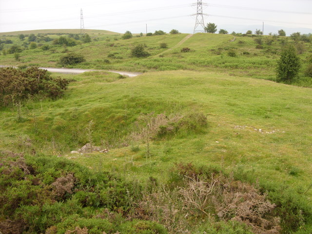
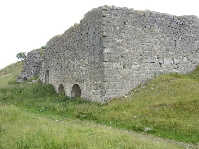
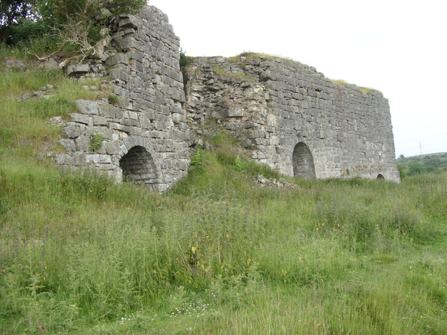
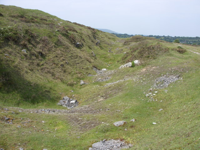
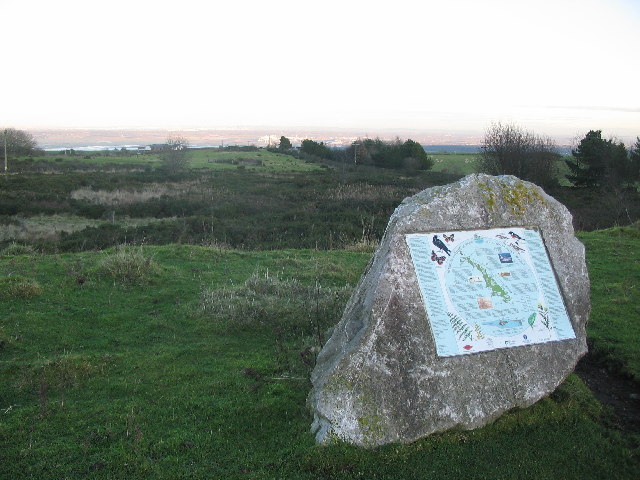
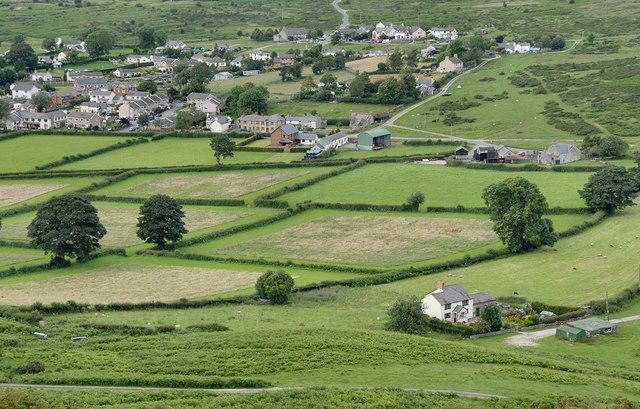
Billins Images

Images are sourced within 2km of 53.238621/-3.207657 or Grid Reference SJ1971. Thanks to Geograph Open Source API. All images are credited.

Disused Quarry Building, Pant y Pydew
Bryn Mawr Quarry
Bryn Mawr Quarry
Capped Shafts Near Waen-brodlas
Neglected Enclosure, Below Halkyn Mountain
Rhes-y-Cae Lime Kilns
Trig Point, Halkyn Mountain
Windmill, Halkyn Mountain
The Disused Pen yr Henblas Quarry
Pant Quarry, Halkyn
Pant Quarry, Halkyn
Old Milepost by the A55, Halkyn Milepost by the A55, in parish of Halkyn (Flintshire District), Halkyn, on grass verge on Northeast side of the A55, below Pen Lan Lane overbridge to Plas Isaf.

Inscription reads:-
M F / CHESTER 14 0 :: COUNTY / OF / FLINT / 1892 :: M F / HOLYWELL 3 2

Grade II listed by Cadw.
Reference Number: 26212 <span class="nowrap"><a title="https://cadwpublic-api.azurewebsites.net/reports/listedbuilding/FullReport?lang=&id=26212" rel="nofollow ugc noopener" href="https://cadwpublic-api.azurewebsites.net/reports/listedbuilding/FullReport?lang=&id=26212">Link</a><img style="margin-left:2px;" alt="External link" title="External link - shift click to open in new window" src="https://s1.geograph.org.uk/img/external.png" width="10" height="10"/></span>

Surveyed

Milestone Society National ID: FLT_CHHO14
Old Milepost by the A55, Halkyn
Milepost by the A55, in parish of Halkyn (Flintshire District), Halkyn, on grass verge on Northeast side of the A55, below Pen Lan Lane overbridge to Plas Isaf. Inscription reads:- M F / CHESTER 14 0 :: COUNTY / OF / FLINT / 1892 :: M F / HOLYWELL 3 2 Grade II listed by Cadw. Reference Number: 26212 LinkExternal link Surveyed Milestone Society National ID: FLT_CHHO14
Rhes y Cae, Flintshire Looking down the main road in Rhes y Cae towards The Miners Arms.
Rhes y Cae, Flintshire
Looking down the main road in Rhes y Cae towards The Miners Arms.
A55 eastbound near Milwr
Pant Quarry, Halkyn The last quarry visit in the Pant Quarry.  There is a nice view of the limestone strata in the background.
Pant Quarry, Halkyn
The last quarry visit in the Pant Quarry. There is a nice view of the limestone strata in the background.
Pant Quarry, Halkyn Down into the hole!  Taken during the last quarry visit planned at the Pant
Pant Quarry, Halkyn
Down into the hole! Taken during the last quarry visit planned at the Pant
Lead Mine shaft The hollow in the foreground is a run-in Lead Mine shaft. The flat grassed area behind it on the mound has a circular form indicating that there was a Horse Gin here, a horse-powered capstan for winding in the shaft. Although the wooden structure has long since gone the circular track the horse walked around is still visible. These show up well on aerial photographs.
Lead Mine shaft
The hollow in the foreground is a run-in Lead Mine shaft. The flat grassed area behind it on the mound has a circular form indicating that there was a Horse Gin here, a horse-powered capstan for winding in the shaft. Although the wooden structure has long since gone the circular track the horse walked around is still visible. These show up well on aerial photographs.
Limekilns at Pant y Pydew A massively built structure.
Limekilns at Pant y Pydew
A massively built structure.
Limekilns at Pant y Pydew
19th century opencast lead workings These form a long and continuous trench where lead was extracted at surface
19th century opencast lead workings
These form a long and continuous trench where lead was extracted at surface
Show me another place!

Billins is located at Grid Ref: SJ1971 (Lat: 53.238621, Lng: -3.207657)

Unitary Authority: Flintshire

Police Authority: North Wales

What 3 Words

///inherit.parsnips.scouted. Near Halkyn, Flintshire

Nearby Locations

Billins

Related Wikis

Pentre Halkyn

Pentre Halkyn (Welsh: Pentre Helygain) is a small village in Flintshire, Wales. It is situated approximately two miles from Holywell, and is off Junction...

Halkyn Common and Holywell Grasslands

Halkyn Common and Holywell Grasslands (Welsh: Comin Helygain a Glaswelltiroedd Treffynnon) is a Site of Special Scientific Interest in Flintshire, north...

Rhes-y-cae

Rhes-y-cae is a small parish and village in Flintshire, Wales. Literally translated from Welsh, Rhes-y-cae is 'Row of fields'. It is situated between...

Church of St Mary the Virgin, Halkyn

The Church of St Mary the Virgin, Halkyn is to the north of the village of Halkyn, Flintshire, Wales. It is an active Anglican parish church in the diocese...

Nearby Amenities

Located within 500m of 53.238621,-3.207657
Halkyn Mountain
Ele: 291
Natural: peak
Wikidata: Q13130311
Lat/Long: 53.2381808/-3.2065368
Power: tower
Lat/Long: 53.2391323/-3.2063157
Post Box
Fixme: location approximate
Operator: Royal Mail
Post Box Type: lamp
Source: survey
Lat/Long: 53.2409013/-3.2052831
Barrier: cattle_grid
Source: survey
Lat/Long: 53.2406367/-3.2038047
Fixme: continues
Lat/Long: 53.2403398/-3.2044298
Man Made: adit
Lat/Long: 53.2367617/-3.2027894
Man Made: adit
Lat/Long: 53.2367364/-3.2023061
Man Made: adit
Lat/Long: 53.2366186/-3.2018353
Historic: mine_shaft
Lat/Long: 53.2353354/-3.2031484
Historic: mine_shaft
Lat/Long: 53.2352036/-3.2039504
Historic: mine_shaft
Lat/Long: 53.2350875/-3.2040523
Historic: mine_shaft
Lat/Long: 53.2349931/-3.2051008
Historic: mine_shaft
Lat/Long: 53.2348396/-3.2048938
Historic: mine_shaft
Lat/Long: 53.2355334/-3.206892
Historic: mine_shaft
Lat/Long: 53.2378046/-3.2082906
Historic: mine_shaft
Lat/Long: 53.2381105/-3.208874
Historic: mine_shaft
Lat/Long: 53.2380191/-3.2087935
Historic: mine_shaft
Lat/Long: 53.238025/-3.2086636
Historic: mine_shaft
Lat/Long: 53.2382807/-3.2087211
Historic: mine_shaft
Lat/Long: 53.2367905/-3.2098058
Historic: mine_shaft
Lat/Long: 53.236825/-3.2091714
Historic: mine_shaft
Lat/Long: 53.2398358/-3.2097335
Historic: mine_shaft
Lat/Long: 53.2392476/-3.209487
Historic: mine_shaft
Lat/Long: 53.2391512/-3.2093325
Historic: mine_shaft
Lat/Long: 53.2392968/-3.2075937
Historic: mine_shaft
Lat/Long: 53.2393597/-3.2074064
Historic: mine_shaft
Lat/Long: 53.2393735/-3.2030183
Historic: mine_shaft
Lat/Long: 53.2394384/-3.2030281
Historic: mine_shaft
Lat/Long: 53.2394286/-3.2028835
Historic: mine_shaft
Lat/Long: 53.2394876/-3.2026863
Historic: mine_shaft
Lat/Long: 53.2395505/-3.2023707
Historic: mine_shaft
Lat/Long: 53.2396017/-3.2021505
Historic: mine_shaft
Lat/Long: 53.2396902/-3.2018514
Historic: mine_shaft
Lat/Long: 53.2397512/-3.2021505
Historic: mine_shaft
Lat/Long: 53.2402823/-3.2021834
Historic: mine_shaft
Lat/Long: 53.2403984/-3.2020749
Historic: mine_shaft
Lat/Long: 53.2406915/-3.2030479
Historic: mine_shaft
Lat/Long: 53.2406797/-3.2025055
Historic: yes
Lat/Long: 53.2407249/-3.2018744
Historic: yes
Lat/Long: 53.2398908/-3.2012072
Historic: mine_shaft
Lat/Long: 53.2391827/-3.2052896
Historic: mine_shaft
Lat/Long: 53.2390174/-3.2051975
Historic: mine_shaft
Lat/Long: 53.2390725/-3.2052961
Historic: mine_shaft
Lat/Long: 53.2401357/-3.2007405
Historic: mine_shaft
Lat/Long: 53.2399629/-3.2004875
Historic: mine_shaft
Lat/Long: 53.2401877/-3.2009557
Sir George's Field Lead Mine
Place: locality
Lat/Long: 53.2398344/-3.2024725
Historic: mine_shaft
Lat/Long: 53.2367191/-3.2084089
Historic: mine_shaft
Lat/Long: 53.2365686/-3.2082527
Historic: mine_shaft
Lat/Long: 53.2368165/-3.2088608
Historic: mine_shaft
Lat/Long: 53.2382975/-3.2049791
Historic: mine_shaft
Lat/Long: 53.2369038/-3.2059526
Historic: mine_shaft
Lat/Long: 53.2368583/-3.2058912
Historic: mine_shaft
Lat/Long: 53.2404269/-3.2041417
Historic: mine_shaft
Lat/Long: 53.2405162/-3.2008437
Direction: SSE
Generator Method: photovoltaic
Generator Output Electricity: yes
Generator Solar Modules: 12
Generator Source: solar
Generator Type: solar_photovoltaic_panel
Location: roof
Power: generator
Lat/Long: 53.2417635/-3.2028392
Direction: 235
Generator Method: photovoltaic
Generator Output Electricity: yes
Generator Solar Modules: 14
Generator Source: solar
Generator Type: solar_photovoltaic_panel
Location: roof
Power: generator
Lat/Long: 53.2430416/-3.2066225
Historic: mine_shaft
Lat/Long: 53.2350117/-3.2055905
Historic: mine_shaft
Lat/Long: 53.2349852/-3.2060241
Historic: mine_shaft
Lat/Long: 53.2349227/-3.2064513
Historic: mine_shaft
Lat/Long: 53.2349094/-3.2067044
Historic: mine_shaft
Lat/Long: 53.2349018/-3.2070874
Historic: mine_shaft
Lat/Long: 53.2347814/-3.2081304
Historic: mine_shaft
Lat/Long: 53.2347492/-3.2082475
Historic: mine_shaft
Lat/Long: 53.2345286/-3.2098546
Historic: mine_shaft
Lat/Long: 53.234576/-3.2096141
Historic: mine_shaft
Lat/Long: 53.2346016/-3.2093593
Historic: mine_shaft
Lat/Long: 53.2346215/-3.2092059
Historic: mine_shaft
Lat/Long: 53.234862/-3.2096236
Historic: mine_shaft
Lat/Long: 53.2348961/-3.2094875
Historic: mine_shaft
Lat/Long: 53.2349056/-3.2093483
Historic: mine_shaft
Lat/Long: 53.2349283/-3.20919
Historic: mine_shaft
Lat/Long: 53.2349953/-3.2089479
Historic: mine_shaft
Lat/Long: 53.2349984/-3.2086552
Historic: mine_shaft
Lat/Long: 53.2351024/-3.2081904
Historic: mine_shaft
Lat/Long: 53.2351495/-3.2083213
Historic: mine_shaft
Lat/Long: 53.2352771/-3.2080987
Historic: mine_shaft
Lat/Long: 53.2352808/-3.20858
Historic: mine_shaft
Lat/Long: 53.2350971/-3.2087829
Historic: mine_shaft
Lat/Long: 53.2351874/-3.2090403
Historic: mine_shaft
Lat/Long: 53.2351288/-3.2092349
Historic: mine_shaft
Lat/Long: 53.2351102/-3.2094608
Historic: mine_shaft
Lat/Long: 53.2350904/-3.2095602
Historic: mine_shaft
Lat/Long: 53.2348337/-3.2098428
Historic: mine_shaft
Lat/Long: 53.2348163/-3.2099228
Historic: mine_shaft
Lat/Long: 53.2348089/-3.2099987
Historic: mine_shaft
Lat/Long: 53.2347874/-3.2100953
Historic: mine_shaft
Lat/Long: 53.2347742/-3.2102154
Historic: mine_shaft
Lat/Long: 53.234754/-3.2103266
Historic: mine_shaft
Lat/Long: 53.2347243/-3.2104577
Historic: mine_shaft
Lat/Long: 53.2347234/-3.2105129
Historic: mine_shaft
Lat/Long: 53.2347259/-3.2105626
Historic: mine_shaft
Lat/Long: 53.2347086/-3.2106496
Historic: mine_shaft
Lat/Long: 53.2347011/-3.2107089
Historic: mine_shaft
Lat/Long: 53.2346744/-3.2109089
Historic: mine_shaft
Lat/Long: 53.2346397/-3.2110359
Historic: mine_shaft
Lat/Long: 53.2346719/-3.2110055
Historic: mine_shaft
Lat/Long: 53.2347107/-3.2110083
Historic: mine_shaft
Lat/Long: 53.2347462/-3.2109158
Historic: mine_shaft
Lat/Long: 53.2346911/-3.2112367
Historic: mine_shaft
Lat/Long: 53.2344829/-3.2103909
Historic: mine_shaft
Lat/Long: 53.2345109/-3.2102858
Historic: mine_shaft
Lat/Long: 53.234521/-3.2101599
Historic: mine_shaft
Lat/Long: 53.2345333/-3.2099614
Historic: mine_shaft
Lat/Long: 53.2348221/-3.2097871
Historic: mine_shaft
Lat/Long: 53.2347787/-3.2097027
Historic: mine_shaft
Lat/Long: 53.2347548/-3.2096714
Historic: mine_shaft
Lat/Long: 53.2347282/-3.2096378
Historic: mine_shaft
Lat/Long: 53.2346933/-3.2095859
Historic: mine_shaft
Lat/Long: 53.2346655/-3.209561
Historic: mine_shaft
Lat/Long: 53.2346346/-3.2095313
Historic: mine_shaft
Lat/Long: 53.23459/-3.2094994
Historic: mine_shaft
Lat/Long: 53.234654/-3.2093972
Historic: mine_shaft
Lat/Long: 53.2346087/-3.2092815
Historic: mine_shaft
Lat/Long: 53.2347019/-3.2098882
Historic: mine_shaft
Lat/Long: 53.2345215/-3.2094486
Historic: mine_shaft
Lat/Long: 53.2346371/-3.2090623
Historic: mine_shaft
Lat/Long: 53.2346824/-3.2088298
Historic: mine_shaft
Lat/Long: 53.2346888/-3.2087746
Historic: mine_shaft
Lat/Long: 53.2346927/-3.2086392
Historic: mine_shaft
Lat/Long: 53.2347141/-3.208544
Historic: mine_shaft
Lat/Long: 53.2347309/-3.2084175
Historic: mine_shaft
Lat/Long: 53.2346642/-3.2088976
Historic: mine_shaft
Lat/Long: 53.2348261/-3.207848
Historic: mine_shaft
Lat/Long: 53.2348181/-3.2077396
Historic: mine_shaft
Lat/Long: 53.2351057/-3.2045745
Power: pole
Lat/Long: 53.2410361/-3.2061479
Power: pole
Lat/Long: 53.2413523/-3.2070728
Power: pole
Lat/Long: 53.2416984/-3.2080556
Man Made: mineshaft
Lat/Long: 53.2403332/-3.2082693
Man Made: mineshaft
Lat/Long: 53.2354628/-3.211492
Man Made: mineshaft
Lat/Long: 53.2367278/-3.2103506
Parry's Lead Mine
Place: locality
Lat/Long: 53.2418184/-3.2069589
Historic: mine_shaft
Lat/Long: 53.2407506/-3.2031282
Historic: mine_shaft
Lat/Long: 53.2405728/-3.2032387
Historic: mine_shaft
Lat/Long: 53.2406922/-3.2032923
Historic: mine_shaft
Lat/Long: 53.2407904/-3.2030342
Power: pole
Lat/Long: 53.2401911/-3.2044436
Power: pole
Lat/Long: 53.2405372/-3.20513
Power: pole
Lat/Long: 53.2394577/-3.2034987
Power: pole
Lat/Long: 53.2387782/-3.2026339
Power: pole
Lat/Long: 53.2378339/-3.201418
Power: pole
Lat/Long: 53.2383912/-3.2021355
Direction: SSE
Generator Method: photovoltaic
Generator Output Electricity: yes
Generator Solar Modules: 4
Generator Source: solar
Generator Type: solar_photovoltaic_panel
Location: roof
Power: generator
Lat/Long: 53.2413916/-3.2051291
Direction: SSE
Generator Method: photovoltaic
Generator Output Electricity: yes
Generator Solar Modules: 6
Generator Source: solar
Generator Type: solar_photovoltaic_panel
Location: roof
Power: generator
Lat/Long: 53.2413658/-3.2052331
Direction: SSE
Generator Method: photovoltaic
Generator Output Electricity: yes
Generator Solar Modules: 6
Generator Source: solar
Generator Type: solar_photovoltaic_panel
Location: roof
Power: generator
Lat/Long: 53.241763/-3.2027688
The data included in this document is from www.openstreetmap.org. The data is made available under ODbL.

Have you been to Billins?

Leave your review of Billins below (or comments, questions and feedback).