Silver Hill

Hill, Mountain in Yorkshire Richmondshire

England

Silver Hill

East Gill from south of Long Gill The rather indistinct and intermittent quad bike tracks that form the only guide to the easiest route on the east bank of East Gill have just made a rather precarious and boggy crossing of Long Gill and ascended back onto firm ground. This pile of stones (it hardly qualifies as a cairn) commands a view over East Gill as it cuts down on its way to join the River Swale down a series of waterfalls into the Keld Gorge.
East Gill from south of Long Gill Credit: Andy Waddington

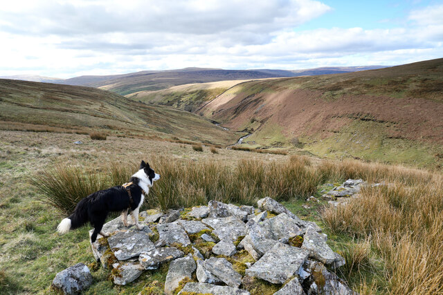
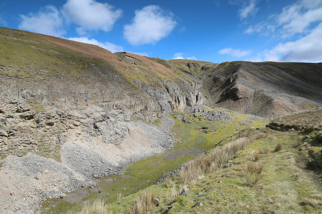
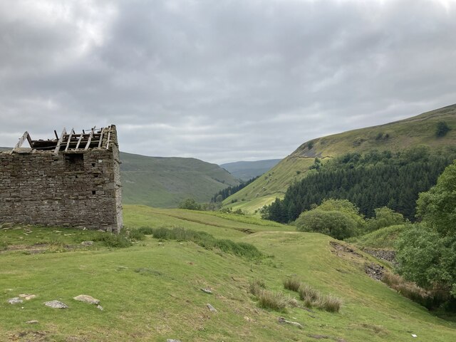
Silver Hill is a prominent natural landmark located in the county of Yorkshire, England. Situated in the picturesque countryside, the hill is renowned for its breathtaking views and diverse geographical features. Rising to an elevation of approximately 500 meters above sea level, it is considered one of the highest points in the region.

The hill is characterized by its distinctive silver-gray appearance, owing to the presence of exposed limestone rocks on its slopes. These rocks contribute to the unique charm of the landscape, creating a shimmering effect when reflecting sunlight. The summit of Silver Hill offers panoramic vistas of the surrounding countryside, providing visitors with a stunning backdrop of rolling hills, lush green valleys, and sparkling rivers.

The area surrounding Silver Hill is rich in biodiversity, hosting a variety of plant and animal species. The hill supports a diverse range of flora, including heather, mosses, and wildflowers, creating a vibrant tapestry of colors during the blooming seasons. As for wildlife, it is not uncommon to spot birds of prey soaring above, such as kestrels and buzzards.

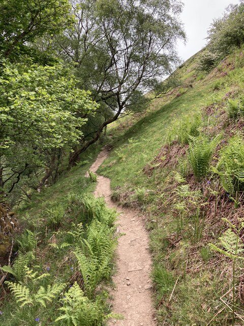
Silver Hill attracts outdoor enthusiasts and nature lovers from far and wide, offering numerous walking trails and hiking routes that cater to all levels of experience. The hill serves as an ideal destination for those seeking tranquility, adventure, or simply a respite from the hustle and bustle of city life.

In conclusion, Silver Hill in Yorkshire stands as a remarkable natural wonder, with its shimmering limestone rocks, breathtaking views, and abundant wildlife. It is a cherished gem of the region, inviting visitors to immerse themselves in the beauty and serenity of the Yorkshire countryside.

If you have any feedback on the listing, please let us know in the comments section below.
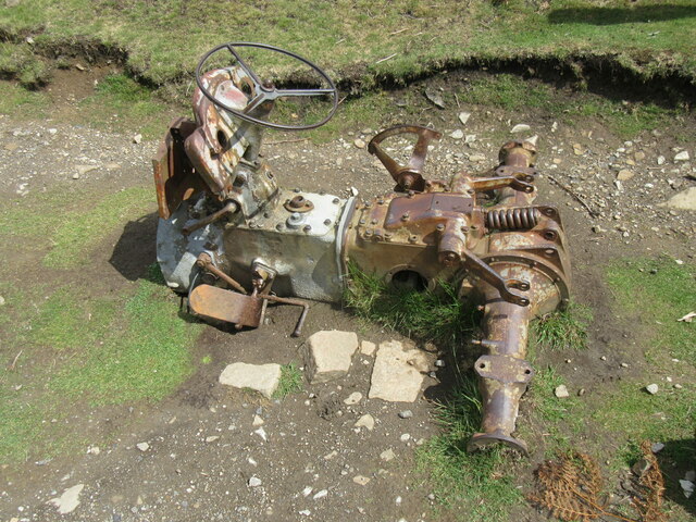
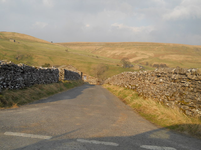
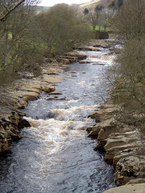
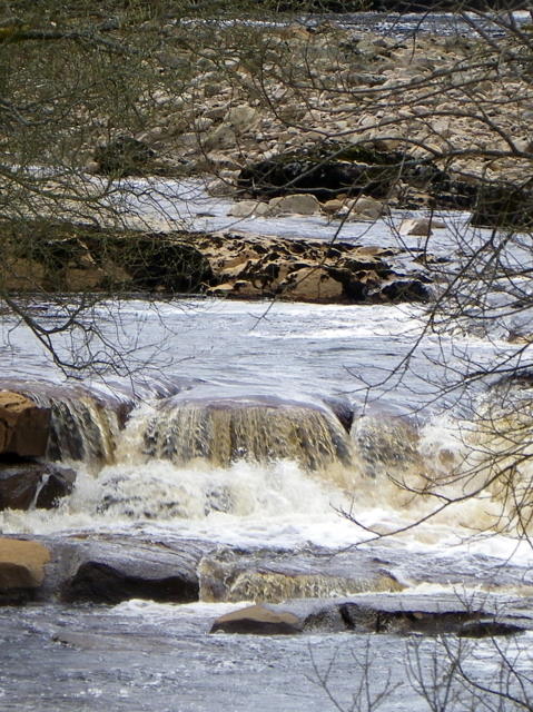
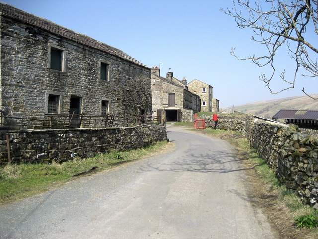
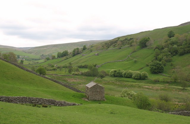
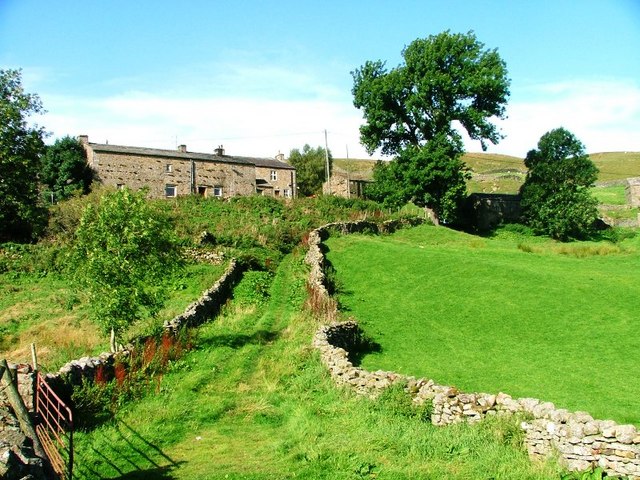
Silver Hill Images

Images are sourced within 2km of 54.409367/-2.1754338 or Grid Reference NY8801. Thanks to Geograph Open Source API. All images are credited.

East Gill from south of Long Gill The rather indistinct and intermittent quad bike tracks that form the only guide to the easiest route on the east bank of East Gill have just made a rather precarious and boggy crossing of Long Gill and ascended back onto firm ground. This pile of stones (it hardly qualifies as a cairn) commands a view over East Gill as it cuts down on its way to join the River Swale down a series of waterfalls into the Keld Gorge.
East Gill from south of Long Gill
The rather indistinct and intermittent quad bike tracks that form the only guide to the easiest route on the east bank of East Gill have just made a rather precarious and boggy crossing of Long Gill and ascended back onto firm ground. This pile of stones (it hardly qualifies as a cairn) commands a view over East Gill as it cuts down on its way to join the River Swale down a series of waterfalls into the Keld Gorge.
Lead mining scars at Beldi Hill Remarkably invisible from the popular public bridleway along the Swale left bank in Keld Gorge just a quarter kilometre to the south, the Beldi Hill workings have left a huge scar. A large chunk has been washed out of Hall Edge by hushing (a crude but effective form of hydraulic mining) over a long period, with the ore being transported to facilities downhill and to the east for smelting into lead.
Lead mining scars at Beldi Hill
Remarkably invisible from the popular public bridleway along the Swale left bank in Keld Gorge just a quarter kilometre to the south, the Beldi Hill workings have left a huge scar. A large chunk has been washed out of Hall Edge by hushing (a crude but effective form of hydraulic mining) over a long period, with the ore being transported to facilities downhill and to the east for smelting into lead.
The Pennine Way above Rukin Wood
Ruined barn above West Wood
Remains of tractor The rusting remains of a tractor.
Remains of tractor
The rusting remains of a tractor.
Road to Keld village
Barns and walls, West Stonesdale The beautiful stone built barns so typical of the dales.
Barns and walls, West Stonesdale
The beautiful stone built barns so typical of the dales.
Wriggly track near Keld The track wriggles its way down the hill and up the other side.
Wriggly track near Keld
The track wriggles its way down the hill and up the other side.
Track, Stonesdale The track acts as a bridleway which takes riders and walkers to join the Pennine Way.
Track, Stonesdale
The track acts as a bridleway which takes riders and walkers to join the Pennine Way.
Fields and barns in Stonesdale The fields are bound with drystone walls.

Drystone walls are built without mortar, and their stability – they can stand for 200 years – is due to the skill of the craftsmen who place rough boulders and angular stones together.

Many drystone walls were constructed as part of the enclosure of open grazing. They were especially useful in areas too exposed for hedgerows to survive and where stones were readily available.

Most drystone walls are wider at the base than at the crown, and are often capped with coping stones. A typical wall has two outer layers of large, flattish stones enclosing an inner ‘heart’ of smaller, rounder stones. Often it is reinforced with ‘through bands’ of even larger, flat stones which can also be used as stiles.

The very dryness of a wall makes it more likely to endure wind and frost and to act as shelter for livestock as well as a boundary.
Fields and barns in Stonesdale
The fields are bound with drystone walls. Drystone walls are built without mortar, and their stability – they can stand for 200 years – is due to the skill of the craftsmen who place rough boulders and angular stones together. Many drystone walls were constructed as part of the enclosure of open grazing. They were especially useful in areas too exposed for hedgerows to survive and where stones were readily available. Most drystone walls are wider at the base than at the crown, and are often capped with coping stones. A typical wall has two outer layers of large, flattish stones enclosing an inner ‘heart’ of smaller, rounder stones. Often it is reinforced with ‘through bands’ of even larger, flat stones which can also be used as stiles. The very dryness of a wall makes it more likely to endure wind and frost and to act as shelter for livestock as well as a boundary.
River Swale from Park Bridge The River Swale is the northernmost tributary of the Yorkshire Ouse with its headwaters located in the eastern Yorkshire Dales, from where it flows in an easterly direction towards Richmond.
River Swale from Park Bridge
The River Swale is the northernmost tributary of the Yorkshire Ouse with its headwaters located in the eastern Yorkshire Dales, from where it flows in an easterly direction towards Richmond.
River Swale from Park Bridge The name Swale in Old English means 'swilling and fast flowing'. It certainly is when viewed from Park Bridge.
River Swale from Park Bridge
The name Swale in Old English means 'swilling and fast flowing'. It certainly is when viewed from Park Bridge.
Methodist Chapel, Keld The chapel dates from 1841 and is a sad sight now that it is boarded up.
Methodist Chapel, Keld
The chapel dates from 1841 and is a sad sight now that it is boarded up.
Date stone, Keld Methodist Chapel For a wider view of the chapel <a href="https://www.geograph.org.uk/photo/2403594">NY8900 : Methodist Chapel, Keld</a>
Date stone, Keld Methodist Chapel
For a wider view of the chapel NY8900 : Methodist Chapel, Keld
Village scene, Keld A K6 telephone box stands beside the narrow road that passes the main part of the village.

In 1935, the Post Office commissioned a new kiosk from Sir Giles Gilbert Scott to celebrate the Jubilee of King George V.  The K6 Jubilee Kiosk, as it is known, was similar to the K2 box, being made of cast iron and painted red but was 25% lighter in weight.  By the end of the 1930s there were 20,000 K6 telephone boxes in use all over the UK.
Village scene, Keld
A K6 telephone box stands beside the narrow road that passes the main part of the village. In 1935, the Post Office commissioned a new kiosk from Sir Giles Gilbert Scott to celebrate the Jubilee of King George V. The K6 Jubilee Kiosk, as it is known, was similar to the K2 box, being made of cast iron and painted red but was 25% lighter in weight. By the end of the 1930s there were 20,000 K6 telephone boxes in use all over the UK.
Village scene, Keld The former institute stands on the right and former manse, which is now the United Reformed Church stands at the bottom of the lane.
Village scene, Keld
The former institute stands on the right and former manse, which is now the United Reformed Church stands at the bottom of the lane.
United Reformed Church, Keld The building is the former manse and is dated 1860.
United Reformed Church, Keld
The building is the former manse and is dated 1860.
Date stone, Keld Chapel The date stone is on the United Reformed Church <a href="https://www.geograph.org.uk/photo/2403691">NY8901 : United Reformed Church, Keld</a>
Date stone, Keld Chapel
The date stone is on the United Reformed Church NY8901 : United Reformed Church, Keld
Show me another place!

Silver Hill is located at Grid Ref: NY8801 (Lat: 54.409367, Lng: -2.1754338)

Division: North Riding

Administrative County: North Yorkshire

District: Richmondshire

Police Authority: North Yorkshire

What 3 Words

///jolt.podcast.overused. Near Kirkby Stephen, Cumbria

Related Wikis

Wain Wath Force

Wain Wath Force is a waterfall on the River Swale in the Yorkshire Dales National Park, North Yorkshire, England. The falls are at grid reference NY883015...
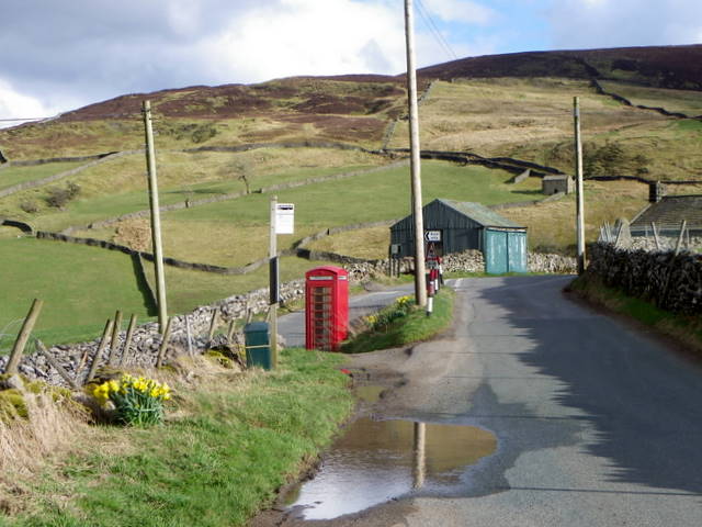
West Stonesdale

West Stonesdale is a hamlet in the Yorkshire Dales, North Yorkshire, England. The secluded village is near Keld to the south, Tan Hill to the north and...

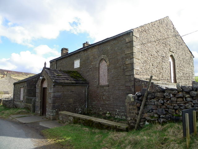
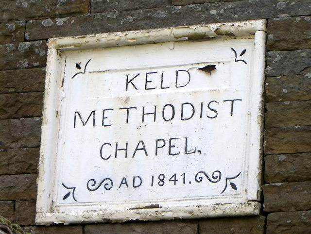
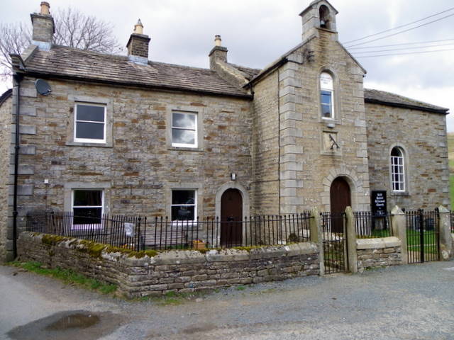
Keld, North Yorkshire

Keld is a village in the English county of North Yorkshire. It is in Swaledale, and the Yorkshire Dales National Park. The name derives from the Viking...

East Gill Force

East Gill Force is a waterfall in Swaledale, 330 yards (300 m) east of the hamlet of Keld, in the Yorkshire Dales National Park, North Yorkshire, England...

Catrake Force

Catrake Force is a waterfall on the River Swale in North Yorkshire, England. It is not visible from the road but is accessible via a campsite in Keld....

Kisdon Force

Kisdon Force is a series of waterfalls on the River Swale in Swaledale, England. The falls are situated within the Yorkshire Dales National Park in the...

Angram Bottoms

Angram Bottoms (grid reference SD891999) is a 9.8 hectares (24 acres) biological Site of Special Scientific Interest (SSSI) near to the village of Angram...

Angram, Richmondshire

Angram is a hamlet in the Yorkshire Dales in the Richmondshire district of North Yorkshire, England. It is situated near to Keld to the north and Thwaite...

Related Videos

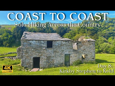
Coast to Coast: Solo Hiking Across the Country - Day 8 (4K)

Join me on Patreon! https://www.patreon.com/TinyPineOutdoors Day 8 of solo hiking the Coast to Coast, my mum dropped me off ...

Swaledale Burrow Holiday Pod Installation | Yorkshire Dales

A sped up video that shows the holiday pod being lifted and lowered into position in Upper Swaledale, North Yorkshire.

The Coast To Coast Walk - England - May 2017 - Day 8 - The Smug Sisters.

"The Smug Sisters" - Julie & Heather Dixon, continue their walk from Keld to Reeth, following Wainwright's Coast to Coast, on 12th ...

Nearby Amenities

Located within 500m of 54.409367,-2.1754338
Wain Wath Force
Height: 1.5
Waterway: waterfall
Wikidata: Q7960140
Wikipedia: en:Wain Wath Force
Lat/Long: 54.4093028/-2.1801328
Rainby Force
Waterway: waterfall
Lat/Long: 54.4088755/-2.1755067
Waterway: waterfall
Lat/Long: 54.4081112/-2.1728086
Access: yes
Barrier: entrance
Lat/Long: 54.4069346/-2.1726322
Information: guidepost
Tourism: information
Lat/Long: 54.4083297/-2.177215
Currack Force
Waterway: waterfall
Lat/Long: 54.4098687/-2.1744091
Hoggarth's Leap
Description: Wedding cake style ie tiered
Waterway: waterfall
Lat/Long: 54.4079742/-2.1723929
Waterway: waterfall
Lat/Long: 54.4082544/-2.1732582
Power: pole
Lat/Long: 54.407125/-2.1691614
Power: pole
Lat/Long: 54.4137818/-2.1740645
Power: pole
Lat/Long: 54.4132082/-2.1742657
Power: pole
Lat/Long: 54.4124808/-2.1745218
Power: pole
Lat/Long: 54.4117628/-2.174774
Power: pole
Lat/Long: 54.4110955/-2.1743301
Power: pole
Lat/Long: 54.4104477/-2.1739063
Power: pole
Lat/Long: 54.4098346/-2.1734912
Power: pole
Lat/Long: 54.4098136/-2.1734865
Power: pole
Lat/Long: 54.4093558/-2.1731915
Power: pole
Lat/Long: 54.4086689/-2.1727462
Power: pole
Lat/Long: 54.4082069/-2.1724331
Power: pole
Lat/Long: 54.4074521/-2.1719456
Power: pole
Lat/Long: 54.4063429/-2.1706702
Power: pole
Lat/Long: 54.4060213/-2.1709438
Power: pole
Lat/Long: 54.4062727/-2.1708861
The data included in this document is from www.openstreetmap.org. The data is made available under ODbL.

Have you been to Silver Hill?

Leave your review of Silver Hill below (or comments, questions and feedback).