Fair Hill

Hill, Mountain in Lancashire Burnley

England

Fair Hill

Old Boundary Marker west of Burnley Road Municipal Boundary Marker set in a drystone wall beside the disused tramway of Deerplay Colliery, 75 metres west of the B671 Burnley Road. On the boundary of Cliviger parish and the former Newchurch parish. One of a series marking the boundary of Bacup Borough. Inscribed 31 / B B.

Milestone Society National ID: LA_BACCLI03pb
Old Boundary Marker west of Burnley Road Credit: C Chatham

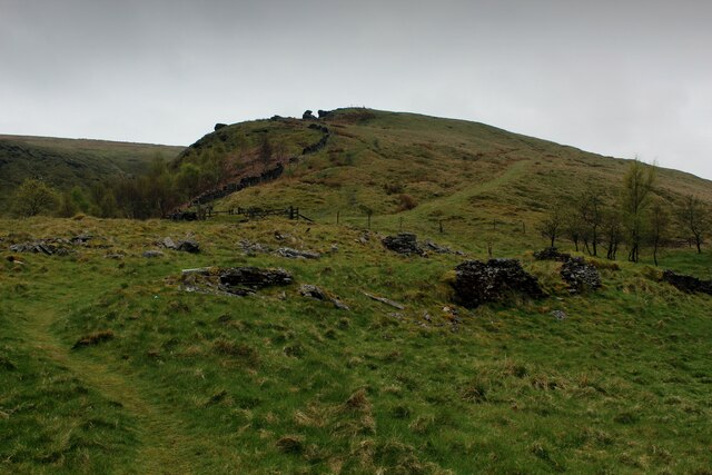
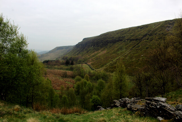
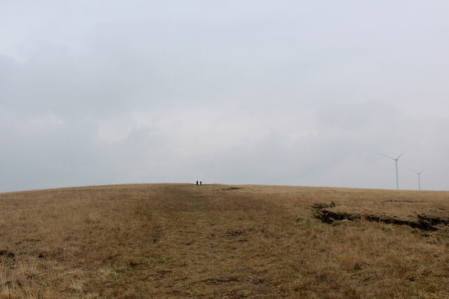
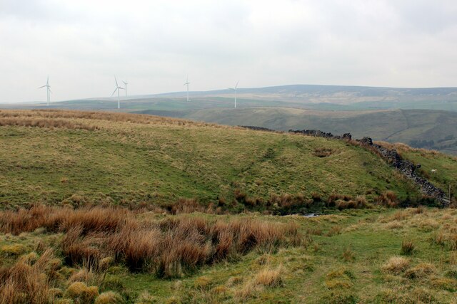
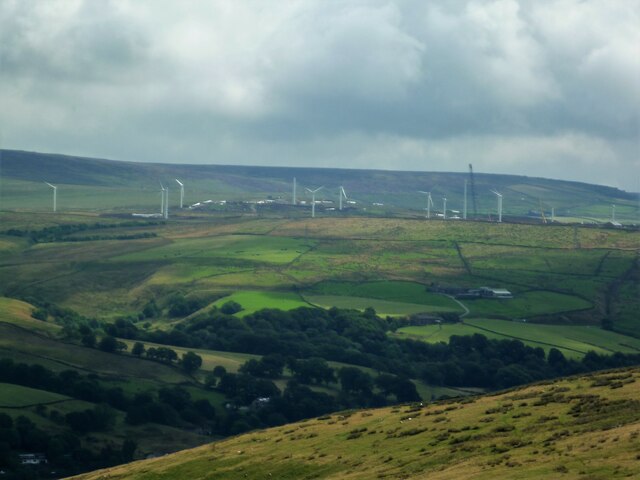
Fair Hill is a prominent hill located in the county of Lancashire, England. Situated in the western part of the county, it is part of the picturesque countryside that characterizes this region. Rising to an elevation of approximately 300 meters (984 feet), Fair Hill is considered one of the highest points in Lancashire, offering stunning panoramic views of the surrounding landscape.

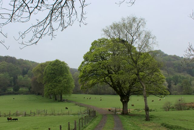
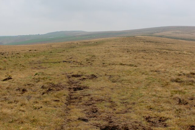
Covered in lush greenery, the hill is a popular destination for nature enthusiasts and hikers alike. Its slopes are adorned with a variety of trees, including oak, birch, and beech, creating a diverse and vibrant ecosystem. The hill also boasts an abundance of wildflowers, adding a splash of color to the landscape during the spring and summer months.

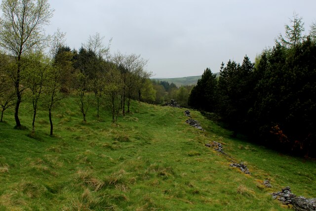
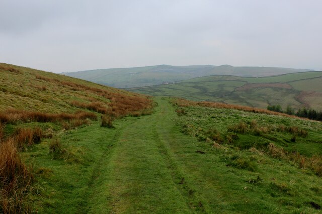
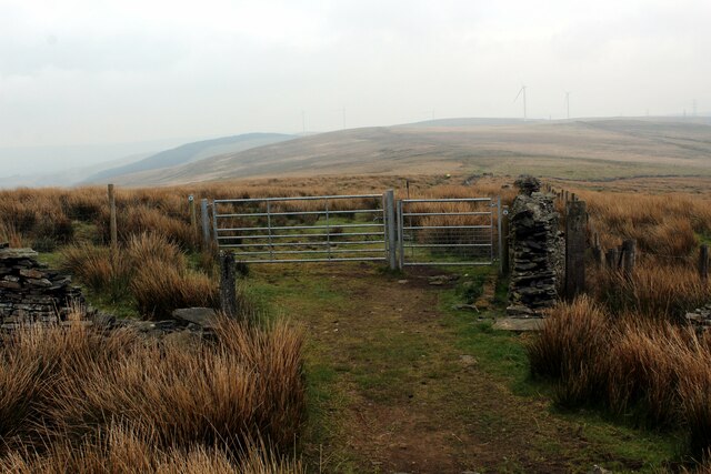
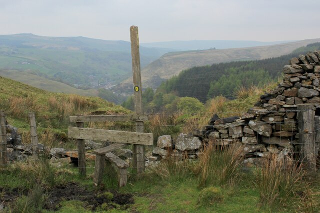
Fair Hill is home to several well-marked trails that wind their way up and around its slopes, providing ample opportunities for outdoor recreation and exploration. As visitors ascend the hill, they may encounter an array of native wildlife, such as rabbits, foxes, and various bird species, making it a haven for birdwatchers.

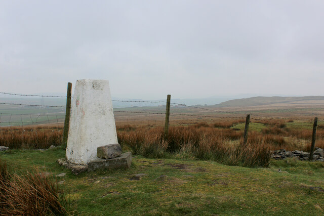
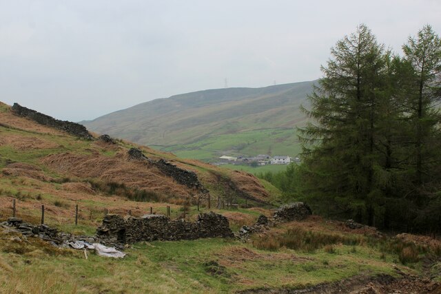
At the summit of Fair Hill, visitors are rewarded with breathtaking vistas of the Lancashire countryside, with rolling hills, picturesque villages, and distant mountains in view. On clear days, the hill offers a particularly spectacular view of the nearby Pennines, a range of hills and mountains that stretch across northern England.

Overall, Fair Hill is a tranquil and scenic location, offering a serene escape from the hustle and bustle of everyday life. Its natural beauty and recreational opportunities make it a must-visit destination for nature lovers and those seeking a peaceful retreat in Lancashire.

If you have any feedback on the listing, please let us know in the comments section below.
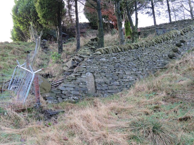
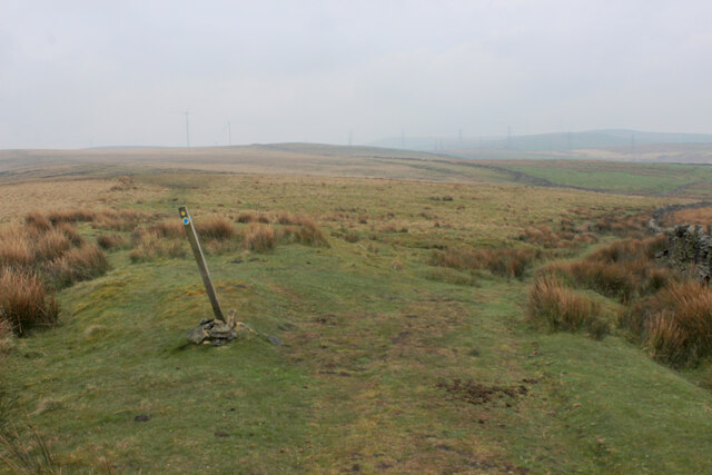
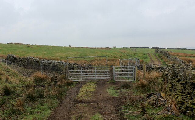
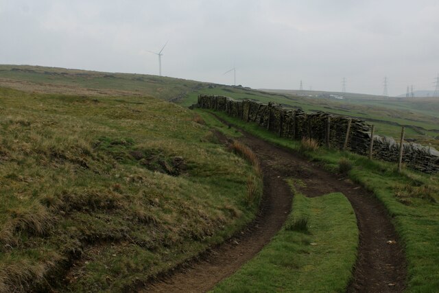
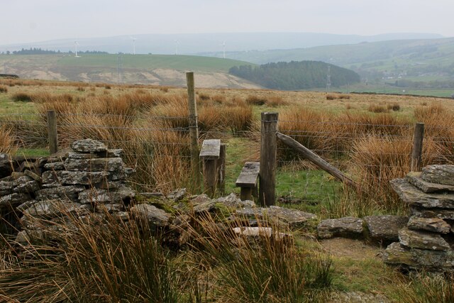
Fair Hill Images

Images are sourced within 2km of 53.743152/-2.1783741 or Grid Reference SD8827. Thanks to Geograph Open Source API. All images are credited.

Old Boundary Marker west of Burnley Road Municipal Boundary Marker set in a drystone wall beside the disused tramway of Deerplay Colliery, 75 metres west of the B671 Burnley Road. On the boundary of Cliviger parish and the former Newchurch parish. One of a series marking the boundary of Bacup Borough. Inscribed 31 / B B.

Milestone Society National ID: LA_BACCLI03pb
Old Boundary Marker west of Burnley Road
Municipal Boundary Marker set in a drystone wall beside the disused tramway of Deerplay Colliery, 75 metres west of the B671 Burnley Road. On the boundary of Cliviger parish and the former Newchurch parish. One of a series marking the boundary of Bacup Borough. Inscribed 31 / B B. Milestone Society National ID: LA_BACCLI03pb
Track heading towards Buckley Wood Public footpath from A646 south of Holme Chapel leading to Buckley Wood over the River Calder
Track heading towards Buckley Wood
Public footpath from A646 south of Holme Chapel leading to Buckley Wood over the River Calder
Trig Point on Thieveley Pike Highest point on Deerplay Moor at 449 metres.
The trig point now supports a fresh coat of white paint.
Trig Point on Thieveley Pike
Highest point on Deerplay Moor at 449 metres. The trig point now supports a fresh coat of white paint.
Footpath on the Southern Edge of Buckley Wood Woods on the flanks of Deerplay Moor
Footpath on the Southern Edge of Buckley Wood
Woods on the flanks of Deerplay Moor
Burnley Way ascending Deerplay Moor The long distance footpath climbs steeply beside Dean Scout
Burnley Way ascending Deerplay Moor
The long distance footpath climbs steeply beside Dean Scout
Flanks of Thieveley Scout
Grass Track on the Flanks of Deerplay Moor
Burnley Way heading South East towards Heald Moor Following the ridge from Deerplay Moor to Heald Moor on a misty morning
Burnley Way heading South East towards Heald Moor
Following the ridge from Deerplay Moor to Heald Moor on a misty morning
Fork in the Paths on Heald Moor The Burnley Way runs straight ahead over the moor, while a bridleway veers to right beside the wall towards the village of Weir
Fork in the Paths on Heald Moor
The Burnley Way runs straight ahead over the moor, while a bridleway veers to right beside the wall towards the village of Weir
Bridleway on the Edge of Heald Moor
Track on the Edge of Heald Moor
Stile on Heald Moor
Stile on Heald Moor
Burnley Way heading North West on Heald Moor The long distance footpath keeps mainly to the broad ridge across Heald Moor
Burnley Way heading North West on Heald Moor
The long distance footpath keeps mainly to the broad ridge across Heald Moor
Burnley Way heading South East on Heald Moor The long distance footpath keeps mainly to the broad ridge across Heald Moor
Burnley Way heading South East on Heald Moor
The long distance footpath keeps mainly to the broad ridge across Heald Moor
Burnley Way about to descend into the Upper Calder Valley To make matters confusing there are two River Calders.
The one overlooked by the stile flows east through Halifax and Wakefield to eventually arrive at the North Sea via the Humber Estuary.
The other flows in the opposite direction to the Irish Sea via the River Ribble.
Their sources are around a mile apart.
Burnley Way about to descend into the Upper Calder Valley
To make matters confusing there are two River Calders. The one overlooked by the stile flows east through Halifax and Wakefield to eventually arrive at the North Sea via the Humber Estuary. The other flows in the opposite direction to the Irish Sea via the River Ribble. Their sources are around a mile apart.
Chatham Hill Plantation
Burnley Way on the Eastern Edge of Heald Moor A 40 km long footpath <span class="nowrap"><a title="https://en.wikipedia.org/wiki/Burnley_Way" rel="nofollow ugc noopener" href="https://en.wikipedia.org/wiki/Burnley_Way">Link</a><img style="margin-left:2px;" alt="External link" title="External link - shift click to open in new window" src="https://s1.geograph.org.uk/img/external.png" width="10" height="10"/></span>
Burnley Way on the Eastern Edge of Heald Moor
A 40 km long footpath LinkExternal link
Coal Clough Wind Farm Redevelopment View from the Singing Ringing Tree of the renewal of the wind farm with larger turbines
Coal Clough Wind Farm Redevelopment
View from the Singing Ringing Tree of the renewal of the wind farm with larger turbines
Show me another place!

Fair Hill is located at Grid Ref: SD8827 (Lat: 53.743152, Lng: -2.1783741)

Administrative County: Lancashire

District: Burnley

Police Authority: Lancashire

What 3 Words

///grants.broached.home. Near Cornholme, West Yorkshire

Related Wikis

Holme Hall, Cliviger

Holme Hall (or The Holme) is a Grade II* listed manor house in Cliviger near Burnley, in Lancashire, England. The house dates back to at least the 15th...

Holme railway station (Lancashire)

Holme railway station served Holme Chapel on the Copy Pit line. The station closed in July 1930 and the line now serves as a non-stop route between Hebden...

Church of St John the Divine, Holme Chapel

The Church of St John the Divine is in Burnley Road, Holme Chapel, a village in the civil parish of Cliviger, near Burnley, Lancashire, England. It is...

Hill Top Colliery

The Hill Top Colliery in Sharneyford between Bacup and Todmorden was, until 2014, the last coal mine still in operation in Lancashire. == Foundation... ==

Nearby Amenities

Located within 500m of 53.743152,-2.1783741
Traffic Signals
Traffic Signals: signal
Traffic Signals Direction: backward
Lat/Long: 53.741409/-2.1723112
Traffic Signals
Traffic Signals: signal
Traffic Signals Direction: forward
Lat/Long: 53.7421799/-2.1730841
The data included in this document is from www.openstreetmap.org. The data is made available under ODbL.

Have you been to Fair Hill?

Leave your review of Fair Hill below (or comments, questions and feedback).