The Lowe Plantation
Wood, Forest in Lancashire Burnley
England
The Lowe Plantation
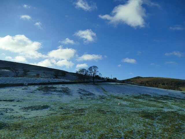
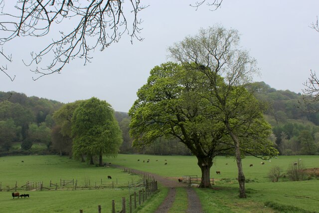
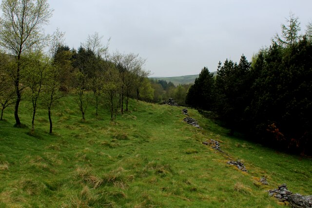
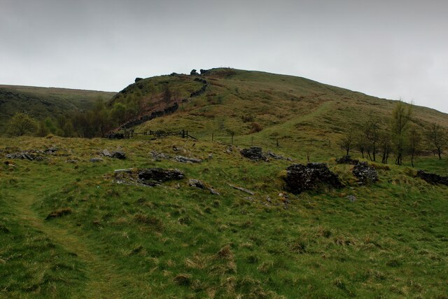
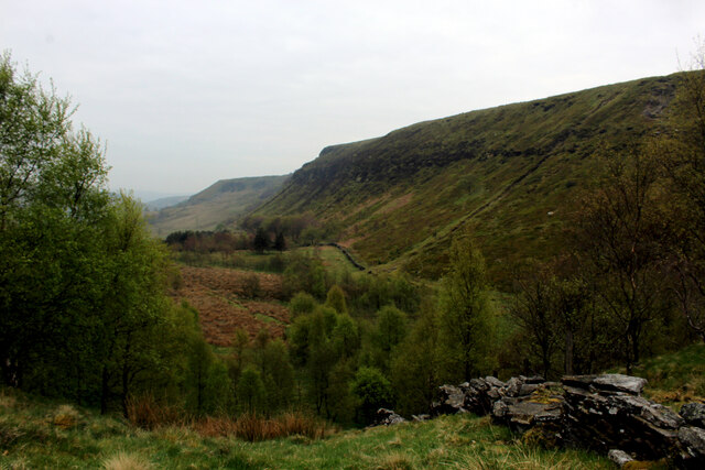
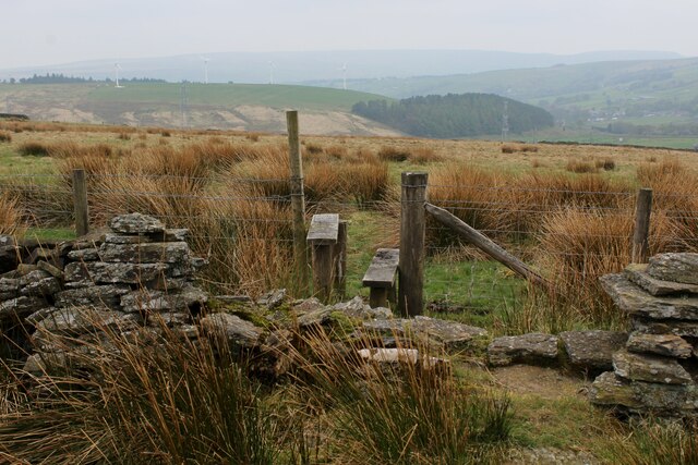
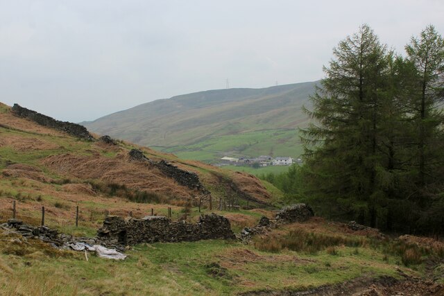
The Lowe Plantation is a picturesque woodland area located in Lancashire, England. Situated in close proximity to the town of Wood, this forested landscape spans an area of approximately 200 acres. The plantation is known for its diverse range of tree species, including oak, beech, ash, and birch, which thrive in the fertile soil of the region.
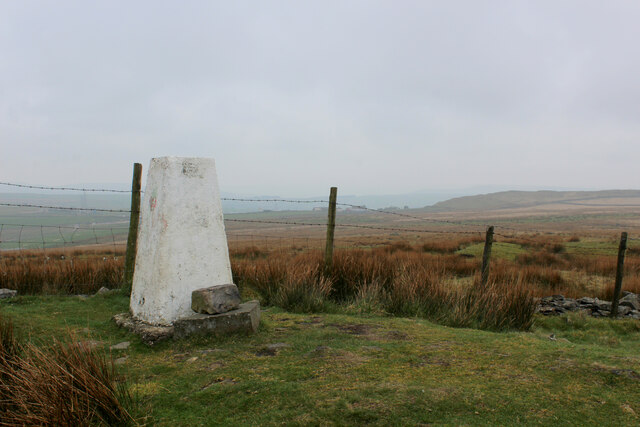
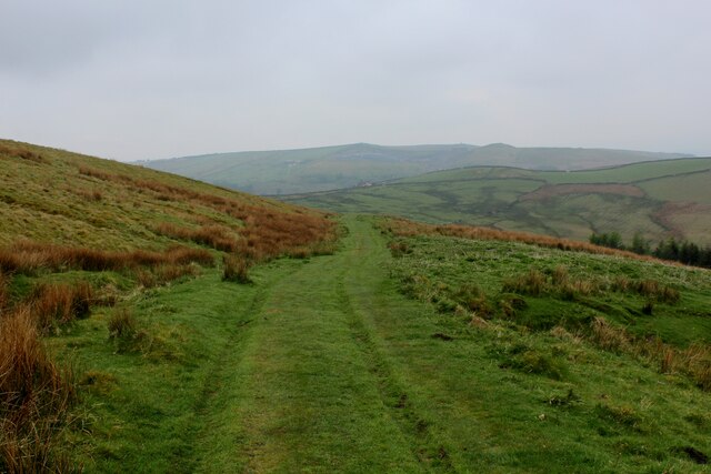
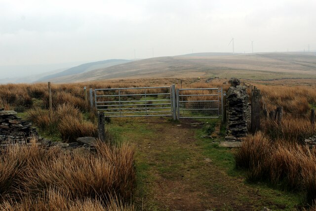
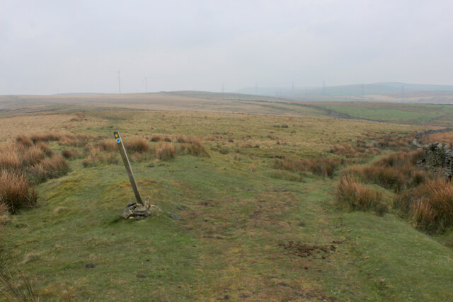
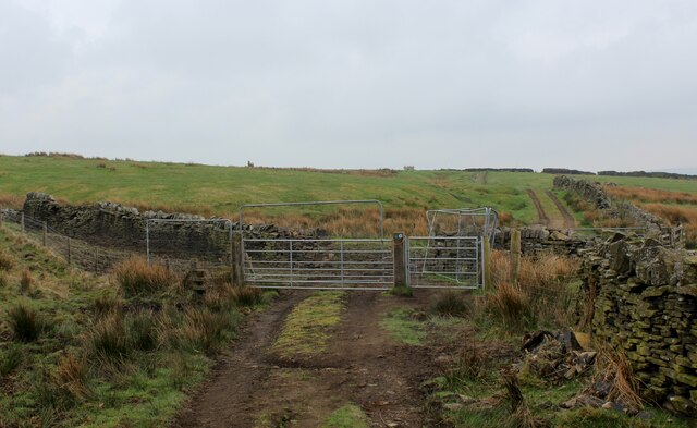
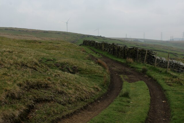
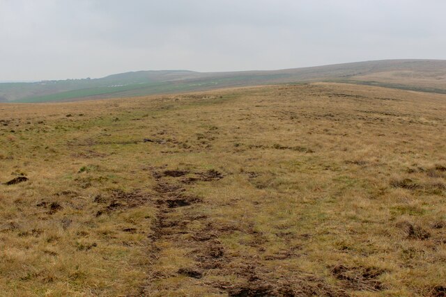
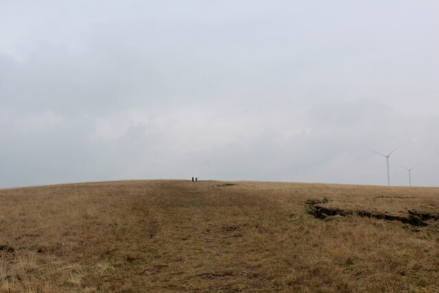
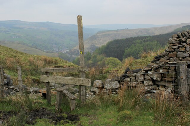
The natural beauty of The Lowe Plantation is accentuated by its rolling hills and tranquil atmosphere. Visitors can enjoy a peaceful walk along the well-maintained trails that meander through the forest, offering breathtaking views of the surrounding countryside. The area is a haven for birdwatchers, with a variety of avian species calling the woodland home. Bird enthusiasts may catch a glimpse of the colorful woodpeckers, robins, and jays that frequent the area.
The plantation also serves as a habitat for a range of other wildlife, including squirrels, rabbits, and deer. Nature lovers can observe these animals in their natural habitat, adding to the allure of the woodland. The peaceful ambiance and abundance of flora and fauna make The Lowe Plantation a popular destination for nature enthusiasts and photographers alike.
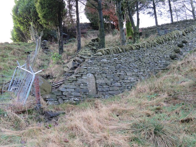
The forest is managed by a dedicated team of conservationists who work tirelessly to preserve its natural beauty. They undertake regular maintenance activities, such as tree planting and removal of invasive species, to ensure the long-term sustainability of the woodland.
Overall, The Lowe Plantation offers a serene escape for visitors seeking to immerse themselves in nature's splendor. Its captivating landscapes, diverse wildlife, and commitment to conservation make it a cherished destination in Lancashire.
If you have any feedback on the listing, please let us know in the comments section below.
The Lowe Plantation Images
Images are sourced within 2km of 53.746109/-2.1782654 or Grid Reference SD8827. Thanks to Geograph Open Source API. All images are credited.
The Lowe Plantation is located at Grid Ref: SD8827 (Lat: 53.746109, Lng: -2.1782654)
Administrative County: Lancashire
District: Burnley
Police Authority: Lancashire
What 3 Words
///turns.rinse.timed. Near Cornholme, West Yorkshire
Nearby Locations
Related Wikis

Holme Hall, Cliviger
Holme Hall (or The Holme) is a Grade II* listed manor house in Cliviger near Burnley, in Lancashire, England. The house dates back to at least the 15th...

Church of St John the Divine, Holme Chapel
The Church of St John the Divine is in Burnley Road, Holme Chapel, a village in the civil parish of Cliviger, near Burnley, Lancashire, England. It is...

Holme railway station (Lancashire)
Holme railway station served Holme Chapel on the Copy Pit line. The station closed in July 1930 and the line now serves as a non-stop route between Hebden...

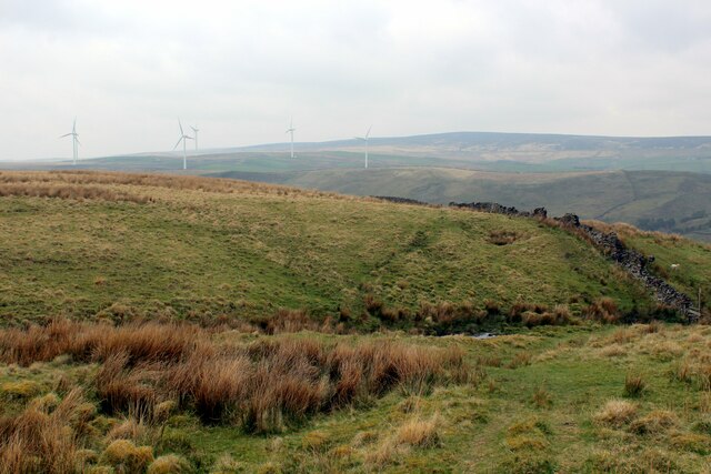
Coal Clough Wind Farm
Coal Clough Wind Farm is one of the oldest onshore wind farms in England. The wind farm, which was built for Scottish Power, produced electricity from...
Hill Top Colliery
The Hill Top Colliery in Sharneyford between Bacup and Todmorden was, until 2014, the last coal mine still in operation in Lancashire. == Foundation... ==

Portsmouth (Lancs) railway station
Portsmouth railway station was on the Copy Pit line and served the village of Portsmouth, which was part of Lancashire, before being incorporated into...

Portsmouth, West Yorkshire
Portsmouth is a village on the A646 road in the Calderdale district, in the county of West Yorkshire, England. Nearby settlements include the towns of...

Cornholme
Cornholme is a village near Todmorden, in the metropolitan borough of Calderdale, in West Yorkshire, England. It lies at the edge of Calderdale, on the...
Nearby Amenities
Located within 500m of 53.746109,-2.1782654Have you been to The Lowe Plantation?
Leave your review of The Lowe Plantation below (or comments, questions and feedback).