Steward's House Wood
Wood, Forest in Northumberland
England
Steward's House Wood
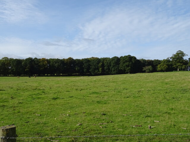
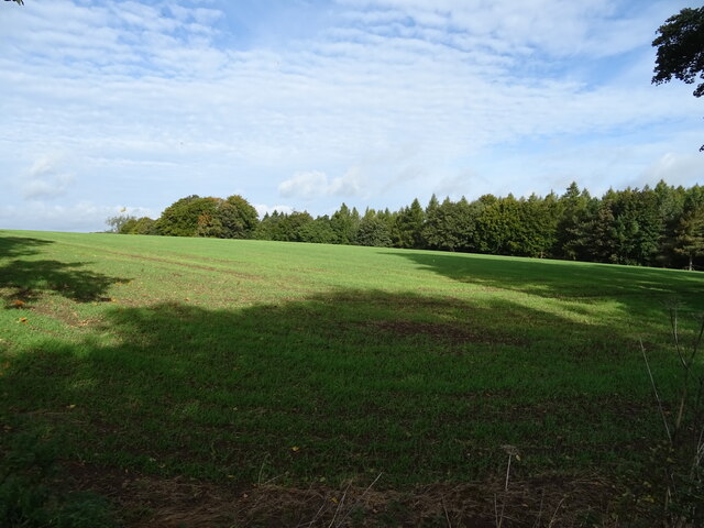
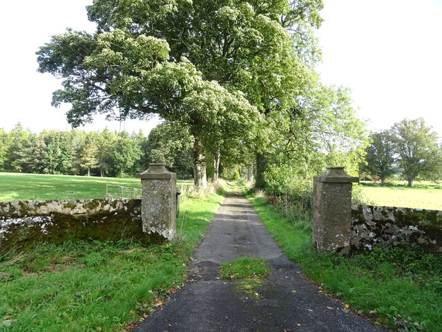
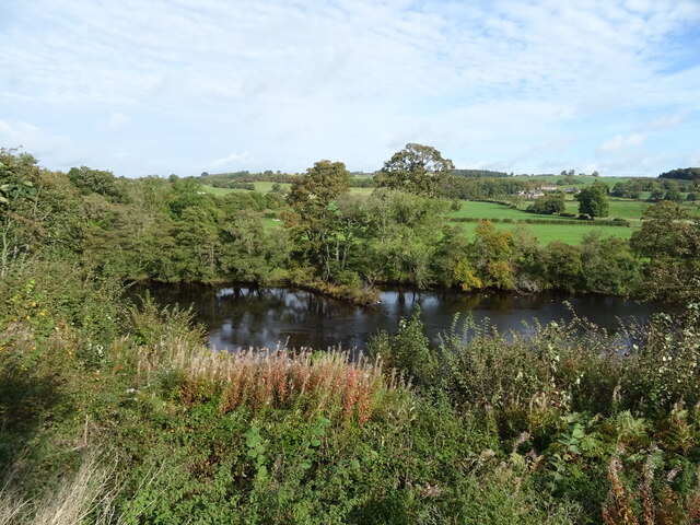
Steward's House Wood is a picturesque forest located in the county of Northumberland, in the northeast of England. This enchanting woodland covers an area of approximately 480 hectares and is known for its diverse range of flora and fauna.
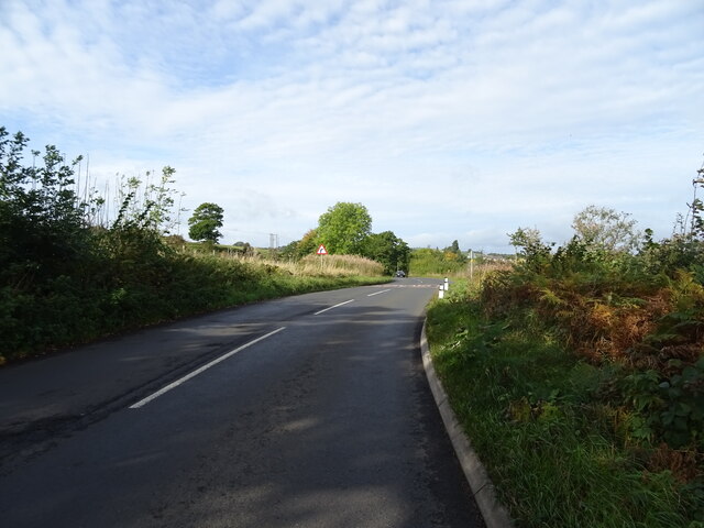
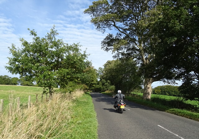
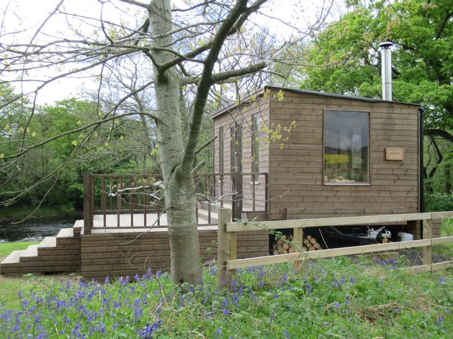
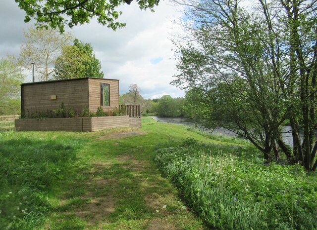
The forest is situated near the village of Wood and is easily accessible by foot or car. It is a popular destination for nature lovers, hikers, and photographers who are drawn to its tranquil beauty and peaceful surroundings. Steward's House Wood is managed by the Forestry Commission, ensuring its preservation and maintenance for future generations to enjoy.
Visitors to Steward's House Wood can explore its vast network of walking trails, which wind through ancient trees and lush vegetation. The forest is home to a variety of tree species, including oak, beech, and birch, providing a stunning display of colors throughout the seasons. Bluebells, wild garlic, and foxgloves carpet the forest floor during the spring months, creating a breathtaking sight.
Wildlife enthusiasts will be delighted by the abundance of animals that call Steward's House Wood their home. Deer, squirrels, and rabbits can often be spotted darting between the trees, while birdwatchers may catch a glimpse of woodpeckers, owls, and various species of songbirds.
Overall, Steward's House Wood is a captivating natural haven that offers visitors a chance to immerse themselves in the beauty of Northumberland's countryside. Its peaceful atmosphere, scenic trails, and diverse wildlife make it a must-visit destination for anyone seeking a connection with nature.
If you have any feedback on the listing, please let us know in the comments section below.
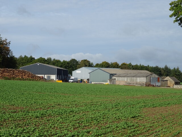
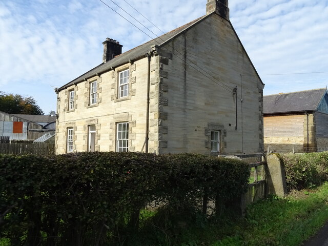
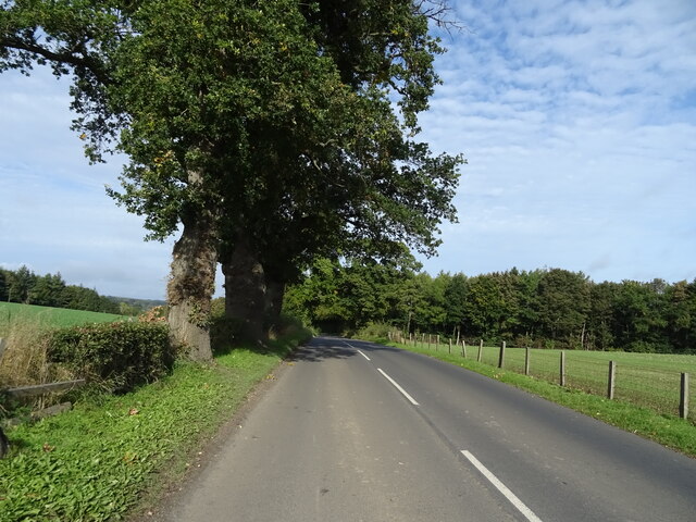
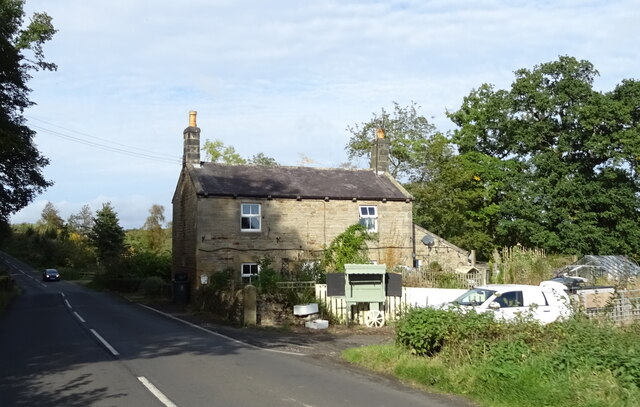
Steward's House Wood Images
Images are sourced within 2km of 55.077504/-2.1840821 or Grid Reference NY8875. Thanks to Geograph Open Source API. All images are credited.


Steward's House Wood is located at Grid Ref: NY8875 (Lat: 55.077504, Lng: -2.1840821)
Unitary Authority: Northumberland
Police Authority: Northumbria
What 3 Words
///pancake.fake.pronouns. Near Birtley, Northumberland
Nearby Locations
Related Wikis
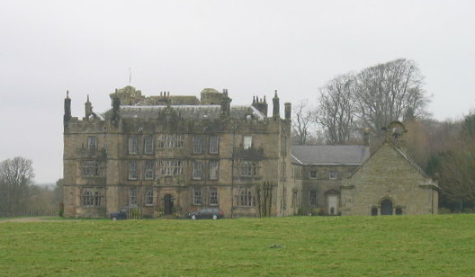
Chipchase Castle
Chipchase Castle is a 17th-century Jacobean mansion incorporating a substantial 14th-century pele tower, which stands north of Hadrian's Wall, near Wark...

Wark railway station
Wark railway station is a disused railway station which served the village of Wark on Tyne, Northumberland, England. Located on the Border Counties Railway...

Nunwick Hall
Nunwick Hall is a privately owned 18th-century country house near Simonburn, Northumberland in North East England. The estate has been the home of the...

Birtley, Northumberland
Birtley is a village in Northumberland, England southeast of Bellingham. It is about 10 miles (16 km) north of Hexham. == References == == External... ==
Wark in Tyndale Castle
Wark in Tyndale Castle was a medieval building in the English county of Northumberland (grid reference NY861768). It was first mentioned in 1399–1400,...

Wark on Tyne
Wark on Tyne is a small village and civil parish in Northumberland, England, 12 miles (19 km) north of Hexham. == History == The name is derived from the...

Wark Town Hall
Wark Town Hall is a municipal building on The Green in Wark on Tyne, Northumberland, England. The building, which is used as a community events venue,...

Simonburn
Simonburn is a small human settlement in Northumberland, England. == Early history == Simonburn lies to the north of Hadrian's Wall, the most noted Roman...
Nearby Amenities
Located within 500m of 55.077504,-2.1840821Have you been to Steward's House Wood?
Leave your review of Steward's House Wood below (or comments, questions and feedback).