Ratten Clough Wood

Wood, Forest in Lancashire Burnley

England

Ratten Clough Wood

Old Boundary Marker west of Burnley Road Municipal Boundary Marker set in a drystone wall beside the disused tramway of Deerplay Colliery, 75 metres west of the B671 Burnley Road. On the boundary of Cliviger parish and the former Newchurch parish. One of a series marking the boundary of Bacup Borough. Inscribed 31 / B B.

Milestone Society National ID: LA_BACCLI03pb
Old Boundary Marker west of Burnley Road Credit: C Chatham

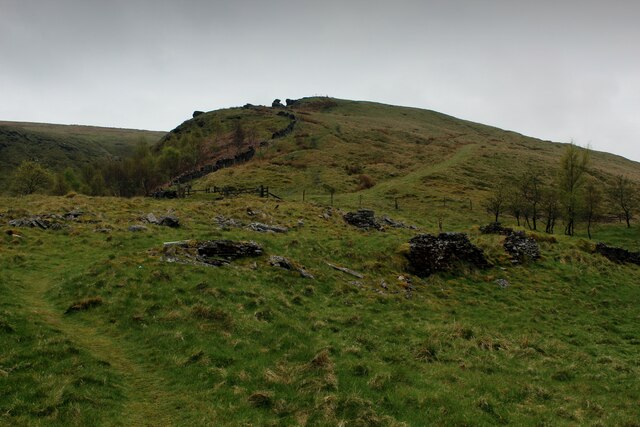
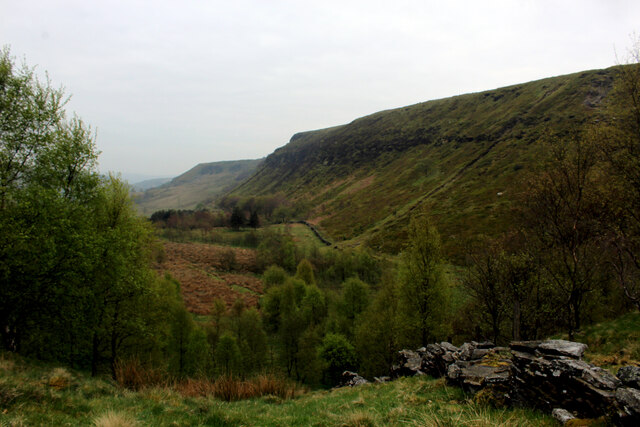
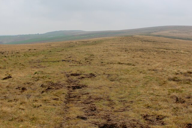
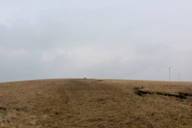
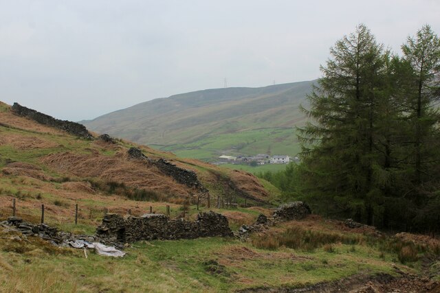
Ratten Clough Wood, located in Lancashire, England, is a picturesque woodland area that offers a tranquil retreat for nature enthusiasts and hikers. Spanning an area of approximately 50 hectares, this woodland is part of the larger Forest of Bowland, renowned for its outstanding natural beauty and rich biodiversity.

The woodland is characterized by its diverse range of tree species, including oak, beech, birch, and sycamore, which create a dense canopy, providing shade and shelter to a plethora of wildlife. The forest floor is adorned with a carpet of vibrant wildflowers, adding to the enchanting atmosphere.

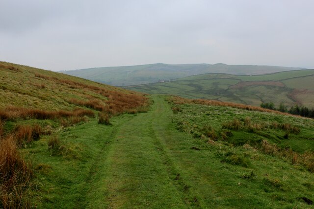
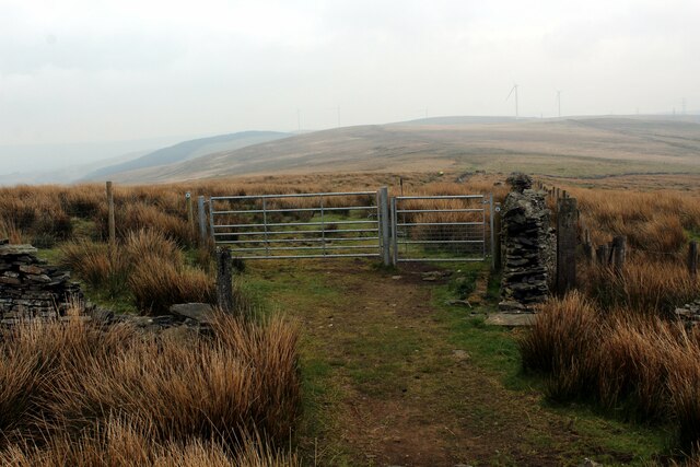
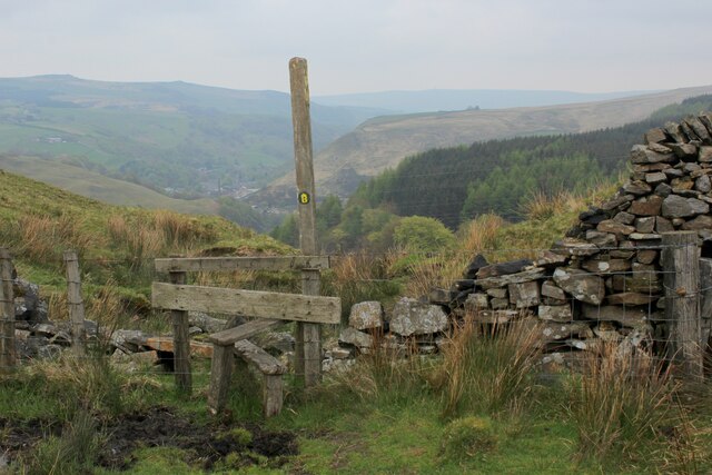
Ratten Clough Wood is crisscrossed by several well-marked footpaths, making it an ideal destination for walkers and hikers. These paths wind through the woodland, offering visitors the opportunity to explore its hidden nooks and crannies. The wood is home to a variety of bird species, such as woodpeckers, owls, and warblers, making it a haven for birdwatchers.

The woodland also boasts a small stream that meanders through its heart, adding to the natural beauty and providing a source of water for the resident wildlife. This stream can be crossed by several charming wooden footbridges, enhancing the scenic charm of the woodland.

Ratten Clough Wood is well-maintained by the local authorities, ensuring that visitors can enjoy its natural splendor all year round. Whether it's a leisurely stroll, a family picnic, or an exploration of nature, this woodland offers a serene and captivating experience for all who visit.

If you have any feedback on the listing, please let us know in the comments section below.

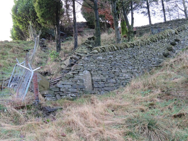
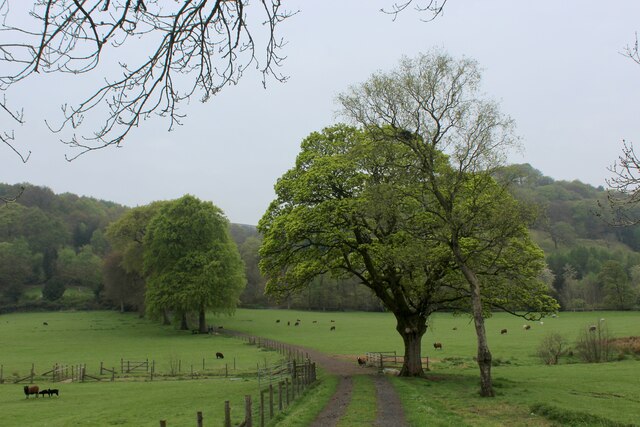
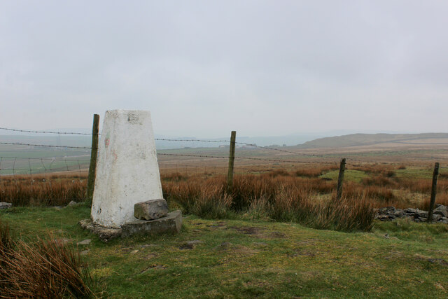
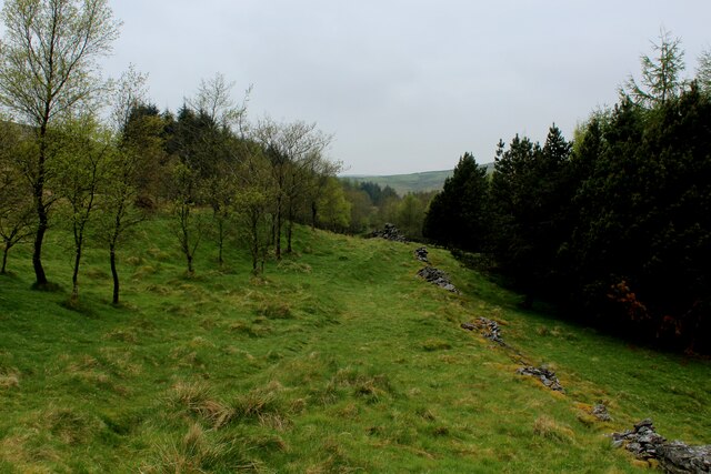
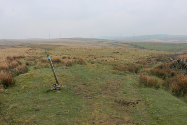
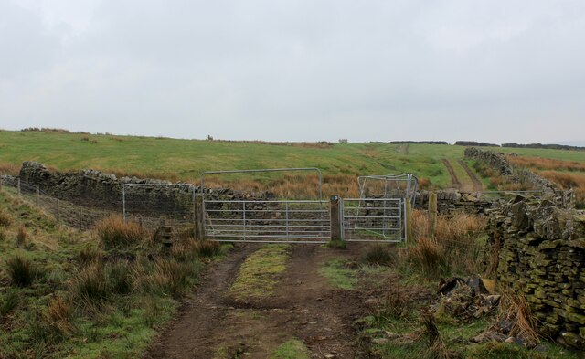
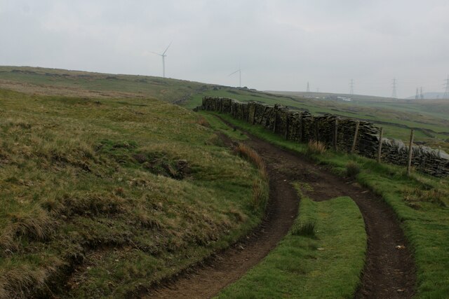
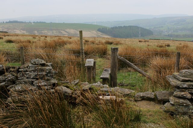
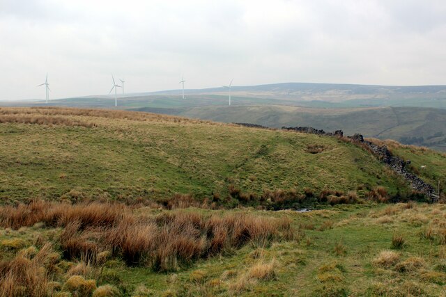
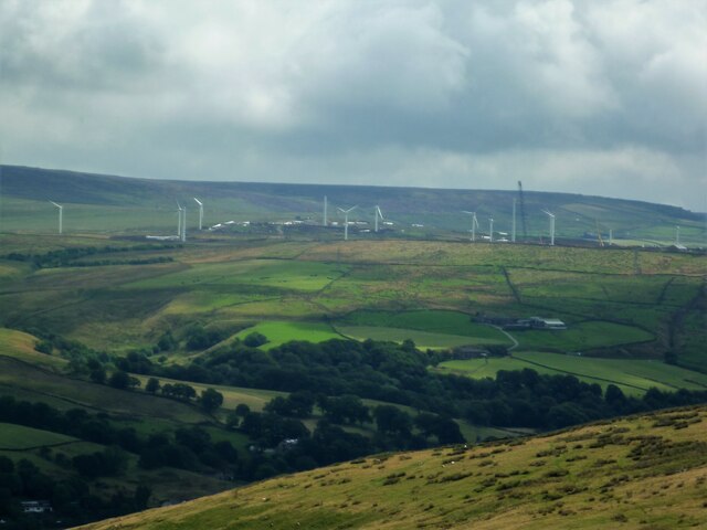
Ratten Clough Wood Images

Images are sourced within 2km of 53.739781/-2.1721591 or Grid Reference SD8827. Thanks to Geograph Open Source API. All images are credited.

Old Boundary Marker west of Burnley Road Municipal Boundary Marker set in a drystone wall beside the disused tramway of Deerplay Colliery, 75 metres west of the B671 Burnley Road. On the boundary of Cliviger parish and the former Newchurch parish. One of a series marking the boundary of Bacup Borough. Inscribed 31 / B B.

Milestone Society National ID: LA_BACCLI03pb
Old Boundary Marker west of Burnley Road
Municipal Boundary Marker set in a drystone wall beside the disused tramway of Deerplay Colliery, 75 metres west of the B671 Burnley Road. On the boundary of Cliviger parish and the former Newchurch parish. One of a series marking the boundary of Bacup Borough. Inscribed 31 / B B. Milestone Society National ID: LA_BACCLI03pb
Track heading towards Buckley Wood Public footpath from A646 south of Holme Chapel leading to Buckley Wood over the River Calder
Track heading towards Buckley Wood
Public footpath from A646 south of Holme Chapel leading to Buckley Wood over the River Calder
Trig Point on Thieveley Pike Highest point on Deerplay Moor at 449 metres.
The trig point now supports a fresh coat of white paint.
Trig Point on Thieveley Pike
Highest point on Deerplay Moor at 449 metres. The trig point now supports a fresh coat of white paint.
Footpath on the Southern Edge of Buckley Wood Woods on the flanks of Deerplay Moor
Footpath on the Southern Edge of Buckley Wood
Woods on the flanks of Deerplay Moor
Burnley Way ascending Deerplay Moor The long distance footpath climbs steeply beside Dean Scout
Burnley Way ascending Deerplay Moor
The long distance footpath climbs steeply beside Dean Scout
Flanks of Thieveley Scout
Grass Track on the Flanks of Deerplay Moor
Burnley Way heading South East towards Heald Moor Following the ridge from Deerplay Moor to Heald Moor on a misty morning
Burnley Way heading South East towards Heald Moor
Following the ridge from Deerplay Moor to Heald Moor on a misty morning
Fork in the Paths on Heald Moor The Burnley Way runs straight ahead over the moor, while a bridleway veers to right beside the wall towards the village of Weir
Fork in the Paths on Heald Moor
The Burnley Way runs straight ahead over the moor, while a bridleway veers to right beside the wall towards the village of Weir
Bridleway on the Edge of Heald Moor
Track on the Edge of Heald Moor
Stile on Heald Moor
Stile on Heald Moor
Burnley Way heading North West on Heald Moor The long distance footpath keeps mainly to the broad ridge across Heald Moor
Burnley Way heading North West on Heald Moor
The long distance footpath keeps mainly to the broad ridge across Heald Moor
Burnley Way heading South East on Heald Moor The long distance footpath keeps mainly to the broad ridge across Heald Moor
Burnley Way heading South East on Heald Moor
The long distance footpath keeps mainly to the broad ridge across Heald Moor
Burnley Way about to descend into the Upper Calder Valley To make matters confusing there are two River Calders.
The one overlooked by the stile flows east through Halifax and Wakefield to eventually arrive at the North Sea via the Humber Estuary.
The other flows in the opposite direction to the Irish Sea via the River Ribble.
Their sources are around a mile apart.
Burnley Way about to descend into the Upper Calder Valley
To make matters confusing there are two River Calders. The one overlooked by the stile flows east through Halifax and Wakefield to eventually arrive at the North Sea via the Humber Estuary. The other flows in the opposite direction to the Irish Sea via the River Ribble. Their sources are around a mile apart.
Chatham Hill Plantation
Burnley Way on the Eastern Edge of Heald Moor A 40 km long footpath <span class="nowrap"><a title="https://en.wikipedia.org/wiki/Burnley_Way" rel="nofollow ugc noopener" href="https://en.wikipedia.org/wiki/Burnley_Way">Link</a><img style="margin-left:2px;" alt="External link" title="External link - shift click to open in new window" src="https://s1.geograph.org.uk/img/external.png" width="10" height="10"/></span>
Burnley Way on the Eastern Edge of Heald Moor
A 40 km long footpath LinkExternal link
Coal Clough Wind Farm Redevelopment View from the Singing Ringing Tree of the renewal of the wind farm with larger turbines
Coal Clough Wind Farm Redevelopment
View from the Singing Ringing Tree of the renewal of the wind farm with larger turbines
Show me another place!

Ratten Clough Wood is located at Grid Ref: SD8827 (Lat: 53.739781, Lng: -2.1721591)

Administrative County: Lancashire

District: Burnley

Police Authority: Lancashire

What 3 Words

///maker.uniform.repelled. Near Cornholme, West Yorkshire

Related Wikis

Hill Top Colliery

The Hill Top Colliery in Sharneyford between Bacup and Todmorden was, until 2014, the last coal mine still in operation in Lancashire. == Foundation... ==

Portsmouth (Lancs) railway station

Portsmouth railway station was on the Copy Pit line and served the village of Portsmouth, which was part of Lancashire, before being incorporated into...

Portsmouth, West Yorkshire

Portsmouth is a village on the A646 road in the Calderdale district, in the county of West Yorkshire, England. Nearby settlements include the towns of...

Holme Hall, Cliviger

Holme Hall (or The Holme) is a Grade II* listed manor house in Cliviger near Burnley, in Lancashire, England. The house dates back to at least the 15th...

Coal Clough Wind Farm

Coal Clough Wind Farm is one of the oldest onshore wind farms in England. The wind farm, which was built for Scottish Power, produced electricity from...

Cornholme

Cornholme is a village near Todmorden, in the metropolitan borough of Calderdale, in West Yorkshire, England. It lies at the edge of Calderdale, on the...

Holme railway station (Lancashire)

Holme railway station served Holme Chapel on the Copy Pit line. The station closed in July 1930 and the line now serves as a non-stop route between Hebden...

Church of St John the Divine, Holme Chapel

The Church of St John the Divine is in Burnley Road, Holme Chapel, a village in the civil parish of Cliviger, near Burnley, Lancashire, England. It is...

Nearby Amenities

Located within 500m of 53.739781,-2.1721591
Historic: milestone
Lat/Long: 53.7410137/-2.1714668
Traffic Signals
Traffic Signals: signal
Traffic Signals Direction: backward
Lat/Long: 53.741409/-2.1723112
Traffic Signals
Traffic Signals: signal
Traffic Signals Direction: forward
Lat/Long: 53.7421799/-2.1730841
Bus Stop
Bus: yes
Naptan AtcoCode: 2500IMG2134
Naptan NaptanCode: langagad
Public Transport: platform
Lat/Long: 53.7389338/-2.1659522
Barrier: stile
Material: wood
Stile: stepover
Lat/Long: 53.7391809/-2.1657662
Barrier: kissing_gate
Lat/Long: 53.7397303/-2.1651362
Railway: crossing
Lat/Long: 53.7397714/-2.1650912
Railway: crossing
Lat/Long: 53.7398036/-2.1650643
Barrier: kissing_gate
Lat/Long: 53.7398594/-2.164826
The data included in this document is from www.openstreetmap.org. The data is made available under ODbL.

Have you been to Ratten Clough Wood?

Leave your review of Ratten Clough Wood below (or comments, questions and feedback).