Bargarran

Settlement in Renfrewshire

Scotland

Bargarran

The Erskine Bridge The A898 crossing the River Clyde.
The Erskine Bridge Credit: Eirian Evans

Bargarran is a small village located in the county of Renfrewshire, Scotland. Situated approximately 9 miles west of the town of Paisley, it falls within the council area of Renfrewshire. The village is bordered by the towns of Erskine, Inchinnan, and Bishopton.

Historically, Bargarran was primarily an agricultural community, with farming being the main occupation of its residents. However, with the expansion of nearby towns and cities, the village has seen some changes in recent years. Many of the traditional farms have been replaced by residential developments, attracting new residents to the area.

The village is known for its close-knit community and friendly atmosphere. It has a population of around 1,500 people, and amenities within the village include a primary school, a few local shops, and a community center. The nearby towns offer additional amenities and services, ensuring that residents have access to a range of facilities.

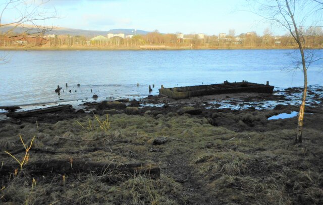
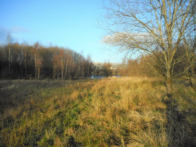
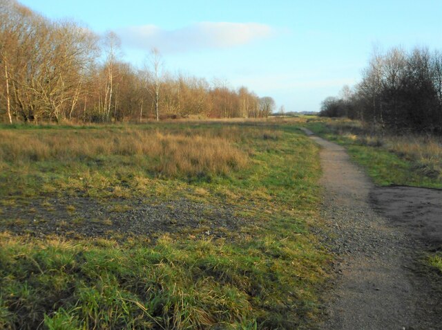
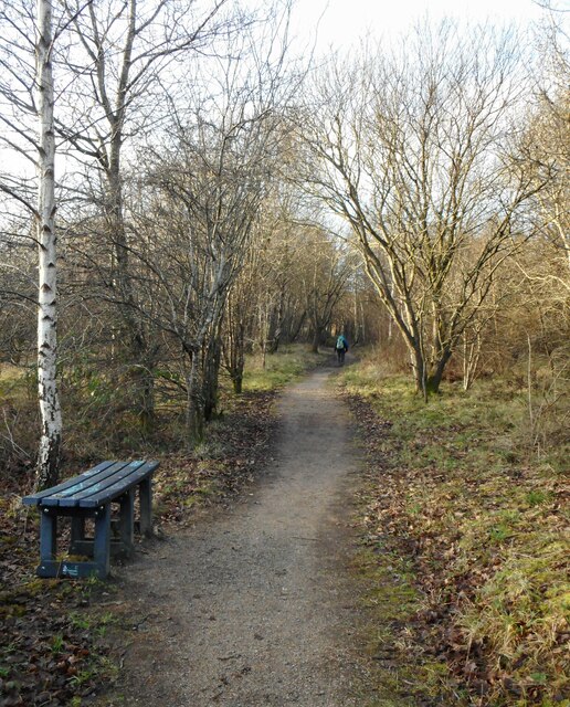
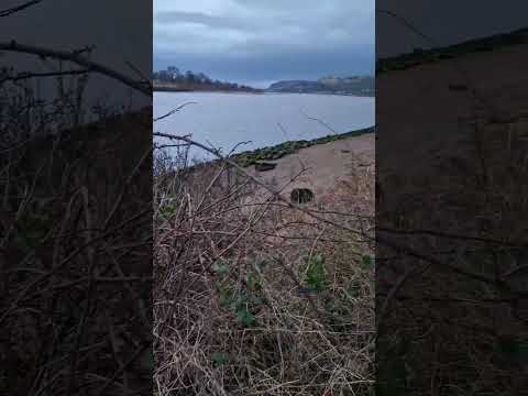
Bargarran is surrounded by picturesque countryside, making it an ideal location for outdoor enthusiasts. There are several walking and cycling routes in the area, allowing residents to explore the natural beauty of Renfrewshire. Additionally, the village is well-connected by road and public transport, with regular bus services connecting it to Paisley and other nearby towns.

Overall, Bargarran offers a peaceful and rural setting, while still providing easy access to nearby urban areas.

If you have any feedback on the listing, please let us know in the comments section below.
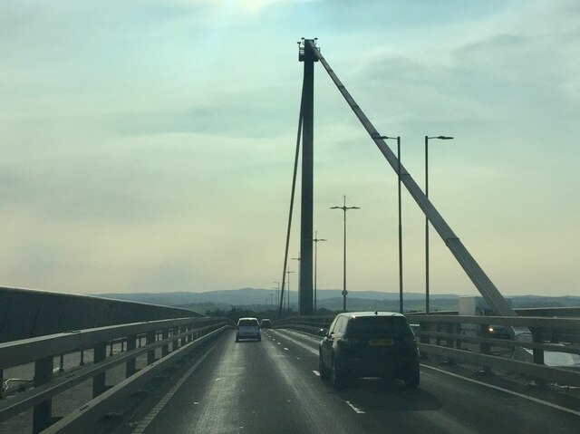
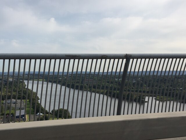
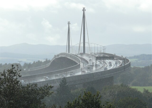
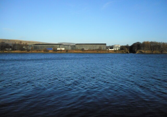
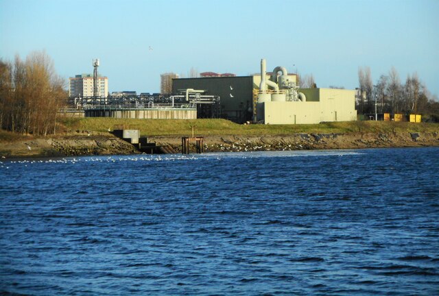
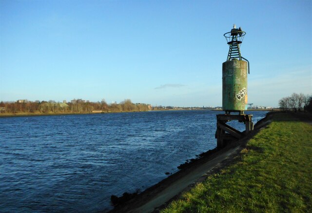
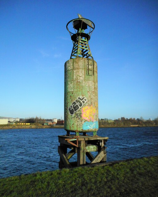
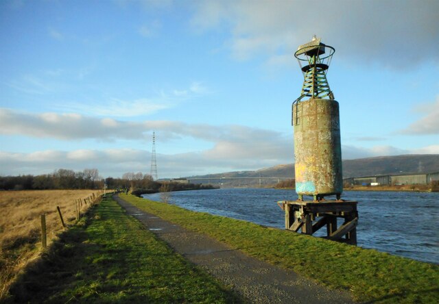
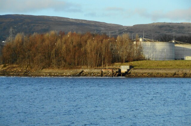
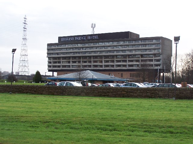
Bargarran Images

Images are sourced within 2km of 55.908661/-4.467257 or Grid Reference NS4571. Thanks to Geograph Open Source API. All images are credited.

The Erskine Bridge The A898 crossing the River Clyde.
The Erskine Bridge
The A898 crossing the River Clyde.
The River Clyde Seen through the barrier of the Erskine Bridge.
The River Clyde
Seen through the barrier of the Erskine Bridge.
The Erskine Bridge A zoomed view from about 1km away. A heavy rain shower has just passed through, and the spray from vehicles crossing the bridge is visible even from this distance.
The Erskine Bridge
A zoomed view from about 1km away. A heavy rain shower has just passed through, and the spray from vehicles crossing the bridge is visible even from this distance.
The Erskine Bridge A zoomed view from about 1km away. Although there is still a bit of surface spray, conditions are better than about 40 minutes earlier <a href="https://www.geograph.org.uk/photo/6979004">NS4672 : The Erskine Bridge</a>.
The Erskine Bridge
A zoomed view from about 1km away. Although there is still a bit of surface spray, conditions are better than about 40 minutes earlier NS4672 : The Erskine Bridge.
Bonded warehouses Some of the many bonded warehouses beside the River Clyde on a sunny afternoon with hardly a cloud in the sky.
Bonded warehouses
Some of the many bonded warehouses beside the River Clyde on a sunny afternoon with hardly a cloud in the sky.
Dalmuir Waste Water Treatment Works Seen from across the River Clyde. Large numbers of gulls are on the water beside the outfall.
Dalmuir Waste Water Treatment Works
Seen from across the River Clyde. Large numbers of gulls are on the water beside the outfall.
The Rashilee Light A navigation beacon on the south bank of the River Clyde. The green compressed gas cylinder used to power the light, but it is now powered by a small solar panel on the southwest side at the top beside the light. See Canmore <span class="nowrap"><a title="https://canmore.org.uk/site/350802/river-clyde-rashilee-light" rel="nofollow ugc noopener" href="https://canmore.org.uk/site/350802/river-clyde-rashilee-light">Link</a><img style="margin-left:2px;" alt="External link" title="External link - shift click to open in new window" src="https://s1.geograph.org.uk/img/external.png" width="10" height="10"/></span>.
The Rashilee Light
A navigation beacon on the south bank of the River Clyde. The green compressed gas cylinder used to power the light, but it is now powered by a small solar panel on the southwest side at the top beside the light. See Canmore LinkExternal link.
The Rashilee Light A navigation beacon on the south bank of the River Clyde. The green compressed gas cylinder used to power the light, but it is now powered by a small solar panel on the southwest side at the top beside the light. See Canmore <span class="nowrap"><a title="https://canmore.org.uk/site/350802/river-clyde-rashilee-light" rel="nofollow ugc noopener" href="https://canmore.org.uk/site/350802/river-clyde-rashilee-light">Link</a><img style="margin-left:2px;" alt="External link" title="External link - shift click to open in new window" src="https://s1.geograph.org.uk/img/external.png" width="10" height="10"/></span>.

The Erskine Bridge is visible in the distance.
The Rashilee Light
A navigation beacon on the south bank of the River Clyde. The green compressed gas cylinder used to power the light, but it is now powered by a small solar panel on the southwest side at the top beside the light. See Canmore LinkExternal link. The Erskine Bridge is visible in the distance.
Flaking paint and graffiti The green paint on the compressed gas cylinder used to power the Rashilee Light <a href="https://www.geograph.org.uk/photo/7072343">NS4770 : The Rashilee Light</a> is flaking and has also been covered by some colourful graffiti.
Flaking paint and graffiti
The green paint on the compressed gas cylinder used to power the Rashilee Light NS4770 : The Rashilee Light is flaking and has also been covered by some colourful graffiti.
The Erskine Bridge The two pylons are much closer than the bridge.
The Erskine Bridge
The two pylons are much closer than the bridge.
Park Quay Disused quay on the River Clyde.
Park Quay
Disused quay on the River Clyde.
Sign for Newshot Island Local Nature Reserve Erskine's only Nature Reserve. The Inner Clyde estuary is an internationally designated site for the protection of wintering wading birds.
Sign for Newshot Island Local Nature Reserve
Erskine's only Nature Reserve. The Inner Clyde estuary is an internationally designated site for the protection of wintering wading birds.
Newshot Island Boat Graveyard Two of about 50 barges, punts and other vessels abandoned in the mud between Erskine and Newshot Island. Many of these were used during the deepening of the channel of the River Clyde in the late 19th and early 20th centuries.
Newshot Island Boat Graveyard
Two of about 50 barges, punts and other vessels abandoned in the mud between Erskine and Newshot Island. Many of these were used during the deepening of the channel of the River Clyde in the late 19th and early 20th centuries.
Clearing, Newshot Island LNR A clearing within the wooded area of Newshot Island Local Nature Reserve.
Clearing, Newshot Island LNR
A clearing within the wooded area of Newshot Island Local Nature Reserve.
Footpath beside Newshot Island LNR The footpath goes past the edge of Newshot Island Local Nature Reserve and leads to Newshot Drive.
Footpath beside Newshot Island LNR
The footpath goes past the edge of Newshot Island Local Nature Reserve and leads to Newshot Drive.
Footpath, Newshot Island Local Nature Reserve
Outfall, Dalmuir Waste Water Treatment Works Large numbers of gulls congregate on the water beside the outfall into the River Clyde.
Outfall, Dalmuir Waste Water Treatment Works
Large numbers of gulls congregate on the water beside the outfall into the River Clyde.
Show me another place!

Bargarran is located at Grid Ref: NS4571 (Lat: 55.908661, Lng: -4.467257)

Unitary Authority: Renfrewshire

Police Authority: Renfrewshire and Inverclyde

What 3 Words

///mammoths.strongman.fruits. Near Erskine, Renfrewshire

Related Wikis

Related Videos

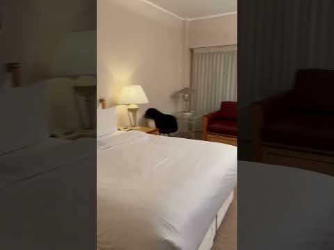
My Stay at Golden Jubilee Conference Hotel , Glasgow HD Video 29/11/23 #GoldenJubileeConferenceHotel

My Stay at Golden Jubilee Conference Hotel HD Video 29/11/23 Absolutely beautiful room and I was put in a Executive Room ...

Nearby Amenities

Located within 500m of 55.908661,-4.467257
Created By: Merkaartor 0.13
Lat/Long: 55.9065423/-4.4737034
Created By: Merkaartor 0.13
Lat/Long: 55.9070641/-4.4733927
Post Office
Bargarran Post Office
Addr Postcode: PA8 6BS
Brand: Post Office
Brand Wikidata: Q1783168
Ref Pol Id: 24391
Source: OS OpenData StreetView
Lat/Long: 55.9080249/-4.4645664
Kerb: no
Lat/Long: 55.9053141/-4.4725794
Pharmacy
Lloyds Pharmacy
Brand: Lloyds Pharmacy
Brand Wikidata: Q6662870
Brand Wikipedia: en:LloydsPharmacy
Healthcare: pharmacy
Lat/Long: 55.9083623/-4.4650736
Bus Stop
Bus: yes
Local Ref: Sempill Bus Terminus
Naptan AtcoCode: 6140994
Naptan NaptanCode: 73923953
Public Transport: platform
Lat/Long: 55.9066989/-4.4711028
Post Box
Brand: Royal Mail
Brand Wikidata: Q638098
Brand Wikipedia: en:Royal Mail
Operator: Royal Mail
Operator Wikidata: Q638098
Post Box Type: lamp
Lat/Long: 55.9093011/-4.4641494
North Barr
Place: suburb
Lat/Long: 55.9084559/-4.4593441
Street Lamp
Lat/Long: 55.9063401/-4.4685203
Street Lamp
Lat/Long: 55.9065081/-4.4679332
Street Lamp
Lat/Long: 55.9075399/-4.4664056
Street Lamp
Lat/Long: 55.9070447/-4.4659274
Street Lamp
Lat/Long: 55.9075615/-4.4673869
Street Lamp
Lamp Mount: straight_mast
Lamp Type: electric
Lat/Long: 55.9054071/-4.4711343
Street Lamp
Lamp Mount: straight_mast
Lamp Type: electric
Lat/Long: 55.9048938/-4.4713817
Generator Method: photovoltaic
Generator Output Electricity: yes
Generator Source: solar
Generator Type: solar_photovoltaic_panel
Power: generator
Lat/Long: 55.9049237/-4.4631354
Generator Method: photovoltaic
Generator Output Electricity: yes
Generator Source: solar
Generator Type: solar_photovoltaic_panel
Power: generator
Lat/Long: 55.9048986/-4.463048
Generator Method: photovoltaic
Generator Output Electricity: yes
Generator Source: solar
Generator Type: solar_photovoltaic_panel
Power: generator
Lat/Long: 55.906151/-4.4618309
Generator Method: photovoltaic
Generator Output Electricity: yes
Generator Source: solar
Generator Type: solar_photovoltaic_panel
Power: generator
Lat/Long: 55.9061484/-4.4617769
Generator Method: photovoltaic
Generator Output Electricity: yes
Generator Source: solar
Generator Type: solar_photovoltaic_panel
Power: generator
Lat/Long: 55.9063055/-4.4616845
Generator Method: photovoltaic
Generator Output Electricity: yes
Generator Source: solar
Generator Type: solar_photovoltaic_panel
Power: generator
Lat/Long: 55.9062986/-4.4616321
Generator Method: photovoltaic
Generator Output Electricity: yes
Generator Source: solar
Generator Type: solar_photovoltaic_panel
Power: generator
Lat/Long: 55.9059135/-4.4625518
Generator Method: photovoltaic
Generator Output Electricity: yes
Generator Source: solar
Generator Type: solar_photovoltaic_panel
Power: generator
Lat/Long: 55.9059869/-4.4628091
Generator Method: photovoltaic
Generator Output Electricity: yes
Generator Source: solar
Generator Type: solar_photovoltaic_panel
Power: generator
Lat/Long: 55.9059601/-4.4625333
Generator Method: photovoltaic
Generator Output Electricity: yes
Generator Source: solar
Generator Type: solar_photovoltaic_panel
Power: generator
Lat/Long: 55.906569/-4.4636612
Generator Method: photovoltaic
Generator Output Electricity: yes
Generator Source: solar
Generator Type: solar_photovoltaic_panel
Power: generator
Lat/Long: 55.9066082/-4.4635912
Bargarran
Place: suburb
Lat/Long: 55.9079362/-4.4680591
Give Way
Direction: backward
Lat/Long: 55.9104093/-4.4617459
Motorway Junction
Toll Plaza Interchange
Ref: 1
Lat/Long: 55.907163/-4.4735518
Motorway Junction
Toll Plaza Interchange
Ref: 1
Lat/Long: 55.9105322/-4.4724531
The data included in this document is from www.openstreetmap.org. The data is made available under ODbL.

Have you been to Bargarran?

Leave your review of Bargarran below (or comments, questions and feedback).