Boden Boo Plantation
Wood, Forest in Renfrewshire
Scotland
Boden Boo Plantation

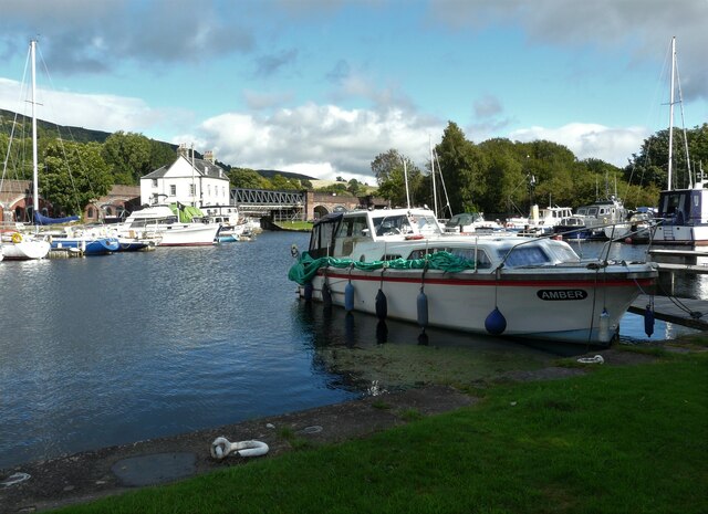
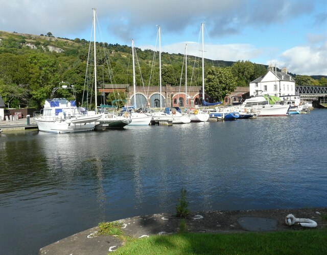
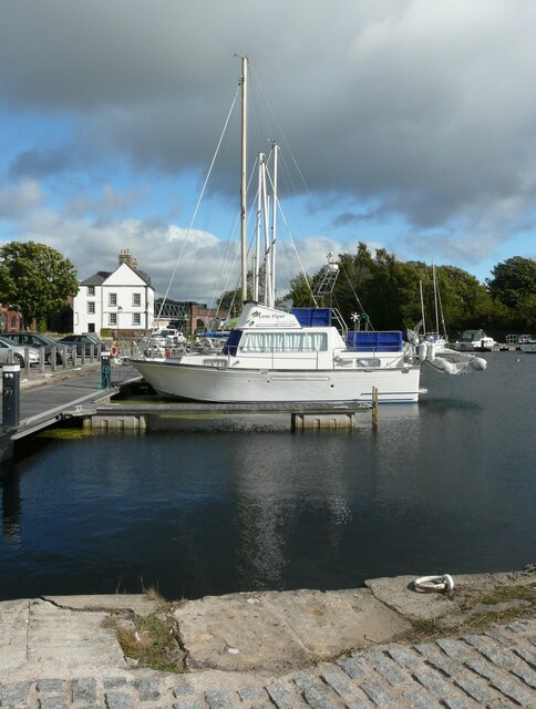
Boden Boo Plantation is a beautiful wood located in Renfrewshire, Scotland. It covers an area of approximately 60 hectares and is situated on the banks of the River Clyde. The plantation is well-known for its stunning natural scenery, diverse wildlife, and rich history.
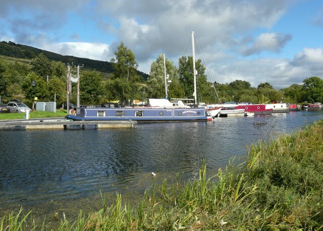
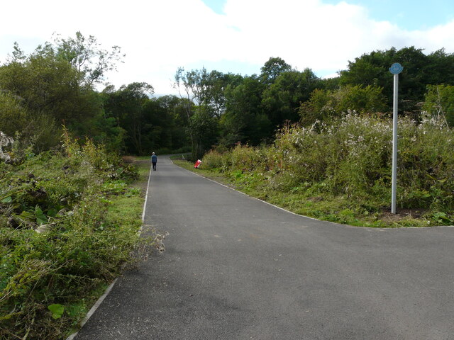
The wood is predominantly composed of mixed broadleaf and coniferous trees, creating a vibrant and varied landscape. Visitors can explore numerous walking trails that wind through the plantation, allowing them to fully immerse themselves in the tranquil surroundings. The paths offer stunning views of the River Clyde and the surrounding countryside, making it a popular spot for nature enthusiasts and photographers.
Boden Boo Plantation is home to a wide range of wildlife, including various bird species, mammals, and insects. Birdwatchers can spot species such as woodpeckers, kingfishers, and herons, while lucky visitors may even catch a glimpse of red squirrels or roe deer.
The plantation also holds historical significance, as it was once part of the larger Boden Boo Estate. The estate was originally owned by the Maxwell family and played a role in the industrial development of the area. Today, the plantation serves as a reminder of the region's past and offers visitors a chance to step back in time.
Overall, Boden Boo Plantation is a must-visit destination for those seeking a peaceful retreat within nature. Its stunning scenery, diverse wildlife, and historical significance make it a truly special place in Renfrewshire.
If you have any feedback on the listing, please let us know in the comments section below.
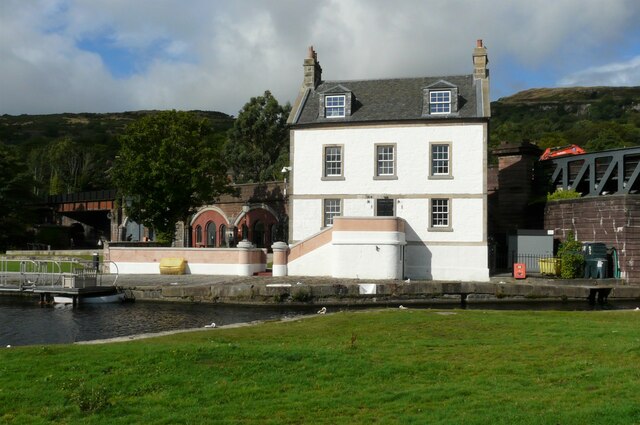
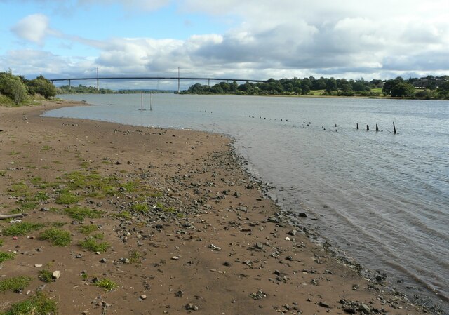
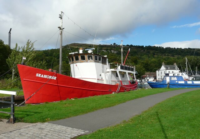
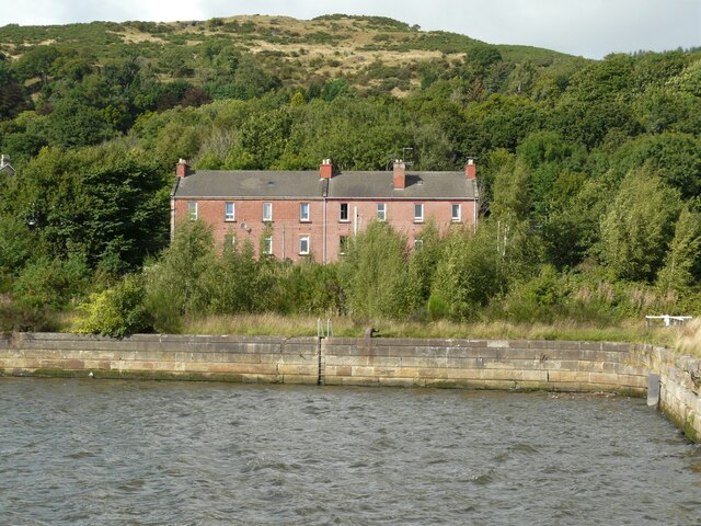
Boden Boo Plantation Images
Images are sourced within 2km of 55.915754/-4.4679704 or Grid Reference NS4571. Thanks to Geograph Open Source API. All images are credited.


Boden Boo Plantation is located at Grid Ref: NS4571 (Lat: 55.915754, Lng: -4.4679704)
Unitary Authority: Renfrewshire
Police Authority: Renfrewshire and Inverclyde
What 3 Words
///soulful.offices.limelight. Near Old Kilpatrick, West Dunbartonshire
Nearby Locations
Related Wikis

Erskine Bridge
The Erskine Bridge is a multi span cable-stayed box girder bridge spanning the River Clyde in west central Scotland. The bridge connects West Dunbartonshire...

St Patrick's Rock
St Patrick's Rock or St Patrick's Stone is located in the River Clyde (NS461724) close to the Erskine Bridge and the old Erskine Ferry on the Renfrewshire...

Erskine (charity)
Erskine is a veterans care and support charity headquartered in Erskine, Renfrewshire, but operating across the Central Belt of Scotland. It provides a...

Erskine Castle
Erskine Castle was a castle, about 5 miles (8 km) north of Erskine, Renfrewshire, Scotland, south of the River Clyde, on the shore. == History == The Erskines...

Mar Hall
Mar Hall is a 5-star hotel and golf resort in Bishopton, Renfrewshire. It is situated in Erskine House, a category A listed building. Formerly the building...

Erskine
Erskine (, Scots: Erskin, Scottish Gaelic: Arasgain) is a town in the council area of Renfrewshire, and historic county of the same name, situated in the...
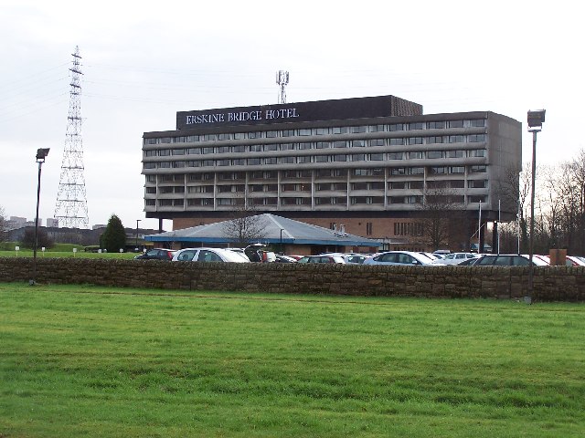
Erskine Bridge Hotel & Spa
The MGM Muthu Glasgow River Hotel, formerly the Erskine Bridge Hotel & Spa is situated on the banks of the River Clyde in Erskine, Renfrewshire. The hotel...

Old Kilpatrick railway station
Old Kilpatrick railway station was located in the village of Old Kilpatrick, Scotland on the Lanarkshire and Dunbartonshire Railway. The station opened...
Related Videos


Day 2 of 3 year old walking 120 miles
3 year old walking from Glasgow to Edinburgh and back 120 miles.
My Stay at Golden Jubilee Conference Hotel , Glasgow HD Video 29/11/23 #GoldenJubileeConferenceHotel
My Stay at Golden Jubilee Conference Hotel HD Video 29/11/23 Absolutely beautiful room and I was put in a Executive Room ...
Nearby Amenities
Located within 500m of 55.915754,-4.4679704Have you been to Boden Boo Plantation?
Leave your review of Boden Boo Plantation below (or comments, questions and feedback).