Bargate
Settlement in Derbyshire Amber Va
England
Bargate

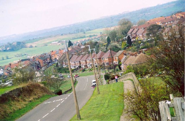
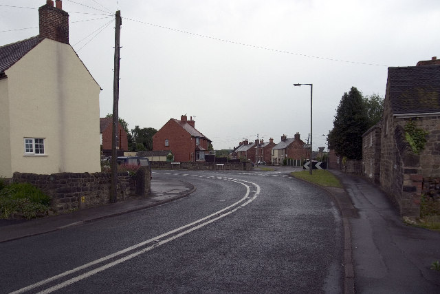
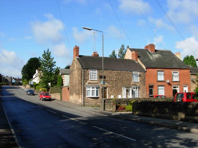
Bargate is a small village located in the county of Derbyshire, England. Situated near the town of Belper, it is part of the wider Amber Valley district. The village is nestled within the scenic Amber Valley, surrounded by rolling hills and picturesque countryside.
Bargate is known for its quaint and charming atmosphere, with many traditional stone-built houses and cottages lining its streets. The village retains much of its historical character, with some buildings dating back several centuries. One notable landmark is the Bargate House, a stunning Georgian property that stands as a testament to the village's rich heritage.
Despite its small size, Bargate has a strong sense of community, with a friendly and welcoming atmosphere. The village is home to a close-knit population who take pride in their surroundings and often organize local events and activities.
The natural beauty of the surrounding area provides ample opportunities for outdoor enthusiasts. There are several walking and cycling trails nearby, allowing residents and visitors to explore the stunning Derbyshire countryside. The nearby River Derwent also offers opportunities for fishing and boating.
Although Bargate itself is a quiet village, it benefits from its close proximity to larger towns and cities. Belper, just a short drive away, provides residents with access to a range of amenities, including shops, restaurants, and leisure facilities. The city of Derby is also within easy reach, offering further options for entertainment and employment. Overall, Bargate offers a peaceful and idyllic place to live, with the added advantage of being close to larger urban areas.
If you have any feedback on the listing, please let us know in the comments section below.
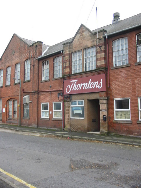
Bargate Images
Images are sourced within 2km of 53.014304/-1.4630823 or Grid Reference SK3646. Thanks to Geograph Open Source API. All images are credited.


Bargate is located at Grid Ref: SK3646 (Lat: 53.014304, Lng: -1.4630823)
Administrative County: Derbyshire
District: Amber Va
Police Authority: Derbyshire
What 3 Words
///unravel.pounding.dustbin. Near Belper, Derbyshire
Nearby Locations
Related Wikis

Bargate, Derbyshire
Bargate is a hamlet in Derbyshire, England. It is a linear settlement as it has only one main road running through it: Belper Road which becomes Sandbed...

Holbrook Sports F.C.
Holbrook Sports Football Club is a football club based in Holbrook, near Derby, Derbyshire, England. They are currently members of the Central Midlands...
Rowen House School
Rowen House was an independent British boarding school founded in 1979 in Belper, Derbyshire. The name was not a misspelling, but a reference to the Utopian...
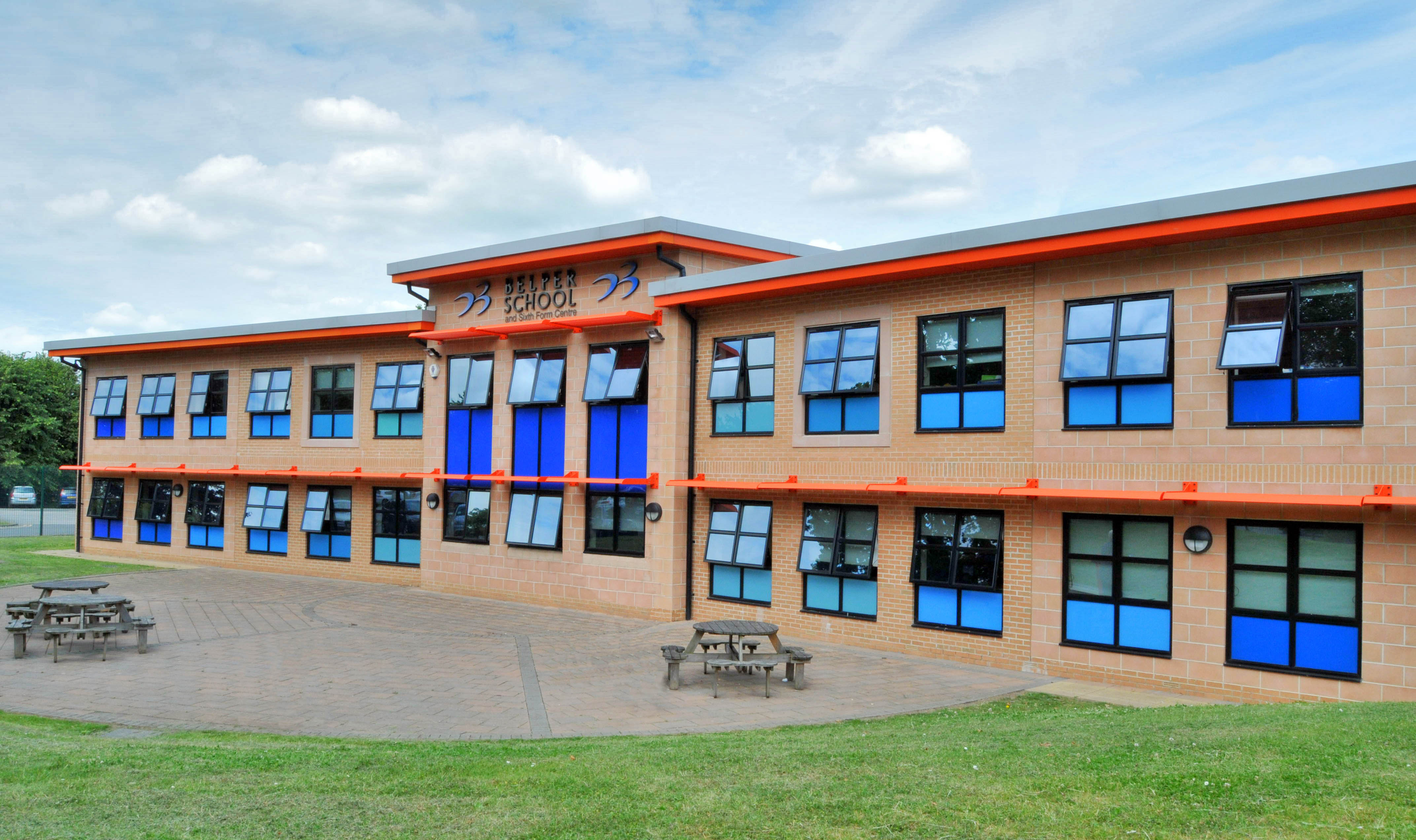
Belper School
Belper School and Sixth Form Centre is a foundation secondary school located in the north-east of Belper, Derbyshire, England. In October 2019, Ofsted...

Hopping Hill
Hopping Hill is an area in Milford, Derbyshire, England. It consists mainly of 19th century terraced housing, built by the Strutt family to house workers...

Holbrook, Derbyshire
Holbrook is a village in Derbyshire at the southern end of the Pennines around five miles north of Derby, England. The population of the civil parish at...
Holy Trinity Church, Milford
Holy Trinity Church, Milford is a former Grade II listed parish church in the Church of England situated in Milford, Derbyshire. == History == The architect...
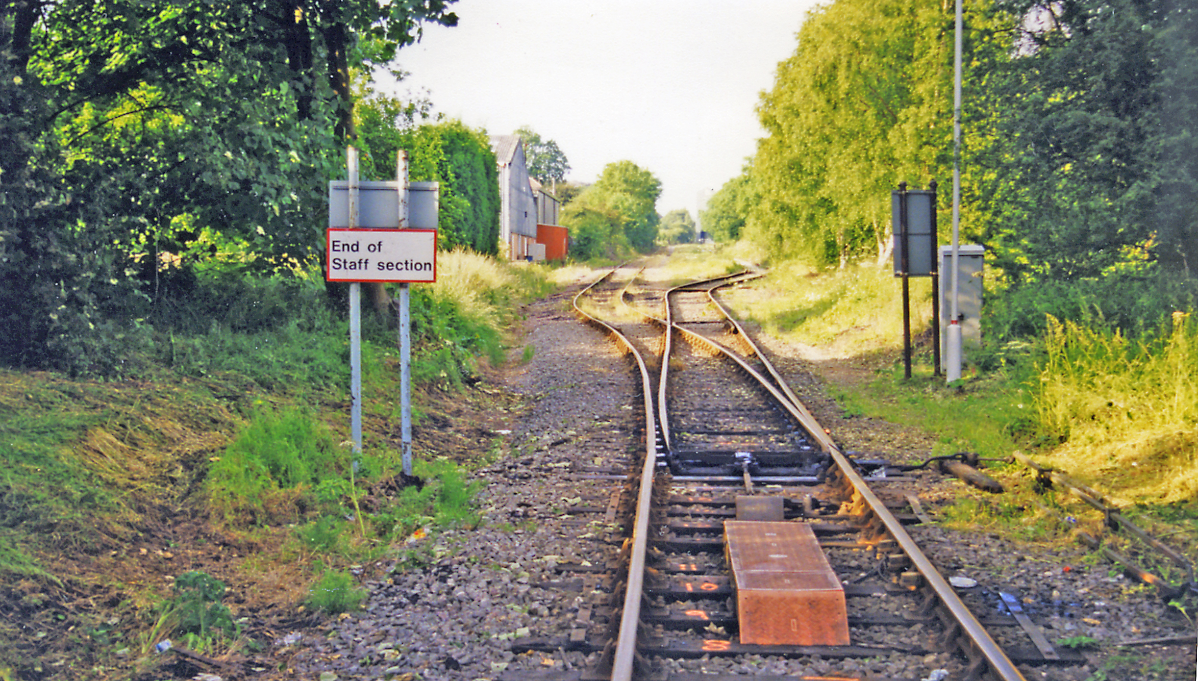
Kilburn railway station
Kilburn railway station was a railway station which served the village of Kilburn in Derbyshire, England. It was opened in 1856 by the Midland Railway...
Related Videos

Last minute walk.... #derbyshire #nature #hiking
Last minute late afternoon walk. it was a choice of sat on my backside at home or get some fresh air? I chose fresh air. So got on ...
I Made a Victorian Walking Skirt and It Wasn't Entirely Quick and Easy (An Ode to Perseverence)
Yes, I do still sew too - I'm quite good at it actually - and here it is... a year and a half after actually making and filming this project, ...

![BELPER | A look around Belper, Derbyshire [Is Belper worth visiting?]](https://i.ytimg.com/vi/rivlz0uN_BA/hqdefault.jpg)
BELPER | A look around Belper, Derbyshire [Is Belper worth visiting?]
BELPER | A look around Belper, Derbyshire [town centre walking tour] Is Belper worth visiting? Let's take a look and find out!
Nearby Amenities
Located within 500m of 53.014304,-1.4630823Have you been to Bargate?
Leave your review of Bargate below (or comments, questions and feedback).