Bargeddie
Settlement in Lanarkshire
Scotland
Bargeddie

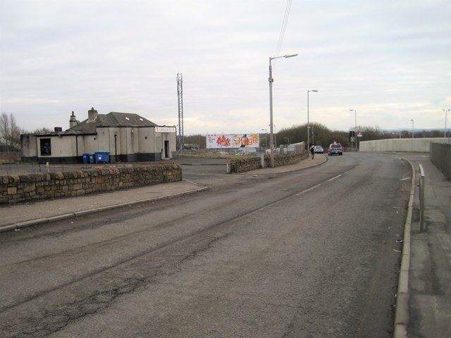
Bargeddie is a small village located in the North Lanarkshire region of Scotland. Situated approximately 10 miles east of Glasgow, it falls within the larger urban area of Coatbridge. The village is known for its industrial history and close proximity to nearby towns and cities.
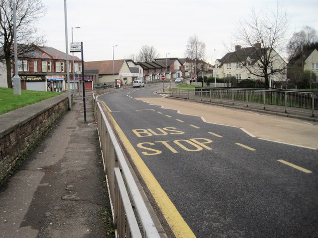
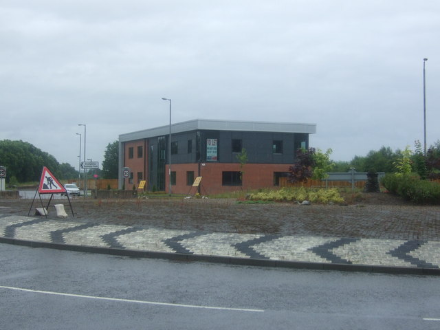
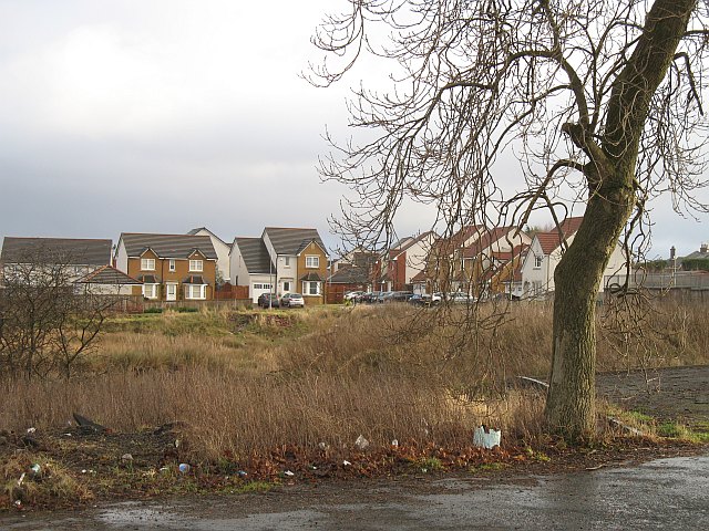
Bargeddie is primarily a residential area with a mix of housing styles, including traditional stone-built cottages and more modern developments. The village offers a range of amenities, such as a local convenience store, a post office, and a couple of pubs. There are also various parks and green spaces nearby, providing recreational opportunities for residents.
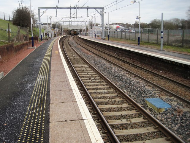
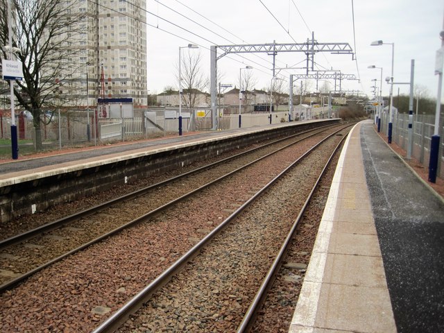
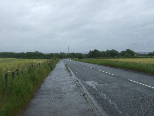
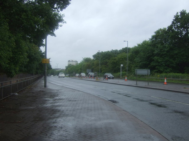
The village benefits from excellent transport links, with easy access to the M8 motorway and several major roads, making it an attractive location for commuters working in nearby towns and cities. Additionally, Bargeddie has its own train station, providing regular services to Glasgow and Edinburgh.
One notable feature of Bargeddie is Drumpellier Country Park, located just to the north of the village. This expansive park offers stunning scenery, woodland walks, and a large loch, attracting visitors from the surrounding areas.
Overall, Bargeddie is a charming village with a rich history and a strong sense of community. Its convenient location, range of amenities, and access to beautiful outdoor spaces make it an appealing place to live and visit.
If you have any feedback on the listing, please let us know in the comments section below.
Bargeddie Images
Images are sourced within 2km of 55.854476/-4.075129 or Grid Reference NS7064. Thanks to Geograph Open Source API. All images are credited.


Bargeddie is located at Grid Ref: NS7064 (Lat: 55.854476, Lng: -4.075129)
Unitary Authority: North Lanarkshire
Police Authority: Lanarkshire
What 3 Words
///shaped.leave.mixed. Near Bargeddie, North Lanarkshire
Nearby Locations
Related Wikis
Bargeddie
Bargeddie (; Scottish Gaelic: Bàrr Geadaidh) is a village in North Lanarkshire, Scotland, just inside the suburban fringe of Glasgow, 8 miles (13 km) east...
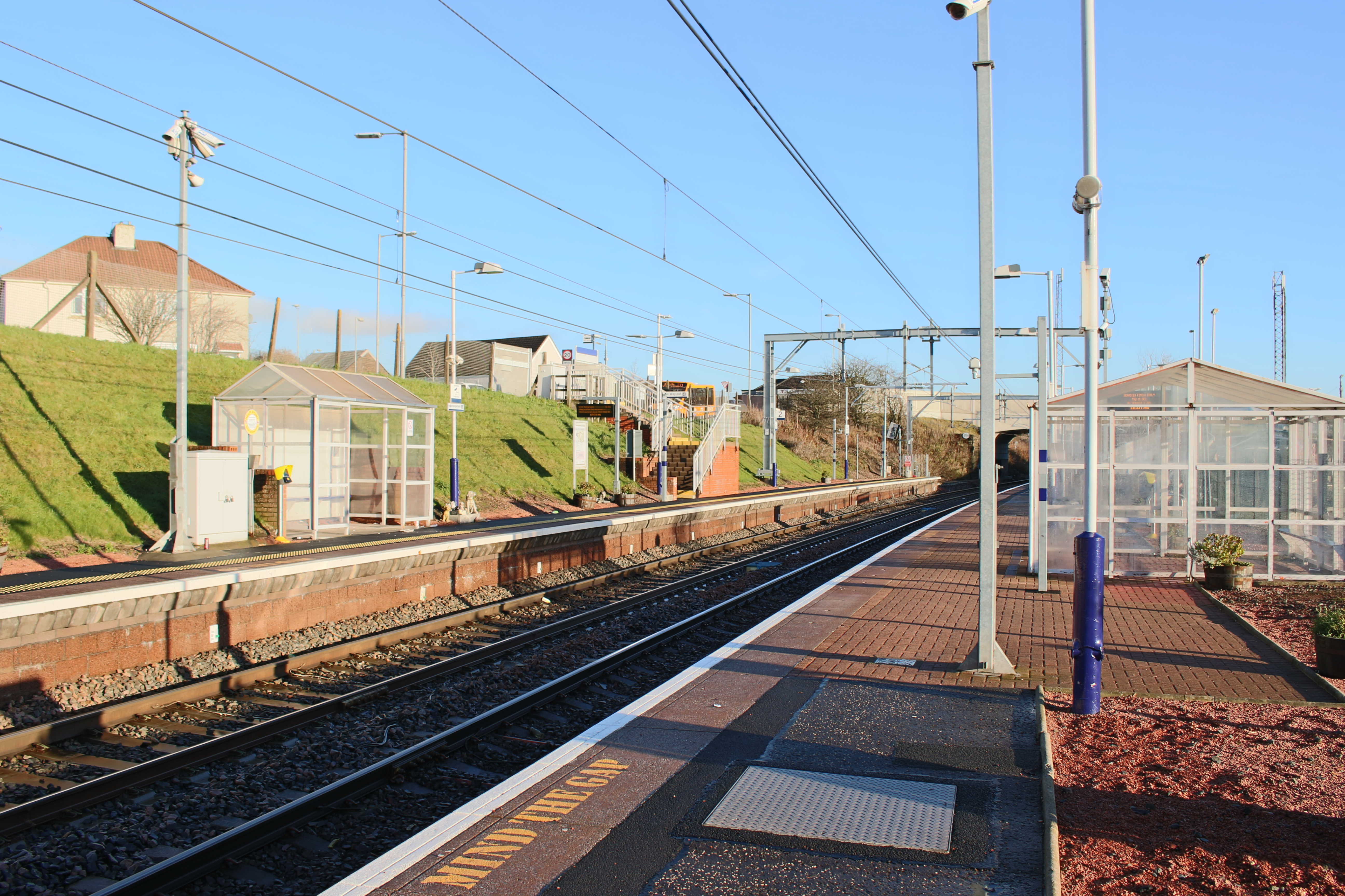
Bargeddie railway station
Bargeddie railway station is located in the village of Bargeddie, North Lanarkshire, Scotland, situated between the city of Glasgow and the town of Coatbridge...

Bargeddie railway station (North British Railway)
Bargeddie was a railway station in the village of Bargeddie, North Lanarkshire, Scotland. It was opened as Cuilhill, by the North British Railway on 1...
Drumpark School
Drumpark School was a school for children with special educational needs at Bargeddie just west of Coatbridge in North Lanarkshire, Scotland. In August...
Nearby Amenities
Located within 500m of 55.854476,-4.075129Have you been to Bargeddie?
Leave your review of Bargeddie below (or comments, questions and feedback).