The Hill
Hill, Mountain in Yorkshire Richmondshire
England
The Hill
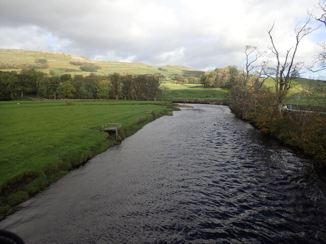
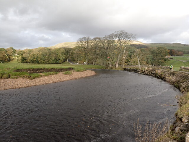
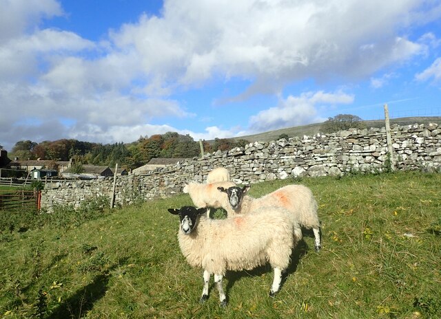
The Hill, located in Yorkshire, is a prominent landmark that stands as a testament to the region's natural beauty. Rising majestically above the surrounding landscape, this mountain showcases an awe-inspiring spectacle of nature's grandeur. With a height of approximately 2,000 feet, it offers breathtaking panoramic views that stretch as far as the eye can see.
The Hill is known for its rugged terrain, characterized by steep slopes and rocky outcrops. Its formation dates back millions of years, shaped by geological processes that have sculpted its distinctive features. The mountain is composed of a variety of rock types, including sandstone and limestone, which give it a unique texture and color palette.
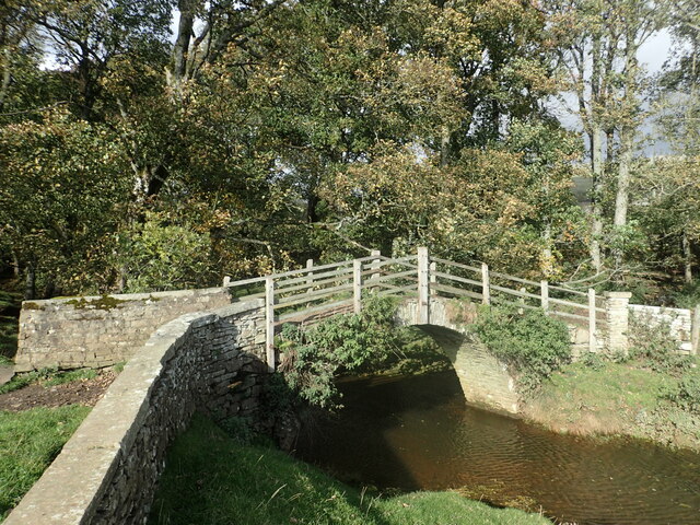
The summit of The Hill is a popular destination for hikers and outdoor enthusiasts. Its challenging trails cater to both experienced mountaineers and casual walkers, providing a range of options for exploration. As one ascends, they are rewarded with ever-expanding vistas, encompassing rolling hills, lush valleys, and quaint villages dotting the countryside.
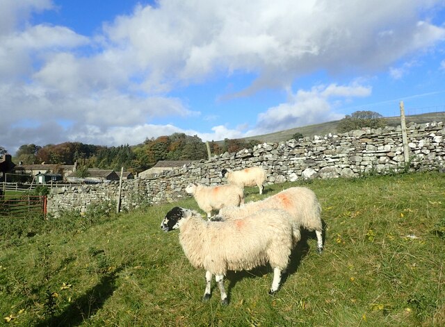
The Hill is also home to a diverse array of flora and fauna, with various plant species clinging to its slopes and valleys. Rare wildflowers and grasses can be found carpeting the mountain's lower reaches, while heather and bracken dominate the higher ground. Wildlife such as deer, foxes, and birds of prey inhabit the area, adding to its ecological significance.
For those seeking an immersive experience in Yorkshire's natural wonders, The Hill provides an opportunity to connect with nature and revel in its majesty. Its timeless beauty continues to captivate visitors, making it a cherished gem in the region's landscape.
If you have any feedback on the listing, please let us know in the comments section below.
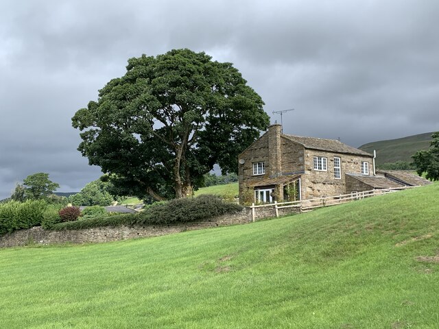
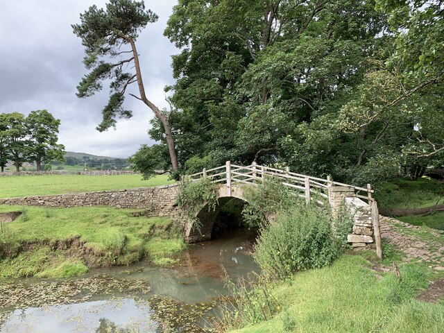
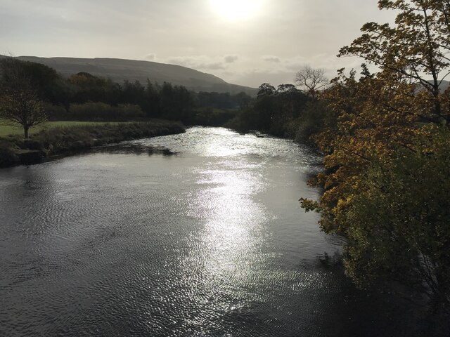
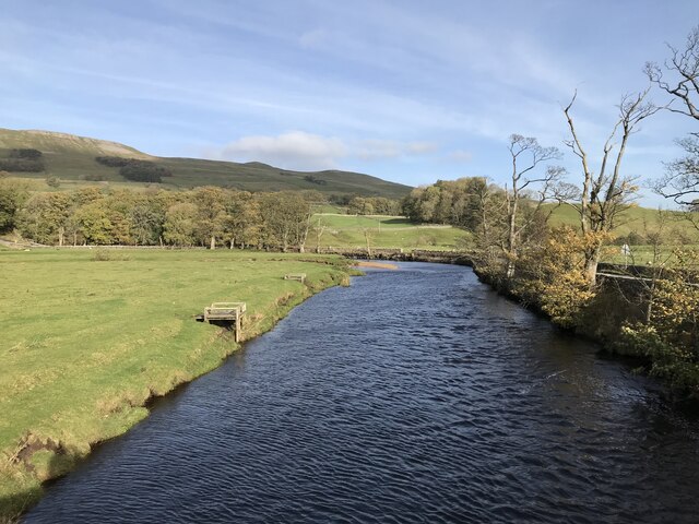
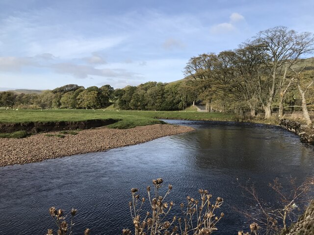
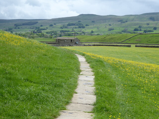
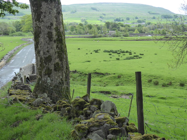
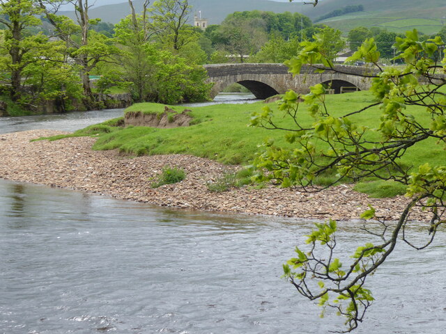
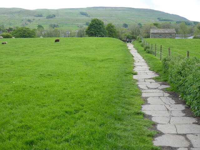
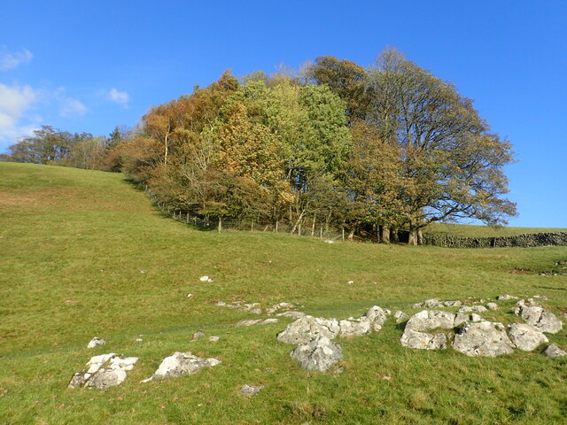
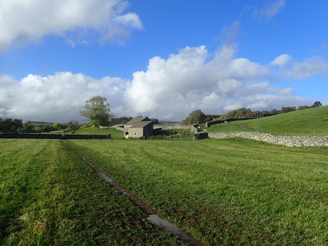
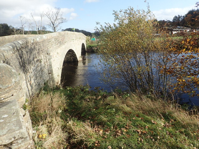
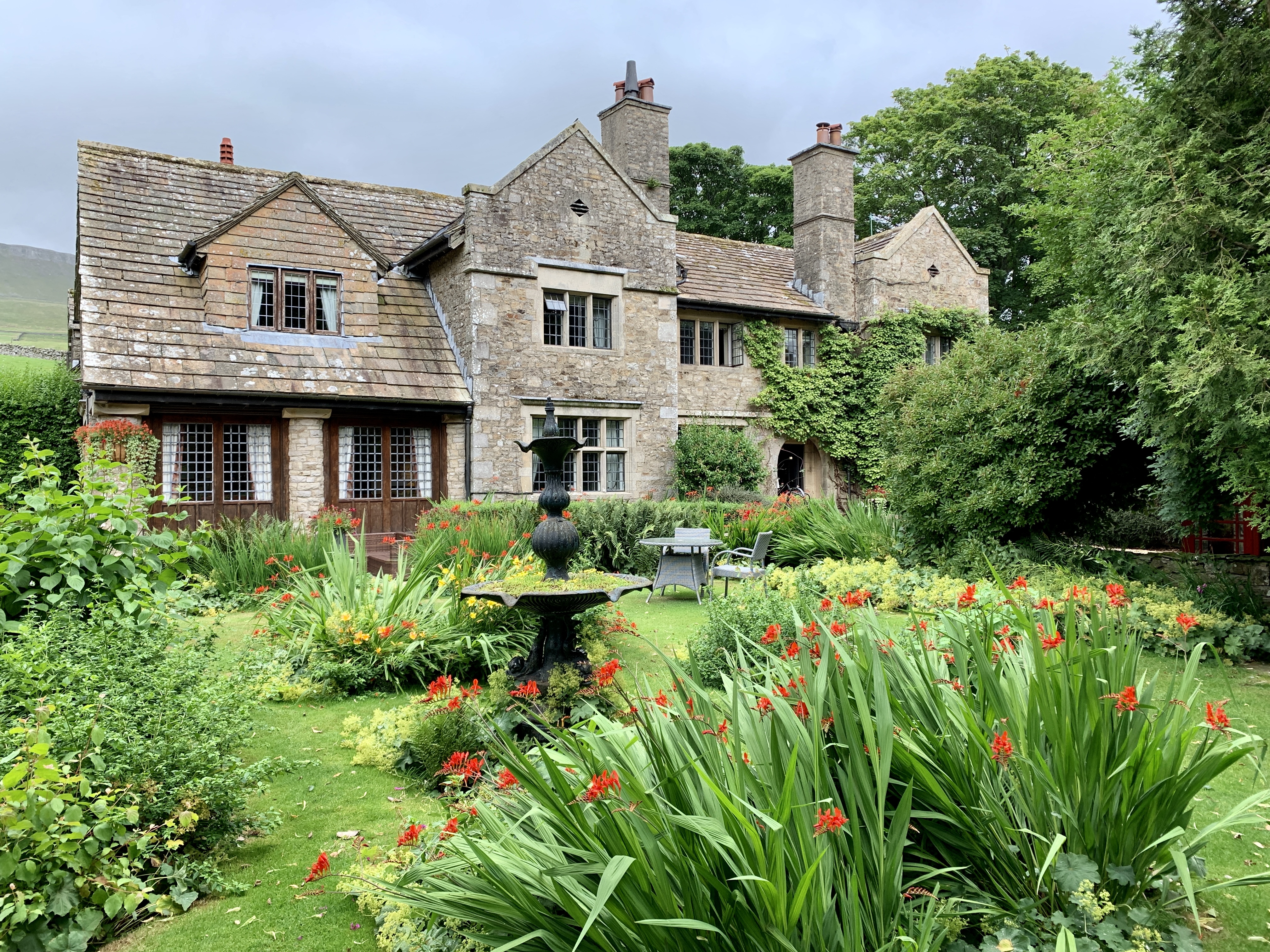
The Hill Images
Images are sourced within 2km of 54.297742/-2.2016166 or Grid Reference SD8689. Thanks to Geograph Open Source API. All images are credited.

The Hill is located at Grid Ref: SD8689 (Lat: 54.297742, Lng: -2.2016166)
Division: North Riding
Administrative County: North Yorkshire
District: Richmondshire
Police Authority: North Yorkshire
What 3 Words
///faced.duke.blackouts. Near Sedbergh, Cumbria
Related Wikis
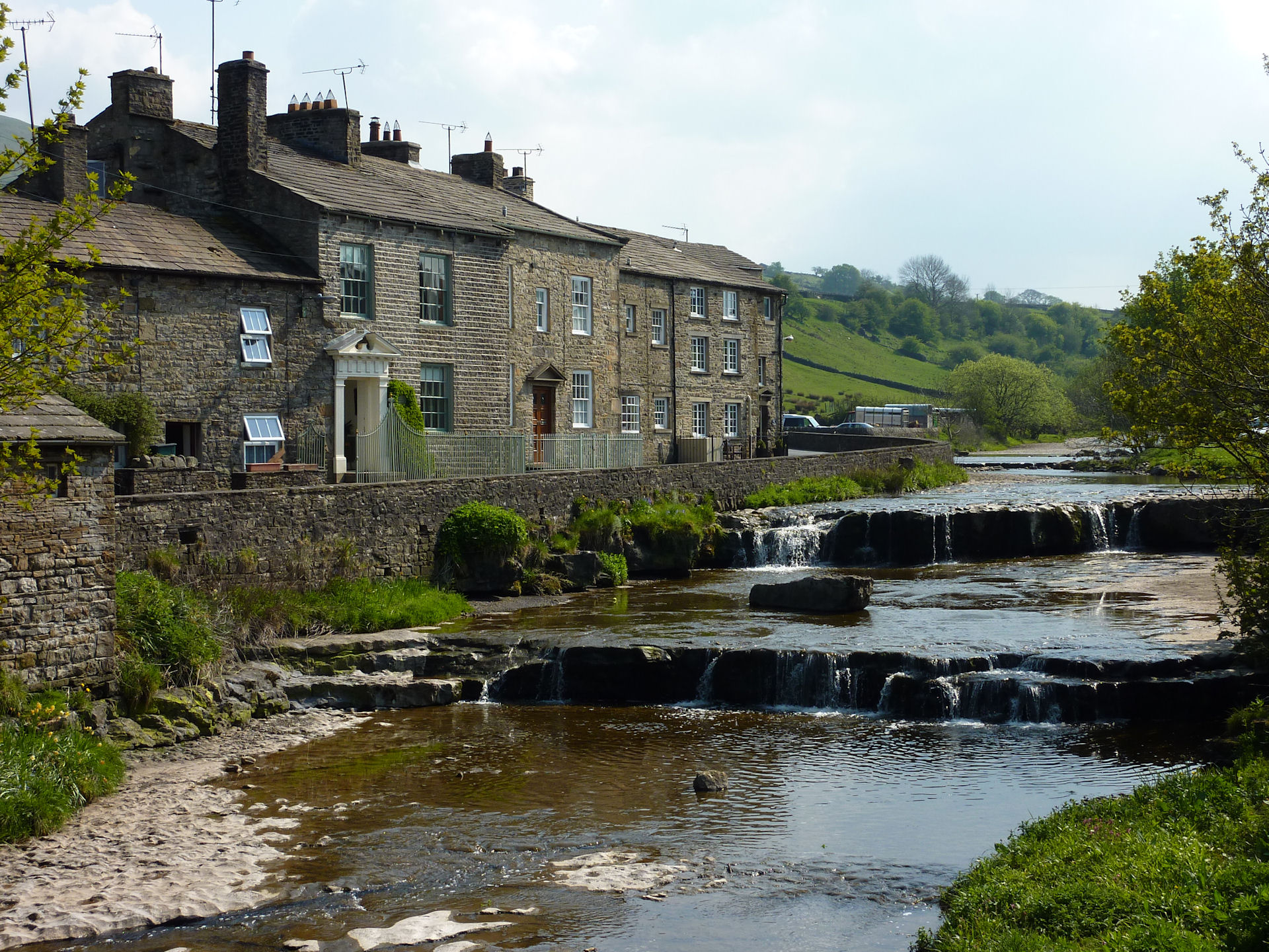
Gayle, North Yorkshire
Gayle is a hamlet 0.4-mile (0.64 km) south of Hawes in Wensleydale, North Yorkshire, England. It is noted for the beck that flows through it and the old...

Gayle Mill, North Yorkshire
Gayle Mill, dating from about 1784, is thought to be the oldest structurally unaltered cotton mill in existence. It is located in the Wensleydale hamlet...

St Margaret's Church, Hawes
St Margaret's Church is a Grade II listed parish church in the Church of England: 184 in Hawes, North Yorkshire. == History == Also known as Church of...

Hawes
Hawes is a market town and civil parish in North Yorkshire, England, at the head of Wensleydale in the Yorkshire Dales, and historically in the North Riding...
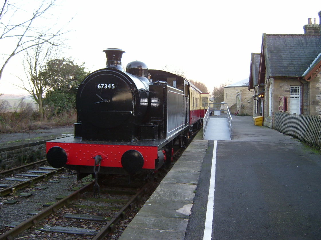
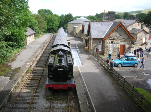
Hawes railway station
Hawes railway station is a disused railway station that served the town of Hawes in North Yorkshire, England. It was closed in 1959 and now forms part...
Dales Countryside Museum
The Dales Countryside Museum is a local museum for the Yorkshire Dales National Park in Northern England. Run by the National Park Authority, it tells...

Appersett
Appersett is a hamlet in the Yorkshire Dales in the Richmondshire district of North Yorkshire, England one mile (1.6 km) west of Hawes. It lies on the...
Stone House, Hawes
Stone House is a Grade II listed building in the civil parish of High Abbotside, near Hawes, North Yorkshire, England. == History == Stone House was built...
Related Videos

Hiking John O’ Groats to Land’s End | Daily Vlog | Day 34
Me and Di (my girlfriend) are hiking from John O' Groats to Land's End and wild camping all the way. This is a daily vlog of our ...
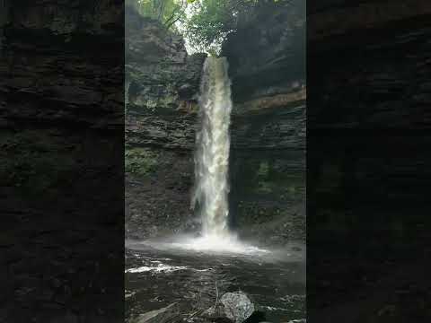

Motorhome. Herb Goes North Day 3. Walking Gayle to Asygill Force.
Short circular walk to Asygill Force "15metre drop waterfall" and a visit to the White Hart Inn for a pint of Beer.
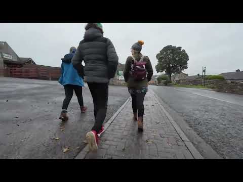
Footpath route from Bainbridge Ings Caravan site to Hawes
This is the footpath that takes you from Bainbridge Ings caravan site down into Hawes village.
Nearby Amenities
Located within 500m of 54.297742,-2.2016166Have you been to The Hill?
Leave your review of The Hill below (or comments, questions and feedback).