Buck Hill
Hill, Mountain in Yorkshire Richmondshire
England
Buck Hill
Buck Hill is a prominent natural feature located in the county of Yorkshire, England. It is part of the larger Pennines range, which stretches across Northern England. Standing at an elevation of 450 meters (1,480 feet), Buck Hill is considered a hill rather than a mountain due to its modest height.
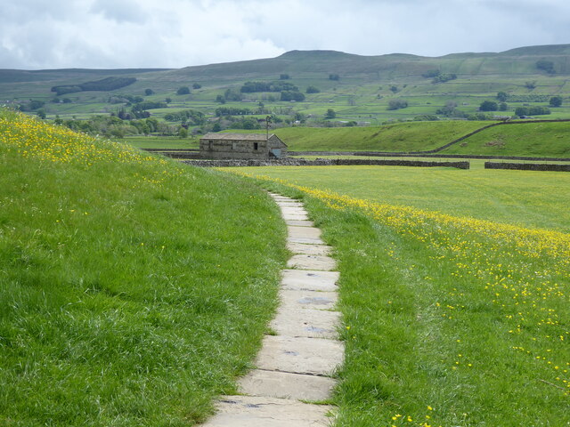
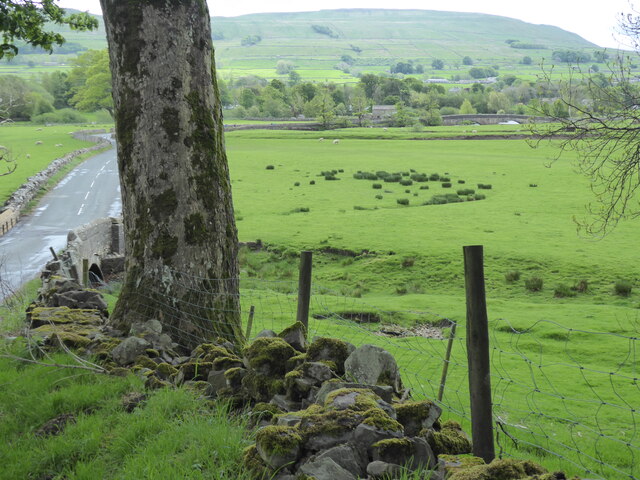
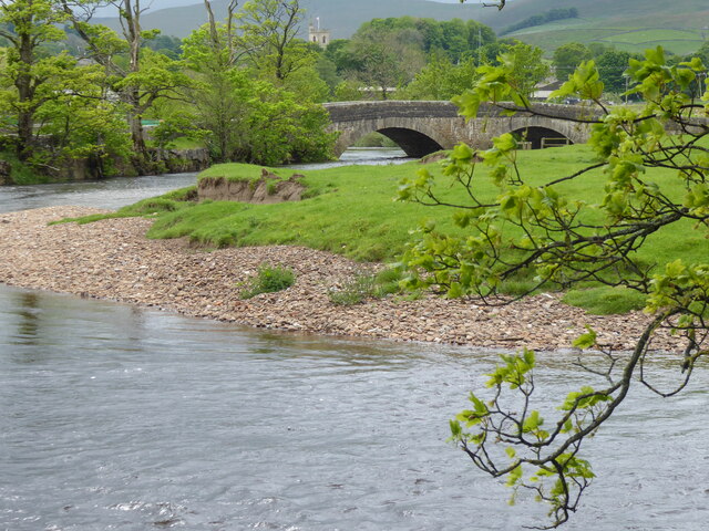
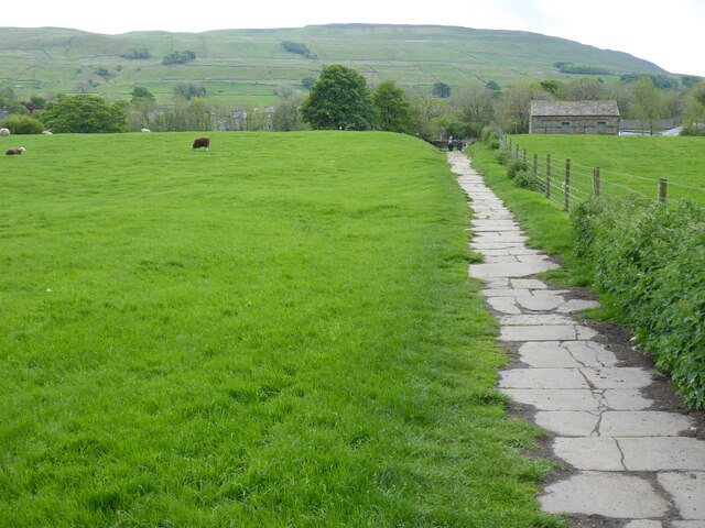
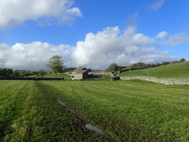
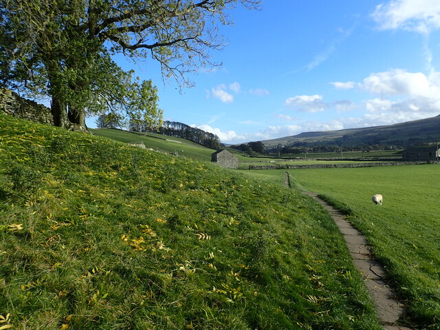
This picturesque hill is situated in the heart of Yorkshire, surrounded by rolling countryside and offering stunning panoramic views of the surrounding landscape. It is a popular destination for hikers, nature enthusiasts, and those seeking a peaceful retreat from the hustle and bustle of city life.
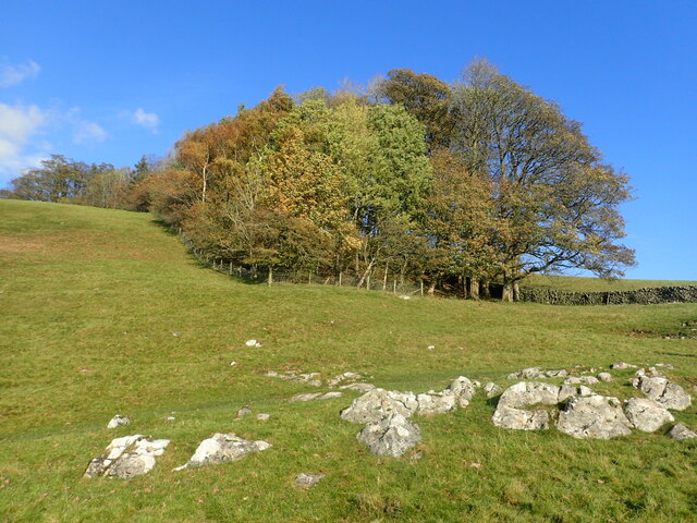
Buck Hill is known for its diverse flora and fauna, with an abundance of wildflowers, heather, and grasses covering its slopes. The hill is also home to a variety of wildlife, including birds such as peregrine falcons and curlews, as well as mammals like hares and foxes.
The hill is crisscrossed by a network of walking trails, providing visitors with the opportunity to explore its natural beauty. These trails range in difficulty, catering to both experienced hikers and casual walkers. One of the most popular routes is the Buck Hill Circular Walk, which takes visitors on a scenic journey around the hill, passing through woodlands, moorlands, and open fields.
Overall, Buck Hill is a captivating destination for nature lovers and outdoor enthusiasts, offering breathtaking views, diverse wildlife, and a tranquil atmosphere that is characteristic of the Yorkshire countryside.
If you have any feedback on the listing, please let us know in the comments section below.
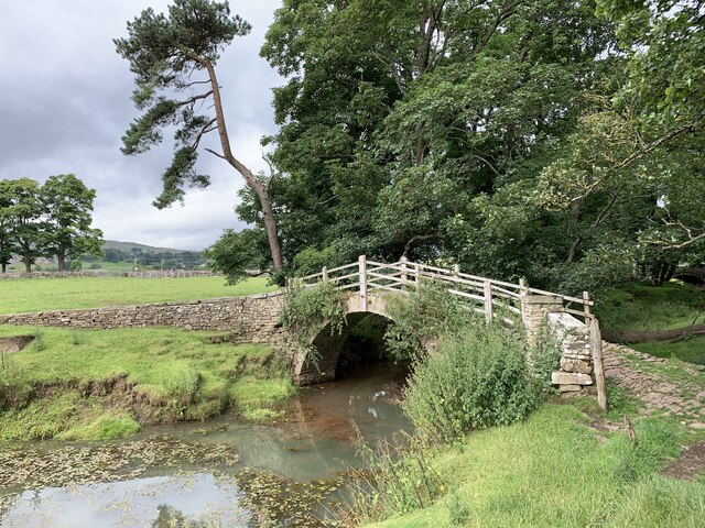
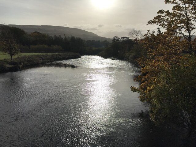
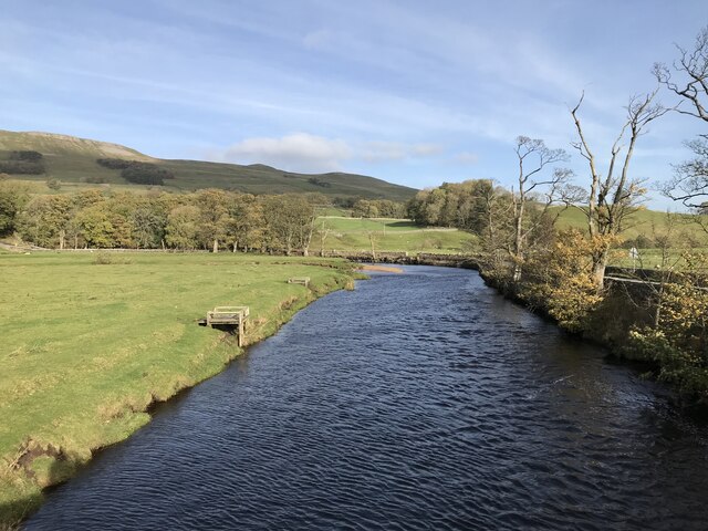
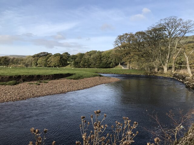
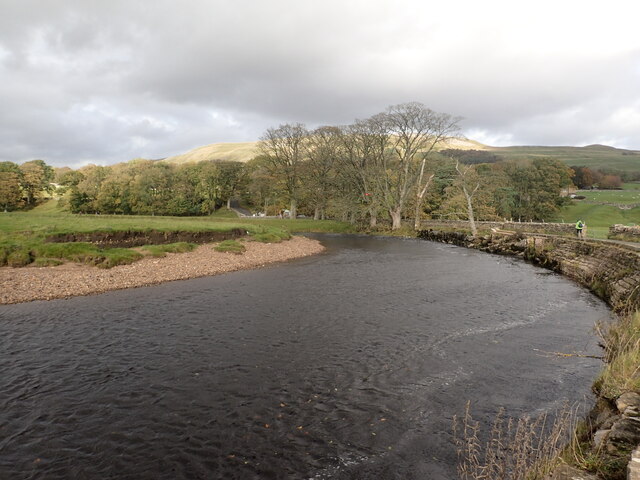
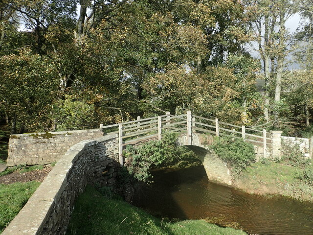
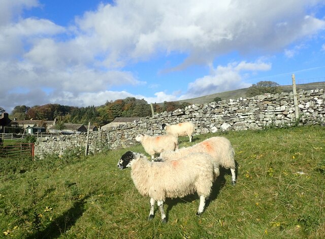
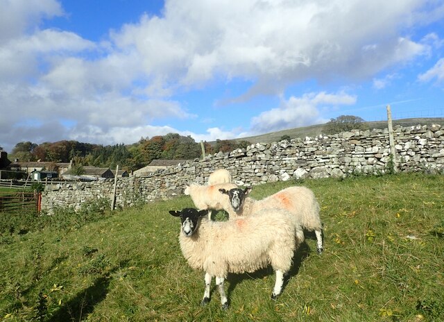
Buck Hill Images
Images are sourced within 2km of 54.297642/-2.2071629 or Grid Reference SD8689. Thanks to Geograph Open Source API. All images are credited.

Buck Hill is located at Grid Ref: SD8689 (Lat: 54.297642, Lng: -2.2071629)
Division: North Riding
Administrative County: North Yorkshire
District: Richmondshire
Police Authority: North Yorkshire
What 3 Words
///escorting.arrives.drive. Near Sedbergh, Cumbria
Related Wikis
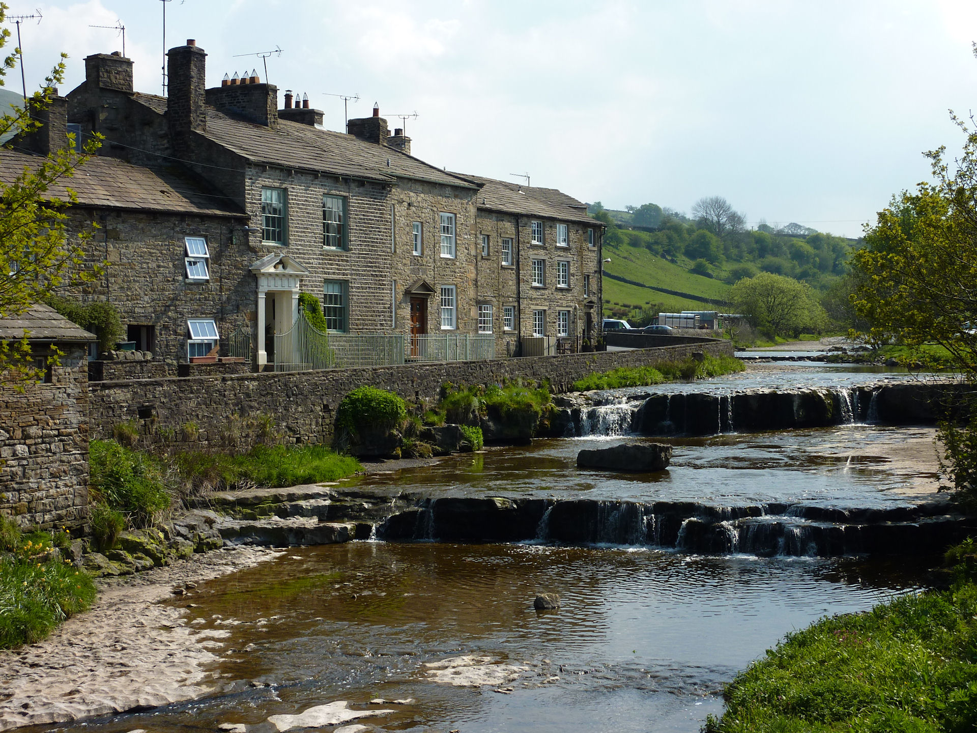
Gayle, North Yorkshire
Gayle is a hamlet 0.4-mile (0.64 km) south of Hawes in Wensleydale, North Yorkshire, England. It is noted for the beck that flows through it and the old...

Gayle Mill, North Yorkshire
Gayle Mill, dating from about 1784, is thought to be the oldest structurally unaltered cotton mill in existence. It is located in the Wensleydale hamlet...

St Margaret's Church, Hawes
St Margaret's Church is a Grade II listed parish church in the Church of England: 184 in Hawes, North Yorkshire. == History == Also known as Church of...

Hawes
Hawes is a market town and civil parish in North Yorkshire, England, at the head of Wensleydale in the Yorkshire Dales, and historically in the North Riding...
Nearby Amenities
Located within 500m of 54.297642,-2.2071629Have you been to Buck Hill?
Leave your review of Buck Hill below (or comments, questions and feedback).