Chick's Hill

Hill, Mountain in Dorset

England

Chick's Hill

Grazing near Bindon Mill
Grazing near Bindon Mill Credit: JThomas

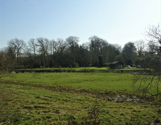
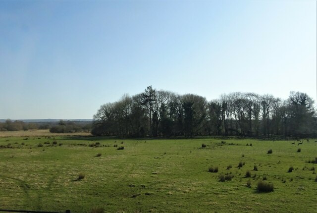
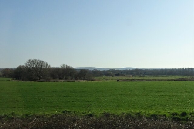
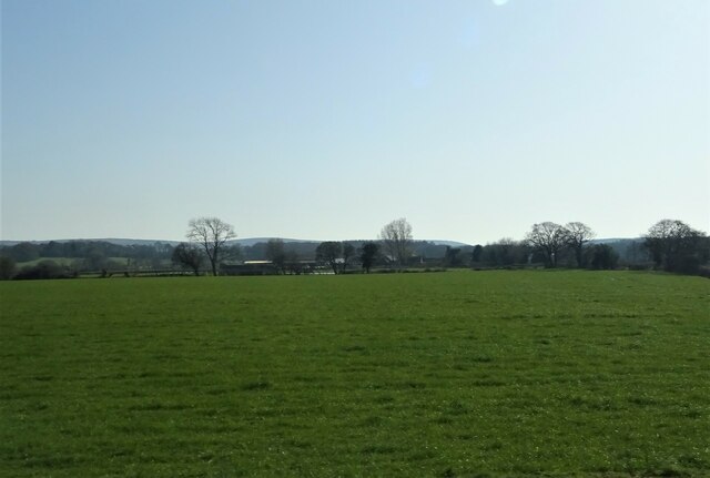
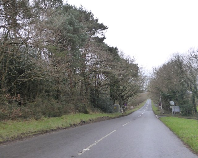
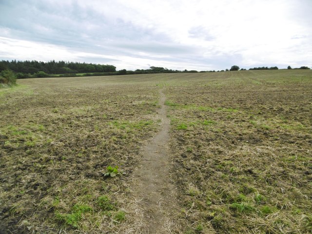
Chick's Hill is a prominent hill located in the county of Dorset, England. Situated near the village of Cerne Abbas, it is a well-known landmark in the region. With an elevation of approximately 200 meters (656 feet), Chick's Hill is not classified as a mountain but rather a hill.

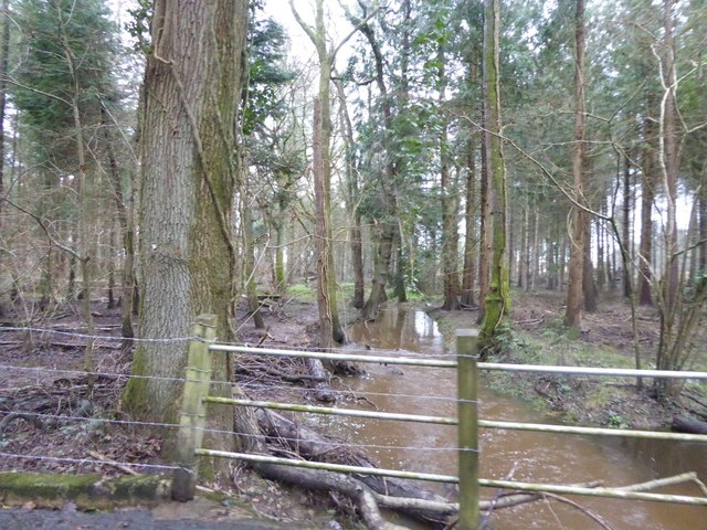
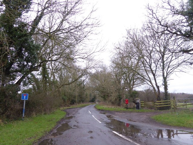
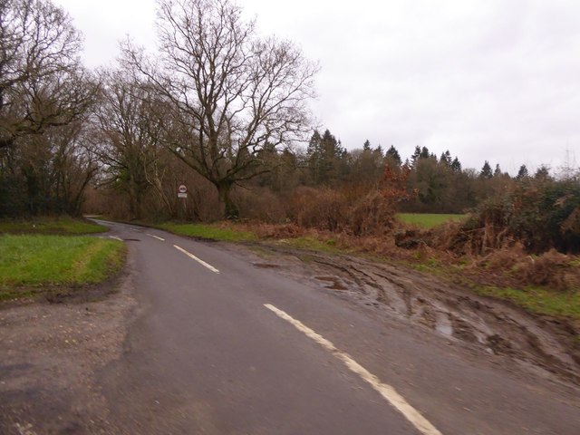
The hill is characterized by its gentle slopes and lush greenery, making it a popular spot for outdoor activities such as hiking and walking. Its location near the village provides visitors with stunning views of the surrounding countryside, including the nearby Cerne Valley.

One of the notable features of Chick's Hill is the presence of the famous Cerne Abbas Giant, an ancient chalk figure carved into the hillside. This giant, believed to be a symbol of fertility, is an iconic attraction for both locals and tourists alike.

Chick's Hill is also known for its rich history, with archaeological evidence suggesting that it has been inhabited since the Neolithic period. The hill is dotted with several ancient burial mounds, indicating its significance as a sacred site in ancient times.

In addition to its natural and historical attractions, Chick's Hill offers a peaceful and tranquil environment for visitors to enjoy. Its picturesque surroundings and serene atmosphere make it an ideal destination for those seeking a break from the hustle and bustle of everyday life.

Overall, Chick's Hill in Dorset is a captivating destination that combines natural beauty, historical significance, and a sense of tranquility, making it a must-visit location for anyone exploring the region.

If you have any feedback on the listing, please let us know in the comments section below.
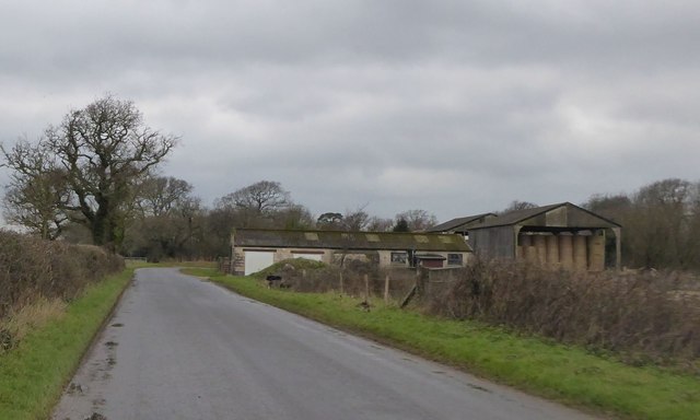
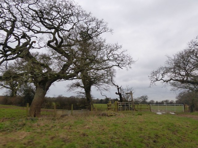
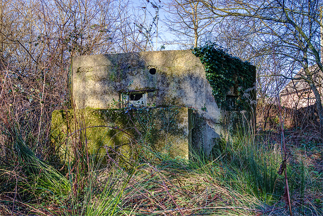
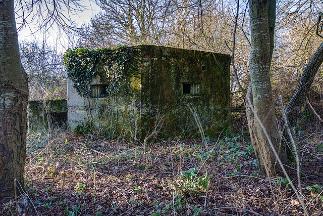
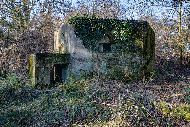
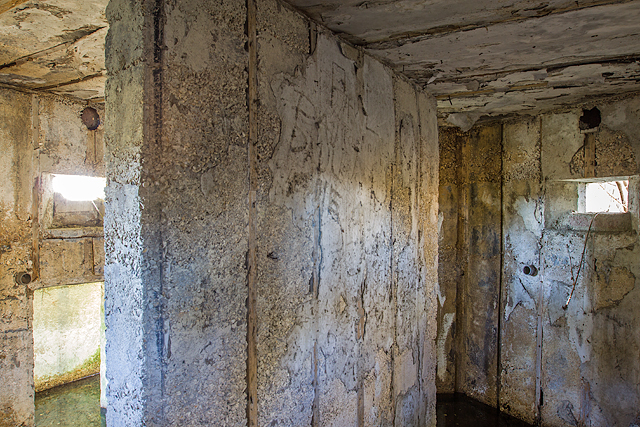
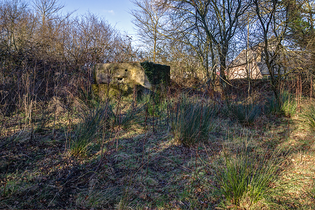
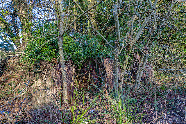
Chick's Hill Images

Images are sourced within 2km of 50.672251/-2.1890091 or Grid Reference SY8685. Thanks to Geograph Open Source API. All images are credited.

Grazing near Bindon Mill
Grazing and woodland, East Stoke
Grazing, East Stoke
Grazing, East Stoke
Grazing towards Rushton Farm
B3070 to West Lulworth A straight road that crosses West Holme Heath
B3070 to West Lulworth
A straight road that crosses West Holme Heath
Stream in the woods north of Highwood Heath A muddy stream after a spell of heavy rain
Stream in the woods north of Highwood Heath
A muddy stream after a spell of heavy rain
Crossroads south of East Stoke
No through road serving Highwood and nearby farms
A muddy lay-by off Bindon Lane This is at a junction of Bindon Lane and the road south to Woodstreet Farm
A muddy lay-by off Bindon Lane
This is at a junction of Bindon Lane and the road south to Woodstreet Farm
Buildings at Bindon Farm
Footpath sign at Bindon Farm The footpath follows an old track to join with others between Cole Wood and Wool
Footpath sign at Bindon Farm
The footpath follows an old track to join with others between Cole Wood and Wool
Defending Dorset in 1940: the Maiden Newton - Poole Harbour Stop Line (75) -
Pillbox (type FW3/22): DoB ID: e11693

East Stoke - Stokeford - Type 22 Pillbox.  This pillbox alongside the main A352 Wool to Wareham road, is strategically located alongside a ruined ammunition store at a road junction, just to the north of the Dorchester to Poole railway and the River Frome. It has a particularly interesting feature that was uncovered in 2010 when members of the PSG set about clearing trees and other encroached vegetation that had surrounded it. The work uncovered evidence that the roof had been provided with the means to break up the outline of the pillbox with a disguise. A hole was uncovered in the centre that could have accommodated a pole from which wires presumably were suspended leading to securing bolts that still survive at each of the six corners. This could have supported a canvas or other covering stretched over the wires to form a conical type "roof". Note the fume vent hole above the embrasure, and the protected entrance. The pillbox appears to have been built entirely of concrete.

<a href="https://www.geograph.org.uk/photo/4842434">SY8787 : Defending Dorset in 1940: the Maiden Newton - Poole Harbour Stop Line (76)</a>
Defending Dorset in 1940: the Maiden Newton - Poole Harbour Stop Line (75)
- Pillbox (type FW3/22): DoB ID: e11693 East Stoke - Stokeford - Type 22 Pillbox. This pillbox alongside the main A352 Wool to Wareham road, is strategically located alongside a ruined ammunition store at a road junction, just to the north of the Dorchester to Poole railway and the River Frome. It has a particularly interesting feature that was uncovered in 2010 when members of the PSG set about clearing trees and other encroached vegetation that had surrounded it. The work uncovered evidence that the roof had been provided with the means to break up the outline of the pillbox with a disguise. A hole was uncovered in the centre that could have accommodated a pole from which wires presumably were suspended leading to securing bolts that still survive at each of the six corners. This could have supported a canvas or other covering stretched over the wires to form a conical type "roof". Note the fume vent hole above the embrasure, and the protected entrance. The pillbox appears to have been built entirely of concrete. SY8787 : Defending Dorset in 1940: the Maiden Newton - Poole Harbour Stop Line (76)
Defending Dorset in 1940: the Maiden Newton - Poole Harbour Stop Line (76) -
Pillbox (type FW3/22): DoB ID: e11693

East Stoke - Stokeford - Type 22 Pillbox.  A view from a different angle showing two of the embrasures complete with large fume vent holes above.

<a href="https://www.geograph.org.uk/photo/4842438">SY8787 : Defending Dorset in 1940: the Maiden Newton - Poole Harbour Stop Line (77)</a>
Defending Dorset in 1940: the Maiden Newton - Poole Harbour Stop Line (76)
- Pillbox (type FW3/22): DoB ID: e11693 East Stoke - Stokeford - Type 22 Pillbox. A view from a different angle showing two of the embrasures complete with large fume vent holes above. SY8787 : Defending Dorset in 1940: the Maiden Newton - Poole Harbour Stop Line (77)
Defending Dorset in 1940: the Maiden Newton - Poole Harbour Stop Line (77) -
Pillbox (type FW3/22): DoB ID: e11693

East Stoke - Stokeford - Type 22 Pillbox. A view towards the protected entrance that requires a crouched attitude in order to gain access. Once inside however, there is plenty of headroom.

<a href="https://www.geograph.org.uk/photo/4842442">SY8787 : Defending Dorset in 1940: the Maiden Newton - Poole Harbour Stop Line (78)</a>
Defending Dorset in 1940: the Maiden Newton - Poole Harbour Stop Line (77)
- Pillbox (type FW3/22): DoB ID: e11693 East Stoke - Stokeford - Type 22 Pillbox. A view towards the protected entrance that requires a crouched attitude in order to gain access. Once inside however, there is plenty of headroom. SY8787 : Defending Dorset in 1940: the Maiden Newton - Poole Harbour Stop Line (78)
Defending Dorset in 1940: the Maiden Newton - Poole Harbour Stop Line (78) -
Pillbox (type FW3/22): DoB ID: e11693

East Stoke - Stokeford - Type 22 Pillbox.  The interior view reveals a shuttered concrete finish to the walls, ceiling, and blast wall. The two embrasures have fume vent holes, and also below them, short inset sections of scaffold tubing that would have supported some kind of shelf or table, presumably supports for weapons.

<a href="https://www.geograph.org.uk/photo/4842444">SY8787 : Defending Dorset in 1940: the Maiden Newton - Poole Harbour Stop Line (79)</a>
Defending Dorset in 1940: the Maiden Newton - Poole Harbour Stop Line (78)
- Pillbox (type FW3/22): DoB ID: e11693 East Stoke - Stokeford - Type 22 Pillbox. The interior view reveals a shuttered concrete finish to the walls, ceiling, and blast wall. The two embrasures have fume vent holes, and also below them, short inset sections of scaffold tubing that would have supported some kind of shelf or table, presumably supports for weapons. SY8787 : Defending Dorset in 1940: the Maiden Newton - Poole Harbour Stop Line (79)
Defending Dorset in 1940: the Maiden Newton - Poole Harbour Stop Line (79) -
Pillbox (type FW3/22): DoB ID: e11693

East Stoke - Stokeford - Type 22 Pillbox.  A contextual view of this pillbox beside the A352 that covered the railway and River Frome to the south.

<a href="https://www.geograph.org.uk/photo/4842445">SY8787 : Defending Dorset in 1940: the Maiden Newton - Poole Harbour Stop Line (80)</a>
Defending Dorset in 1940: the Maiden Newton - Poole Harbour Stop Line (79)
- Pillbox (type FW3/22): DoB ID: e11693 East Stoke - Stokeford - Type 22 Pillbox. A contextual view of this pillbox beside the A352 that covered the railway and River Frome to the south. SY8787 : Defending Dorset in 1940: the Maiden Newton - Poole Harbour Stop Line (80)
Defending Dorset in 1940: the Maiden Newton - Poole Harbour Stop Line (80) -
Ammunition Store: DoB ID: e10316

East Stoke - Stokeford - Home Guard Ammunition Store.  Adjacent to the type 22 pillbox are the dilapidated remains of a Nissen hut that served as a Home Guard ammunition store.

<a href="https://www.geograph.org.uk/photo/4842453">SY9287 : Defending Dorset in 1940: the Maiden Newton - Poole Harbour Stop Line (81)</a>
Defending Dorset in 1940: the Maiden Newton - Poole Harbour Stop Line (80)
- Ammunition Store: DoB ID: e10316 East Stoke - Stokeford - Home Guard Ammunition Store. Adjacent to the type 22 pillbox are the dilapidated remains of a Nissen hut that served as a Home Guard ammunition store. SY9287 : Defending Dorset in 1940: the Maiden Newton - Poole Harbour Stop Line (81)
Wool, footpath Across a ploughed field, up Quarr Hill towards Wood Street.
Wool, footpath
Across a ploughed field, up Quarr Hill towards Wood Street.
Show me another place!

Chick's Hill is located at Grid Ref: SY8685 (Lat: 50.672251, Lng: -2.1890091)

Unitary Authority: Dorset

Police Authority: Dorset

What 3 Words

///pursuing.property.opened. Near Wool, Dorset

Related Wikis

East Stoke, Dorset

East Stoke is a village in the English county of Dorset. It lies three miles west of the small town of Wareham and two miles east of Wool. In 2013 the...

Wool, Dorset

Wool is a large village, civil parish and electoral ward in south Dorset, England. In the 2011 census the parish – which includes Bovington Camp army base...

Bindon Abbey

Bindon Abbey (Bindonium) was a Cistercian monastery, of which only ruins remain, on the River Frome about half a mile east of Wool in the Purbeck District...

Wool railway station

Wool railway station serves the village of Wool in Dorset, England. It is on the South West Main Line, 125 miles 69 chains (202.6 km) down the line from...

Woolbridge Manor House

Woolbridge Manor is a 17th-century manor house just outside the village of Wool, in Dorset, England. English Heritage have designated it a Grade II* listed...

East Holme

East Holme is a small village and civil parish situated about halfway between Wool and Wareham in Dorset, England. The village is sprawled around a large...

Coombe Keynes

Coombe Keynes is a hamlet, civil parish and depopulated village in the Purbeck district of Dorset, England. The village is about 2 miles (3 km) south of...

Worgret Heath

Worgret Heath SSSI, Dorset (grid reference SY895871) is an 8.4 hectare biological Site of Special Scientific Interest in Dorset, notified in 1987.The site...

Nearby Amenities

Located within 500m of 50.672251,-2.1890091
Material: wood
Power: pole
Source: bing
Lat/Long: 50.6695949/-2.1942459
Material: wood
Power: pole
Source: bing
Transformer: distribution
Lat/Long: 50.6701399/-2.194407
Material: wood
Power: pole
Source: bing
Lat/Long: 50.6734026/-2.1934365
Material: wood
Power: pole
Source: bing
Lat/Long: 50.673685/-2.1934235
Material: wood
Power: pole
Source: bing
Transformer: distribution
Lat/Long: 50.6741713/-2.1933967
Material: wood
Power: pole
Source: bing
Lat/Long: 50.674657/-2.1909548
Material: wood
Power: pole
Source: bing
Lat/Long: 50.6748252/-2.1901079
Material: wood
Power: pole
Source: bing
Lat/Long: 50.6749996/-2.1891949
Material: wood
Power: pole
Source: bing
Lat/Long: 50.6751773/-2.1872535
Material: wood
Power: pole
Source: survey
Switch: mechanical
Lat/Long: 50.6753738/-2.1853299
Fire Hydrant
Emergency: fire_hydrant
Fire Hydrant Type: underground
Fixme: Position aproximate
Source: GPS+GLONASS
Lat/Long: 50.674894/-2.1926166
Highwood
Place: hamlet
Lat/Long: 50.6710914/-2.191149
Highwood Farm
Place: farm
Lat/Long: 50.6708534/-2.1940029
Inglewood Farm
Place: farm
Lat/Long: 50.6741647/-2.1906019
Chicks Hill
Place: locality
Source: OS-OpenData_StreetView
Lat/Long: 50.6727336/-2.1859687
Addr Housename: Essenjays
Source: survey
Lat/Long: 50.6735973/-2.1929473
Addr Housename: Broad House
Source: survey
Lat/Long: 50.6735998/-2.1929728
Fire Hydrant
Emergency: fire_hydrant
Fire Hydrant Diameter: 75
Fire Hydrant Type: underground
Ref: ?039
Lat/Long: 50.6733185/-2.1844178
Power: pole
Source: bing
Lat/Long: 50.6743129/-2.1927059
Fire Hydrant
Emergency: fire_hydrant
Fire Hydrant Diameter: 75
Fire Hydrant Type: underground
Ref: 2324
Source: survey
Lat/Long: 50.674575/-2.190287
The data included in this document is from www.openstreetmap.org. The data is made available under ODbL.

Have you been to Chick's Hill?

Leave your review of Chick's Hill below (or comments, questions and feedback).