Dark Hill
Hill, Mountain in Yorkshire Pendle
England
Dark Hill
Dark Hill is a prominent landmark located in the county of Yorkshire, England. Standing tall at an elevation of approximately 450 meters, it is classified as a hill rather than a mountain due to its relatively modest height. Situated within the picturesque North York Moors National Park, Dark Hill offers breathtaking panoramic views of the surrounding countryside.
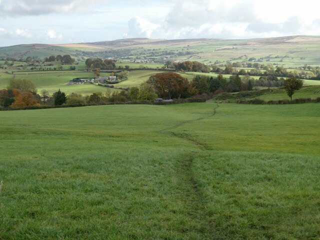
The hill is characterized by its rugged terrain, covered in heather moorland and scattered with rocky outcrops. It is a popular destination for hikers and outdoor enthusiasts, who are drawn to its challenging trails and natural beauty. The hill's steep slopes and undulating landscape provide a sense of adventure for those seeking an exhilarating climb.
Dark Hill is also known for its rich history and cultural significance. It is believed to have been inhabited since prehistoric times, with evidence of ancient settlements and burial mounds found in the vicinity. The hill has witnessed various historical events, including battles and conflicts, leaving behind remnants of fortifications and defensive structures.
Visitors to Dark Hill can explore the surrounding area, which is home to a diverse range of flora and fauna. The hill provides a habitat for species such as curlews, lapwings, and meadow pipits, making it a haven for birdwatchers and nature enthusiasts. The tranquility and solitude offered by Dark Hill's remote location make it an ideal spot for those seeking solace in nature.
In conclusion, Dark Hill is a captivating landmark in Yorkshire, offering a combination of natural beauty, challenging terrain, and historical significance. Whether it's for a leisurely hike or an exploration of the area's rich heritage, Dark Hill is a must-visit destination for anyone seeking an authentic Yorkshire experience.
If you have any feedback on the listing, please let us know in the comments section below.
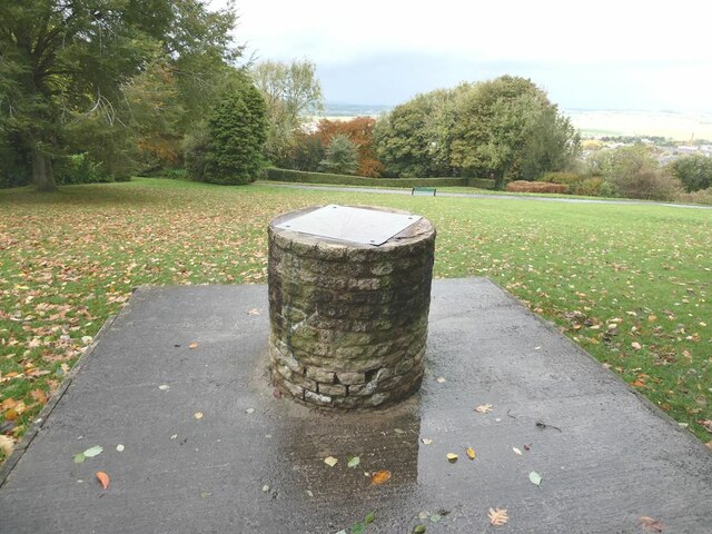
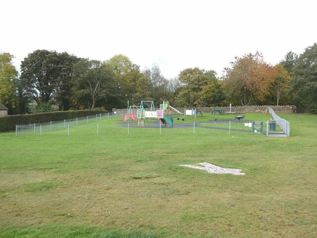
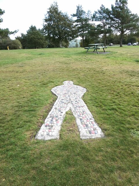
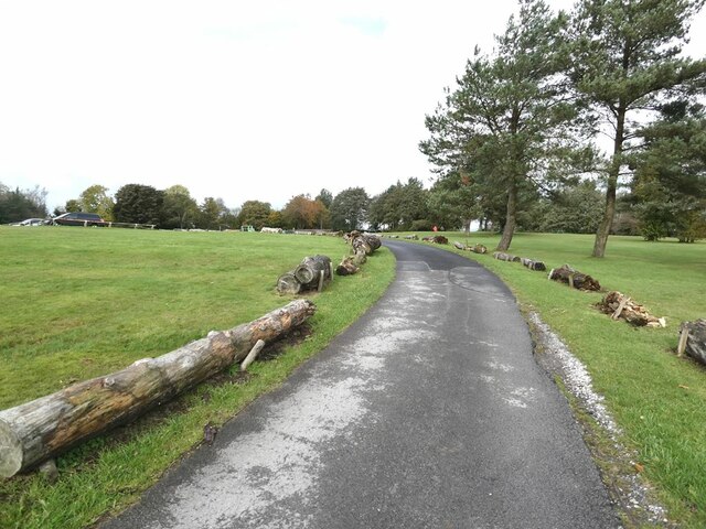
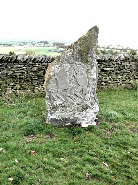
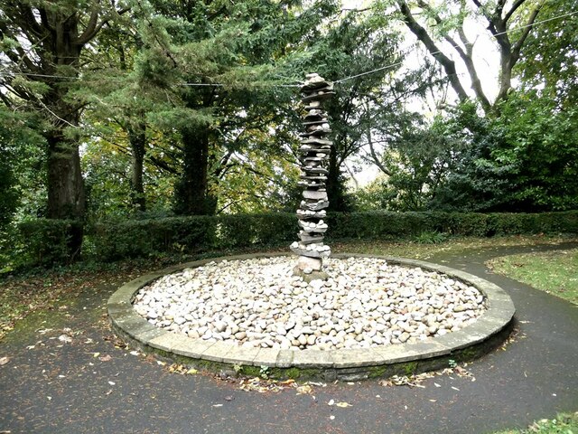
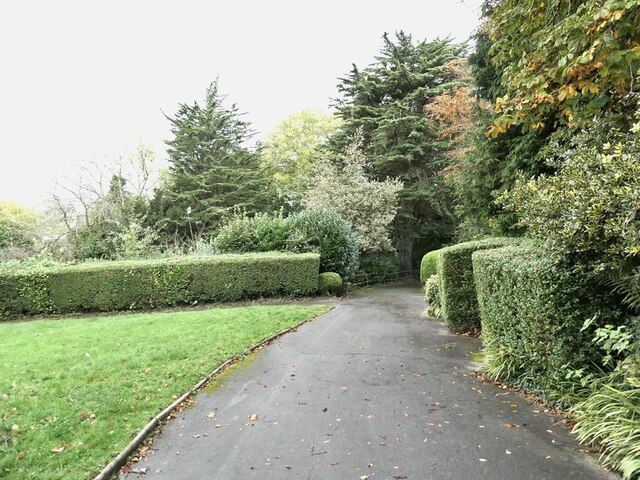
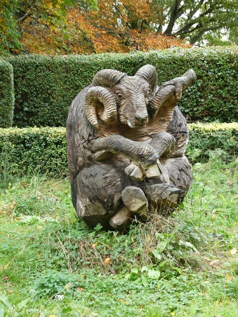
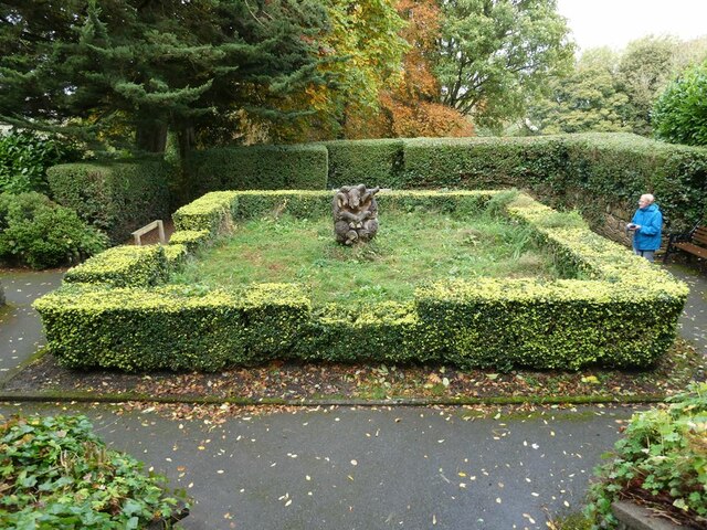
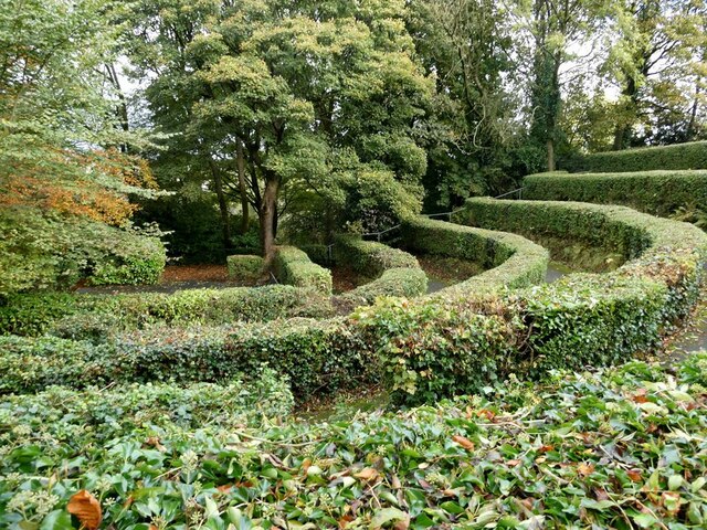
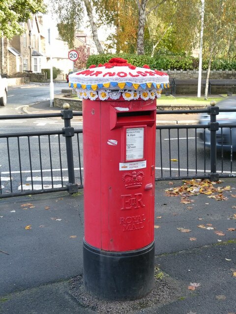
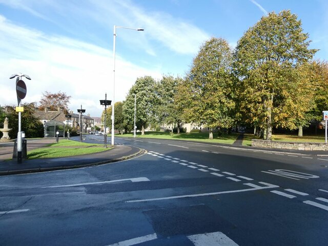
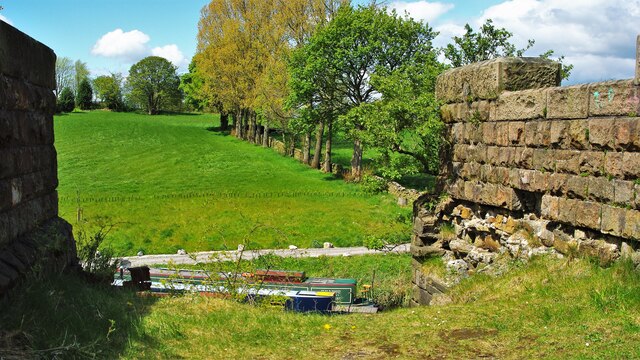
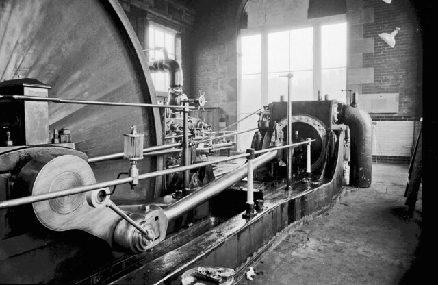
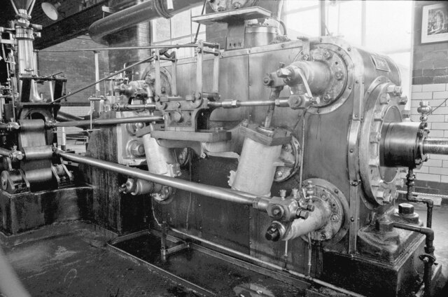
Dark Hill Images
Images are sourced within 2km of 53.914053/-2.2035675 or Grid Reference SD8646. Thanks to Geograph Open Source API. All images are credited.


Dark Hill is located at Grid Ref: SD8646 (Lat: 53.914053, Lng: -2.2035675)
Division: West Riding
Administrative County: Lancashire
District: Pendle
Police Authority: Lancashire
What 3 Words
///absorbing.hooks.body. Near Barnoldswick, Lancashire
Nearby Locations
Related Wikis
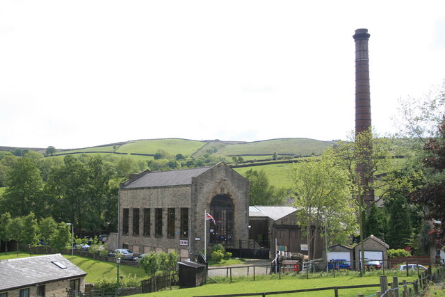
Bancroft Shed
Bancroft Shed was a weaving shed in Barnoldswick, Lancashire, England, situated on the road to Skipton. Construction was started in 1914 and the shed was...
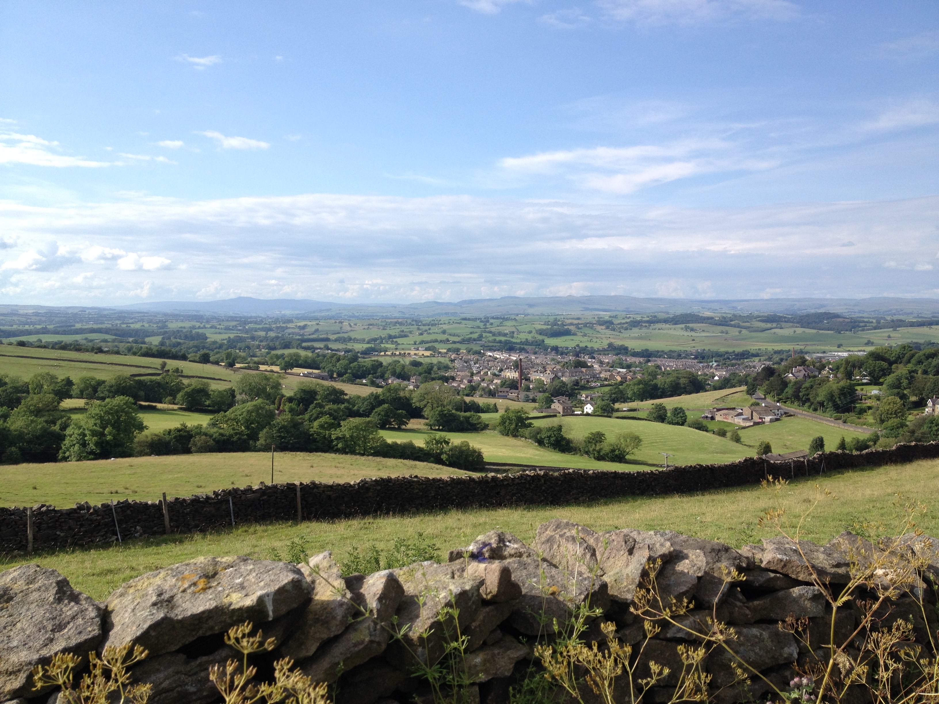
Barnoldswick
Barnoldswick (pronounced ) is a market town and civil parish in the Borough of Pendle, in the administrative county of Lancashire, England. It is within...

Barnoldswick railway station
Barnoldswick railway station was the only railway station on the Midland Railway's 1-mile-64-chain (2.9 km) long Barnoldswick Branch in the West Riding...

Barnoldswick Town F.C.
Barnoldswick Town Football Club is a football club based in Barnoldswick, Lancashire, England. They are currently members of the North West Counties League...

West Craven High School, Barnoldswick
West Craven High School is a mixed 11 to 16 comprehensive school in Barnoldswick, Lancashire, England. == School history == Funding to update the school...
West Craven
West Craven is an area in the east of Lancashire, England in the far northern part of the borough of Pendle. Historically the area was within the ancient...

Weets Hill
Weets Hill is a hill in the West Craven area of Pendle, Lancashire, England. It is 2+1⁄2 miles (4.0 km) south-west of the town of Barnoldswick and is 4...

St Michael's Church, Bracewell
St Michael's Church is in Bracewell Lane, Bracewell, Lancashire, England. It is an active Anglican parish church in the deanery of Skipton, the archdeaconry...
Nearby Amenities
Located within 500m of 53.914053,-2.2035675Have you been to Dark Hill?
Leave your review of Dark Hill below (or comments, questions and feedback).