Keld
Settlement in Yorkshire Richmondshire
England
Keld
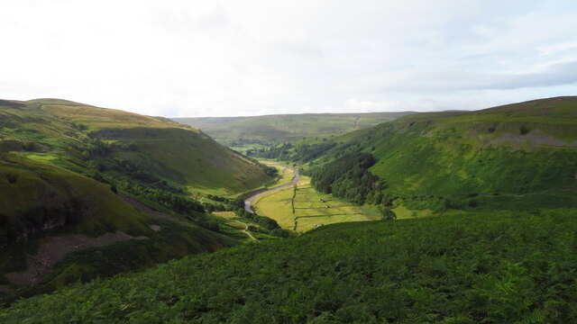
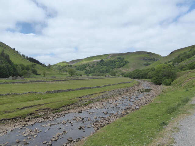
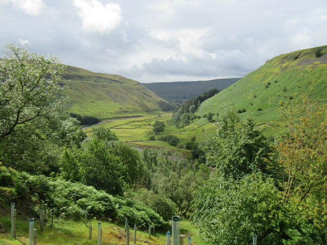
Keld is a small village located in the district of Yorkshire Dales, North Yorkshire, England. Situated in the heart of the Yorkshire Dales National Park, it is surrounded by picturesque landscapes, making it a popular destination for nature lovers and outdoor enthusiasts.
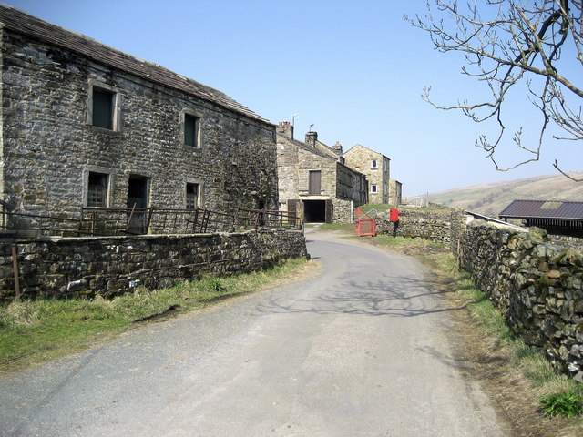
The village itself is home to a tight-knit community, with a population of around 100 residents. It is characterized by traditional stone-built houses, giving it a charming and rustic atmosphere. Keld is known for its tranquility and offers a peaceful retreat away from the hustle and bustle of city life.
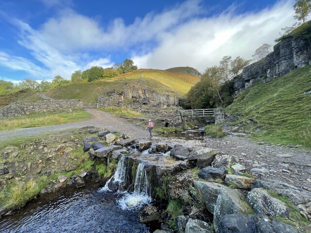
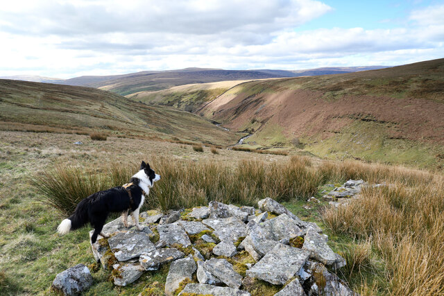
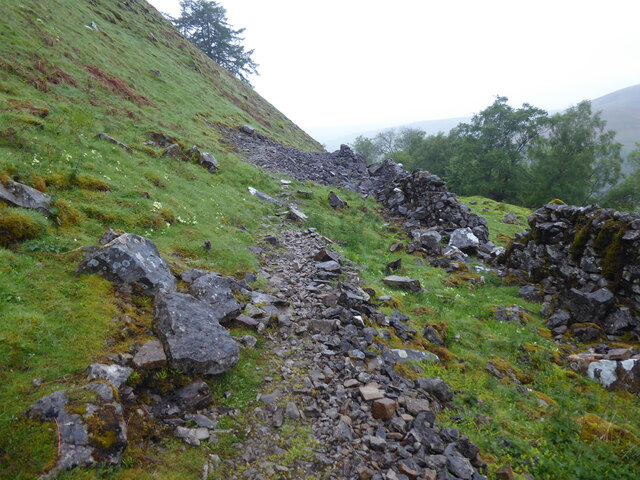
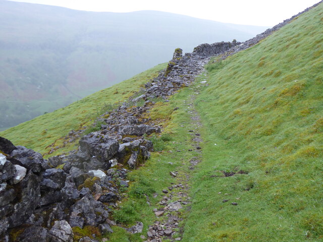
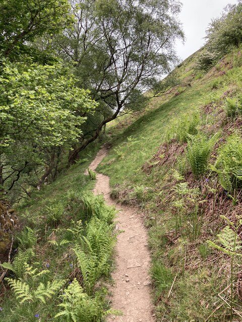
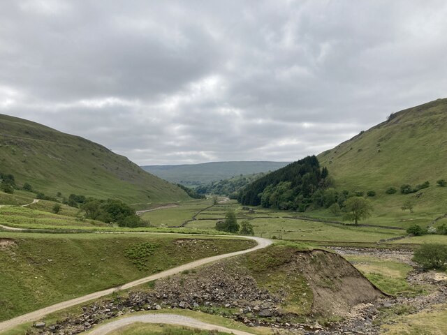
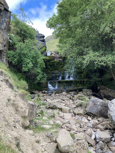
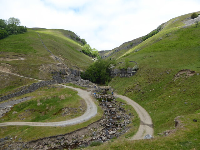
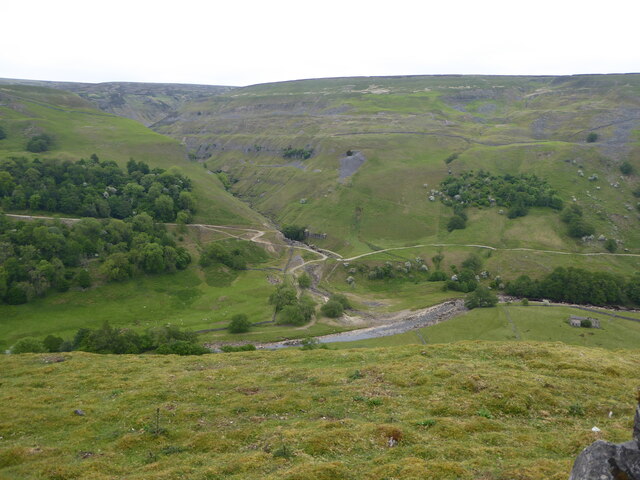
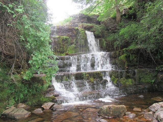
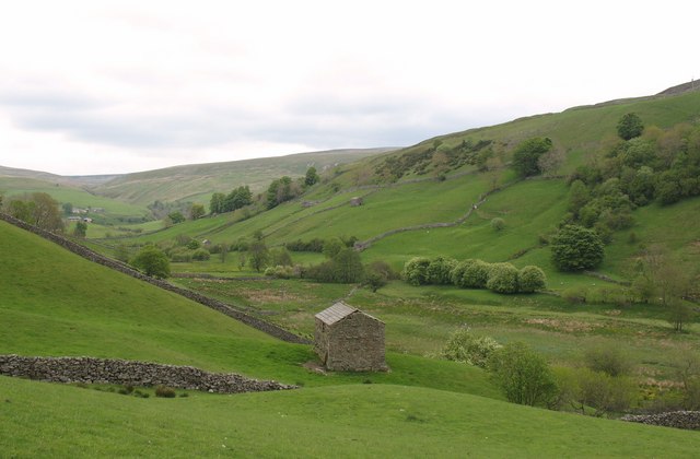
One of the main attractions in Keld is its stunning natural surroundings. The village is located at the meeting point of two major long-distance footpaths, the Pennine Way and the Coast to Coast Walk, making it an ideal base for hikers exploring the area. Nearby, there are also several beautiful waterfalls, including the famous East Gill Force, which cascades down a series of limestone steps.
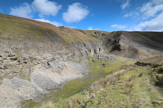
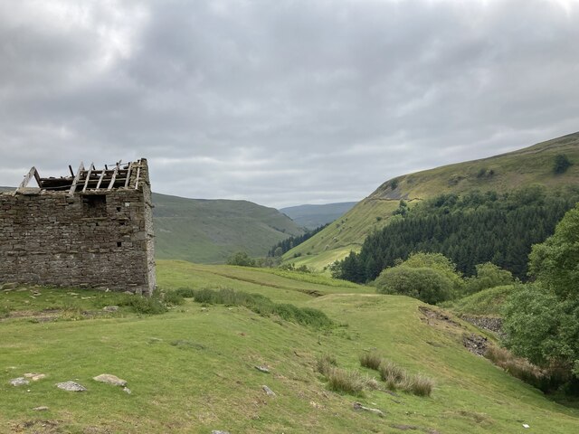
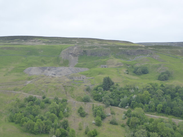
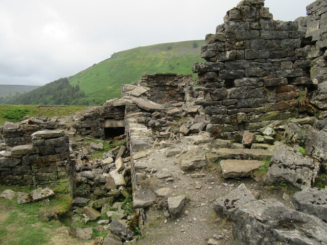
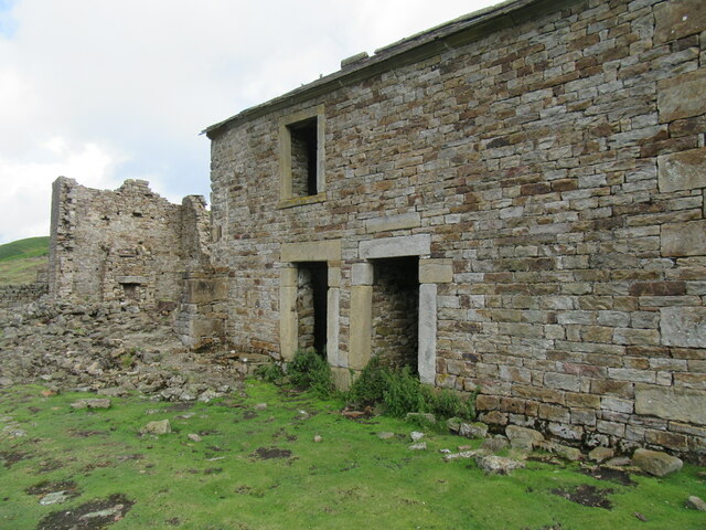
Keld also boasts a rich history, with evidence of human settlement dating back to the Stone Age. The village was once a center for lead mining during the 18th and 19th centuries, and remnants of these industrial activities can still be seen in the area.
In terms of amenities, Keld offers a few guesthouses, a tea room, and a small shop, providing basic necessities for both locals and visitors. Overall, Keld is a charming and idyllic village that offers a unique and peaceful experience for those seeking natural beauty and a sense of history in the heart of Yorkshire.
If you have any feedback on the listing, please let us know in the comments section below.
Keld Images
Images are sourced within 2km of 54.406064/-2.167582 or Grid Reference NY8901. Thanks to Geograph Open Source API. All images are credited.
Keld is located at Grid Ref: NY8901 (Lat: 54.406064, Lng: -2.167582)
Division: North Riding
Administrative County: North Yorkshire
District: Richmondshire
Police Authority: North Yorkshire
What 3 Words
///develops.strongly.momentous. Near Kirkby Stephen, Cumbria
Nearby Locations
Related Wikis

Keld, North Yorkshire
Keld is a village in the English county of North Yorkshire. It is in Swaledale, and the Yorkshire Dales National Park. The name derives from the Viking...

East Gill Force
East Gill Force is a waterfall in Swaledale, 330 yards (300 m) east of the hamlet of Keld, in the Yorkshire Dales National Park, North Yorkshire, England...

Catrake Force
Catrake Force is a waterfall on the River Swale in North Yorkshire, England. It is not visible from the road but is accessible via a campsite in Keld....

Kisdon Force
Kisdon Force is a series of waterfalls on the River Swale in Swaledale, England. The falls are situated within the Yorkshire Dales National Park in the...

Wain Wath Force
Wain Wath Force is a waterfall on the River Swale in the Yorkshire Dales National Park, North Yorkshire, England. The falls are at grid reference NY883015...
West Stonesdale
West Stonesdale is a hamlet in the Yorkshire Dales, North Yorkshire, England. The secluded village is near Keld to the south, Tan Hill to the north and...
Angram Bottoms
Angram Bottoms (grid reference SD891999) is a 9.8 hectares (24 acres) biological Site of Special Scientific Interest (SSSI) near to the village of Angram...

Kisdon
Kisdon, also called Kisdon Hill, is a fell situated in upper Swaledale in the Yorkshire Dales National Park in North Yorkshire, England. == Geography... ==
Nearby Amenities
Located within 500m of 54.406064,-2.167582Have you been to Keld?
Leave your review of Keld below (or comments, questions and feedback).