Broom Hill
Hill, Mountain in Staffordshire South Staffordshire
England
Broom Hill

Broom Hill is a prominent hill located in the county of Staffordshire, England. Standing at an elevation of approximately 290 meters (951 feet), it is considered one of the highest points in the region. The hill is situated near the village of Forsbrook, between the towns of Cheadle and Blythe Bridge.
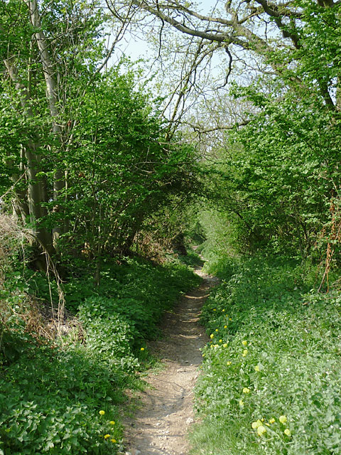
Broom Hill is primarily composed of sandstone, with its slopes covered in a mix of grass and heather, creating a picturesque landscape. Its distinct shape and commanding position make it a notable landmark in the area. The hill offers breathtaking panoramic views of the surrounding countryside, with glimpses of the Staffordshire Moorlands and even the Peak District National Park on clear days.
The hill is a popular destination for outdoor enthusiasts, attracting hikers and nature lovers alike. There are several footpaths and trails that lead to the summit, allowing visitors to explore the area and take in the stunning vistas. The hill is also home to a variety of wildlife, including numerous bird species, rabbits, and occasionally even deer.
Broom Hill has historical significance as well, with evidence of human activity dating back centuries. The remains of Iron Age hillforts can be found on its slopes, providing a glimpse into the region's ancient past. The area surrounding the hill is dotted with charming villages and picturesque countryside, offering visitors a chance to experience the rural charm of Staffordshire.
Overall, Broom Hill is a remarkable natural feature that offers both recreational opportunities and a chance to connect with the rich history and beauty of Staffordshire.
If you have any feedback on the listing, please let us know in the comments section below.
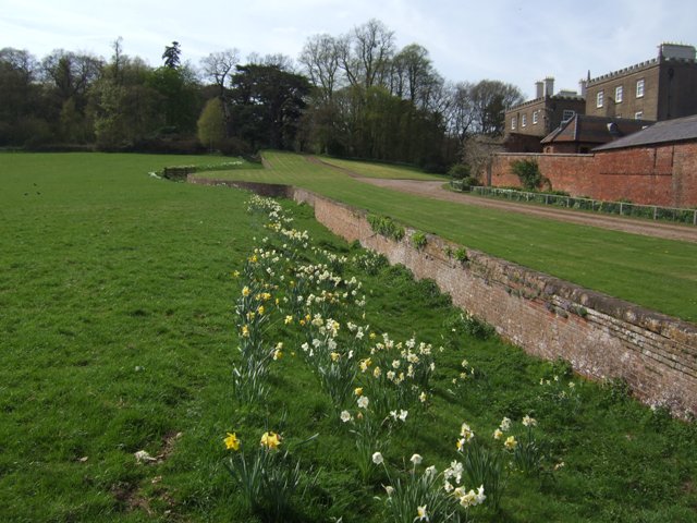
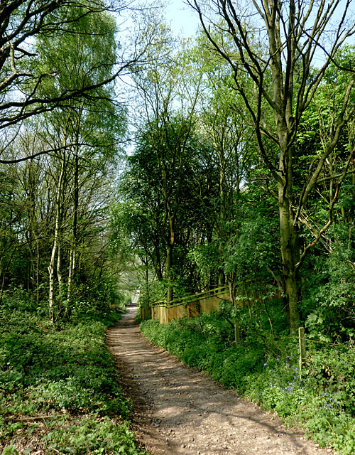
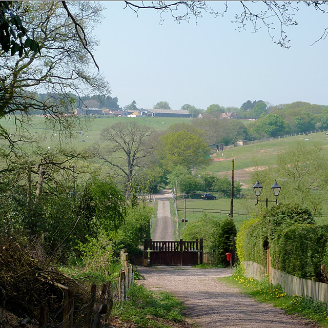
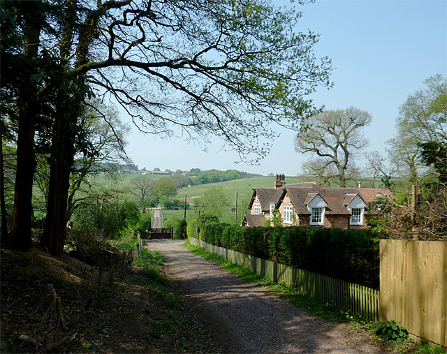
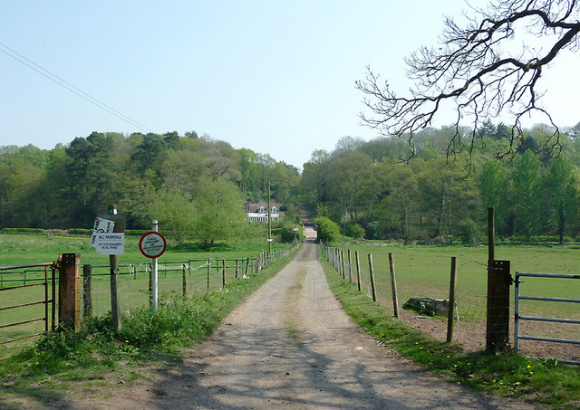
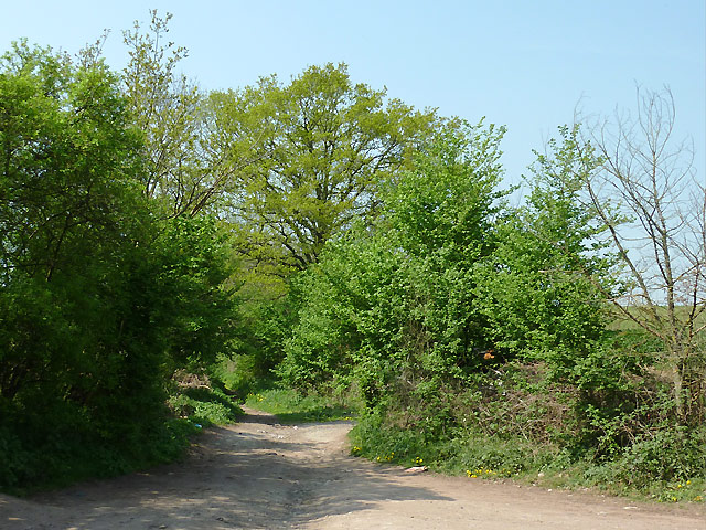
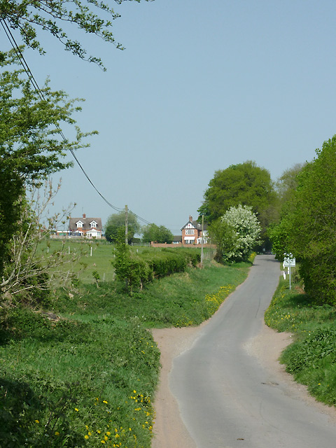
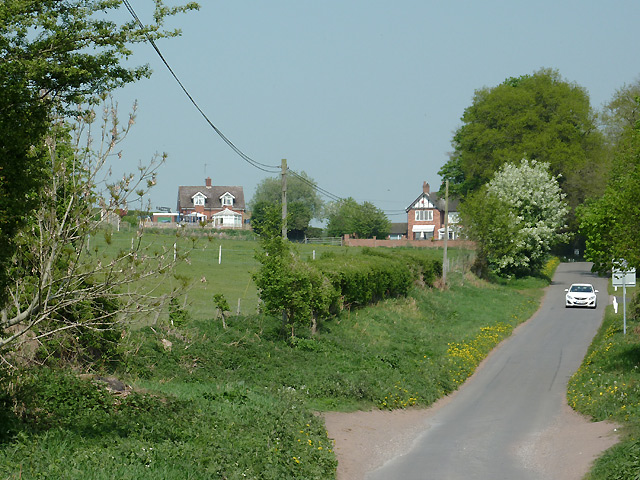
Broom Hill Images
Images are sourced within 2km of 52.468677/-2.2317719 or Grid Reference SO8485. Thanks to Geograph Open Source API. All images are credited.


Broom Hill is located at Grid Ref: SO8485 (Lat: 52.468677, Lng: -2.2317719)
Administrative County: Staffordshire
District: South Staffordshire
Police Authority: Staffordshire
What 3 Words
///lifeguard.historic.darker. Near Kinvere, Staffordshire
Related Wikis

Kinver High School
Kinver High School (formerly Edgecliff High School) is a mixed secondary school and sixth form located in Kinver in the English county of Staffordshire...

Enville Hall
Enville Hall is an English Tudor country house in the village of Enville, Staffordshire. It is a Grade II listed building.The house has a 16th and 17th...
Dunsley, Staffordshire
Dunsley is a hamlet in Kinver, Staffordshire, England. The settled part of the hamlet is the part of the village of Kinver, lying east of the River Stour...
Smestow Brook
The Smestow Brook, sometimes called the River Smestow, is a small river that plays an important part in the drainage of Wolverhampton, South Staffordshire...

West Midlands (region)
The West Midlands is one of nine official regions of England at the first level of International Territorial Level for statistical purposes. It covers...

Great Fountain, Enville
The Great Fountain, Enville, was a fountain created in the mid-19th century by the Earl of Stamford in the middle of a lake on his Enville Hall estate...

Enville, Staffordshire
Enville is a village and civil parish in rural Staffordshire, England, on the A458 road between Stourbridge and Bridgnorth. Enville is in the South Staffordshire...
Stourton, Staffordshire
Stourton is a hamlet in Staffordshire, England a few miles to the northwest of Stourbridge. There is a fair amount of dispute over the pronunciation, being...
Related Videos
Walking in Rock Houses,Kinver Edge with the peaceful atmosphere #4k #4knaturewalking#relaxingsounds
Kinver Edge is a remnant of the Mercian forest, although much planting dates from post-1945. There are two Iron Age hillforts on ...
Walking Kinver Edge in England
A Boxing day circular walk around Kinver Edge in Staffordshire. The weather was dry and it was a good oppurtunity to walk off ...
Walking Mum down the aisle! (Dunsley Hall, Kinver Wedding)
Our final wedding of 2021 was the wedding of Vicky and Paul at St Leonard's Church in Frankley, an unusal wedding in a way, ...
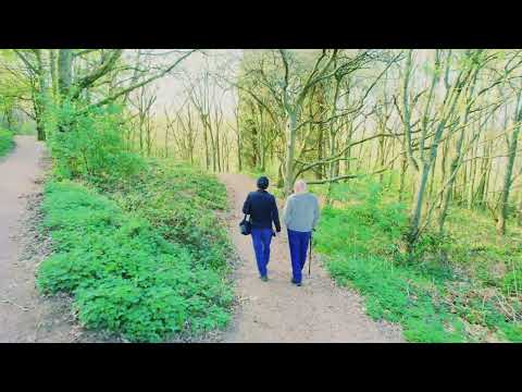
Kinver Edge- April 23
A short walk on Kinver Edge with Dan Hart.
Nearby Amenities
Located within 500m of 52.468677,-2.2317719Have you been to Broom Hill?
Leave your review of Broom Hill below (or comments, questions and feedback).