The Fox Covert

Wood, Forest in Staffordshire South Staffordshire

England

The Fox Covert

Enville Hall Grade II listed 16C&17C hall built by the Grey family, Earls of Stamford and Warrington. The extensive estate comprises 6500acres at Enville.
Enville Hall Credit: John M

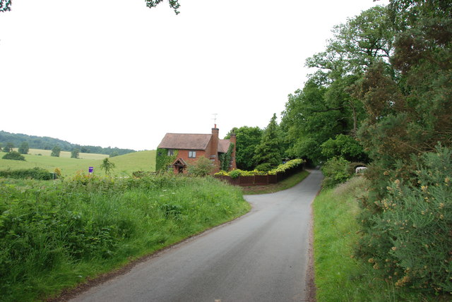
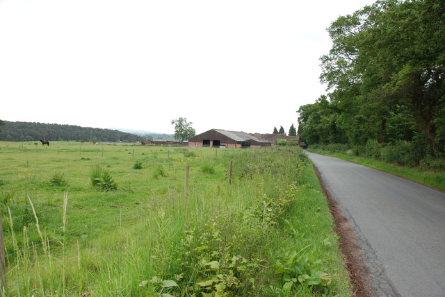
The Fox Covert is a woodland area located in Staffordshire, England. Spread across a vast expanse, it is known for its dense forest cover and diverse range of flora and fauna. The forest is situated in close proximity to several villages and provides a serene and picturesque escape for nature lovers and outdoor enthusiasts.

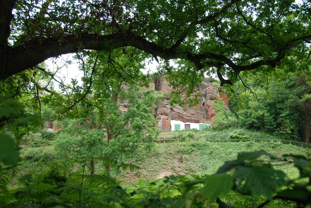
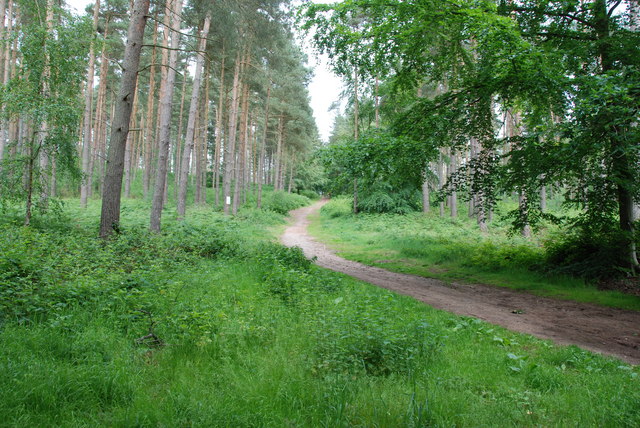
The woodland is predominantly made up of broadleaf trees such as oak, birch, and beech, which create a lush and green canopy. The forest floor is adorned with a rich carpet of ferns, mosses, and wildflowers, adding to the enchanting ambiance of the area. The Fox Covert is also home to a variety of wildlife, including deer, foxes, badgers, and a multitude of bird species.

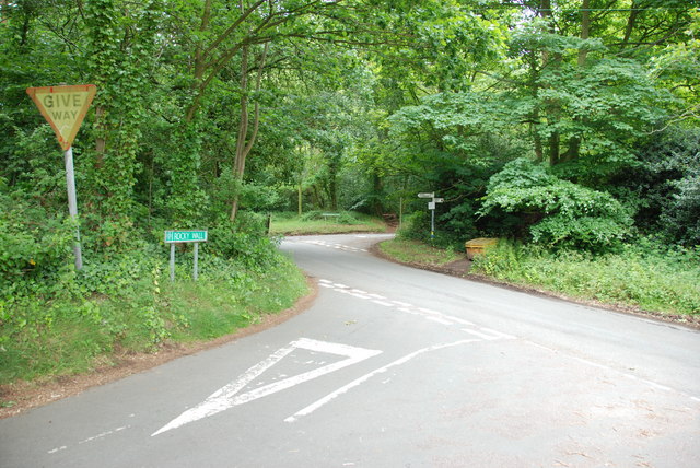
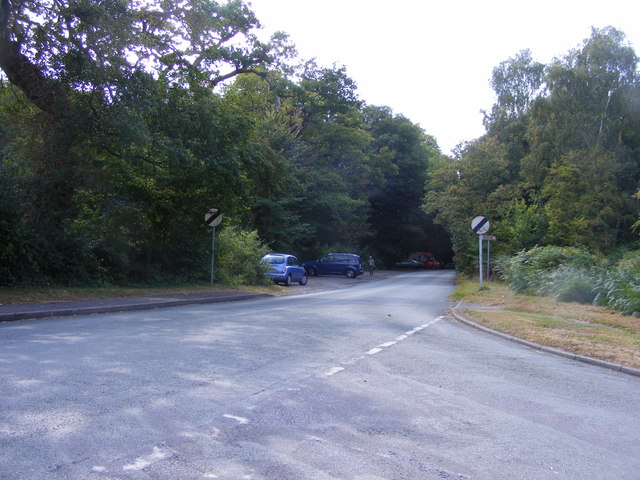
Visitors can explore the woodland through a network of well-maintained trails and footpaths, which wind through the trees and offer breathtaking views of the surrounding landscape. The forest is a popular destination for hiking, walking, and horse riding, providing ample opportunities for outdoor activities and exploration.

The Fox Covert is managed by local conservation organizations, who work diligently to preserve the natural beauty and ecological balance of the area. They organize educational programs and events to raise awareness about the importance of conservation and promote sustainable practices among visitors.

Overall, The Fox Covert in Staffordshire is a haven for nature enthusiasts, offering a peaceful and immersive experience in the heart of the English countryside.

If you have any feedback on the listing, please let us know in the comments section below.

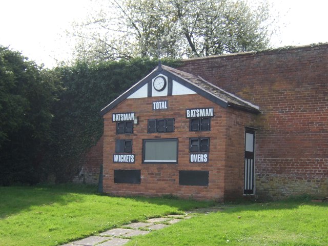
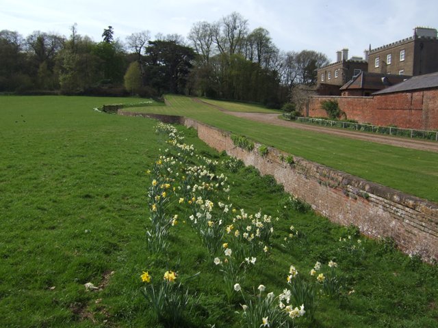
The Fox Covert Images

Images are sourced within 2km of 52.466241/-2.2361602 or Grid Reference SO8485. Thanks to Geograph Open Source API. All images are credited.

Enville Hall Grade II listed 16C&17C hall built by the Grey family, Earls of Stamford and Warrington. The extensive estate comprises 6500acres at Enville.
Enville Hall
Grade II listed 16C&17C hall built by the Grey family, Earls of Stamford and Warrington. The extensive estate comprises 6500acres at Enville.
Former Enville School School in the estate village erected by the Countess of Stamford and Warrington in the 1860s.
Former Enville School
School in the estate village erected by the Countess of Stamford and Warrington in the 1860s.
Gateway at Enville Hall The gate in the brick wall surrounding the hall leads into the landscaped gardens.
Gateway at Enville Hall
The gate in the brick wall surrounding the hall leads into the landscaped gardens.
Enville Cricket Club In the grounds of Enville Hall.
Enville Cricket Club
In the grounds of Enville Hall.
Scoreboard at Enville Cricket Club Built onto the wall surrounding Enville Hall.
Scoreboard at Enville Cricket Club
Built onto the wall surrounding Enville Hall.
Ha-ha at Enville Hall The Ha-ha or sunken wall feature separates the house and gardens from the grazing in the landscaped parkland.
Ha-ha at Enville Hall
The Ha-ha or sunken wall feature separates the house and gardens from the grazing in the landscaped parkland.
Main Entrance To Enville Hall.
Gamekeepers Cottages. These Cottages are on the Enville Road, Compton Road crossroads. Just outside Kinver.
Gamekeepers Cottages.
These Cottages are on the Enville Road, Compton Road crossroads. Just outside Kinver.
House On The Outskirts Of Kinver. This house replaced an old Cottage, around 1990
House On The Outskirts Of Kinver.
This house replaced an old Cottage, around 1990
Crossroads Near Holy Austin Rock, Kinver. These Crossroads are at the Kinver end of Kingsford Lane.
Crossroads Near Holy Austin Rock, Kinver.
These Crossroads are at the Kinver end of Kingsford Lane.
Holy Austin Rock, Kinver. One of the Rock houses has been restored, and is open to the public at certain times.The others have been closed off, as is evident from the Photo, for Health & Safety reasons.
Holy Austin Rock, Kinver.
One of the Rock houses has been restored, and is open to the public at certain times.The others have been closed off, as is evident from the Photo, for Health & Safety reasons.
Entrance To Huntsmans Drive, Kinver
A Track Into The Million.
Falcon Farm, Enville. Falcon Farm is part of the Enville Estate.
Falcon Farm, Enville.
Falcon Farm is part of the Enville Estate.
Public bridleway through Million Wood, near Enville The public bridleway which runs through the heart of this large wood, is the only route which the public can use. There are no other public rights of way, nor is it access land. Forestry operations are undertaken in the wood, so it is probably safest to stick to the correct route!
Public bridleway through Million Wood, near Enville
The public bridleway which runs through the heart of this large wood, is the only route which the public can use. There are no other public rights of way, nor is it access land. Forestry operations are undertaken in the wood, so it is probably safest to stick to the correct route!
Million Wood near Enville A typical scene in the wood, taken from the public bridleway. Although there appears to be a path here, there is no public right of way other than on the bridleway. The trees here are mainly pine. In April 2011, another part of the wood suffered a bad fire, which took some days to extinguish.
Million Wood near Enville
A typical scene in the wood, taken from the public bridleway. Although there appears to be a path here, there is no public right of way other than on the bridleway. The trees here are mainly pine. In April 2011, another part of the wood suffered a bad fire, which took some days to extinguish.
Kinver Lane Junction The view along Compton Road from Meddings Lane, next to Kinver Edge National Trust woodland.
Kinver Lane Junction
The view along Compton Road from Meddings Lane, next to Kinver Edge National Trust woodland.
The Royal Exchange (1), High Street, Kinver It has been a public house for at least a hundred years, probably considerably longer. In the 1911 census it is described as the Royal Exchange Inn. Apparently at one time it was known by local people as the Cherry Tree. Possibly this was once its name, or perhaps more likely there used to be a cherry tree there.

<a href="https://www.geograph.org.uk/photo/2570247">SO8483 : The Royal Exchange (2) - sign, High Street, Kinver</a>.
The Royal Exchange (1), High Street, Kinver
It has been a public house for at least a hundred years, probably considerably longer. In the 1911 census it is described as the Royal Exchange Inn. Apparently at one time it was known by local people as the Cherry Tree. Possibly this was once its name, or perhaps more likely there used to be a cherry tree there. SO8483 : The Royal Exchange (2) - sign, High Street, Kinver.
Show me another place!

The Fox Covert is located at Grid Ref: SO8485 (Lat: 52.466241, Lng: -2.2361602)

Administrative County: Staffordshire

District: South Staffordshire

Police Authority: Staffordshire

What 3 Words

///uplifting.diary.broadens. Near Kinvere, Staffordshire

Related Wikis

Kinver High School

Kinver High School (formerly Edgecliff High School) is a mixed secondary school and sixth form located in Kinver in the English county of Staffordshire...
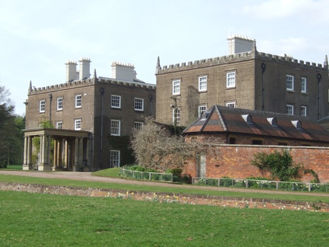
Enville Hall

Enville Hall is an English Tudor country house in the village of Enville, Staffordshire. It is a Grade II listed building.The house has a 16th and 17th...

Kinver Edge

Kinver Edge is a high heath and woodland escarpment just west of Kinver, about four miles west of Stourbridge, and four miles north of Kidderminster, and...

Dunsley, Staffordshire

Dunsley is a hamlet in Kinver, Staffordshire, England. The settled part of the hamlet is the part of the village of Kinver, lying east of the River Stour...

Great Fountain, Enville

The Great Fountain, Enville, was a fountain created in the mid-19th century by the Earl of Stamford in the middle of a lake on his Enville Hall estate...

West Midlands (region)

The West Midlands is one of nine official regions of England at the first level of International Territorial Level for statistical purposes. It covers...

Kinver

Kinver is a large village in the District of South Staffordshire in Staffordshire, England. It is in the far south-west of the county, at the end of the...

Enville, Staffordshire

Enville is a village and civil parish in rural Staffordshire, England, on the A458 road between Stourbridge and Bridgnorth. Enville is in the South Staffordshire...

Nearby Amenities

Located within 500m of 52.466241,-2.2361602
Bus Stop
Fox Inn PH
Bus: yes
Naptan AtcoCode: 3800C606100
Naptan Bearing: W
Naptan CommonName: Fox Inn PH
Naptan Indicator: Opp
Naptan Landmark: Fox Inn PH
Naptan Street: Clanbrook Rd
Naptan Verified: no
Public Transport: platform
Source: naptan_import
Lat/Long: 52.4650971/-2.2336582
Power: tower
Lat/Long: 52.4670342/-2.2418854
Power: tower
Lat/Long: 52.468309/-2.2390851
Power: tower
Lat/Long: 52.4686934/-2.2381936
Power: tower
Lat/Long: 52.4699185/-2.2353087
Littlewood's Common
Place: locality
Source: OS_OpenData_StreetView
Lat/Long: 52.4624094/-2.2345908
Power: pole
Lat/Long: 52.4652971/-2.2394274
Power: pole
Lat/Long: 52.4652775/-2.2396769
Power: pole
Lat/Long: 52.4656631/-2.2403232
Power: pole
Lat/Long: 52.4660733/-2.2410044
Power: pole
Lat/Long: 52.4644164/-2.2351305
Power: pole
Lat/Long: 52.4634898/-2.2367211
Power: pole
Lat/Long: 52.4648804/-2.2382875
Power: pole
Lat/Long: 52.4626612/-2.235329
Power: pole
Lat/Long: 52.4640111/-2.237574
Power: pole
Lat/Long: 52.462975/-2.2358762
Power: pole
Lat/Long: 52.4631531/-2.2333147
Power: pole
Lat/Long: 52.4635731/-2.2345324
Power: pole
Lat/Long: 52.4669623/-2.2424609
Power: pole
Lat/Long: 52.4662104/-2.2426646
Power: pole
Lat/Long: 52.4627282/-2.2321265
Power: pole
Lat/Long: 52.4644588/-2.2383304
Power: pole
Lat/Long: 52.4639717/-2.235841
Power: pole
Lat/Long: 52.4657939/-2.2402831
Power: pole
Lat/Long: 52.4644245/-2.2369625
Power: pole
Lat/Long: 52.4639392/-2.2355811
Power: pole
Lat/Long: 52.4664589/-2.2416348
Power: pole
Lat/Long: 52.4622805/-2.234747
Power: pole
Lat/Long: 52.4665243/-2.2414337
The data included in this document is from www.openstreetmap.org. The data is made available under ODbL.

Have you been to The Fox Covert?

Leave your review of The Fox Covert below (or comments, questions and feedback).