Van Diemen's Land

Wood, Forest in Staffordshire South Staffordshire

England

Van Diemen's Land

Enville windmill The tower mill on the edge of Enville Common built in 1800-1801 remained in use until 1870. The mill had four sails, boat cap and fantail. Little remains inside the shell except for sections of the turning ring for the boat cap. 

See <span class="nowrap"><a title="http://www.search.staffspasttrack.org.uk/engine/resource/default.asp?resource=11298" rel="nofollow ugc noopener" href="http://www.search.staffspasttrack.org.uk/engine/resource/default.asp?resource=11298">Link</a><img style="margin-left:2px;" alt="External link" title="External link - shift click to open in new window" src="https://s1.geograph.org.uk/img/external.png" width="10" height="10"/></span>
Enville windmill Credit: John M

Van Diemen's Land, Staffordshire (Wood, Forest) is a historical location located in the county of Staffordshire, England. The name "Van Diemen's Land" is derived from the Dutch explorer Abel Tasman, who named the island of Tasmania (now part of Australia) after the then Governor of the Dutch East Indies, Anthony van Diemen. The name was later adopted to refer to various places around the world, including this area in Staffordshire.

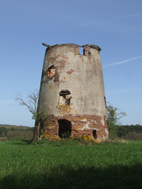
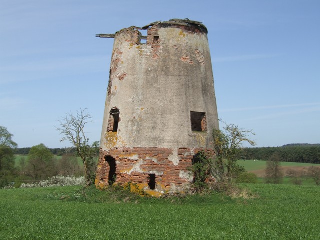
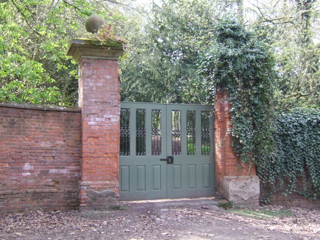
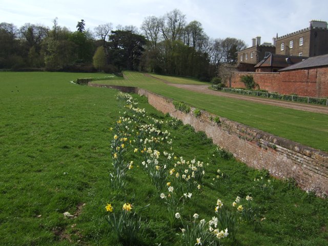
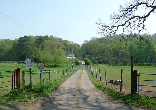
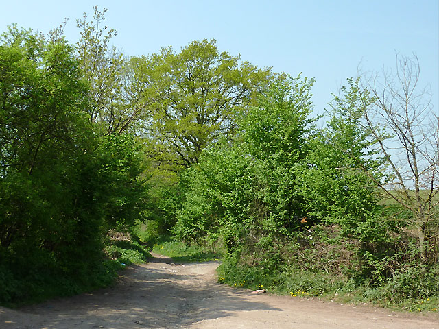
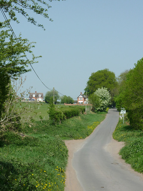
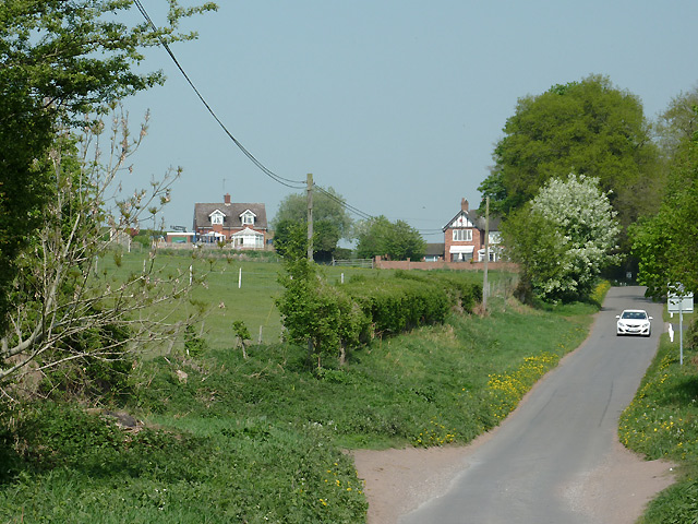
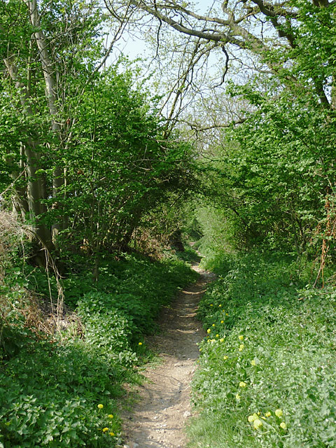
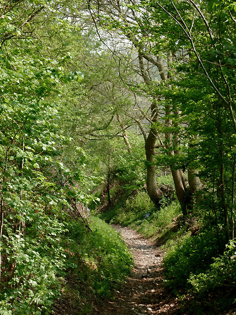
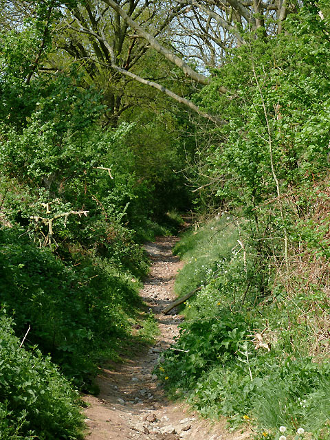
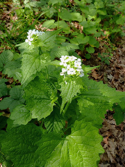
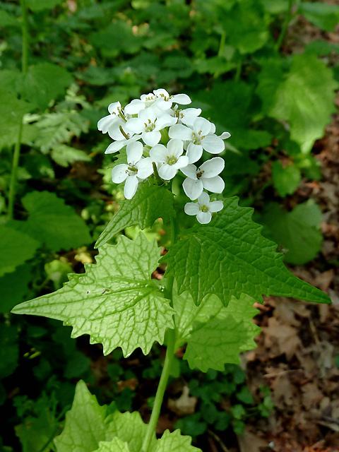
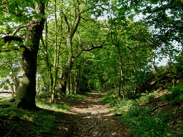
Van Diemen's Land, Staffordshire is known for its dense woodland and forested areas, which provide a rich habitat for diverse flora and fauna. The woodlands are predominantly composed of various species of trees, such as oak, ash, and beech. Lush vegetation, including ferns and mosses, thrives in the damp and shaded environment.

The woodland of Van Diemen's Land offers a peaceful and picturesque setting, attracting nature enthusiasts and hikers who enjoy exploring its scenic trails. The forest also serves as a valuable resource for the local community, providing timber for construction and fuel.

In addition to its natural beauty, Van Diemen's Land has historical significance. It is believed that the area was once inhabited by ancient tribes, leaving behind archaeological remains and artifacts. The woodlands have witnessed centuries of human activity, including logging, charcoal production, and hunting.

Today, Van Diemen's Land, Staffordshire remains a cherished natural and historical site, offering visitors a glimpse into the region's rich past and providing a tranquil escape into nature.

If you have any feedback on the listing, please let us know in the comments section below.

Van Diemen's Land Images

Images are sourced within 2km of 52.469294/-2.2336005 or Grid Reference SO8485. Thanks to Geograph Open Source API. All images are credited.

Enville windmill The tower mill on the edge of Enville Common built in 1800-1801 remained in use until 1870. The mill had four sails, boat cap and fantail. Little remains inside the shell except for sections of the turning ring for the boat cap. 

See <span class="nowrap"><a title="http://www.search.staffspasttrack.org.uk/engine/resource/default.asp?resource=11298" rel="nofollow ugc noopener" href="http://www.search.staffspasttrack.org.uk/engine/resource/default.asp?resource=11298">Link</a><img style="margin-left:2px;" alt="External link" title="External link - shift click to open in new window" src="https://s1.geograph.org.uk/img/external.png" width="10" height="10"/></span>
Enville windmill
The tower mill on the edge of Enville Common built in 1800-1801 remained in use until 1870. The mill had four sails, boat cap and fantail. Little remains inside the shell except for sections of the turning ring for the boat cap. See LinkExternal link
Enville windmill The tower mill on the edge of Enville Common built in 1800-1801 remained in use until 1870. The mill had four sails, boat cap and fantail. Little remains inside the shell except for sections of the turning ring for the boat cap. 

<span class="nowrap"><a title="http://www.search.staffspasttrack.org.uk/engine/resource/default.asp?resource=11298" rel="nofollow ugc noopener" href="http://www.search.staffspasttrack.org.uk/engine/resource/default.asp?resource=11298">Link</a><img style="margin-left:2px;" alt="External link" title="External link - shift click to open in new window" src="https://s1.geograph.org.uk/img/external.png" width="10" height="10"/></span>
Enville windmill
The tower mill on the edge of Enville Common built in 1800-1801 remained in use until 1870. The mill had four sails, boat cap and fantail. Little remains inside the shell except for sections of the turning ring for the boat cap. LinkExternal link
Enville Hall Grade II listed 16C&17C hall built by the Grey family, Earls of Stamford and Warrington. The extensive estate comprises 6500acres at Enville.
Enville Hall
Grade II listed 16C&17C hall built by the Grey family, Earls of Stamford and Warrington. The extensive estate comprises 6500acres at Enville.
Former Enville School School in the estate village erected by the Countess of Stamford and Warrington in the 1860s.
Former Enville School
School in the estate village erected by the Countess of Stamford and Warrington in the 1860s.
Gateway at Enville Hall The gate in the brick wall surrounding the hall leads into the landscaped gardens.
Gateway at Enville Hall
The gate in the brick wall surrounding the hall leads into the landscaped gardens.
Enville Cricket Club In the grounds of Enville Hall.
Enville Cricket Club
In the grounds of Enville Hall.
Scoreboard at Enville Cricket Club Built onto the wall surrounding Enville Hall.
Scoreboard at Enville Cricket Club
Built onto the wall surrounding Enville Hall.
Ha-ha at Enville Hall The Ha-ha or sunken wall feature separates the house and gardens from the grazing in the landscaped parkland.
Ha-ha at Enville Hall
The Ha-ha or sunken wall feature separates the house and gardens from the grazing in the landscaped parkland.
Bridleway to Prestwood, Staffordshire Seen from Greensforge Lane.
The bridleway links The Million plantation and Greensforge Lane with the Wolverhampton Road (A449) at Prestwood. On the skyline is woodland; to the left of the track is Gotherseley Rough, while to the right is Colbourn's Rough. At the bottom of the shallow wide valley the Smestow River flows from left to right. At the base of the woods is the Staffordshire and Worcestershire Canal.
Bridleway to Prestwood, Staffordshire
Seen from Greensforge Lane. The bridleway links The Million plantation and Greensforge Lane with the Wolverhampton Road (A449) at Prestwood. On the skyline is woodland; to the left of the track is Gotherseley Rough, while to the right is Colbourn's Rough. At the bottom of the shallow wide valley the Smestow River flows from left to right. At the base of the woods is the Staffordshire and Worcestershire Canal.
Bridleway to The Million, Staffordshire This bridleway is a continuation of the wider track from Prestwood, but here it becomes little more than a footpath as it climbs towards Gothersley Farm. It passes through The Million plantation and continues to Enville.
Bridleway to The Million, Staffordshire
This bridleway is a continuation of the wider track from Prestwood, but here it becomes little more than a footpath as it climbs towards Gothersley Farm. It passes through The Million plantation and continues to Enville.
Greensforge Lane near Stourton, Staffordshire Looking north towards Field House and Gothersley Lodge. In the foreground, a bridleway crosses the lane, left to The Million plantation, and right to Prestwood.
Greensforge Lane near Stourton, Staffordshire
Looking north towards Field House and Gothersley Lodge. In the foreground, a bridleway crosses the lane, left to The Million plantation, and right to Prestwood.
Bridleway to The Million, Staffordshire This bridleway is a continuation of the wider track from Prestwood, but here it becomes little more than a footpath as it climbs towards Gothersley Farm. It then passes through The Million plantation and continues to Enville.
Bridleway to The Million, Staffordshire
This bridleway is a continuation of the wider track from Prestwood, but here it becomes little more than a footpath as it climbs towards Gothersley Farm. It then passes through The Million plantation and continues to Enville.
Bridleway to Prestwood, Staffordshire The bridleway, having come from Enville, links The Million plantation and Greensforge Lane with the Wolverhampton Road (A449) at Prestwood.
Bridleway to Prestwood, Staffordshire
The bridleway, having come from Enville, links The Million plantation and Greensforge Lane with the Wolverhampton Road (A449) at Prestwood.
Bridleway to The Million, Staffordshire This bridleway is a continuation of the wider track from Prestwood, but here it becomes little more than a footpath as it climbs towards Gothersley Farm. It then passes through The Million plantation and continues to Enville.
Bridleway to The Million, Staffordshire
This bridleway is a continuation of the wider track from Prestwood, but here it becomes little more than a footpath as it climbs towards Gothersley Farm. It then passes through The Million plantation and continues to Enville.
Garlic mustard near Gothersley, Staffordshire Garlic Mustard (Alliaria petiolata), sometimes known as Jack-by-the-Hedge, is a common perennial. It is often found in hedgerows and likes damp woodland, flowering from April to June. The plant is common here by the sides of the bridleway between Prestwood and The Million.

The leaves, flowers and fruit are edible, and are best when young. They have a mild flavour of both garlic and mustard, and can be used in salads and pesto. They were also used in cooking to flavour fish and meat. The plant is also used in herbal medicine to treat gangrene, ulcers and sore throats.
Garlic mustard near Gothersley, Staffordshire
Garlic Mustard (Alliaria petiolata), sometimes known as Jack-by-the-Hedge, is a common perennial. It is often found in hedgerows and likes damp woodland, flowering from April to June. The plant is common here by the sides of the bridleway between Prestwood and The Million. The leaves, flowers and fruit are edible, and are best when young. They have a mild flavour of both garlic and mustard, and can be used in salads and pesto. They were also used in cooking to flavour fish and meat. The plant is also used in herbal medicine to treat gangrene, ulcers and sore throats.
Garlic mustard flowers near Gothersley, Staffordshire Garlic Mustard (Alliaria petiolata), sometimes known as Jack-by-the-Hedge, is a common perennial. It is often found in hedgerows and likes damp woodland, flowering from April to June. The plant is common here by the sides of the bridleway between Gothersley and The Million.

The leaves, flowers and fruit are edible, and are best when young. They have a mild flavour of both garlic and mustard, and can be used in salads and pesto. They were also used in cooking to flavour fish and meat. The plant is also used in herbal medicine to treat gangrene, ulcers and sore throats.
Garlic mustard flowers near Gothersley, Staffordshire
Garlic Mustard (Alliaria petiolata), sometimes known as Jack-by-the-Hedge, is a common perennial. It is often found in hedgerows and likes damp woodland, flowering from April to June. The plant is common here by the sides of the bridleway between Gothersley and The Million. The leaves, flowers and fruit are edible, and are best when young. They have a mild flavour of both garlic and mustard, and can be used in salads and pesto. They were also used in cooking to flavour fish and meat. The plant is also used in herbal medicine to treat gangrene, ulcers and sore throats.
Bridleway to The Million, Staffordshire This bridleway is a continuation of the wider track from Prestwood, but here it becomes little more than a footpath as it climbs towards Gothersley Farm. It then passes through The Million plantation and continues to Enville.
Bridleway to The Million, Staffordshire
This bridleway is a continuation of the wider track from Prestwood, but here it becomes little more than a footpath as it climbs towards Gothersley Farm. It then passes through The Million plantation and continues to Enville.
Show me another place!

Van Diemen's Land is located at Grid Ref: SO8485 (Lat: 52.469294, Lng: -2.2336005)

Administrative County: Staffordshire

District: South Staffordshire

Police Authority: Staffordshire

What 3 Words

///acrobatic.gallons.kindness. Near Kinvere, Staffordshire

Related Wikis

Kinver High School

Kinver High School (formerly Edgecliff High School) is a mixed secondary school and sixth form located in Kinver in the English county of Staffordshire...

Enville Hall

Enville Hall is an English Tudor country house in the village of Enville, Staffordshire. It is a Grade II listed building.The house has a 16th and 17th...

West Midlands (region)

The West Midlands is one of nine official regions of England at the first level of International Territorial Level for statistical purposes. It covers...

Great Fountain, Enville

The Great Fountain, Enville, was a fountain created in the mid-19th century by the Earl of Stamford in the middle of a lake on his Enville Hall estate...

Enville, Staffordshire

Enville is a village and civil parish in rural Staffordshire, England, on the A458 road between Stourbridge and Bridgnorth. Enville is in the South Staffordshire...

Dunsley, Staffordshire

Dunsley is a hamlet in Kinver, Staffordshire, England. The settled part of the hamlet is the part of the village of Kinver, lying east of the River Stour...

Smestow Brook

The Smestow Brook, sometimes called the River Smestow, is a small river that plays an important part in the drainage of Wolverhampton, South Staffordshire...

Kinver Edge

Kinver Edge is a high heath and woodland escarpment just west of Kinver, about four miles west of Stourbridge, and four miles north of Kidderminster, and...

Nearby Amenities

Located within 500m of 52.469294,-2.2336005
Source: www.npemap.org.uk
Uk Postcode Centroid: DY7
Lat/Long: 52.472804/-2.232583
Bus Stop
Fox Inn PH
Bus: yes
Naptan AtcoCode: 3800C606100
Naptan Bearing: W
Naptan CommonName: Fox Inn PH
Naptan Indicator: Opp
Naptan Landmark: Fox Inn PH
Naptan Street: Clanbrook Rd
Naptan Verified: no
Public Transport: platform
Source: naptan_import
Lat/Long: 52.4650971/-2.2336582
Power: tower
Lat/Long: 52.468309/-2.2390851
Power: tower
Lat/Long: 52.4686934/-2.2381936
Power: tower
Lat/Long: 52.4699185/-2.2353087
Power: tower
Lat/Long: 52.470979/-2.2334312
Power: tower
Lat/Long: 52.4721485/-2.2313505
The data included in this document is from www.openstreetmap.org. The data is made available under ODbL.

Have you been to Van Diemen's Land?

Leave your review of Van Diemen's Land below (or comments, questions and feedback).