Acre Hill
Hill, Mountain in Lancashire Rossendale
England
Acre Hill
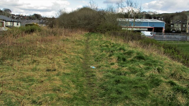
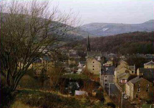
Acre Hill is a prominent hill located in the county of Lancashire, England. Situated within the southern part of the county, Acre Hill is characterized by its picturesque landscape and impressive elevation. Standing at an approximate height of 289 meters (948 feet) above sea level, it is considered one of the notable hills in the region.
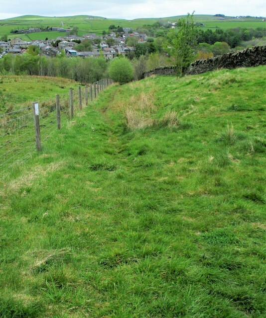
The hill is surrounded by lush greenery, with patches of woodlands and open fields dominating the scenery. It offers breathtaking panoramic views of the surrounding areas, including the nearby towns and villages. The hilltop provides an excellent vantage point for visitors to appreciate the natural beauty of Lancashire.
Acre Hill is a popular destination for outdoor enthusiasts, hikers, and nature lovers. It boasts several walking trails that meander through its slopes, allowing visitors to explore the hill's diverse flora and fauna. The trails cater to different skill levels, making it accessible to both beginners and experienced hikers.
The hill is also home to a variety of wildlife, including birds, rabbits, and deer. Nature enthusiasts can often spot these creatures while traversing the hill's trails, adding to the allure of the area.
Overall, Acre Hill in Lancashire offers a captivating natural setting, making it an ideal location for leisurely walks, picnics, and enjoying the scenic beauty of the countryside. Its elevation, coupled with its stunning views, provides a unique experience for visitors seeking solace amidst nature.
If you have any feedback on the listing, please let us know in the comments section below.
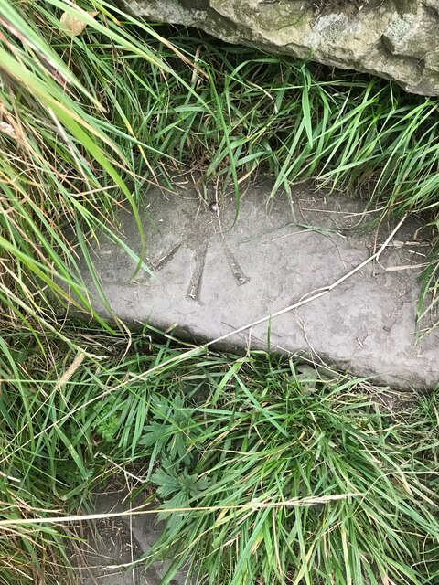
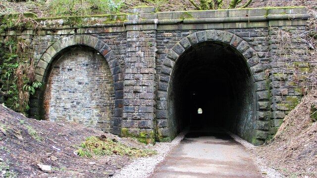
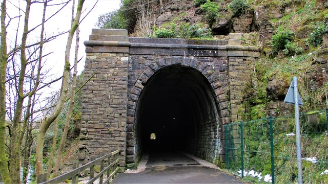
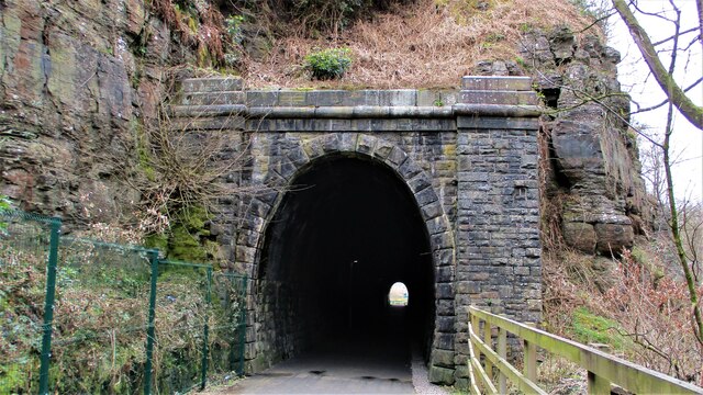
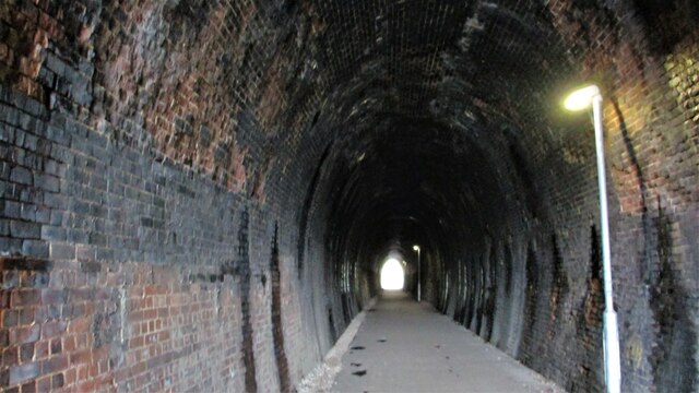
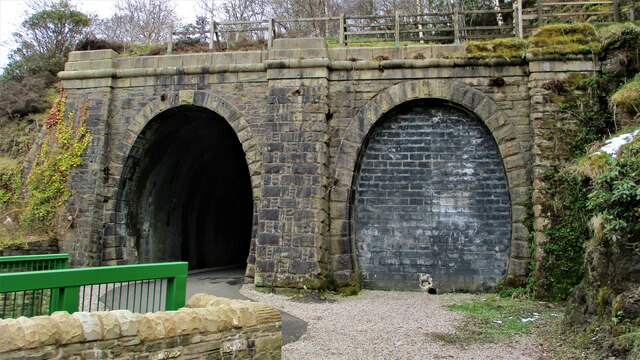
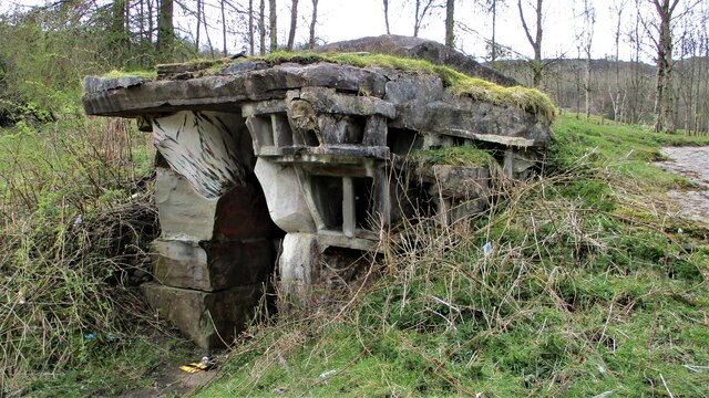
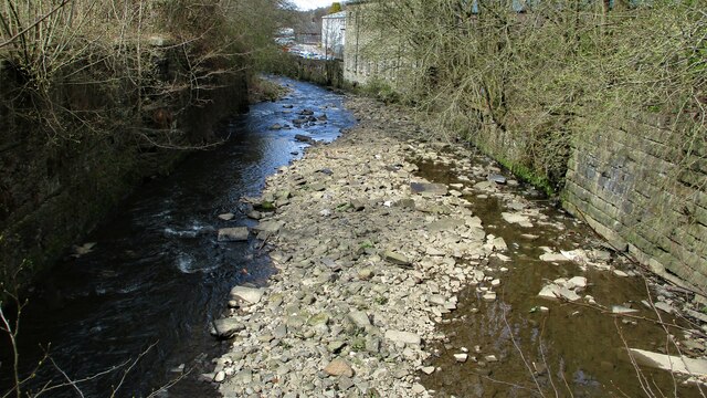
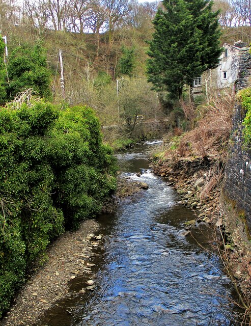
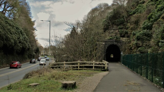
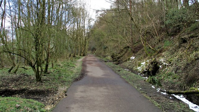
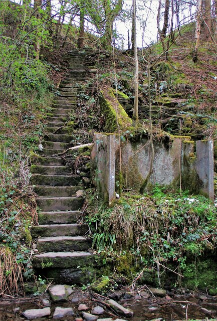
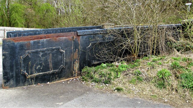
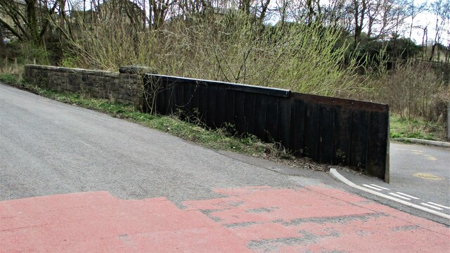
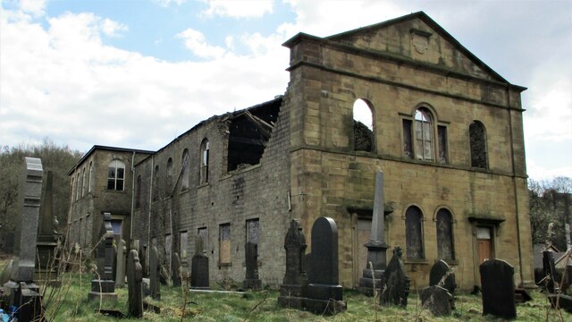
Acre Hill Images
Images are sourced within 2km of 53.704038/-2.2390276 or Grid Reference SD8423. Thanks to Geograph Open Source API. All images are credited.

Acre Hill is located at Grid Ref: SD8423 (Lat: 53.704038, Lng: -2.2390276)
Administrative County: Lancashire
District: Rossendale
Police Authority: Lancashire
What 3 Words
///surpasses.airship.pushing. Near Bacup, Lancashire
Nearby Locations
Related Wikis

Rossendale (UK Parliament constituency)
Rossendale was a parliamentary constituency in the Lancashire, England. Created in 1885, it elected one Member of Parliament (MP) to the House of Commons...

Rossendale and Darwen (UK Parliament constituency)
Rossendale and Darwen is a constituency in Lancashire represented in the House of Commons of the UK Parliament since 2010 by Jake Berry, the former Chairman...
Newchurch, Lancashire
Newchurch is a village within the borough of Rossendale in Lancashire, England. It is around one mile east of Rawtenstall and half a mile north of Waterfoot...
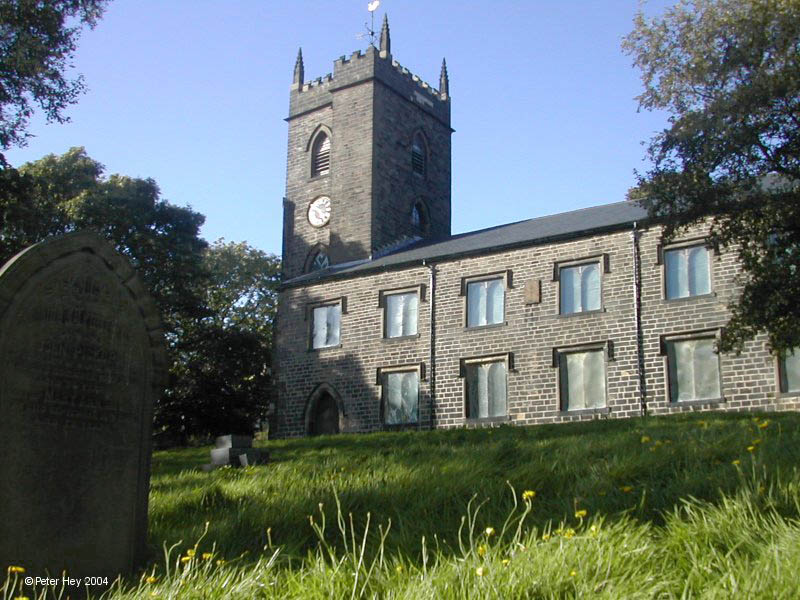
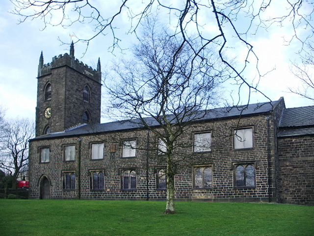
St Nicholas Church, Newchurch
St Nicholas Church in Newchurch, Lancashire, England, is an active Anglican parish church in the diocese of Manchester, founded in the early 16th century...
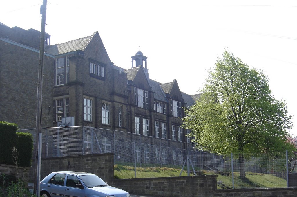
Bacup and Rawtenstall Grammar School
Bacup and Rawtenstall Grammar School (BRGS) is a selective co-educational academy grammar school in Waterfoot, Rossendale, Lancashire, England. The school...
Waterfoot, Lancashire
Waterfoot is a historic mill town and civil parish in the Borough of Rossendale between Rawtenstall and Bacup in Lancashire, England. The B6238 road from...

Waterfoot railway station
Waterfoot railway station served Waterfoot, Rossendale near Rawtenstall, Lancashire, England from 1848 until the line closed in 1966. == History == The...

Whitewell Brook
Whitewell Brook is a minor river in Lancashire, England. It is 4.34 miles (6.99 km) long and has a catchment area of 7.67 square miles (19.86 km2).The...
Related Videos

Tor Hill, Rossendale, Lancashire - warming up by hiking before the long running fell race
5 mile hike in Rossendale up Tor Hill and around it. East Lancashire. 25 March 2023 (Saturday) Strava Route: ...
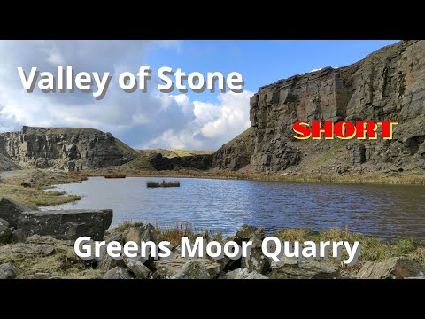
Valley of Stone: Greens Moor Quarry : SHORT 🎬
Music: 800 Star Constellation by Televangel (from GoPro Quik)

Rossendale, Knowl Moor Hill, Greenbooth and Middle Naden Reservoirs, Lancashire
5 mile family circular hike in the East Lancashire area of Rossendale. First time doing this walk. Along Greenbooth and Middle ...

Allotment April tour
A quick tour of allotment land to show you what's happening at the moment.
Nearby Amenities
Located within 500m of 53.704038,-2.2390276Have you been to Acre Hill?
Leave your review of Acre Hill below (or comments, questions and feedback).