Gallows Hill
Hill, Mountain in Dorset
England
Gallows Hill
Gallows Hill is a prominent hill located in the county of Dorset, England. Situated near the town of Dorchester, it stands at an elevation of approximately 150 meters (492 feet) above sea level, making it a notable landmark in the region. The hill is characterized by its distinct shape, featuring a gentle slope that gradually rises to a rounded peak.
The name "Gallows Hill" is derived from its historical association with capital punishment. In the past, the hill was used as a site for public executions, where convicted criminals would be hanged. This grim history has left a lasting legacy on the hill, and it is often a topic of interest for local historians and visitors.
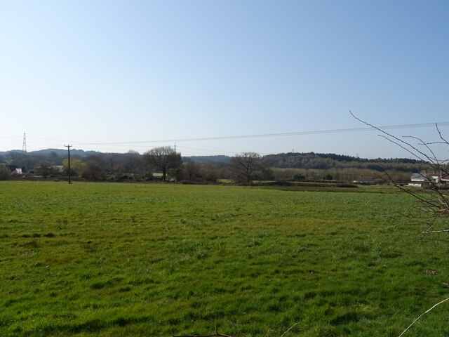
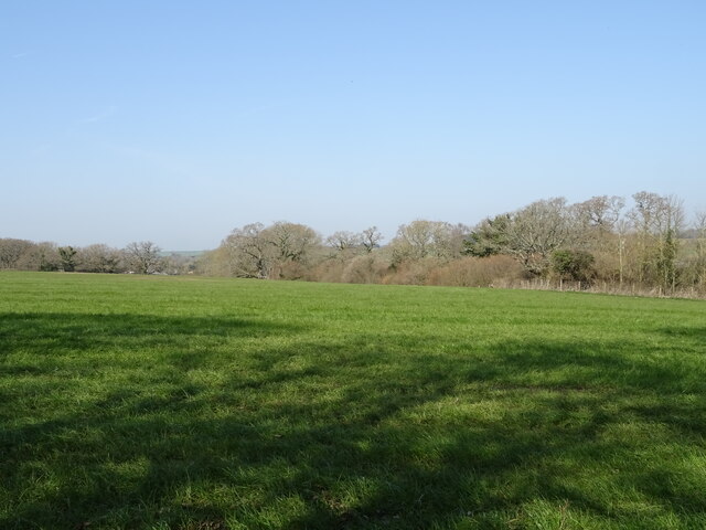
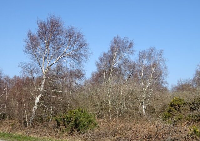
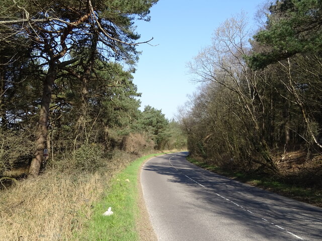
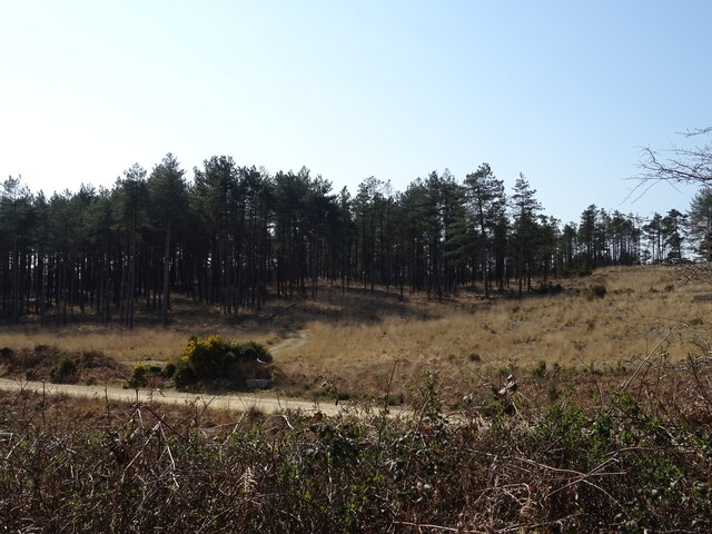
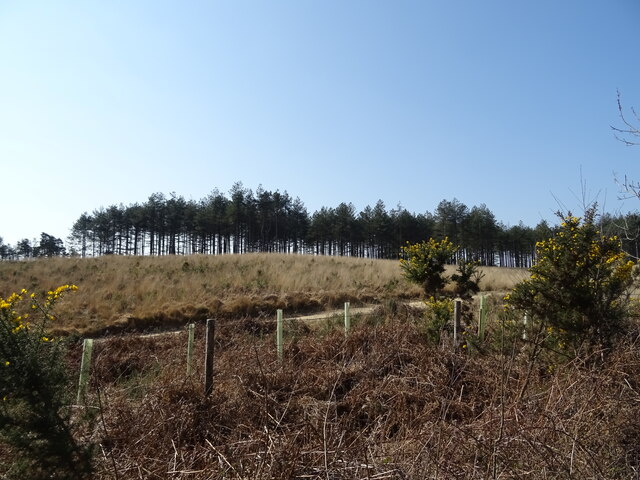
From the summit of Gallows Hill, visitors can enjoy panoramic views of the surrounding countryside. On clear days, the vista extends across the rolling hills and picturesque valleys of Dorset, offering a breathtaking sight to behold. The area surrounding the hill is predominantly agricultural, with sprawling fields and quaint villages dotting the landscape.
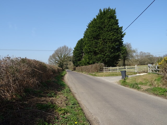
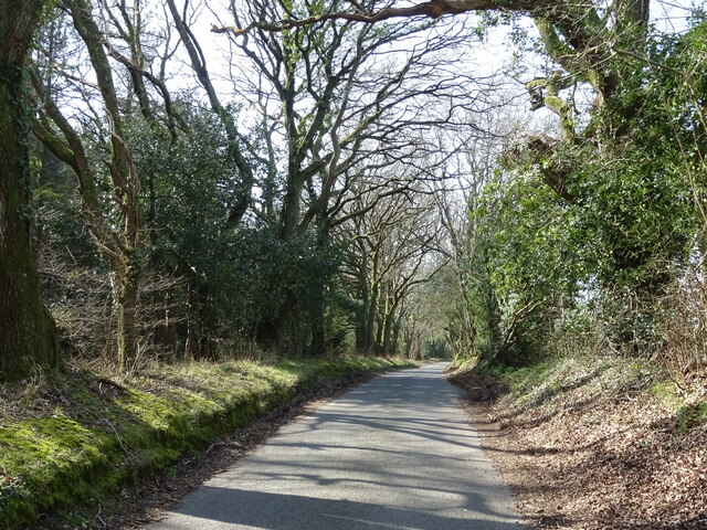
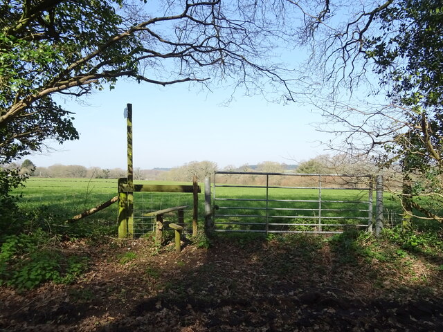
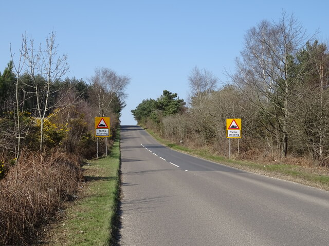
Gallows Hill is a popular destination for hikers and nature enthusiasts, with several walking trails crisscrossing its slopes. These trails provide an opportunity to explore the natural beauty of the area, with diverse flora and fauna to be discovered along the way.
Overall, Gallows Hill is a historically significant and visually striking feature of the Dorset countryside, offering visitors a chance to immerse themselves in its past and appreciate the beauty of its surroundings.
If you have any feedback on the listing, please let us know in the comments section below.
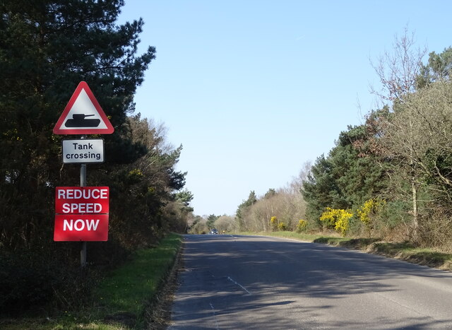
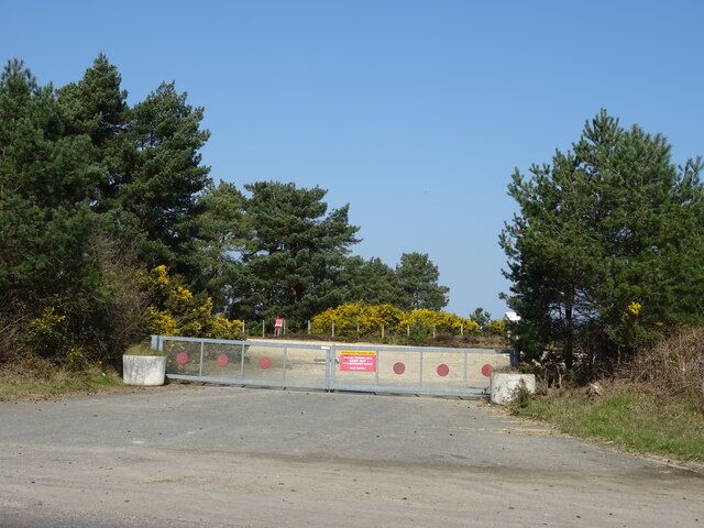
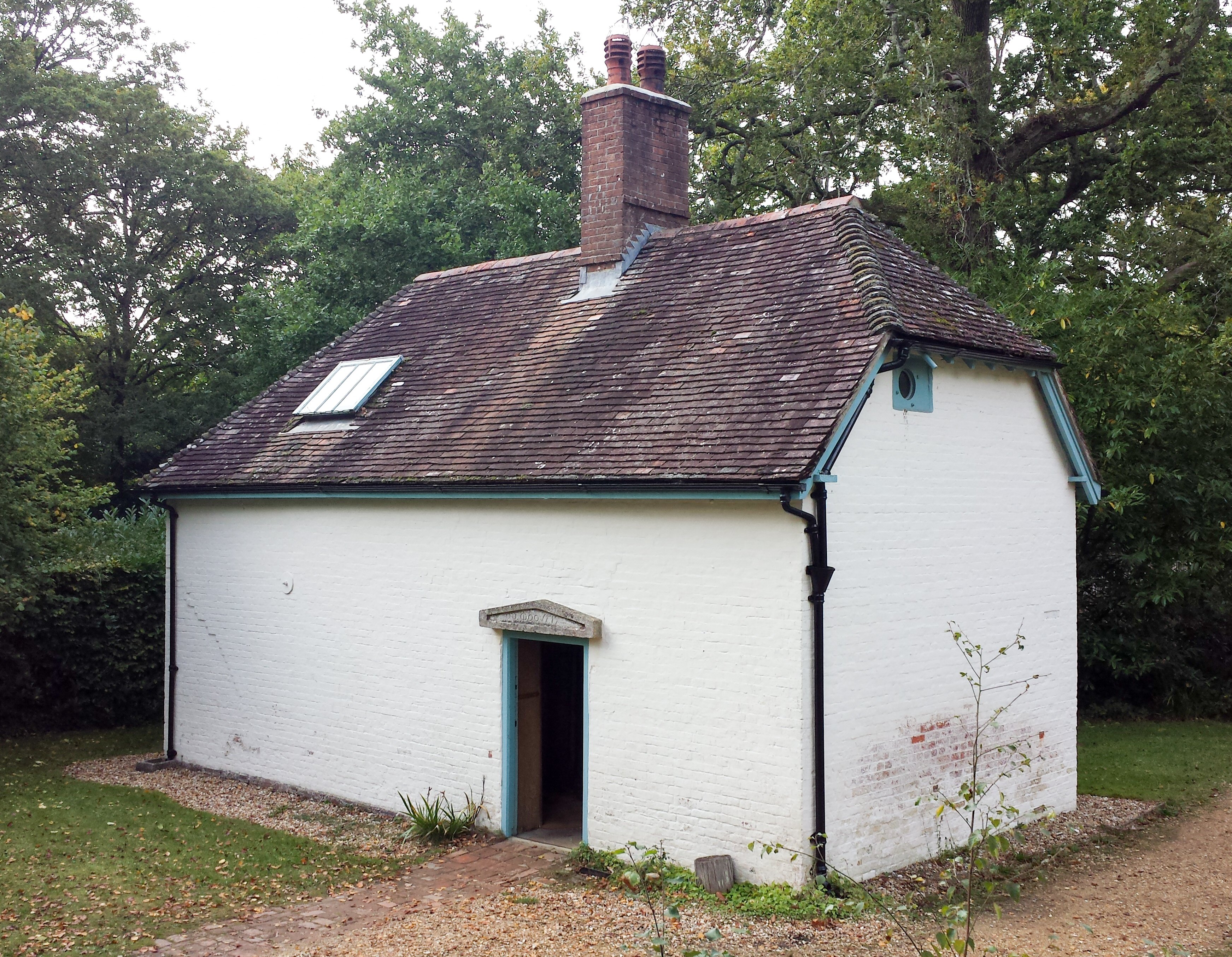
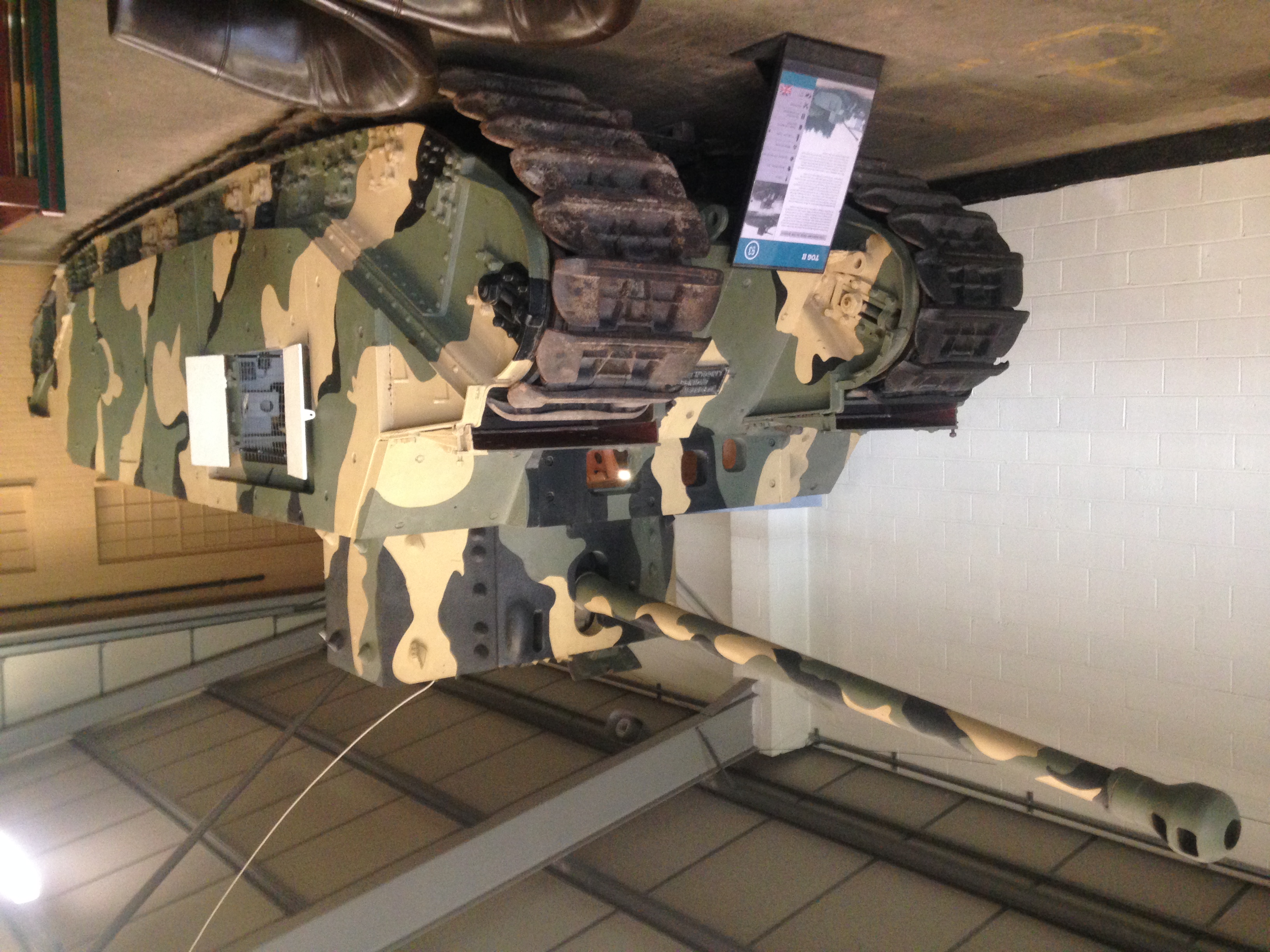
Gallows Hill Images
Images are sourced within 2km of 50.718548/-2.2233763 or Grid Reference SY8491. Thanks to Geograph Open Source API. All images are credited.


Gallows Hill is located at Grid Ref: SY8491 (Lat: 50.718548, Lng: -2.2233763)
Unitary Authority: Dorset
Police Authority: Dorset
What 3 Words
///articulated.appointed.powder. Near Bovington Camp, Dorset
Nearby Locations
Related Wikis


Nearby Amenities
Located within 500m of 50.718548,-2.2233763Have you been to Gallows Hill?
Leave your review of Gallows Hill below (or comments, questions and feedback).