Choppera Hill
Hill, Mountain in Yorkshire Richmondshire
England
Choppera Hill
Chop Gate, also known as Choppera Hill, is a small village situated in the Hambleton district of North Yorkshire, England. Nestled within the North York Moors National Park, this picturesque area is renowned for its stunning natural beauty and breathtaking views.
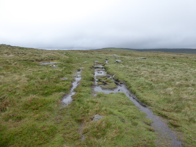
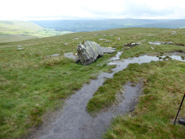
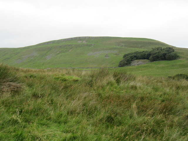
Chop Gate is located on the western edge of the North York Moors, offering visitors and residents easy access to the vast moorland and rolling hills that make up the region. At an elevation of approximately 400 meters, Choppera Hill provides commanding views of the surrounding countryside, with its distinctive heather-covered moors stretching out as far as the eye can see.
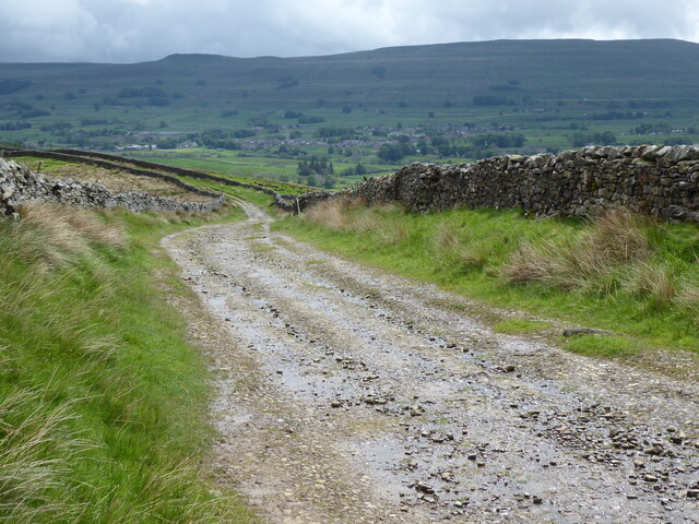
The village itself is quaint and peaceful, with a small population of locals who are known for their warm hospitality. The traditional stone buildings and charming cottages add to the village's rustic appeal. Visitors to Choppera Hill can enjoy exploring the nearby walking trails, which offer opportunities to spot wildlife such as grouse, deer, and birds of prey.
For those seeking outdoor activities, the area is a paradise. Mountain biking, horseback riding, and hiking are popular pursuits, with trails suitable for all levels of experience. Additionally, Choppera Hill is a gateway to the wider North York Moors, where visitors can explore ancient landmarks, such as the historic ruins of Rievaulx Abbey and the atmospheric Kirkham Priory.
Chop Gate is a hidden gem in Yorkshire, offering a peaceful retreat and a chance to immerse oneself in the stunning natural landscapes of the North York Moors. Whether exploring the surrounding moorland, enjoying outdoor activities, or simply taking in the breathtaking views, Choppera Hill is a must-visit destination for nature enthusiasts and those seeking a tranquil escape.
If you have any feedback on the listing, please let us know in the comments section below.
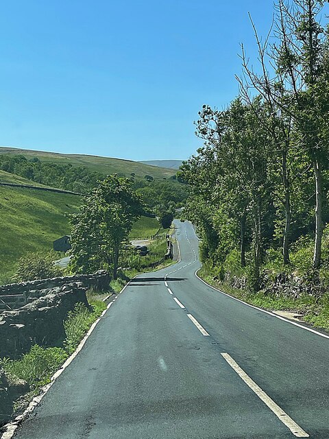
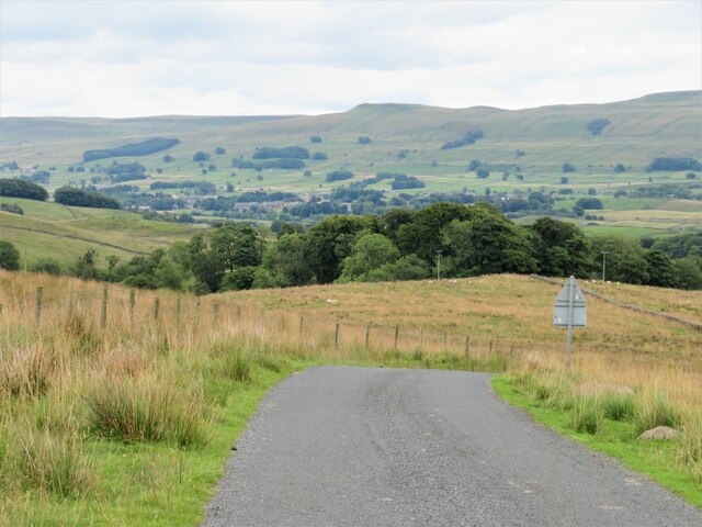
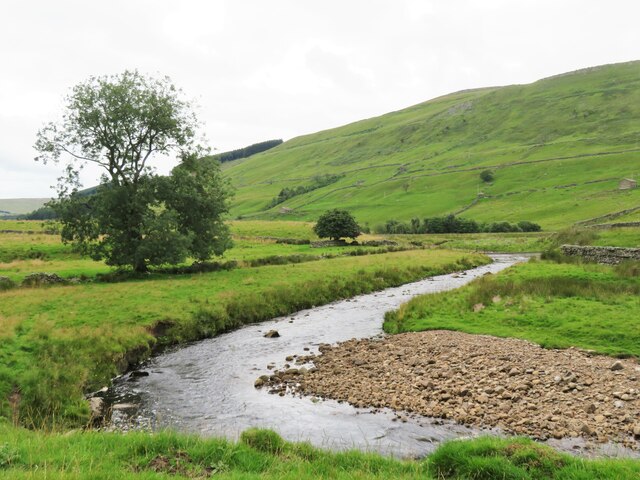
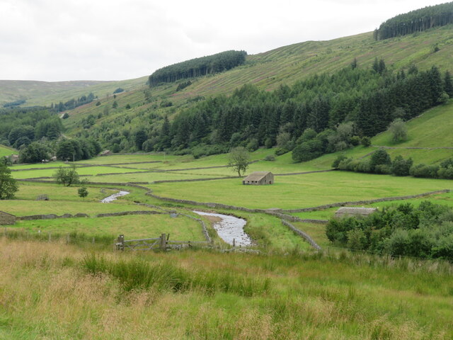
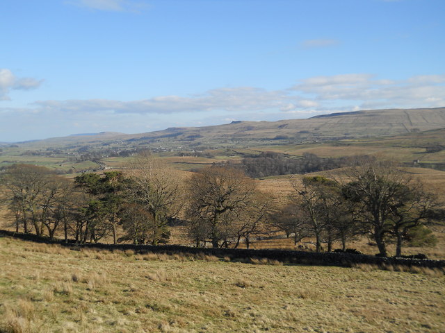
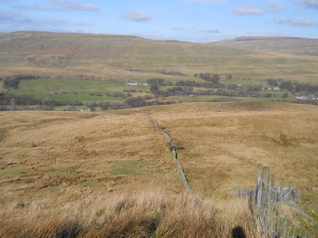
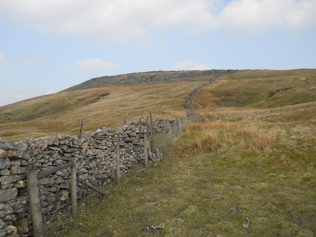
Choppera Hill Images
Images are sourced within 2km of 54.327557/-2.2427094 or Grid Reference SD8492. Thanks to Geograph Open Source API. All images are credited.

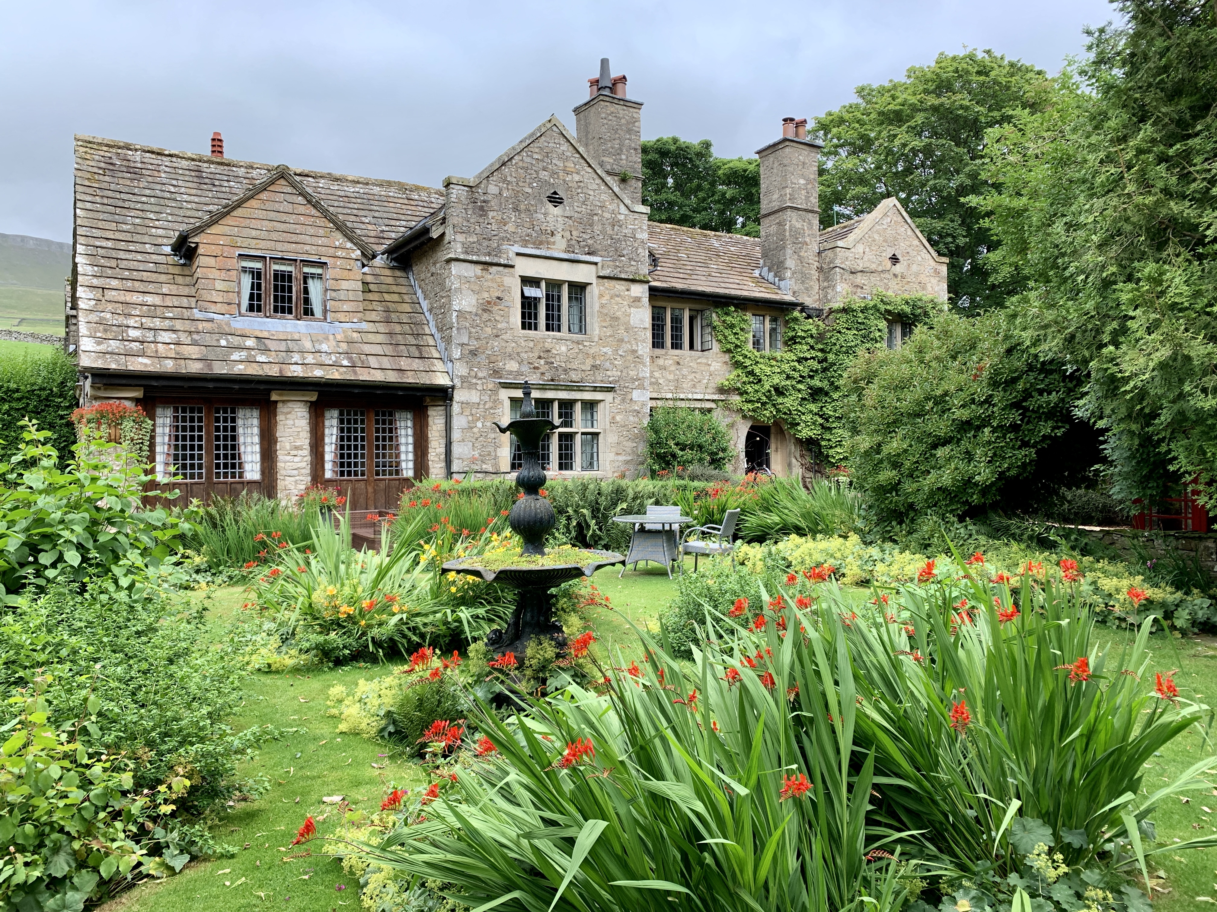
![Pry House, Appersett Farmland in upper Wensleydale.
[Image formed from 2 photos merged together.]](https://s0.geograph.org.uk/geophotos/07/23/49/7234920_6836e27c.jpg)

Choppera Hill is located at Grid Ref: SD8492 (Lat: 54.327557, Lng: -2.2427094)
Division: North Riding
Administrative County: North Yorkshire
District: Richmondshire
Police Authority: North Yorkshire
What 3 Words
///fishery.anthems.chitchat. Near Kirkby Stephen, Cumbria
Nearby Locations
Related Wikis

Cotter Force
Cotter Force is a small waterfall on Cotterdale Beck, a minor tributary of the River Ure, near the mouth of Cotterdale, a side dale in Wensleydale, North...

Cotterdale
Cotterdale is a small side dale and hamlet on the north side of Wensleydale in North Yorkshire, England. The dale lies to the west of Great Shunner Fell...

Appersett
Appersett is a hamlet in the Yorkshire Dales in the Richmondshire district of North Yorkshire, England one mile (1.6 km) west of Hawes. It lies on the...

Hardraw
Hardraw is a hamlet near Hawes within the Yorkshire Dales in North Yorkshire, England. It takes its name from the nearby Hardraw Force waterfall. The old...

St Mary and St John's Church, Hardraw
St Mary and St John's Church, Hardraw (also Hardrow) is a Grade II listed parish church in the Church of England: 181 in Hardraw, North Yorkshire. �...

Hardraw Force
Hardraw Force (OS grid ref: SD869917) is a waterfall on Hardraw Beck in Hardraw Scar, a wooded ravine just outside the hamlet of Hardraw, 0.9 miles (1...

Simonstone, North Yorkshire
Simonstone is a hamlet near Hawes and Hardraw Force within the Yorkshire Dales in North Yorkshire, England. == References ==
Stone House, Hawes
Stone House is a Grade II listed building in the civil parish of High Abbotside, near Hawes, North Yorkshire, England. == History == Stone House was built...
Nearby Amenities
Located within 500m of 54.327557,-2.2427094Have you been to Choppera Hill?
Leave your review of Choppera Hill below (or comments, questions and feedback).