Choppera Gill Wood
Wood, Forest in Yorkshire Richmondshire
England
Choppera Gill Wood
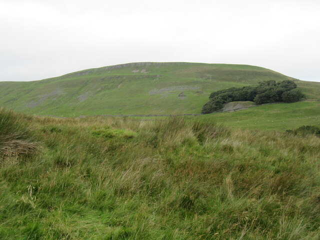
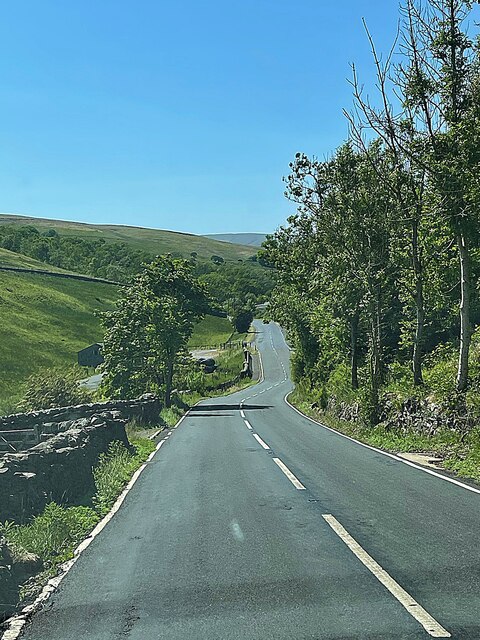
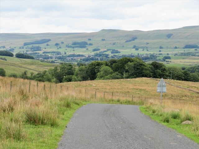
Chop Gate is a small village located in the northern part of the North York Moors National Park in Yorkshire, England. Known for its picturesque landscapes and natural beauty, the village is surrounded by dense forests and woodlands, making it an ideal destination for nature enthusiasts and outdoor lovers.
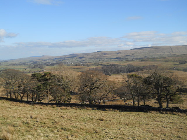
One of the notable features of Choppera Gill Wood is the presence of several species of trees, including oak, beech, and birch, which create a vibrant and diverse ecosystem. The wood is home to various wildlife, such as deer, foxes, and a variety of bird species, making it a popular spot for birdwatching and animal spotting.
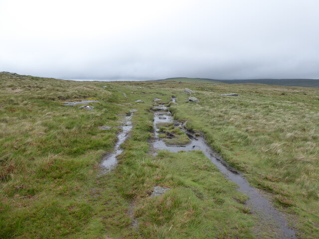
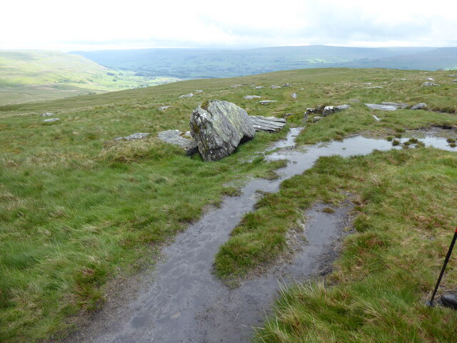
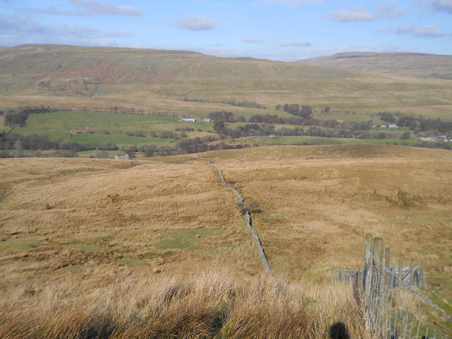
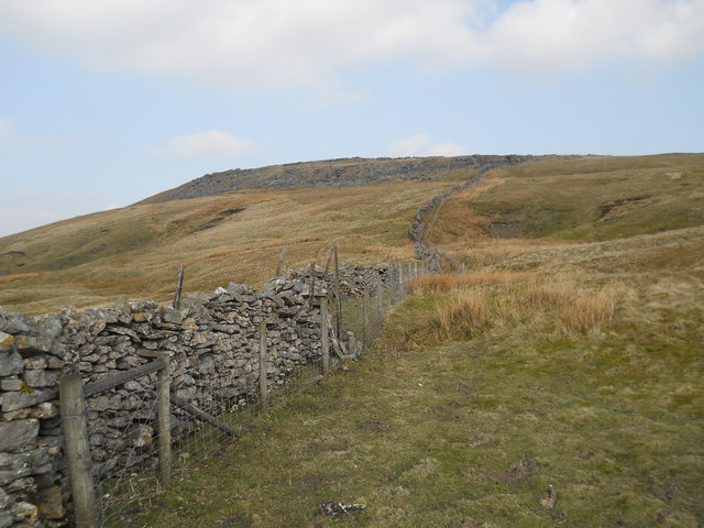
The wood also offers numerous walking and hiking trails, allowing visitors to explore its enchanting surroundings. These trails provide breathtaking views of the surrounding countryside and offer an opportunity to immerse oneself in the tranquility of nature.
Choppera Gill Wood is also known for its historical significance. The wood has been a part of the local landscape for centuries, and remnants of ancient settlements and structures can still be found within its boundaries. These historical artifacts serve as a testament to the rich cultural heritage of the area.
In conclusion, Choppera Gill Wood is a charming and captivating destination in Yorkshire, offering visitors a chance to experience the beauty of nature and explore the region's rich history. Whether it's a leisurely walk through the woodlands or an adventurous hike, this woodland oasis has something to offer for everyone.
If you have any feedback on the listing, please let us know in the comments section below.
Choppera Gill Wood Images
Images are sourced within 2km of 54.327498/-2.2408793 or Grid Reference SD8492. Thanks to Geograph Open Source API. All images are credited.

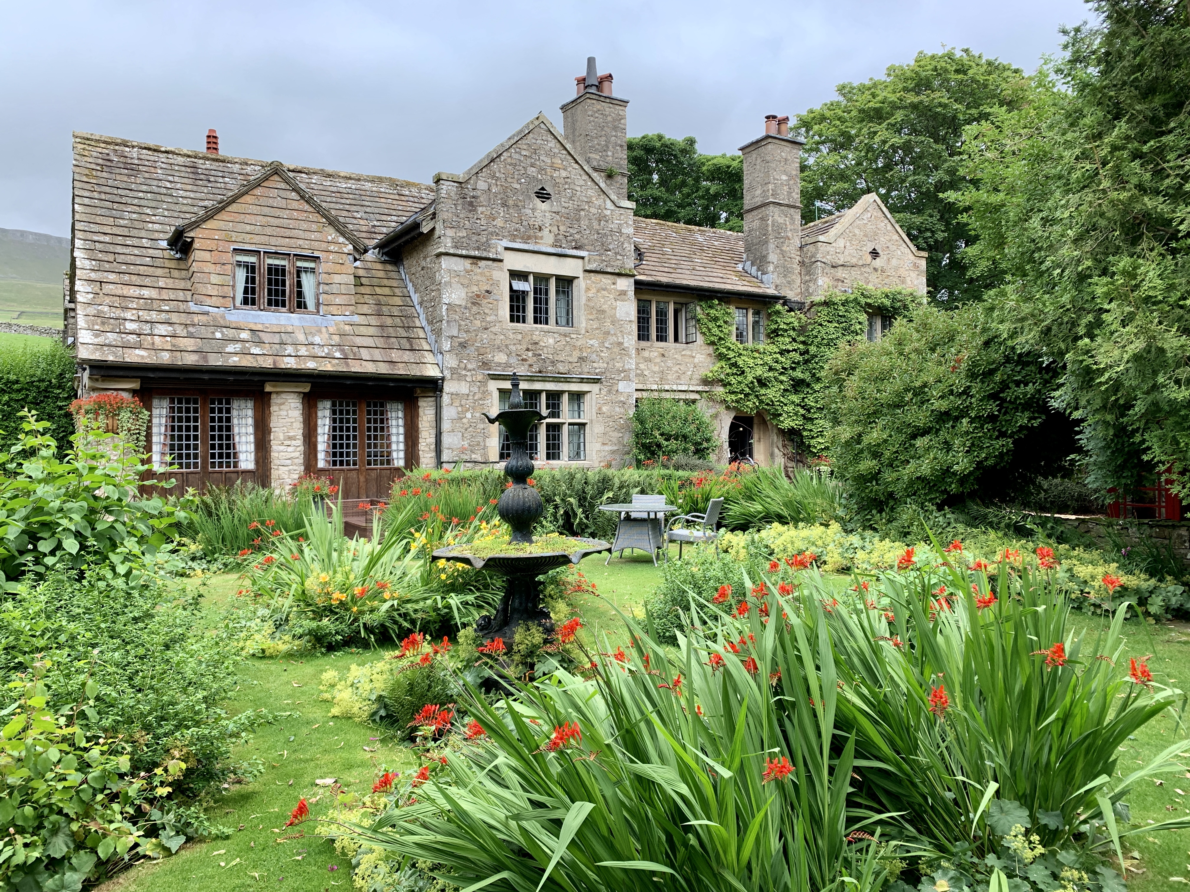
![Pry House, Appersett Farmland in upper Wensleydale.
[Image formed from 2 photos merged together.]](https://s0.geograph.org.uk/geophotos/07/23/49/7234920_6836e27c.jpg)

Choppera Gill Wood is located at Grid Ref: SD8492 (Lat: 54.327498, Lng: -2.2408793)
Division: North Riding
Administrative County: North Yorkshire
District: Richmondshire
Police Authority: North Yorkshire
What 3 Words
///panels.blacken.trophy. Near Kirkby Stephen, Cumbria
Nearby Locations
Related Wikis

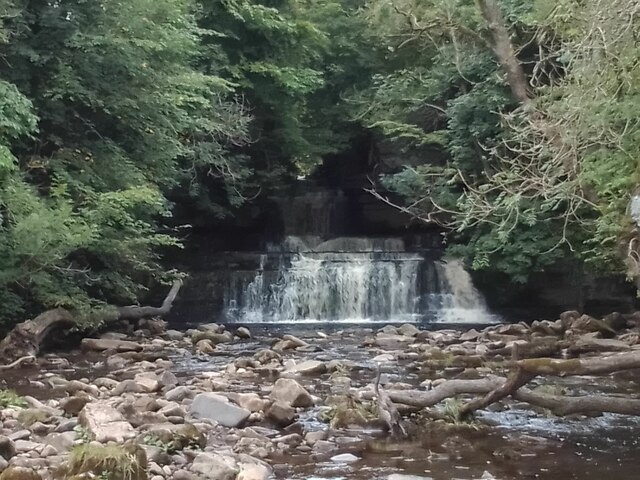
Cotter Force
Cotter Force is a small waterfall on Cotterdale Beck, a minor tributary of the River Ure, near the mouth of Cotterdale, a side dale in Wensleydale, North...

Cotterdale
Cotterdale is a small side dale and hamlet on the north side of Wensleydale in North Yorkshire, England. The dale lies to the west of Great Shunner Fell...

Appersett
Appersett is a hamlet in the Yorkshire Dales in the Richmondshire district of North Yorkshire, England one mile (1.6 km) west of Hawes. It lies on the...

Hardraw
Hardraw is a hamlet near Hawes within the Yorkshire Dales in North Yorkshire, England. It takes its name from the nearby Hardraw Force waterfall. The old...

St Mary and St John's Church, Hardraw
St Mary and St John's Church, Hardraw (also Hardrow) is a Grade II listed parish church in the Church of England: 181 in Hardraw, North Yorkshire. �...

Hardraw Force
Hardraw Force (OS grid ref: SD869917) is a waterfall on Hardraw Beck in Hardraw Scar, a wooded ravine just outside the hamlet of Hardraw, 0.9 miles (1...

Simonstone, North Yorkshire
Simonstone is a hamlet near Hawes and Hardraw Force within the Yorkshire Dales in North Yorkshire, England. == References ==
Stone House, Hawes
Stone House is a Grade II listed building in the civil parish of High Abbotside, near Hawes, North Yorkshire, England. == History == Stone House was built...
Related Videos
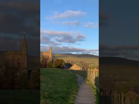
Beautiful English countryside winter sunset ~ Yorkshire Dales National Park
england #countryside #shorts #yorkshire.
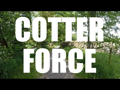
Cotter Force
A swim in the very accessible Cotter Force, followed by some exploring... Starting from lay-by parking: DL8 3LR The first video in ...

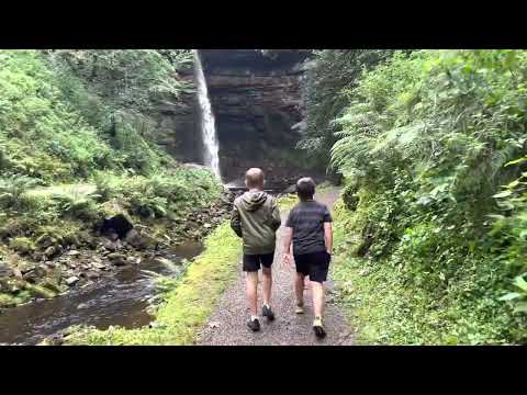
Hawes to Hardraw falls virtual walking tour
Nice little jaunt out from Hawes, North Yorkshire Dales to Hardraw falls. 12/02/22.
Nearby Amenities
Located within 500m of 54.327498,-2.2408793Have you been to Choppera Gill Wood?
Leave your review of Choppera Gill Wood below (or comments, questions and feedback).