Cheyne Hill

Hill, Mountain in Kincardineshire

Scotland

Cheyne Hill

Forestry road, Hill of Swanley
Forestry road, Hill of Swanley Credit: Steven Brown

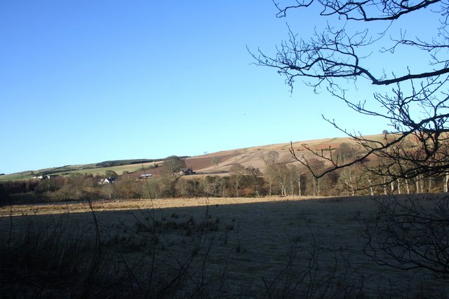
Cheyne Hill is a prominent hill located in Kincardineshire, Scotland. Situated in the northeastern part of the country, it is part of the Grampian Mountains and offers breathtaking views of the surrounding landscape. With an elevation of approximately 472 meters (1,549 feet), it stands as a prominent landmark in the region.

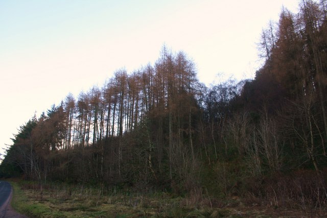
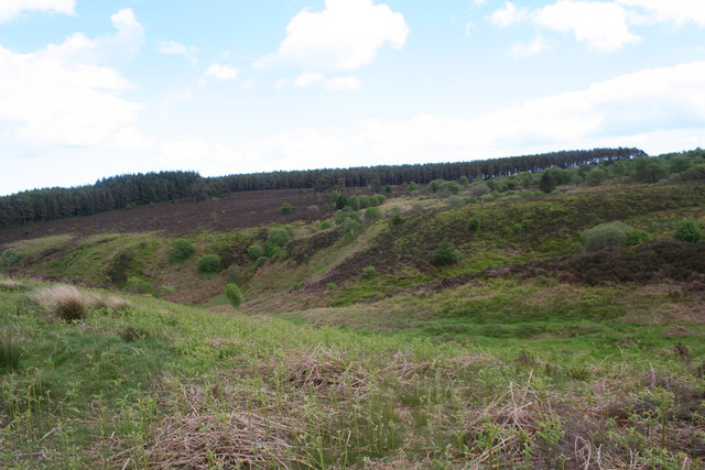
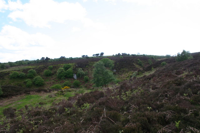
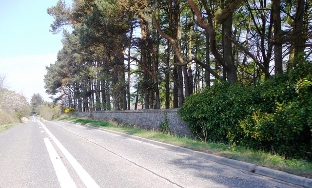
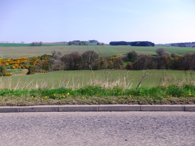
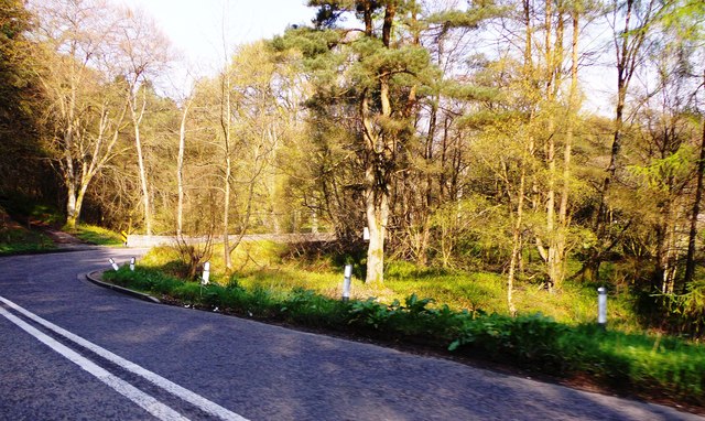
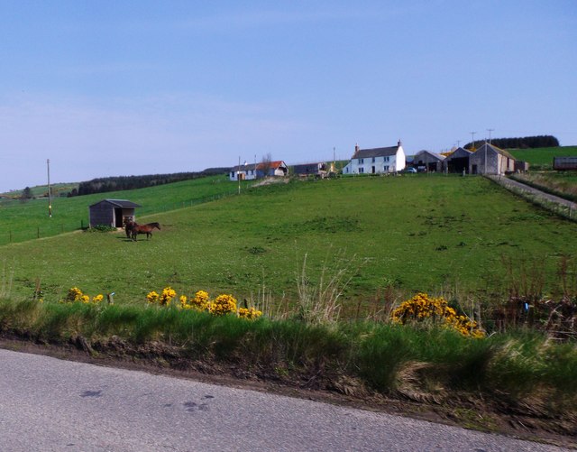
The hill is characterized by its gentle slopes, covered with lush vegetation including heather, grasses, and scattered trees. It is a popular destination for hikers and nature enthusiasts, offering a variety of trails to explore. The ascent to the summit is relatively moderate, making it accessible to people of various fitness levels.

At the top of Cheyne Hill, visitors are rewarded with panoramic vistas of the surrounding countryside, including the North Sea to the east and the Cairngorms to the west. On clear days, it is even possible to see as far as the city of Aberdeen, which lies around 40 kilometers (25 miles) to the northeast.

The hill also holds historical significance, with remnants of ancient settlements and fortifications dotting its slopes. These archaeological sites provide a glimpse into the area's past, offering valuable insight into the lives of the people who once inhabited the region.

Overall, Cheyne Hill is a picturesque and culturally significant destination, drawing visitors from both near and far. Its natural beauty, combined with its historical and archaeological features, make it a must-visit location for those seeking to explore the scenic landscapes and rich heritage of Kincardineshire.

If you have any feedback on the listing, please let us know in the comments section below.
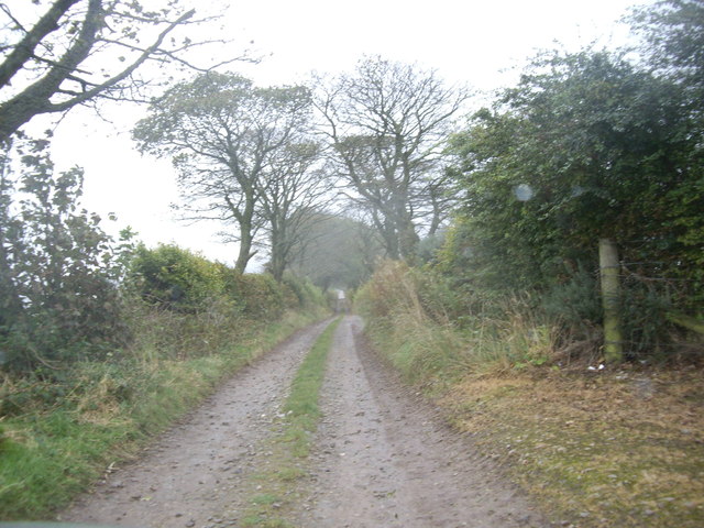
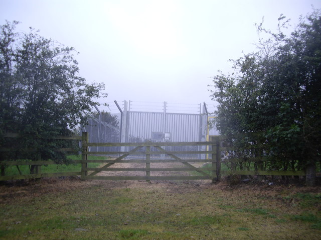
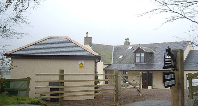
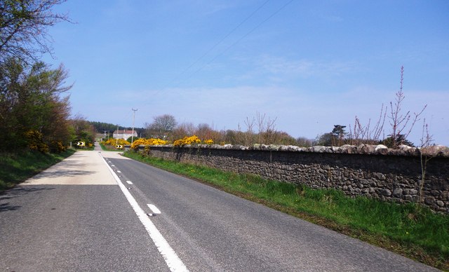
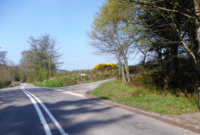
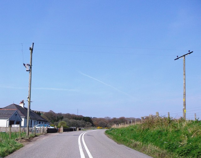
Cheyne Hill Images

Images are sourced within 2km of 56.977381/-2.2731512 or Grid Reference NO8387. Thanks to Geograph Open Source API. All images are credited.

Forestry road, Hill of Swanley
Cowie Strath Fields, in shadow, by the meanders of the Cowie with Nether Findlayson behind.
Cowie Strath
Fields, in shadow, by the meanders of the Cowie with Nether Findlayson behind.
Cheynehill Wood Woodland by the A957.
Cheynehill Wood
Woodland by the A957.
Glenton Dip A small depression before the Glenton Belt.
Glenton Dip
A small depression before the Glenton Belt.
Glenton Belt The Glenton Belt on Cheynehill.
Glenton Belt
The Glenton Belt on Cheynehill.
A lane to Fetteresso Castle But 'No Access' says the sign by North Lodge!
A lane to Fetteresso Castle
But 'No Access' says the sign by North Lodge!
Lane to North Lodge, Fetteresso
Gas Monitor enclosure Near North Lodge, Fetteresso Castle.
Gas Monitor enclosure
Near North Lodge, Fetteresso Castle.
Blairs of Fetteresso
A dog-leg bend in the A957  to Banchory Skirting around the perimeter wall of Ury Estate. The track ahead at the corner of the main road leads to Highfield.
A dog-leg bend in the A957 to Banchory
Skirting around the perimeter wall of Ury Estate. The track ahead at the corner of the main road leads to Highfield.
Ury Hill Lodge Footpath entry to Ury House from A957.
Ury Hill Lodge
Footpath entry to Ury House from A957.
The A957 around the western edge of Ury Estate Where the road summits/plateaus alongside the estate boundary wall, before dipping down to cross the Cowie Water via the Findlayston Bridge.
The A957 around the western edge of Ury Estate
Where the road summits/plateaus alongside the estate boundary wall, before dipping down to cross the Cowie Water via the Findlayston Bridge.
View NNE over valley of Water of Cowie And Ury Estate towards the Hauff of Ury - an old burial ground on the skyline eminence in centre shot <a href="https://www.geograph.org.uk/gridref/NO855889">NO855889</a>.
View NNE over valley of Water of Cowie
And Ury Estate towards the Hauff of Ury - an old burial ground on the skyline eminence in centre shot NO855889.
Approaching Findlayston Bridge on A957 Where road to Banchory crosses Water of Cowie.
Approaching Findlayston Bridge on A957
Where road to Banchory crosses Water of Cowie.
Paddock and stable at Findlayston farm Seen from the A957.
Paddock and stable at Findlayston farm
Seen from the A957.
Road junction near Mowtie Where minor road to Raedykes Roman Camp leaves A957 from Stonehaven.
Road junction near Mowtie
Where minor road to Raedykes Roman Camp leaves A957 from Stonehaven.
Bend in A957 below Cowton With a pair of cottages on left, backing onto the Cowton Burn.
Bend in A957 below Cowton
With a pair of cottages on left, backing onto the Cowton Burn.
A957 approaching Cowton Bridge A narrow old stone bridge on a hairpin bend over the Cowton Burn; proceed with utmost caution!
A957 approaching Cowton Bridge
A narrow old stone bridge on a hairpin bend over the Cowton Burn; proceed with utmost caution!
Show me another place!

Cheyne Hill is located at Grid Ref: NO8387 (Lat: 56.977381, Lng: -2.2731512)

Unitary Authority: Aberdeenshire

Police Authority: North East

What 3 Words

///doubt.package.sunblock. Near Stonehaven, Aberdeenshire

Nearby Locations

Glenton Belt Cheyne Hill

Related Wikis

Rickarton House

Rickarton House is a 19th-century country house in Kincardineshire, Scotland. It lies approximately three-and-a-half miles northwest of Stonehaven in the...

Cowton Burn

Cowton Burn is a stream that rises in the Mounth, or eastern range of the Grampian Mountains, on some of the northwest slopes of the Durris Forest west...
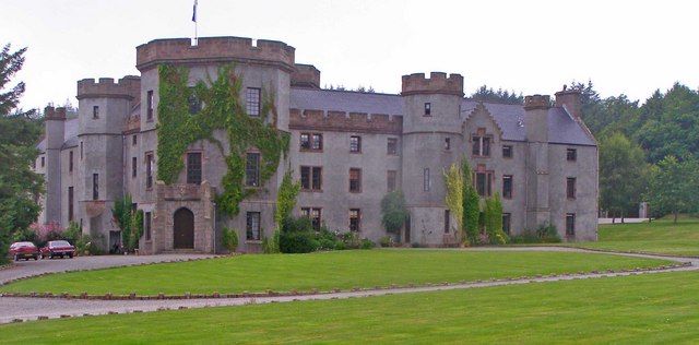
Fetteresso Castle

Fetteresso Castle is a 14th-century tower house, rebuilt in 1761 as a Scottish Gothic style Palladian manor, with clear evidence of prehistoric use of...

Tewel

Tewel is a hamlet located approximately two miles west of Stonehaven, Kincardineshire on the Auchenblae Road in Northeast Scotland. It consists of: Tewel...

Nearby Amenities

Located within 500m of 56.977381,-2.2731512
Cheyne Hill
Ele: 170
Natural: peak
Lat/Long: 56.9776796/-2.2727967
Power: pole
Lat/Long: 56.9788562/-2.2759704
Material: wood
Power: pole
Lat/Long: 56.9797088/-2.276436
Material: wood
Power: pole
Lat/Long: 56.9805797/-2.2768971
Material: wood
Power: pole
Lat/Long: 56.9809172/-2.2770877
Material: wood
Power: pole
Lat/Long: 56.9812648/-2.2772813
Power: pole
Lat/Long: 56.9734356/-2.2713445
Power: pole
Lat/Long: 56.9741065/-2.2717364
Power: pole
Lat/Long: 56.9747791/-2.2721283
Power: pole
Lat/Long: 56.9751669/-2.2726739
Power: pole
Lat/Long: 56.9757063/-2.273659
Power: pole
Lat/Long: 56.9764978/-2.273407
Power: pole
Lat/Long: 56.9772784/-2.2731641
Power: pole
Lat/Long: 56.9780656/-2.272929
Power: pole
Lat/Long: 56.979249/-2.2725509
Power: pole
Lat/Long: 56.9791184/-2.2736928
Power: pole
Lat/Long: 56.9789869/-2.2748101
Power: pole
Lat/Long: 56.9787298/-2.2770877
Material: wood
Power: pole
Lat/Long: 56.9785949/-2.2783064
Material: wood
Power: pole
Lat/Long: 56.978471/-2.2794267
Material: wood
Power: pole
Lat/Long: 56.9783261/-2.2807023
Power: pole
Lat/Long: 56.9747355/-2.2712954
Power: pole
Lat/Long: 56.9746987/-2.2704793
The data included in this document is from www.openstreetmap.org. The data is made available under ODbL.

Have you been to Cheyne Hill?

Leave your review of Cheyne Hill below (or comments, questions and feedback).