Glenton Belt

Wood, Forest in Kincardineshire

Scotland

Glenton Belt

Forestry road, Hill of Swanley
Forestry road, Hill of Swanley Credit: Steven Brown

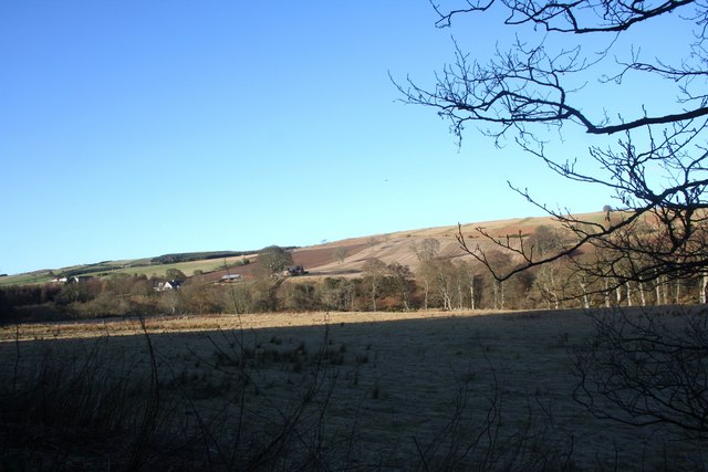
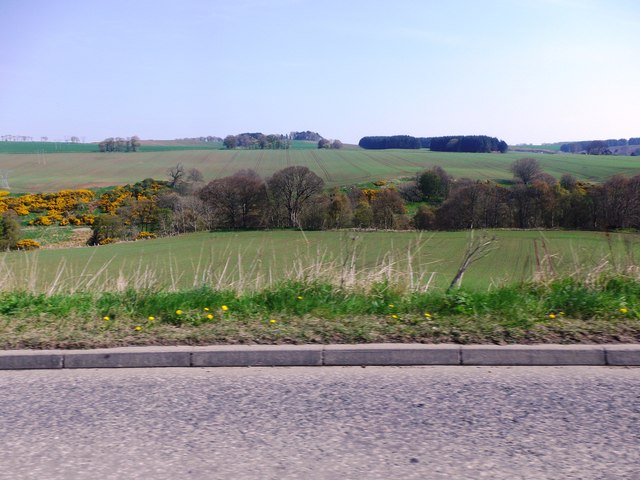
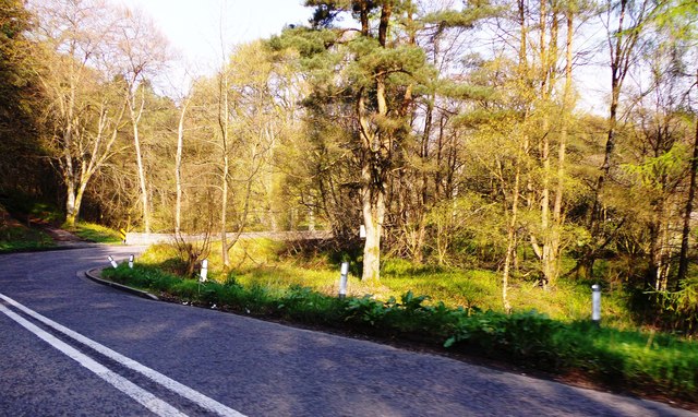
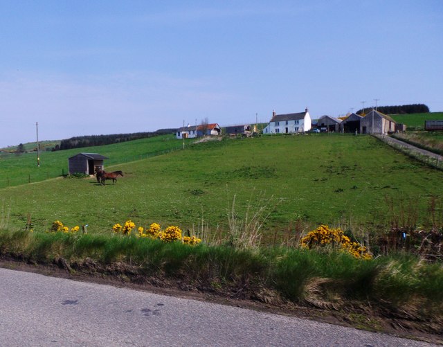
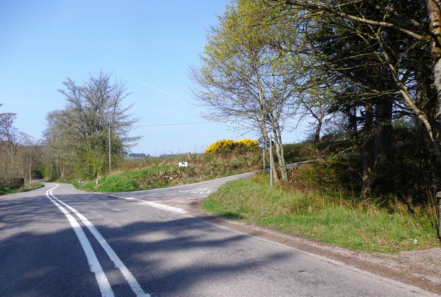
Glenton Belt, located in Kincardineshire, Scotland, is a picturesque wood and forest area renowned for its natural beauty and diverse wildlife. Covering an expansive area of approximately 500 acres, this woodland is a popular destination for nature enthusiasts, hikers, and birdwatchers.

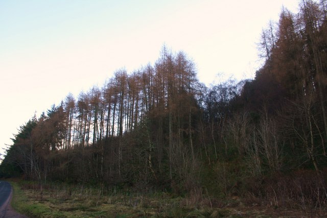
The forest is primarily composed of native Scottish tree species such as oak, birch, and pine, creating a richly diverse ecosystem. The dense canopy provides shelter for a variety of woodland creatures including red squirrels, roe deer, and a wide array of bird species. Birdwatchers flock to Glenton Belt to catch a glimpse of rare species such as the black grouse and the Scottish crossbill.

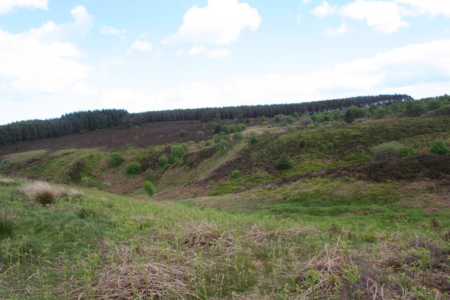
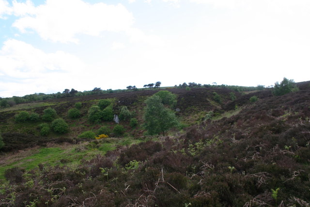
Traversing through the woodland, visitors can explore a network of well-maintained trails that offer stunning views of the surrounding landscape. The trails cater to all levels of fitness and are suitable for both casual walkers and more experienced hikers. Along the way, visitors can also stumble upon open meadows and small streams, adding to the charm of the area.

Glenton Belt is not only a haven for nature lovers but also a valuable educational resource. Local schools often organize field trips to the forest, providing students with an opportunity to learn about the diverse flora and fauna that call this woodland home.

Overall, Glenton Belt in Kincardineshire is a nature lover's paradise, offering breathtaking scenery, abundant wildlife, and a chance to immerse oneself in the tranquility of the Scottish countryside.

If you have any feedback on the listing, please let us know in the comments section below.
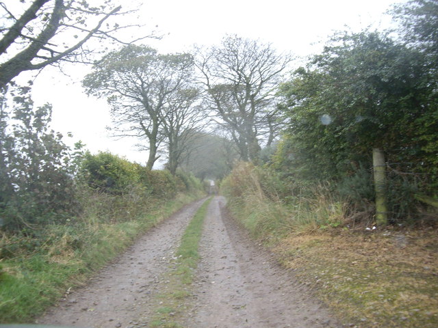
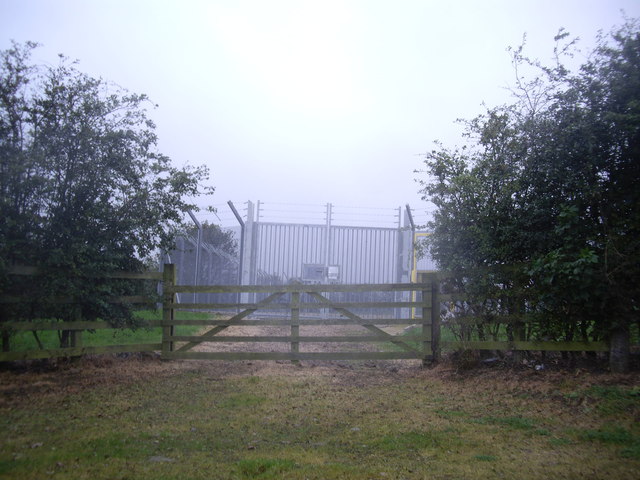
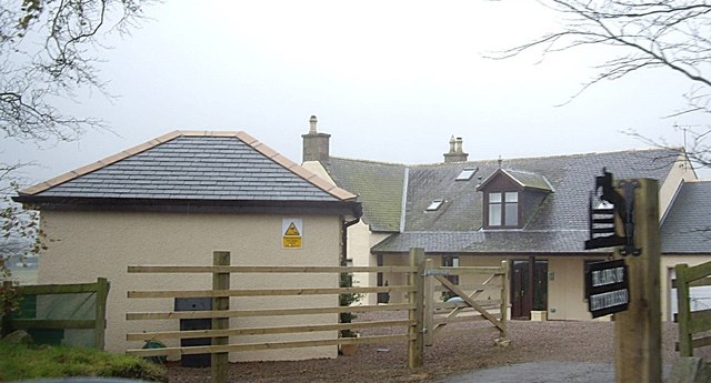
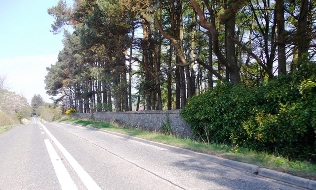
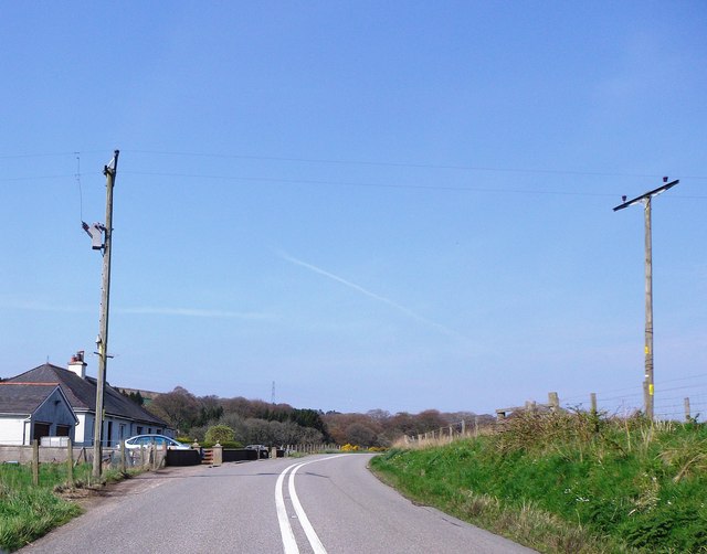
Glenton Belt Images

Images are sourced within 2km of 56.982366/-2.2773011 or Grid Reference NO8387. Thanks to Geograph Open Source API. All images are credited.

Forestry road, Hill of Swanley
Cowie Strath Fields, in shadow, by the meanders of the Cowie with Nether Findlayson behind.
Cowie Strath
Fields, in shadow, by the meanders of the Cowie with Nether Findlayson behind.
Cheynehill Wood Woodland by the A957.
Cheynehill Wood
Woodland by the A957.
Glenton Dip A small depression before the Glenton Belt.
Glenton Dip
A small depression before the Glenton Belt.
Glenton Belt The Glenton Belt on Cheynehill.
Glenton Belt
The Glenton Belt on Cheynehill.
Lane to North Lodge, Fetteresso
Gas Monitor enclosure Near North Lodge, Fetteresso Castle.
Gas Monitor enclosure
Near North Lodge, Fetteresso Castle.
Blairs of Fetteresso
The A957 around the western edge of Ury Estate Where the road summits/plateaus alongside the estate boundary wall, before dipping down to cross the Cowie Water via the Findlayston Bridge.
The A957 around the western edge of Ury Estate
Where the road summits/plateaus alongside the estate boundary wall, before dipping down to cross the Cowie Water via the Findlayston Bridge.
View NNE over valley of Water of Cowie And Ury Estate towards the Hauff of Ury - an old burial ground on the skyline eminence in centre shot <a href="https://www.geograph.org.uk/gridref/NO855889">NO855889</a>.
View NNE over valley of Water of Cowie
And Ury Estate towards the Hauff of Ury - an old burial ground on the skyline eminence in centre shot NO855889.
Approaching Findlayston Bridge on A957 Where road to Banchory crosses Water of Cowie.
Approaching Findlayston Bridge on A957
Where road to Banchory crosses Water of Cowie.
Paddock and stable at Findlayston farm Seen from the A957.
Paddock and stable at Findlayston farm
Seen from the A957.
Road junction near Mowtie Where minor road to Raedykes Roman Camp leaves A957 from Stonehaven.
Road junction near Mowtie
Where minor road to Raedykes Roman Camp leaves A957 from Stonehaven.
Bend in A957 below Cowton With a pair of cottages on left, backing onto the Cowton Burn.
Bend in A957 below Cowton
With a pair of cottages on left, backing onto the Cowton Burn.
A957 approaching Cowton Bridge A narrow old stone bridge on a hairpin bend over the Cowton Burn; proceed with utmost caution!
A957 approaching Cowton Bridge
A narrow old stone bridge on a hairpin bend over the Cowton Burn; proceed with utmost caution!
Low stone parapets of Cowton Bridge Where A957 makes a hairpin turn over the burn; not a place to tangle with oncoming HGVs!
Low stone parapets of Cowton Bridge
Where A957 makes a hairpin turn over the burn; not a place to tangle with oncoming HGVs!
Junction for Rooten Croft Off A957.
Junction for Rooten Croft
Off A957.
Road through Blairs Near the Highland boundary fault in Kincardineshire, the road sweeps up through trees.
Road through Blairs
Near the Highland boundary fault in Kincardineshire, the road sweeps up through trees.
Show me another place!

Glenton Belt is located at Grid Ref: NO8387 (Lat: 56.982366, Lng: -2.2773011)

Unitary Authority: Aberdeenshire

Police Authority: North East

What 3 Words

///visual.skinning.fake. Near Stonehaven, Aberdeenshire

Nearby Locations

Cheyne Hill Glenton Belt

Related Wikis

Rickarton House

Rickarton House is a 19th-century country house in Kincardineshire, Scotland. It lies approximately three-and-a-half miles northwest of Stonehaven in the...

Cowton Burn

Cowton Burn is a stream that rises in the Mounth, or eastern range of the Grampian Mountains, on some of the northwest slopes of the Durris Forest west...

Rickarton

Rickarton is a settlement in Aberdeenshire. It is situated on the A957 to the northwest of Stonehaven. Rickarton was served by the 105 bus between Stonehaven...
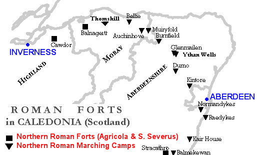
Raedykes

Raedykes is the site of a Roman marching camp located just over three miles (five kilometres) northwest of Stonehaven, Aberdeenshire, Scotland. National...

Nearby Amenities

Located within 500m of 56.982366,-2.2773011
Power: pole
Lat/Long: 56.9788562/-2.2759704
Material: wood
Power: pole
Lat/Long: 56.9797088/-2.276436
Material: wood
Power: pole
Lat/Long: 56.9805797/-2.2768971
Material: wood
Power: pole
Lat/Long: 56.9809172/-2.2770877
Material: wood
Power: pole
Lat/Long: 56.9812648/-2.2772813
Material: wood
Power: pole
Lat/Long: 56.9815981/-2.2774642
Material: wood
Power: pole
Lat/Long: 56.9824958/-2.2779483
Material: wood
Power: pole
Lat/Long: 56.9831389/-2.2776378
Power: pole
Lat/Long: 56.9836849/-2.2786921
Power: pole
Lat/Long: 56.984256/-2.2798017
Power: pole
Lat/Long: 56.985018/-2.2794605
Power: pole
Lat/Long: 56.9855715/-2.2800199
Power: pole
Lat/Long: 56.9861124/-2.2805809
Power: pole
Lat/Long: 56.979249/-2.2725509
Power: pole
Lat/Long: 56.9791184/-2.2736928
Power: pole
Lat/Long: 56.9789869/-2.2748101
Power: pole
Lat/Long: 56.9787298/-2.2770877
Material: wood
Power: pole
Lat/Long: 56.9785949/-2.2783064
Material: wood
Power: pole
Lat/Long: 56.978471/-2.2794267
Material: wood
Power: pole
Lat/Long: 56.9783261/-2.2807023
The data included in this document is from www.openstreetmap.org. The data is made available under ODbL.

Have you been to Glenton Belt?

Leave your review of Glenton Belt below (or comments, questions and feedback).