Crock Law
Hill, Mountain in Roxburghshire
Scotland
Crock Law
The requested URL returned error: 429 Too Many Requests
If you have any feedback on the listing, please let us know in the comments section below.
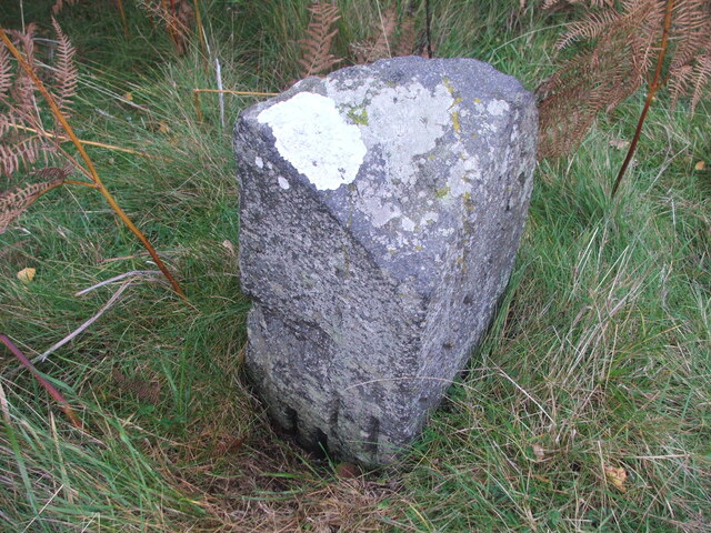
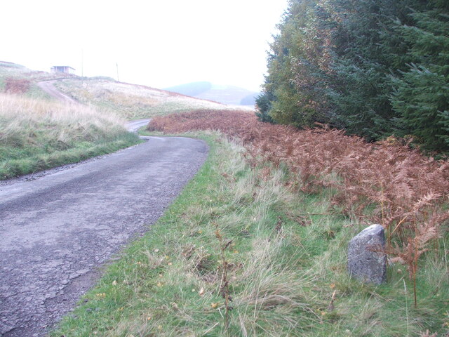
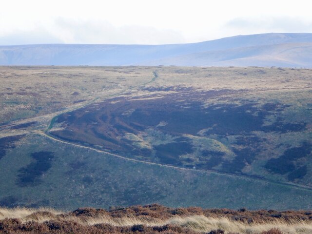
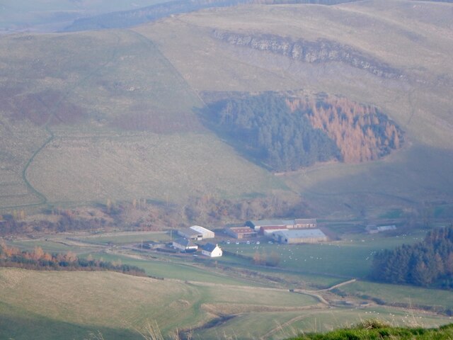
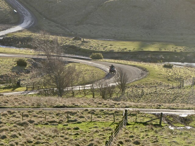
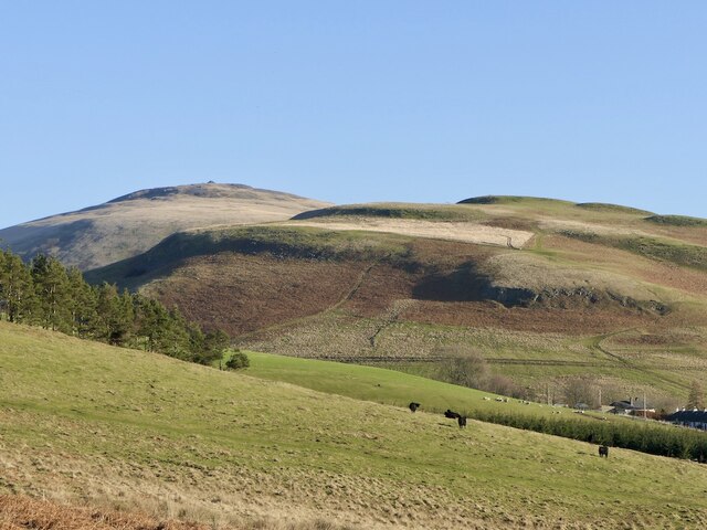
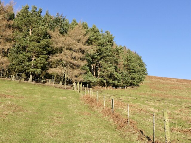
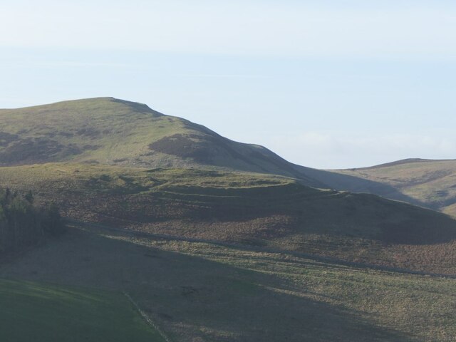
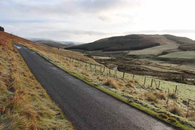
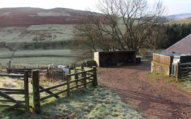
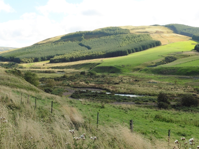
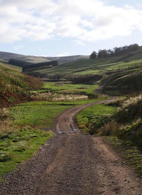
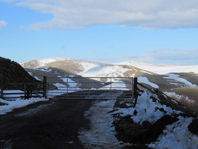
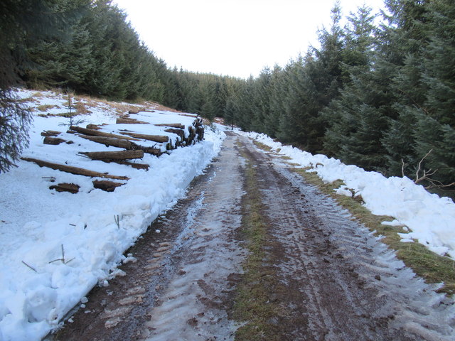
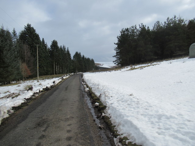
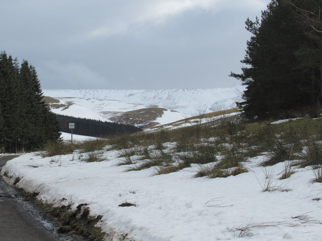
Crock Law Images
Images are sourced within 2km of 55.455851/-2.2626099 or Grid Reference NT8318. Thanks to Geograph Open Source API. All images are credited.

Crock Law is located at Grid Ref: NT8318 (Lat: 55.455851, Lng: -2.2626099)
Unitary Authority: The Scottish Borders
Police Authority: The Lothians and Scottish Borders
What 3 Words
///fragment.commenced.rebounded. Near Kirknewton, Northumberland
Nearby Locations
Related Wikis

Mowhaugh
Mowhaugh is a hamlet and farm steading near the Calroust Burn and the Bowmont Water, near Morebattle, in the Scottish Borders area of Scotland, and in...

Windy Gyle
Windy Gyle is a mountain in the Cheviot Hills range, on the border between England and Scotland. Like the other hills in the area, it is rounded and grass...

Hownam
Hownam or Hounam is a small village and parish situated 8 miles east of Jedburgh in the Scottish Borders area of Scotland, near the Anglo-Scottish border...

Cheviot Hills
The Cheviot Hills (), or sometimes The Cheviots, are a range of uplands straddling the Anglo-Scottish border between Northumberland and the Scottish Borders...
Nearby Amenities
Located within 500m of 55.455851,-2.2626099Have you been to Crock Law?
Leave your review of Crock Law below (or comments, questions and feedback).