Top Rays Hill

Hill, Mountain in Yorkshire Craven

England

Top Rays Hill

Hull Pot, Pen-y-Ghent
Hull Pot, Pen-y-Ghent Credit: habiloid

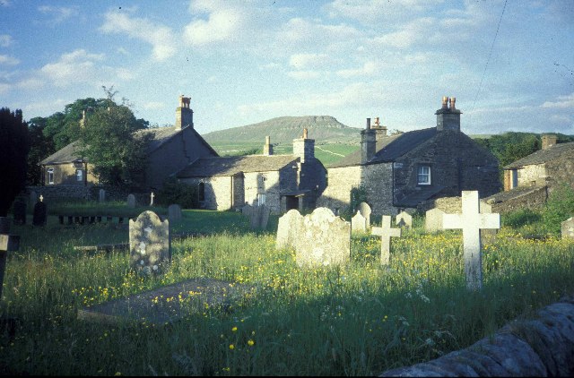
Top Rays Hill is a prominent hill located in Yorkshire, England. It is part of the Pennines mountain range and stands at an elevation of 532 meters (1,745 feet) above sea level. Situated in the northern part of Yorkshire, Top Rays Hill offers breathtaking panoramic views of the surrounding countryside, making it a popular destination for hikers, nature enthusiasts, and photographers.

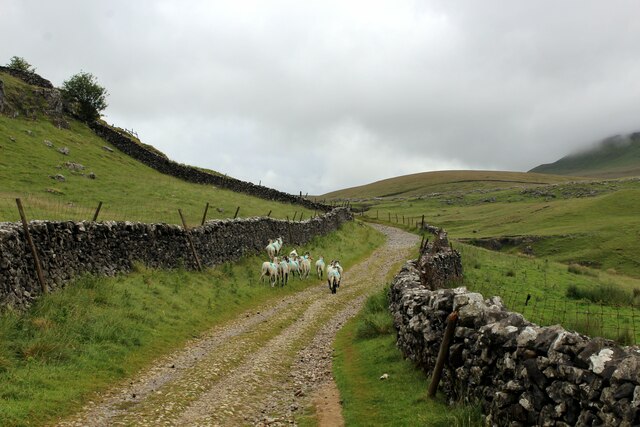
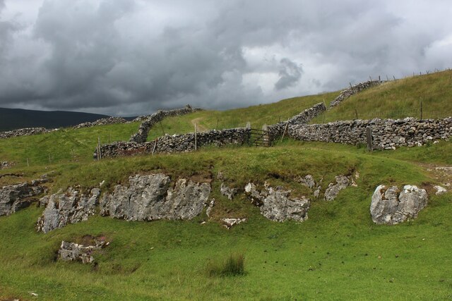
The hill is characterized by its steep slopes, rugged terrain, and rocky outcrops. Its unique geological features attract geologists and rock climbers from all over the country. The summit of Top Rays Hill is marked by a trig point, which serves as a navigational aid for walkers and a reference point for surveying purposes.

The hill is also known for its rich biodiversity. The surrounding area is home to a variety of flora and fauna, including heather, grasses, and wildflowers. Birdwatchers can spot various species of birds, such as peregrine falcons, kestrels, and grouse, while sheep and other livestock can be seen grazing on the lower slopes.

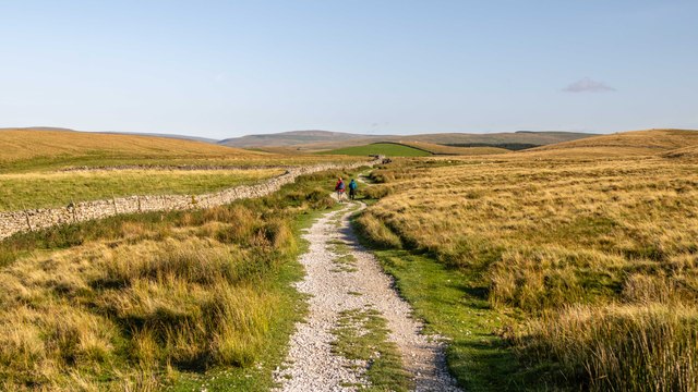
Top Rays Hill offers a range of walking routes and trails, catering to different levels of difficulty and fitness. Some of these trails lead to neighboring peaks, allowing visitors to explore the wider Pennines region. The hill is easily accessible by road, with ample parking facilities available nearby.

Overall, Top Rays Hill in Yorkshire is a natural gem that combines stunning landscapes, geological wonders, and diverse wildlife, making it a must-visit destination for outdoor enthusiasts and nature lovers alike.

If you have any feedback on the listing, please let us know in the comments section below.

Top Rays Hill Images

Images are sourced within 2km of 54.174649/-2.2676256 or Grid Reference SD8275. Thanks to Geograph Open Source API. All images are credited.

Hull Pot, Pen-y-Ghent
Hull Pot Beck, Pen-y-Ghent
Hull Pot, Pen-y-Ghent
Path crossing Hull Pot Beck, Pen-y-Ghent The stepping stones are submerged!
Path crossing Hull Pot Beck, Pen-y-Ghent
The stepping stones are submerged!
The Pennine Way near Sell Gill Holes
The Pennine Way near Sell Gill Hill
The Pennine Way near Penyghent Long Churn
The Pennine Way near Rough Hill
Sheep on Horton Scar Lane Walled track adopted by the Pennine Way National Trail, ascending towards Pen-y-Ghent and moorland surroundings.
Sheep on Horton Scar Lane
Walled track adopted by the Pennine Way National Trail, ascending towards Pen-y-Ghent and moorland surroundings.
On Whitber Hill Section of the Three Peaks challenge walk - a testing hike of 25 miles that is to be completed within 10 hours.
Once it was a slog through peat creating wide swathes of disturbed sloppy moorland - but now the authorities that be have created hard paths over much of the route, making it much easier to succeed while protecting the environment
On Whitber Hill
Section of the Three Peaks challenge walk - a testing hike of 25 miles that is to be completed within 10 hours. Once it was a slog through peat creating wide swathes of disturbed sloppy moorland - but now the authorities that be have created hard paths over much of the route, making it much easier to succeed while protecting the environment
Footbridge over Sell Gill Section of the Three Peaks challenge walk - a testing hike of 25 miles that is to be completed within 10 hours.
Once it was a slog through peat creating wide swathes of disturbed sloppy moorland - but now the authorities that be have created hard paths over much of the route, making it much easier to succeed while protecting the environment
Footbridge over Sell Gill
Section of the Three Peaks challenge walk - a testing hike of 25 miles that is to be completed within 10 hours. Once it was a slog through peat creating wide swathes of disturbed sloppy moorland - but now the authorities that be have created hard paths over much of the route, making it much easier to succeed while protecting the environment
Barn Ruins by Sell Gill Ruins of a barn with a splendid view down Ribblesdale as seen from the Pennine Way at Sell Gill.
Barn Ruins by Sell Gill
Ruins of a barn with a splendid view down Ribblesdale as seen from the Pennine Way at Sell Gill.
Pennine Way at Sell Gill The Pennine Way National Trail is joined by the Ribble Way long distance footpath along this section of an ancient packhorse route called Harber Scar Road.
Pennine Way at Sell Gill
The Pennine Way National Trail is joined by the Ribble Way long distance footpath along this section of an ancient packhorse route called Harber Scar Road.
The Pennine Way on Pen-y-ghent
The Pennine Way leaving Pen-y-ghent
The Pennine Way near Hunt Pot
Sell Gill Hill Limestone outcrops alongside the Pennine Way on Sell Gill Hill.
Sell Gill Hill
Limestone outcrops alongside the Pennine Way on Sell Gill Hill.
Jackdaw Hill Pennine Way beneath Jackdaw Hill.
Jackdaw Hill
Pennine Way beneath Jackdaw Hill.
Show me another place!

Top Rays Hill is located at Grid Ref: SD8275 (Lat: 54.174649, Lng: -2.2676256)

Division: West Riding

Administrative County: North Yorkshire

District: Craven

Police Authority: North Yorkshire

What 3 Words

///traded.monorail.jiffy. Near Settle, North Yorkshire

Related Wikis

Plover Hill

Plover Hill is an area of moorland lying to the north of Pen-y-ghent in the Yorkshire Dales and connected to it by an unbroken area of high ground. Whilst...

Pen-y-ghent

Pen-y-ghent or Penyghent is a fell in the Yorkshire Dales, England. It is the lowest of Yorkshire's Three Peaks at 2,277 feet (694 m); the other two being...

High Birkwith

High Birkwith is a hamlet in the Craven district of North Yorkshire, England. It is located north of the village of Horton in Ribblesdale and in the same...

Three Peaks Cyclo-Cross

The Three Peaks Cyclo-Cross is an annual cyclo-cross event over the Yorkshire three peaks of Ingleborough, Whernside and Pen-y-ghent, in Yorkshire, England...
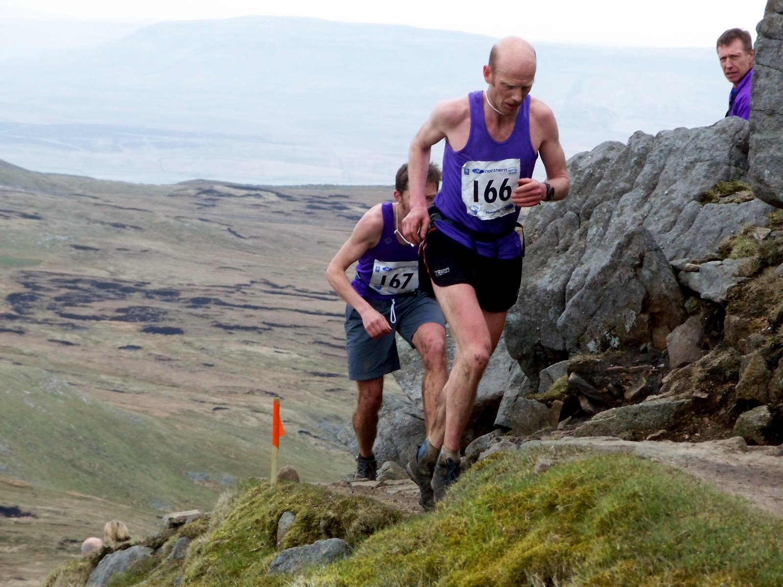
Three Peaks Race

The Three Peaks Race is a fell race held annually on the last weekend in April, starting and finishing in Horton in Ribblesdale. The course traverses the...

Horton in Ribblesdale

Horton in Ribblesdale is a small village and civil parish in the Craven district of North Yorkshire, England. It is situated in Ribblesdale on the Settle...

Brackenbottom

Brackenbottom is a village in Ribblesdale, North Yorkshire, England. == External links == Media related to Brackenbottom at Wikimedia Commons

Horton-in-Ribblesdale railway station

Horton-in-Ribblesdale is a railway station on the Settle and Carlisle Line, which runs between Carlisle and Leeds via Settle. The station, situated 47...

Nearby Amenities

Located within 500m of 54.174649,-2.2676256
Ford: yes
Seasonal: no
Lat/Long: 54.1703516/-2.2684667
Brown Hackeber Hill
Natural: peak
Source: OS 1:25k
Lat/Long: 54.1783133/-2.2703534
Crook o' Hindber Hill
Natural: peak
Source: OS 1:25k
Lat/Long: 54.1778863/-2.2632294
Top Rays Hill
Natural: peak
Source: OS 1:25k
Lat/Long: 54.1736396/-2.2695385
Barrier: stile
Lat/Long: 54.1703669/-2.2683308
Natural: sinkhole
Source: Bing
Lat/Long: 54.1715297/-2.2699875
Fleet Moss
Place: locality
Source: OS sheet 97,1851
Lat/Long: 54.1754391/-2.2622528
The data included in this document is from www.openstreetmap.org. The data is made available under ODbL.

Have you been to Top Rays Hill?

Leave your review of Top Rays Hill below (or comments, questions and feedback).