Todber Moss
Downs, Moorland in Yorkshire Craven
England
Todber Moss

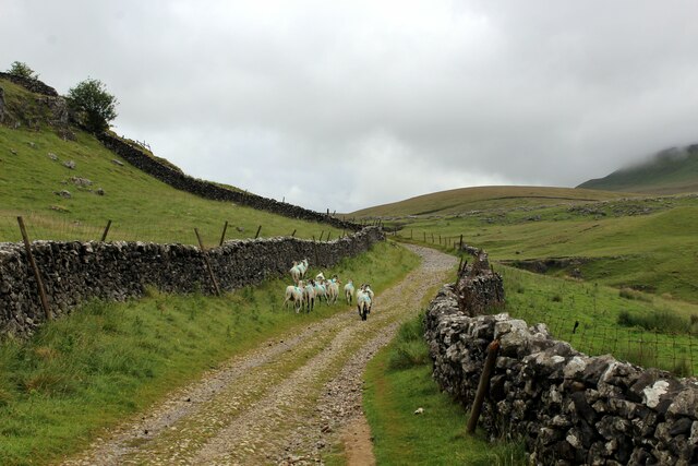
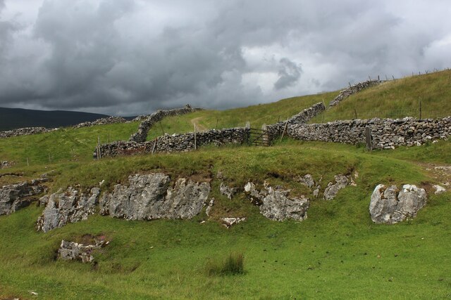
Todber Moss is a picturesque expanse of moorland and peat bog located in Yorkshire, England. Situated amidst the stunning Yorkshire Dales, this vast area of unspoiled natural beauty is a haven for nature enthusiasts and hikers alike. Covering an area of approximately 6 square miles, Todber Moss is a designated Site of Special Scientific Interest (SSSI) due to its unique ecosystem and diverse flora and fauna.
The moss consists of a combination of peat, heather, and grassland, creating a rich and varied landscape. Its low-lying nature allows for the accumulation of rainwater, resulting in the formation of several small pools and streams that dot the area. These wetland habitats provide a sanctuary for various bird species, including curlews, lapwings, and red grouse, making it a popular destination for birdwatchers.
Walking trails and footpaths crisscross the moss, allowing visitors to explore its beauty up close. The terrain is varied, with sections of open moorland and patches of thick heather. The undulating landscape offers breathtaking panoramic views of the surrounding countryside, making it a perfect spot for photography and relaxation.
Todber Moss also plays a vital role in carbon storage, acting as a natural carbon sink. The peat bog acts as a sponge, absorbing carbon dioxide from the atmosphere and storing it underground. This ecosystem service provided by Todber Moss contributes to mitigating climate change.
Overall, Todber Moss is a unique and captivating natural area, offering visitors an opportunity to immerse themselves in the tranquil beauty of the Yorkshire Downs and Moorland.
If you have any feedback on the listing, please let us know in the comments section below.
Todber Moss Images
Images are sourced within 2km of 54.173056/-2.2724713 or Grid Reference SD8275. Thanks to Geograph Open Source API. All images are credited.


Todber Moss is located at Grid Ref: SD8275 (Lat: 54.173056, Lng: -2.2724713)
Division: West Riding
Administrative County: North Yorkshire
District: Craven
Police Authority: North Yorkshire
What 3 Words
///admire.provider.messy. Near Settle, North Yorkshire
Nearby Locations
Related Wikis

Pen-y-ghent
Pen-y-ghent or Penyghent is a fell in the Yorkshire Dales, England. It is the lowest of Yorkshire's Three Peaks at 2,277 feet (694 m); the other two being...

Plover Hill
Plover Hill is an area of moorland lying to the north of Pen-y-ghent in the Yorkshire Dales and connected to it by an unbroken area of high ground. Whilst...

High Birkwith
High Birkwith is a hamlet in the Craven district of North Yorkshire, England. It is located north of the village of Horton in Ribblesdale and in the same...

Three Peaks Cyclo-Cross
The Three Peaks Cyclo-Cross is an annual cyclo-cross event over the Yorkshire three peaks of Ingleborough, Whernside and Pen-y-ghent, in Yorkshire, England...
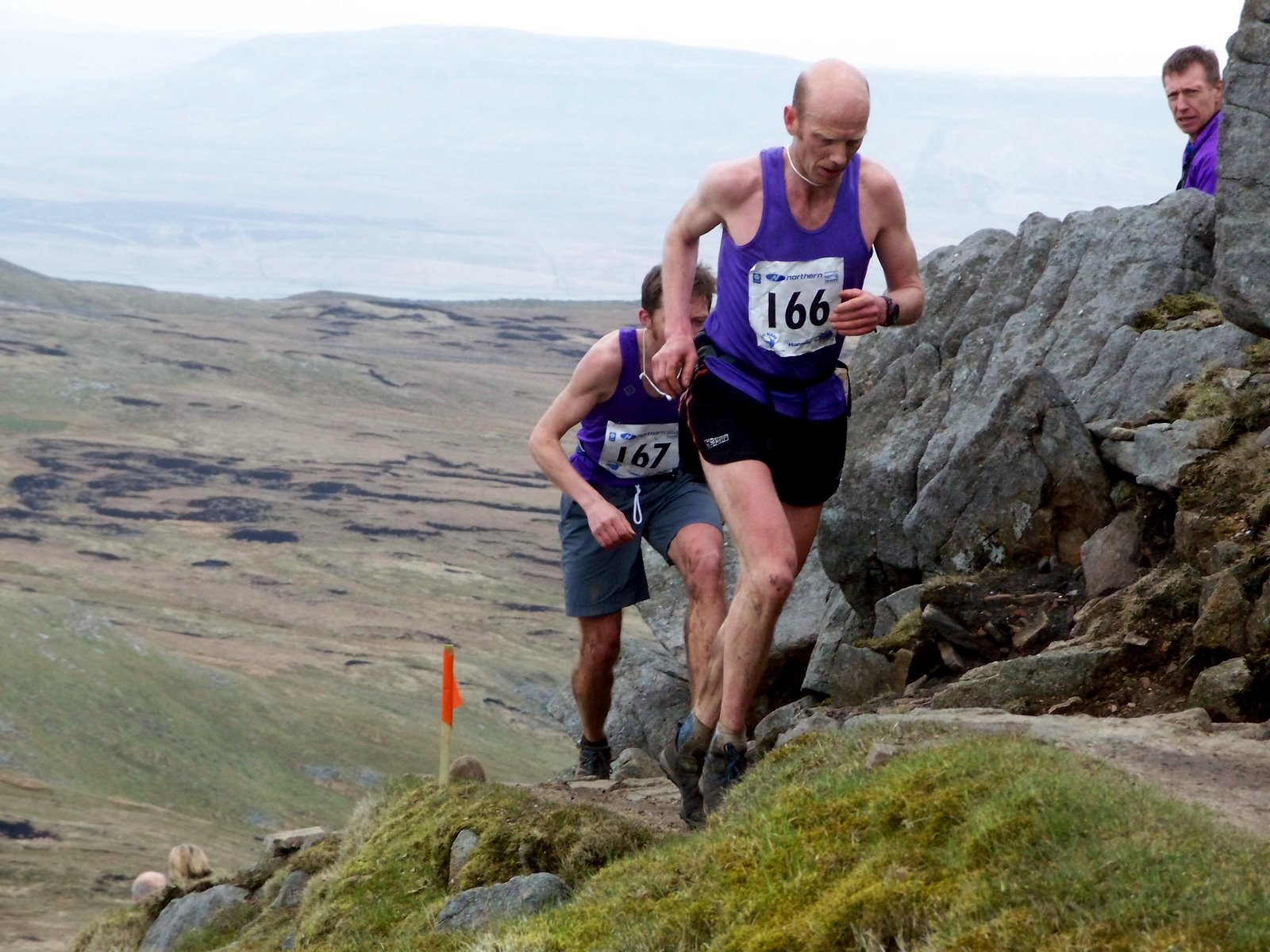
Three Peaks Race
The Three Peaks Race is a fell race held annually on the last weekend in April, starting and finishing in Horton in Ribblesdale. The course traverses the...
Horton in Ribblesdale
Horton in Ribblesdale is a small village and civil parish in the Craven district of North Yorkshire, England. It is situated in Ribblesdale on the Settle...

Brackenbottom
Brackenbottom is a village in Ribblesdale, North Yorkshire, England. == External links == Media related to Brackenbottom at Wikimedia Commons

Horton-in-Ribblesdale railway station
Horton-in-Ribblesdale is a railway station on the Settle and Carlisle Line, which runs between Carlisle and Leeds via Settle. The station, situated 47...
Nearby Amenities
Located within 500m of 54.173056,-2.2724713Have you been to Todber Moss?
Leave your review of Todber Moss below (or comments, questions and feedback).