Ackrey Gill Green
Downs, Moorland in Yorkshire Richmondshire
England
Ackrey Gill Green
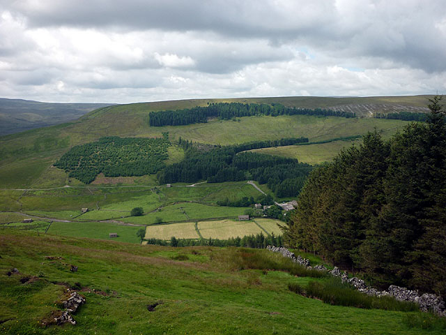
Ackrey Gill Green is a picturesque village located in the county of Yorkshire, England. Situated amidst the breathtaking landscape of the Yorkshire Downs and Moorland, this small community offers a tranquil and idyllic setting that attracts visitors seeking a peaceful retreat.
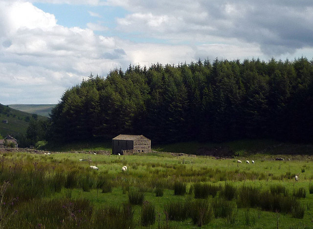
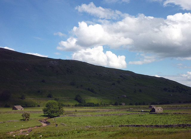
The village is characterized by its charming stone cottages, which are surrounded by lush green meadows and rolling hills. The architecture reflects the traditional Yorkshire style, with quaint thatched roofs and colorful flower gardens adorning the front yards. The streets are narrow and winding, adding to the village's charm and providing a sense of seclusion.
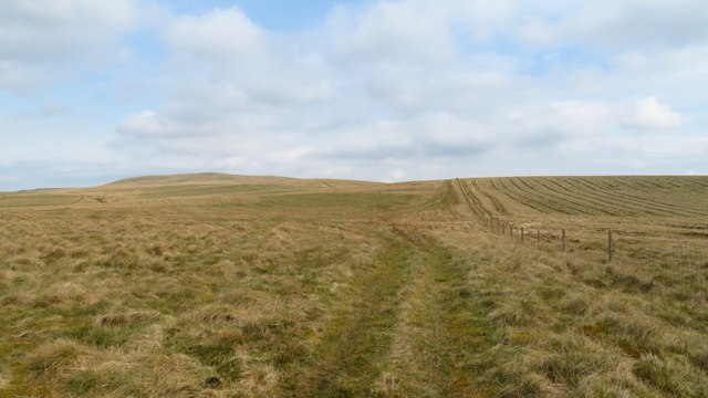
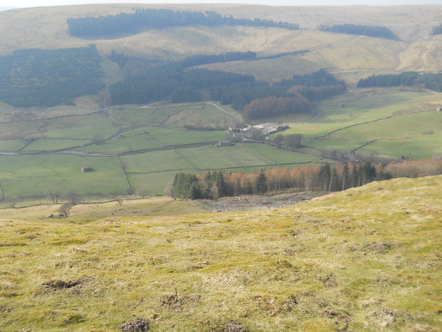
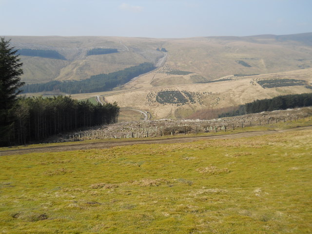
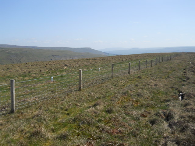
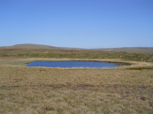
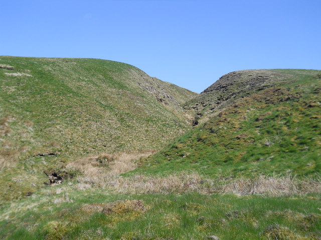
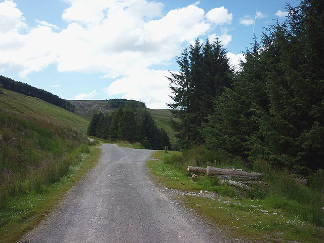
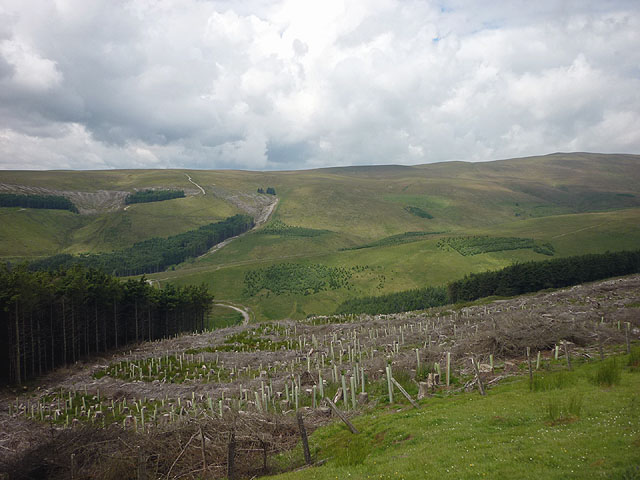
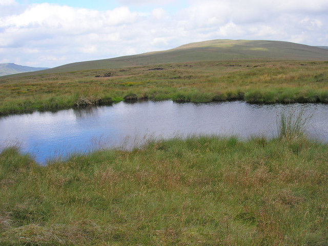
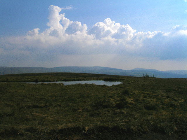
The natural beauty of Ackrey Gill Green is a major draw for outdoor enthusiasts. The Yorkshire Downs offer ample opportunities for hiking, with numerous trails that lead to stunning viewpoints and hidden valleys. The Moorland, on the other hand, provides a diverse habitat for various wildlife species, making it a popular spot for birdwatching and nature photography.
Despite its small size, Ackrey Gill Green boasts a close-knit community that takes pride in its heritage. The village is home to a quaint local pub, where residents and visitors can enjoy a pint of traditional Yorkshire ale and engage in friendly conversation. Additionally, the village hosts an annual summer fair, which brings together locals and tourists for a day of festivities, including live music, food stalls, and traditional games.
Overall, Ackrey Gill Green offers a tranquil escape from the hustle and bustle of city life. With its stunning natural surroundings, charming architecture, and welcoming community, it is a hidden gem in the Yorkshire region that truly captures the essence of rural England.
If you have any feedback on the listing, please let us know in the comments section below.
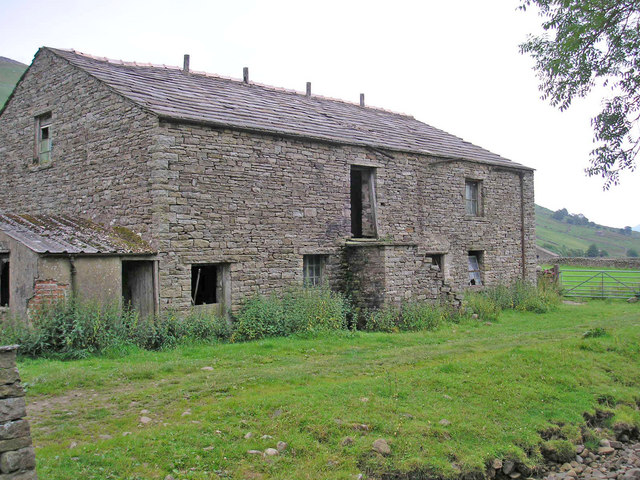
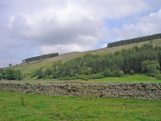
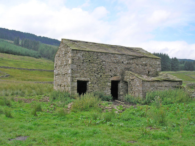
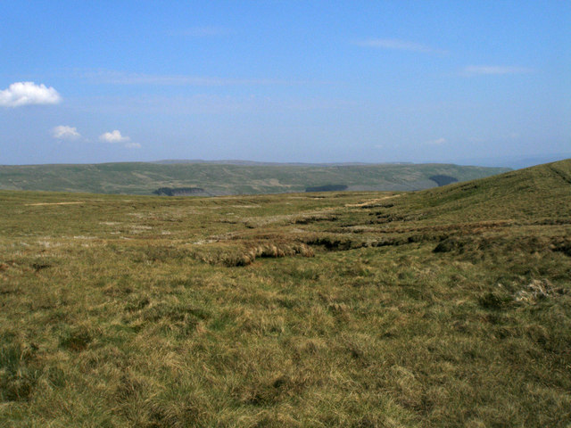
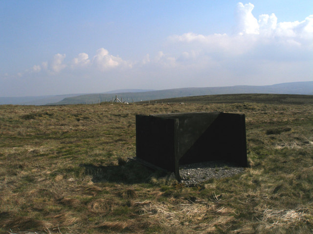
Ackrey Gill Green Images
Images are sourced within 2km of 54.351486/-2.2738669 or Grid Reference SD8295. Thanks to Geograph Open Source API. All images are credited.
Ackrey Gill Green is located at Grid Ref: SD8295 (Lat: 54.351486, Lng: -2.2738669)
Division: North Riding
Administrative County: North Yorkshire
District: Richmondshire
Police Authority: North Yorkshire
What 3 Words
///retain.showrooms.ladder. Near Kirkby Stephen, Cumbria
Nearby Locations
Related Wikis

Cotterdale
Cotterdale is a small side dale and hamlet on the north side of Wensleydale in North Yorkshire, England. The dale lies to the west of Great Shunner Fell...

Lunds, North Yorkshire
Lunds is a hamlet in North Yorkshire, England, near to the watershed of the Eden and Ure rivers. It is on the border between Cumbria and North Yorkshire...

Great Shunner Fell
Great Shunner Fell is the third highest mountain in the Yorkshire Dales, North Yorkshire, England, and the highest point in Wensleydale; at 716 metres...
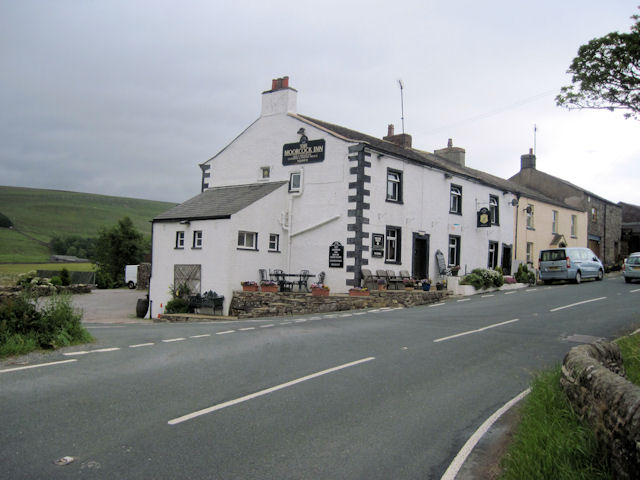
Moorcock Inn
The Moorcock Inn is a public house at the watershed of the Eden, Clough and Ure rivers, in Upper Wensleydale, North Yorkshire, England. It is adjacent...
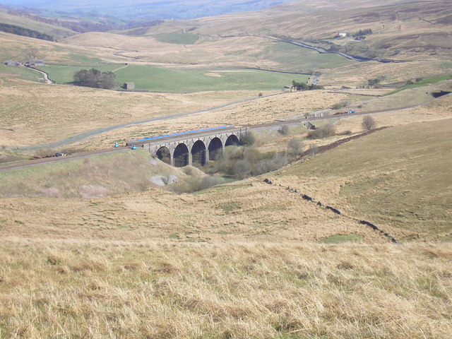
Hawes Junction rail crash
The Hawes Junction rail crash occurred at 5.49 am on 24 December 1910, just north of Lunds Viaduct between Hawes Junction (now known as Garsdale station...

Dandry Mire Viaduct
Dandry Mire Viaduct, (or Dandrymire Viaduct), is a railway viaduct on the Settle & Carlisle line in Cumbria, England. It is just north of Garsdale station...

Hugh Seat
Hugh Seat is a mountain, or more accurately a fell, in Mallerstang on the eastern edge of Cumbria, England. It lies on the border between Cumbria and North...

Vale of Eden
The Vale of Eden is formed by the course of the River Eden, one of the major rivers of Northwest England. It is however of much greater extent than the...
Nearby Amenities
Located within 500m of 54.351486,-2.2738669Have you been to Ackrey Gill Green?
Leave your review of Ackrey Gill Green below (or comments, questions and feedback).