Swinesett Tarn
Lake, Pool, Pond, Freshwater Marsh in Yorkshire Richmondshire
England
Swinesett Tarn
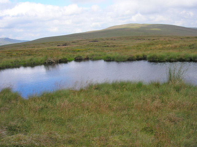
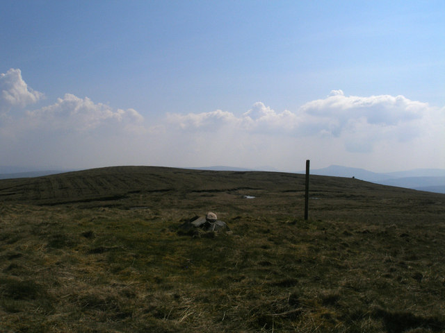
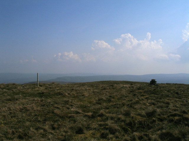
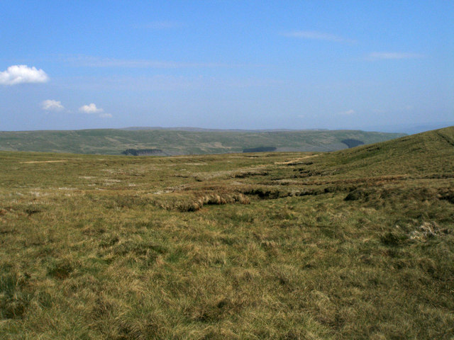
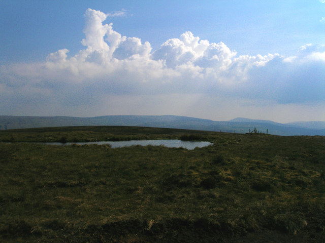
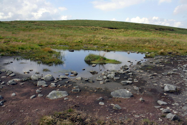
Swinesett Tarn is a picturesque freshwater lake located in the county of Yorkshire, England. Nestled amidst the rolling hills of the Yorkshire Dales, this natural gem offers a tranquil and idyllic setting for visitors seeking a peaceful retreat.
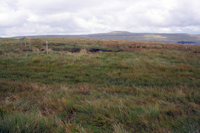
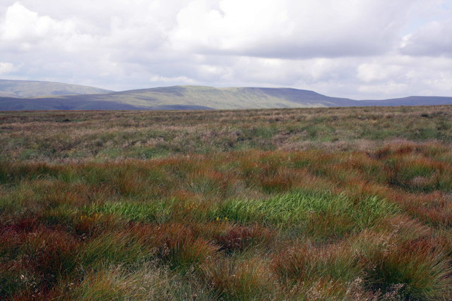
Covering an area of approximately 25 acres, Swinesett Tarn is known for its crystal-clear waters, which are fed by natural springs and rainwater runoff. Surrounded by lush vegetation and reed beds, the tarn provides a thriving habitat for a diverse range of flora and fauna.
The tarn is a haven for birdwatchers and nature enthusiasts, as it attracts a variety of bird species throughout the year. Visitors can often spot common waterfowl such as mallards and coots, as well as more elusive species like herons and kingfishers. The surrounding woodlands are also home to numerous songbirds, adding a melodious soundtrack to the serene atmosphere.
The tarn is a popular spot for recreational activities such as fishing and boating, with anglers drawn to its abundant stocks of freshwater fish, including perch and pike. Non-motorized boats are allowed on the lake, providing visitors with the opportunity to peacefully explore the tranquil waters.
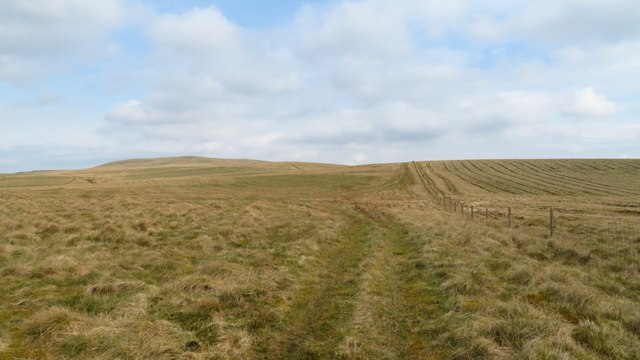
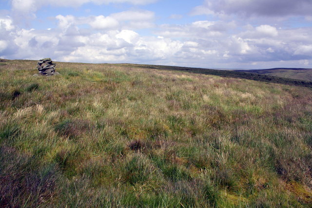
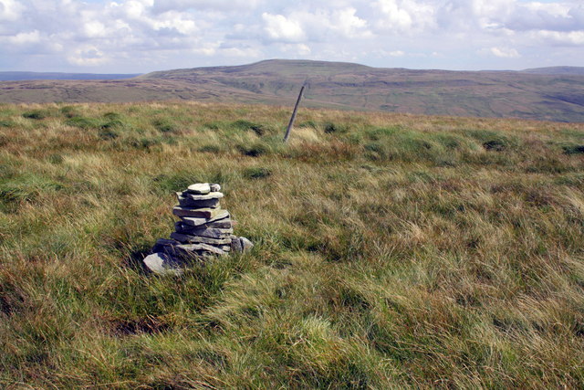
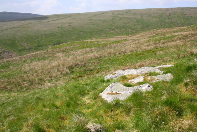
For those who prefer to enjoy the scenery from land, there are several walking trails that wind their way around the tarn, offering breathtaking vistas of the surrounding countryside. The area is also dotted with picnic spots, allowing visitors to relax and take in the natural beauty of Swinesett Tarn.
Overall, Swinesett Tarn is a hidden gem in Yorkshire, offering a peaceful escape from the hustle and bustle of everyday life. Whether it's birdwatching, fishing, or simply immersing oneself in nature, this freshwater marsh is a must-visit destination for nature lovers and outdoor enthusiasts.
If you have any feedback on the listing, please let us know in the comments section below.
Swinesett Tarn Images
Images are sourced within 2km of 54.359144/-2.2736409 or Grid Reference SD8295. Thanks to Geograph Open Source API. All images are credited.


Swinesett Tarn is located at Grid Ref: SD8295 (Lat: 54.359144, Lng: -2.2736409)
Division: North Riding
Administrative County: North Yorkshire
District: Richmondshire
Police Authority: North Yorkshire
What 3 Words
///taster.rags.able. Near Kirkby Stephen, Cumbria
Nearby Locations
Related Wikis

Cotterdale
Cotterdale is a small side dale and hamlet on the north side of Wensleydale in North Yorkshire, England. The dale lies to the west of Great Shunner Fell...

Great Shunner Fell
Great Shunner Fell is the third-highest mountain in the Yorkshire Dales, North Yorkshire, England, and the highest point in Wensleydale; at 716 metres...

Lunds, North Yorkshire
Lunds is a hamlet in North Yorkshire, England, near to the watershed of the Eden and Ure rivers. It is on the border between Cumbria and North Yorkshire...

Hugh Seat
Hugh Seat is a mountain, or more accurately a fell, in Mallerstang on the eastern edge of Cumbria, England. It lies on the border between Cumbria and North...

Vale of Eden
The Vale of Eden is formed by the course of the River Eden, one of the major rivers of Northwest England. It is however of much greater extent than the...
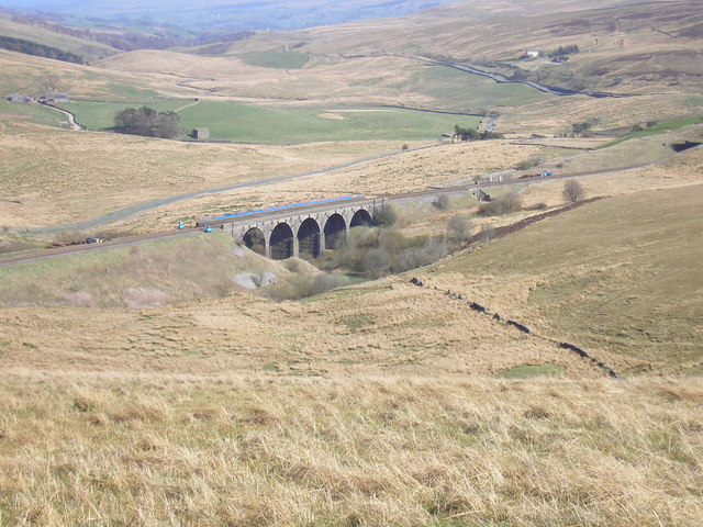
Hawes Junction rail crash
The Hawes Junction rail crash occurred at 5.49 am on 24 December 1910, just north of Lunds Viaduct between Hawes Junction (now known as Garsdale station...
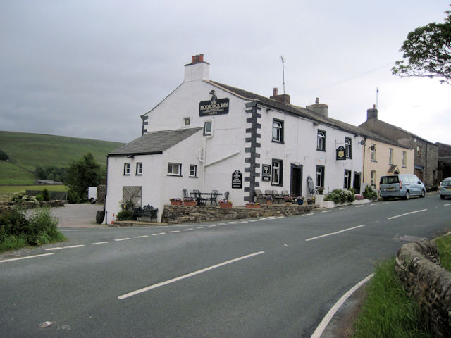
Moorcock Inn
The Moorcock Inn is a public house at the watershed of the Eden, Clough and Ure rivers, in Upper Wensleydale, North Yorkshire, England. It is adjacent...

Eden Sike Cave
Eden Sike Cave is a small cave in Mallerstang in the Eden valley in Cumbria, England 400 metres (440 yd) north of Hell Gill. The entrance is 391 metres...
Nearby Amenities
Located within 500m of 54.359144,-2.2736409Have you been to Swinesett Tarn?
Leave your review of Swinesett Tarn below (or comments, questions and feedback).