Burnt Hill
Hill, Mountain in Lancashire Burnley
England
Burnt Hill
Burnt Hill is a prominent hill located in the county of Lancashire, England. It is situated near the town of Chorley, approximately 30 miles northwest of Manchester. With an elevation of 1,191 feet (363 meters), Burnt Hill is often considered one of the highest hills in the area, offering stunning panoramic views of the surrounding countryside.
The hill gets its name from the distinctive burnt appearance of its upper slopes, which is a result of controlled heather burning carried out by landowners to encourage new growth. This practice has been a part of the local land management traditions for centuries.
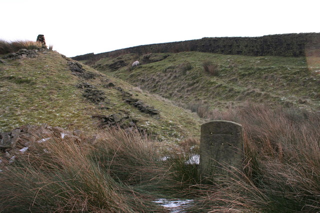
Burnt Hill is primarily composed of millstone grit, a coarse-grained sandstone that is common in the region. The hill is covered in a mix of heather, grasses, and scattered trees, providing habitat for a variety of wildlife, including birds, small mammals, and insects.
The hill is a popular destination for outdoor enthusiasts, attracting hikers, walkers, and nature lovers throughout the year. There are several well-marked trails and footpaths that lead to the summit, offering both challenging and leisurely options for visitors of all abilities.
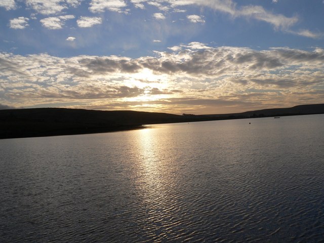
From the summit of Burnt Hill, visitors can enjoy breathtaking views of the Lancashire countryside, with rolling hills, farmland, and distant towns visible in the distance. On clear days, it is even possible to see as far as the Welsh mountains to the west and the Pennines to the east.
Overall, Burnt Hill is a picturesque and accessible natural landmark in Lancashire, offering a wonderful opportunity to connect with nature and enjoy the beauty of the surrounding landscape.
If you have any feedback on the listing, please let us know in the comments section below.
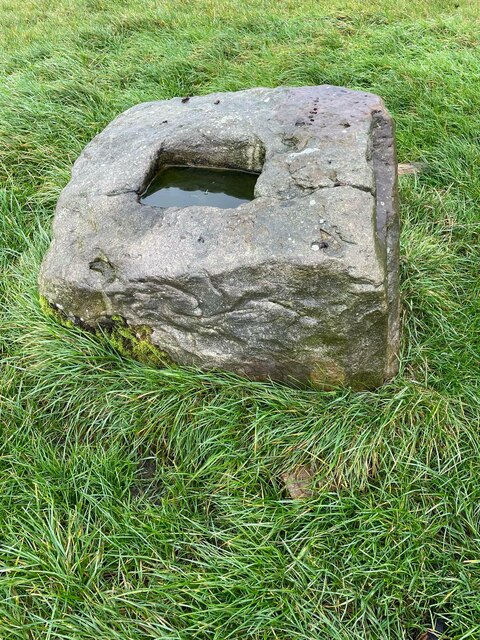
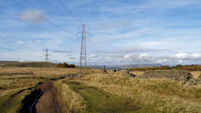
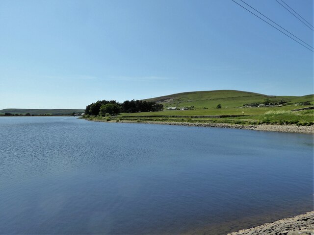
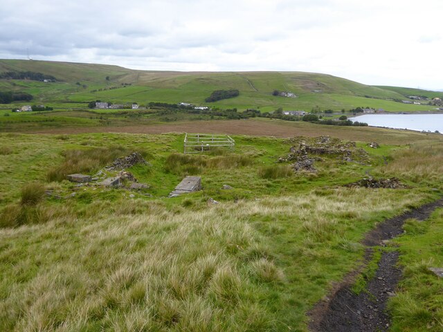
Burnt Hill Images
Images are sourced within 2km of 53.756623/-2.2662779 or Grid Reference SD8228. Thanks to Geograph Open Source API. All images are credited.


Burnt Hill is located at Grid Ref: SD8228 (Lat: 53.756623, Lng: -2.2662779)
Administrative County: Lancashire
District: Burnley
Police Authority: Lancashire
What 3 Words
///fonts.grain.plant. Near Hameldon Hill, Lancashire
Nearby Locations
Related Wikis
Dunnockshaw
Dunnockshaw or Dunnockshaw and Clowbridge is a civil parish in the borough of Burnley, in Lancashire, England. The parish is situated between Burnley and...

Habergham Eaves
Habergham Eaves is a civil parish in the borough of Burnley, in Lancashire, England. The parish consists of a rural area south of Burnley, and suburban...
Gambleside
Gambleside is an abandoned village located in northern Rossendale close to the boundary with Burnley's Dunnockshaw parish. In the late Middle Ages Gambleside...
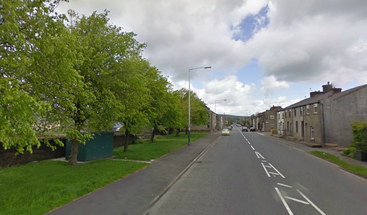
Loveclough
Loveclough is a small hamlet at the edge of the Rossendale Valley, in Lancashire, England, near Crawshawbooth and Rawtenstall, 20 miles north of Manchester...

Singing Ringing Tree (sculpture)
The Singing Ringing Tree is a wind powered sound sculpture resembling a tree set in the landscape of the Pennine hill range overlooking Burnley, in Lancashire...
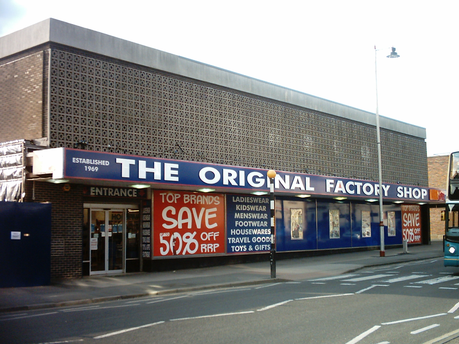
The Original Factory Shop
The Original Factory Shop is a discount department store chain that was established in 1969. It currently operates almost two hundred stores across the...

Hameldon Community College
Hameldon Community College was a mixed 11–16 comprehensive school located in Burnley, Lancashire, England. == History == The school opened in September...

Scott Park
Scott Park is a public park in Burnley, Lancashire. It covers 7.9 hectares (20 acres) and was opened in 1895. Located south of the town centre, attractions...
Nearby Amenities
Located within 500m of 53.756623,-2.2662779Have you been to Burnt Hill?
Leave your review of Burnt Hill below (or comments, questions and feedback).