Clowbridge Reservoir

Lake, Pool, Pond, Freshwater Marsh in Lancashire Burnley

England

Clowbridge Reservoir

Reservoir Catchwater For Clough Bottom Reservoir
Reservoir Catchwater Credit: Kevin Waterhouse

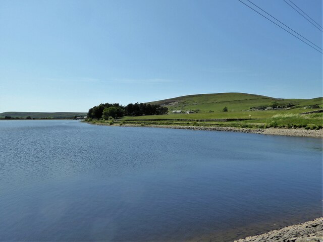
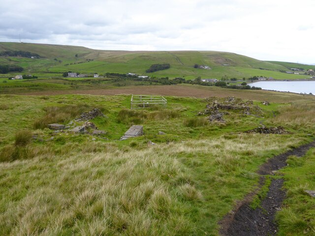
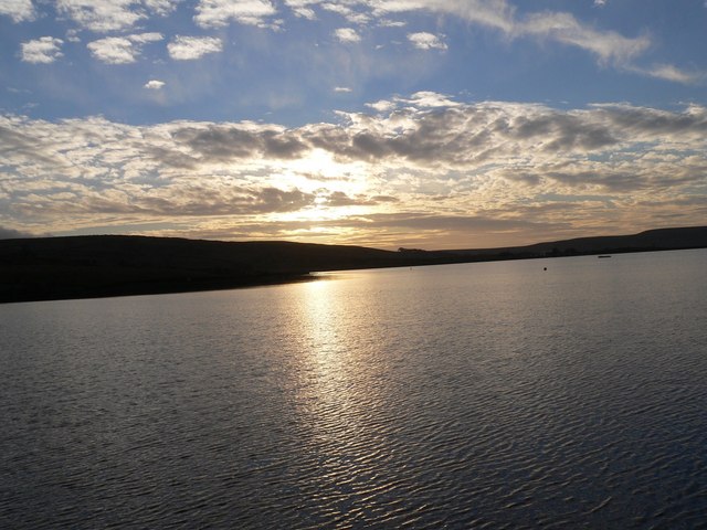
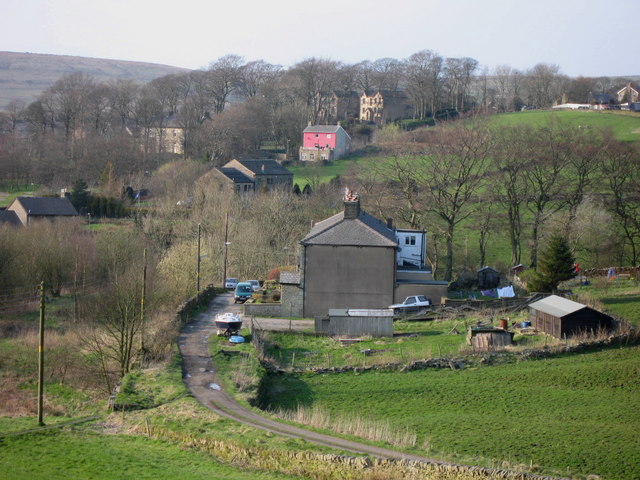
Clowbridge Reservoir, located in the county of Lancashire, England, is a man-made freshwater lake that serves multiple purposes for the local community. Covering an area of approximately 20 hectares, it is surrounded by picturesque woodland, making it a popular destination for nature enthusiasts and walkers alike.

Originally constructed in the late 19th century to supply water for the nearby Burnley area, the reservoir has since become a valuable recreational space. Its calm waters are home to various species of freshwater fish, attracting anglers who seek to test their skills. The lake is regularly stocked with brown trout, creating an attractive environment for fishing enthusiasts.

Clowbridge Reservoir also serves as a haven for birdlife, with numerous species making their home or stopping by during migration. Birdwatchers can expect to spot a variety of waterfowl, including ducks, geese, and swans, as well as other avian species such as herons and kingfishers.

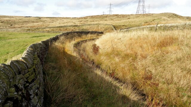
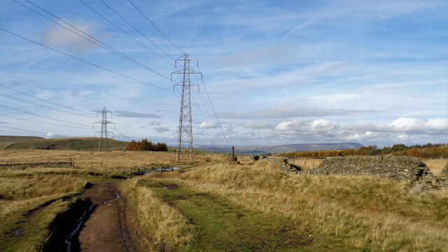
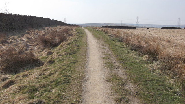
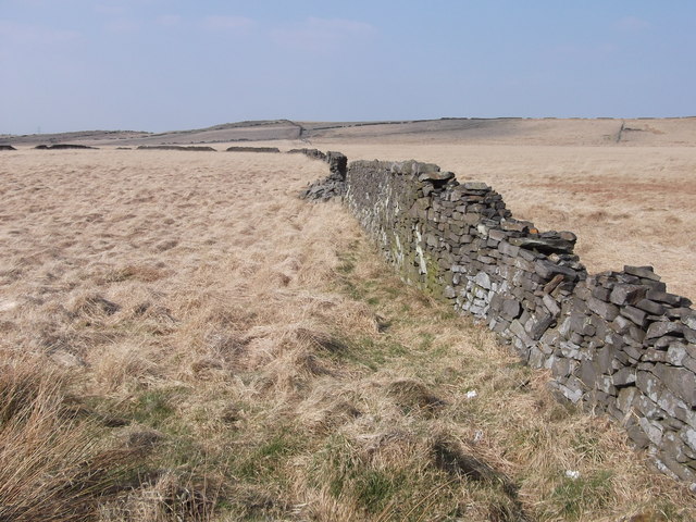
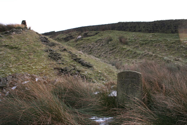
Surrounding the lake, visitors can explore the Clowbridge Reservoir Nature Trail, a well-maintained path that offers stunning views of the water and surrounding countryside. The trail provides opportunities for leisurely walks and picnics, as well as access to a nearby play area for children.

Overall, Clowbridge Reservoir offers a tranquil retreat for those seeking to connect with nature. Its diverse range of activities, from fishing to birdwatching, combined with its scenic beauty, make it a cherished spot for both locals and tourists in Lancashire.

If you have any feedback on the listing, please let us know in the comments section below.

Clowbridge Reservoir Images

Images are sourced within 2km of 53.749802/-2.2616854 or Grid Reference SD8228. Thanks to Geograph Open Source API. All images are credited.

Reservoir Catchwater For Clough Bottom Reservoir
Reservoir Catchwater
For Clough Bottom Reservoir
Approaching Swallow Shore
Approaching Compston's Cross On the Rossendale Way and the White Hill Circular Walk. The cross was erected in 1902 and may partly replace the two lost wayside crosses in this area
Approaching Compston's Cross
On the Rossendale Way and the White Hill Circular Walk. The cross was erected in 1902 and may partly replace the two lost wayside crosses in this area
Masts on Hameldon Hill View from near Compston's Cross on Rossendale Way
Masts on Hameldon Hill
View from near Compston's Cross on Rossendale Way
Woodland north of Greenhill Clough With Clowbridge Reservoir beyond on the left of the view
Woodland north of Greenhill Clough
With Clowbridge Reservoir beyond on the left of the view
Path avoiding Crown Point Road Links the car park at the Singing Ringing Tree with paths into Dunnockshaw Community Woodland and eventually Clowbridge Reservoir. Crown Point Road has no pavements.
Path avoiding Crown Point Road
Links the car park at the Singing Ringing Tree with paths into Dunnockshaw Community Woodland and eventually Clowbridge Reservoir. Crown Point Road has no pavements.
Gateway at Wholaw remains The property marked as Wholaw on old OS maps appeared to cover a large site with two gateway access points, this view of one to the north and another behind the camera
Gateway at Wholaw remains
The property marked as Wholaw on old OS maps appeared to cover a large site with two gateway access points, this view of one to the north and another behind the camera
Valley of Limy Water Crossed by a path in Dunnockshaw Community Woodland from Wholaw
Valley of Limy Water
Crossed by a path in Dunnockshaw Community Woodland from Wholaw
Clowbridge Reservoir View from the reservoir embankment causeway
Clowbridge Reservoir
View from the reservoir embankment causeway
Gambleside Mine Pumping Station Beneath the hillside with several former coal mines and close to Clowbridge Reservoir
Gambleside Mine Pumping Station
Beneath the hillside with several former coal mines and close to Clowbridge Reservoir
Clowbridge Reservoir underground chamber There appears to be a vented chamber by the side of the reservoir dam, but OS maps appear to have no information on this feature.
Clowbridge Reservoir underground chamber
There appears to be a vented chamber by the side of the reservoir dam, but OS maps appear to have no information on this feature.
Old holloway An old route to climb Stony Hill which winds around an enclosed field (behind the camera) from the valley of Limy Water (covered by Clowbridge Reservoir) before striking out in this view. This is probably one of the many routes known as Limersgate.
Old holloway
An old route to climb Stony Hill which winds around an enclosed field (behind the camera) from the valley of Limy Water (covered by Clowbridge Reservoir) before striking out in this view. This is probably one of the many routes known as Limersgate.
Gambleside Colliery remains With Clowbridge Reservoir on the right of this view
Gambleside Colliery remains
With Clowbridge Reservoir on the right of this view
Tramway remains Ahead are the remains of a tramway tunnel at the head of a shallow cutting. The tramway went through a tunnel to Gambleside Colliery. A path follows this tramway route between Gambleside Colliery and another behind the camera, which appeared to be unnamed on early OS maps but at the head of Green Fold Reservoir.
Tramway remains
Ahead are the remains of a tramway tunnel at the head of a shallow cutting. The tramway went through a tunnel to Gambleside Colliery. A path follows this tramway route between Gambleside Colliery and another behind the camera, which appeared to be unnamed on early OS maps but at the head of Green Fold Reservoir.
Path to Meadow Head Ahead is a difficult to navigate marshy reed bed, behind the camera is Oaks Mill at Dunnockshaw
Path to Meadow Head
Ahead is a difficult to navigate marshy reed bed, behind the camera is Oaks Mill at Dunnockshaw
Dunnockshaw Community Woodland, Rossendale, Lancashire Most of the tree planting is to the left of the dry stone wall
Dunnockshaw Community Woodland, Rossendale, Lancashire
Most of the tree planting is to the left of the dry stone wall
Dry Stone Walls
Dry Stone Walls
Love Clough:  'The Glory' This old pub is still going strong.  It was formerly called the 'Holt's Arms'. Easy to call in, it is right on the A682 and also on the Rossendale Way footpath. There is much of interest in the immediate area, not least, excellent walking country.
Love Clough: 'The Glory'
This old pub is still going strong. It was formerly called the 'Holt's Arms'. Easy to call in, it is right on the A682 and also on the Rossendale Way footpath. There is much of interest in the immediate area, not least, excellent walking country.
Show me another place!

Clowbridge Reservoir is located at Grid Ref: SD8228 (Lat: 53.749802, Lng: -2.2616854)

Administrative County: Lancashire

District: Burnley

Police Authority: Lancashire

What 3 Words

///revolting.upstairs.rural. Near Hameldon Hill, Lancashire

Related Wikis

Gambleside

Gambleside is an abandoned village located in northern Rossendale close to the boundary with Burnley's Dunnockshaw parish. In the late Middle Ages Gambleside...

Dunnockshaw

Dunnockshaw or Dunnockshaw and Clowbridge is a civil parish in the borough of Burnley, in Lancashire, England. The parish is situated between Burnley and...

Habergham Eaves

Habergham Eaves is a civil parish in the borough of Burnley, in Lancashire, England. The parish consists of a rural area south of Burnley, and suburban...

Loveclough

Loveclough is a small hamlet at the edge of the Rossendale Valley, in Lancashire, England, near Crawshawbooth and Rawtenstall, 20 miles north of Manchester...

Singing Ringing Tree (sculpture)

The Singing Ringing Tree is a wind powered sound sculpture resembling a tree set in the landscape of the Pennine hill range overlooking Burnley, in Lancashire...

Water, Lancashire

Water is a hamlet in the borough of Rossendale, in Lancashire, England. Located north of the village of Lumb. It is mostly made of a few homes, farms,...

Goodshaw

Goodshaw is a hamlet situated on the edge of the Pennine hills in England, located just north of the market town of Rawtenstall in Lancashire. To the south...

Crawshawbooth

Crawshawbooth is a small village located on the edge of the Pennines in England, just north of the market town of Rawtenstall, Lancashire, and south of...
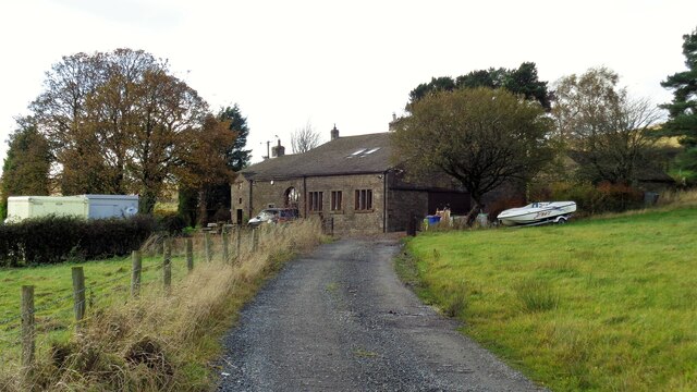
Nearby Amenities

Located within 500m of 53.749802,-2.2616854
Created By: YahooApplet 1.0
Lat/Long: 53.7519992/-2.2639492
Created By: YahooApplet 1.0
Lat/Long: 53.7510848/-2.265183
Created By: YahooApplet 1.0
Lat/Long: 53.7505265/-2.2659769
Created By: YahooApplet 1.0
Lat/Long: 53.7501712/-2.2667494
Created By: YahooApplet 1.0
Lat/Long: 53.7498477/-2.2674709
Clow Bridge
Place: hamlet
Source: npe
Lat/Long: 53.7501358/-2.2684401
Design: barrel
Power: tower
Lat/Long: 53.7506452/-2.2556124
Design: barrel
Power: tower
Lat/Long: 53.7532432/-2.2585813
Barrier: kissing_gate
Lat/Long: 53.7497288/-2.2573573
Barrier: swing_gate
Lat/Long: 53.74982/-2.2564514
Barrier: kissing_gate
Lat/Long: 53.7521301/-2.2567259
Barrier: swing_gate
Lat/Long: 53.7489295/-2.2560767
Entrance: yes
Lat/Long: 53.7471177/-2.2674455
Barrier: swing_gate
Lat/Long: 53.750399/-2.2560477
Entrance: yes
Lat/Long: 53.7511131/-2.256117
Bus Stop
Reservoir
Naptan AtcoCode: 2500IMG2887
Naptan NaptanCode: langjdtm
Public Transport: platform
Lat/Long: 53.7499721/-2.2671526
Bus Stop
Reservoir
Naptan AtcoCode: 2500LAA15841
Naptan NaptanCode: lanjtjga
Public Transport: platform
Lat/Long: 53.750001/-2.2673075
Bus Stop
Cotton Row
Naptan AtcoCode: 2500LAA15839
Naptan NaptanCode: lanjtjdt
Public Transport: platform
Lat/Long: 53.7526219/-2.2630555
Bus Stop
Cotton Row
Bus: yes
Naptan AtcoCode: 2500LAA15840
Naptan NaptanCode: lanjtjdw
Public Transport: platform
Shelter: yes
Lat/Long: 53.7524013/-2.2631844
Barrier: stile
Stile: stepover
Lat/Long: 53.7523785/-2.2631926
Leisure: picnic_table
Material: wood
Lat/Long: 53.7522418/-2.2629139
Bench
Lat/Long: 53.7507877/-2.2544245
The data included in this document is from www.openstreetmap.org. The data is made available under ODbL.

Have you been to Clowbridge Reservoir?

Leave your review of Clowbridge Reservoir below (or comments, questions and feedback).