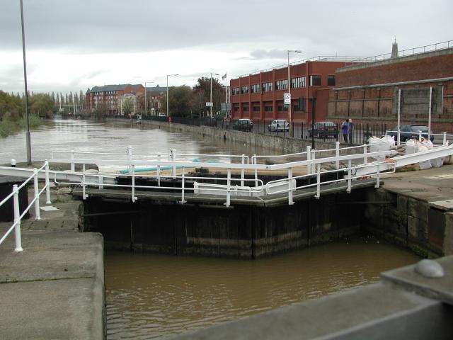
Victoria Dock
Lake, Pool, Pond, Freshwater Marsh in Gloucestershire Gloucester
England
Victoria Dock

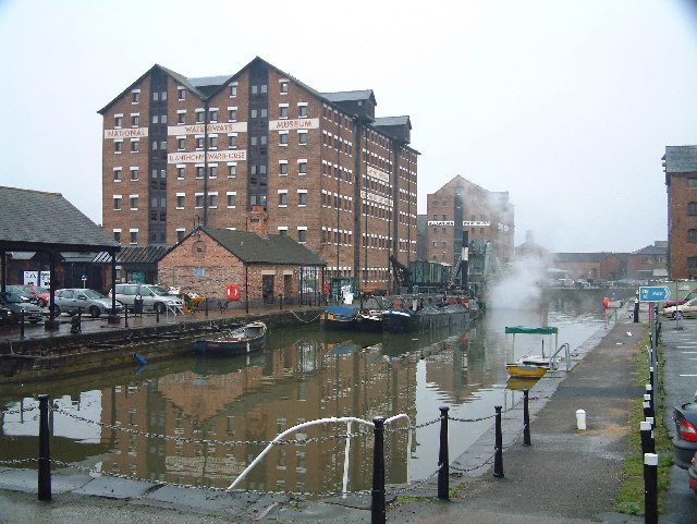
Victoria Dock is a man-made freshwater body located in the county of Gloucestershire, England. Spanning an area of approximately 8 hectares, it serves multiple purposes including a lake, pool, pond, and a freshwater marsh. The dock was constructed in the 19th century as a part of the Gloucester and Berkeley Canal system, primarily to facilitate the transportation of goods between Gloucester and the River Severn.
The water in Victoria Dock is sourced from various nearby streams and rivers, ensuring a constant supply of fresh water. It is characterized by its calm and serene nature, making it an ideal spot for recreational activities such as boating, fishing, and wildlife observation.
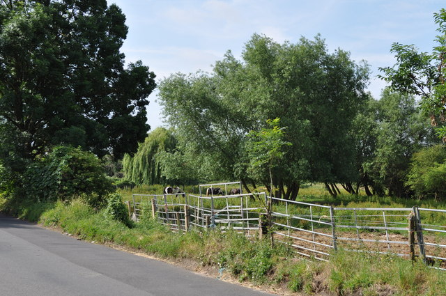
Surrounded by lush greenery and picturesque landscapes, the dock is home to a diverse range of plant and animal species. The freshwater marsh provides a habitat for various aquatic plants such as reeds, water lilies, and rushes, attracting a diverse array of bird species including mallards, swans, coots, and herons. Additionally, the lake is a popular spot for anglers, with fish species such as carp, pike, and roach inhabiting its waters.
The dock is well-equipped with amenities for visitors, including picnic areas, walking trails, and designated fishing spots. It also hosts various events throughout the year, such as fishing competitions and nature walks, to engage the local community and promote environmental awareness.
In conclusion, Victoria Dock in Gloucestershire offers a tranquil and scenic environment, providing ample opportunities for outdoor recreation and wildlife exploration. Its diverse ecosystem and well-maintained facilities make it a popular destination for both locals and tourists alike.
If you have any feedback on the listing, please let us know in the comments section below.
Victoria Dock Images
Images are sourced within 2km of 51.862699/-2.2508305 or Grid Reference SO8218. Thanks to Geograph Open Source API. All images are credited.


Victoria Dock is located at Grid Ref: SO8218 (Lat: 51.862699, Lng: -2.2508305)
Administrative County: Gloucestershire
District: Gloucester
Police Authority: Gloucestershire
What 3 Words
///town.every.humble. Near Gloucester, Gloucestershire
Nearby Locations
Related Wikis
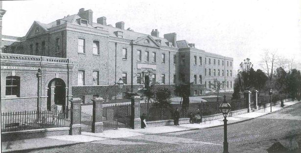
Gloucestershire Royal Infirmary
The Gloucestershire Royal Infirmary was a hospital in Southgate Street, Gloucester. == History == The hospital was originally established at a public house...

Gloucester Docks
Gloucester Docks is a historic area of the city of Gloucester. The docks are located at the northern junction of the River Severn with the Gloucester and...

Southgate Street
Southgate Street is one of the ancient streets in the City of Gloucester, so named because its southern end was originally the location of the south gate...

St Owen's Church, Gloucester
St Owen's Church was a church and parish within the City of Gloucester in Gloucestershire, England. The parish church of St Owen's was situated on Southgate...

Gloucester Castle
Gloucester Castle was a Norman-era royal castle situated in the city of Gloucester in Gloucestershire, England. It was demolished in 1787 and replaced...
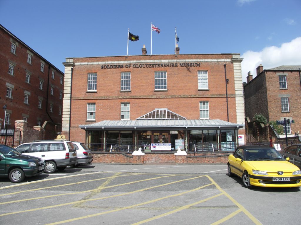
Soldiers of Gloucestershire Museum
The Soldiers of Gloucestershire Museum is located within the historic docks in the city of Gloucester. The museum tells the story of two regiments of the...

The Tall Ship, Gloucester
The Tall Ship is a Grade II listed building at 134 Southgate Street, Gloucester. It is located at the entrance to Gloucester Docks. It became a listed...

Commercial Road, Gloucester
Commercial Road is located in the City of Gloucester, England. It runs from The Quay and Severn Road in the north to Kimbrose Way and Southgate Street...
Nearby Amenities
Located within 500m of 51.862699,-2.2508305Have you been to Victoria Dock?
Leave your review of Victoria Dock below (or comments, questions and feedback).