Abbot's Castle Hill

Hill, Mountain in Staffordshire South Staffordshire

England

Abbot's Castle Hill

A well sited Seat, near Galatea Farm, Shropshire The public footpath leads south to Claverley (1.5 km) through fields. The panoramic view from the seat westwards to Claverley Brook and Hopstone is very "soothing".
A well sited Seat, near Galatea Farm, Shropshire Credit: Roger Kidd

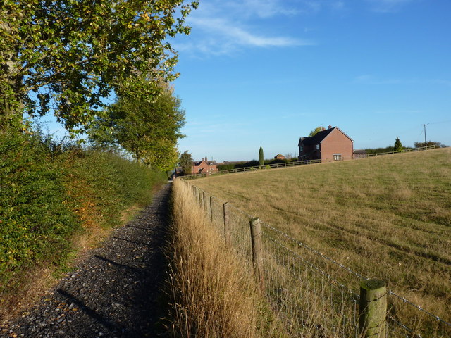
Abbot's Castle Hill is a prominent natural landmark located in Staffordshire, England. Sitting at an elevation of approximately 235 meters (770 feet), it is categorized as a hill rather than a mountain due to its height relative to surrounding terrain. The hill is situated within the Cannock Chase Area of Outstanding Natural Beauty, offering breathtaking views of the surrounding countryside.

This historical site holds great significance as it is believed to have been the location of a medieval castle, which was built by the Abbots of Burton Abbey in the 12th century. The castle was strategically positioned to oversee the nearby River Trent and control trade routes in the area. Unfortunately, only remnants of the castle's foundations and earthworks remain, making it a popular destination for history enthusiasts and archaeologists.

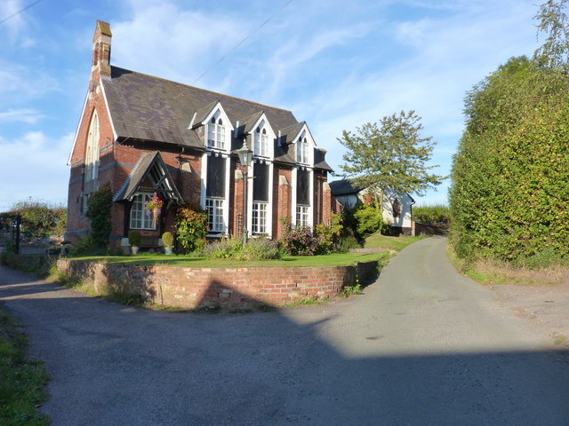
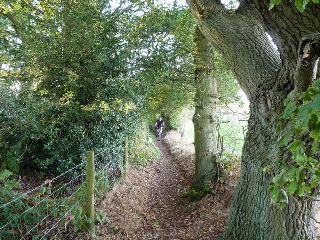
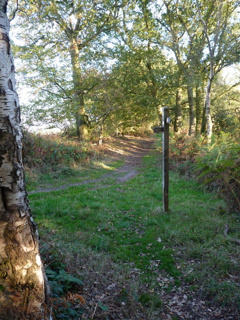
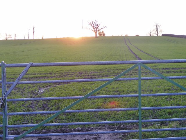
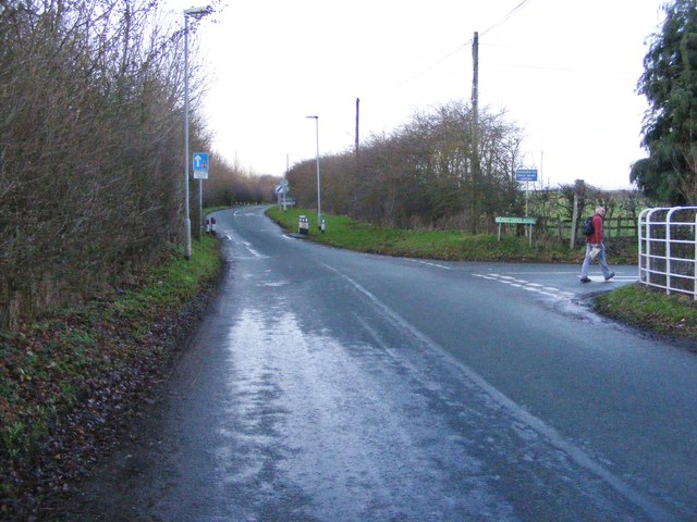
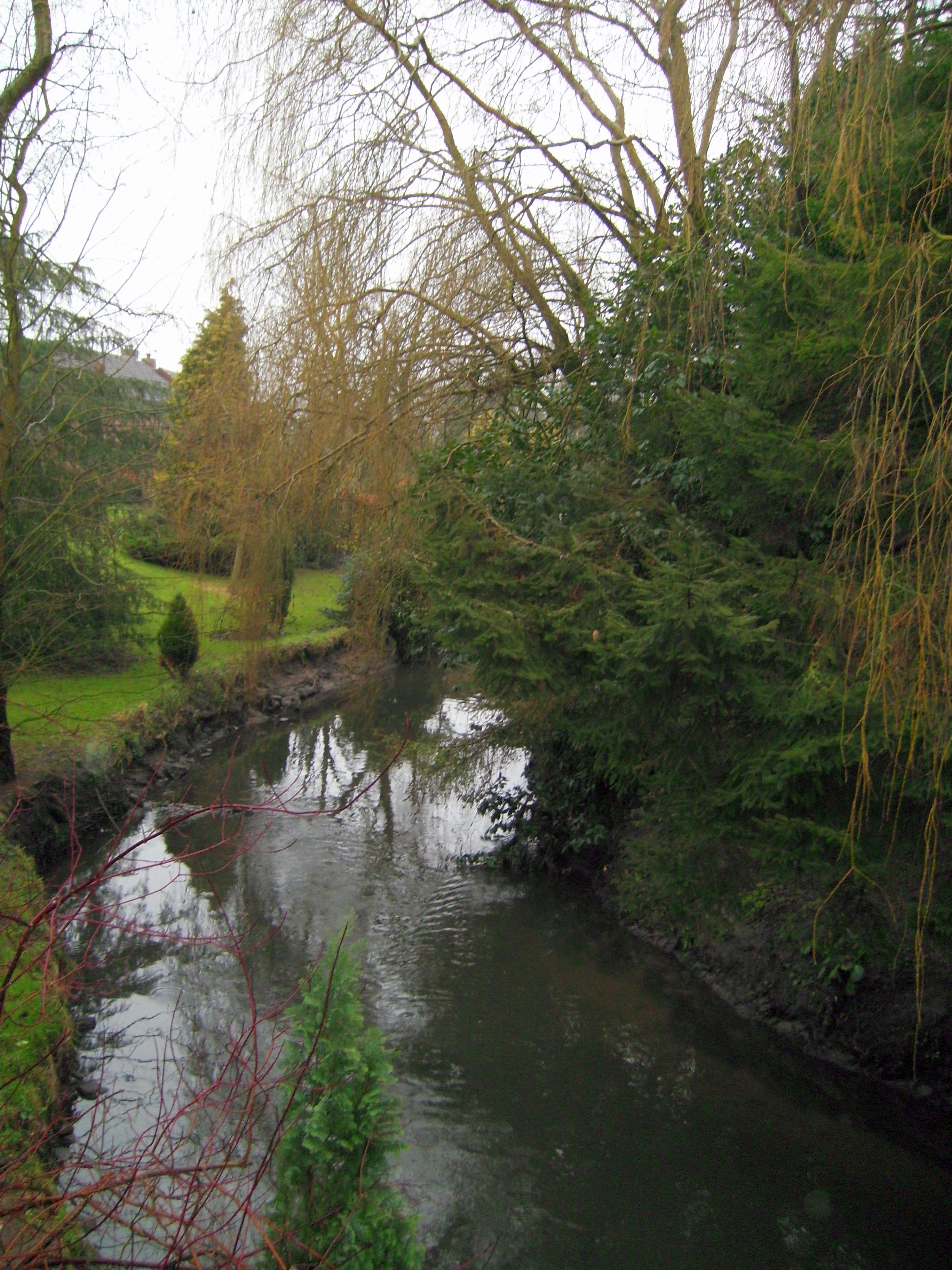
Visitors to Abbot's Castle Hill can enjoy a variety of outdoor activities, including hiking and nature walks. The hill is covered in lush greenery, with a mix of deciduous and coniferous trees, creating a picturesque landscape. The surrounding area is home to diverse wildlife, making it a haven for nature lovers and birdwatchers.

With its rich history and stunning natural beauty, Abbot's Castle Hill attracts both locals and tourists alike. Whether one is interested in exploring the castle ruins, immersing themselves in nature, or simply taking in the panoramic views, a visit to Abbot's Castle Hill promises a memorable experience for all.

If you have any feedback on the listing, please let us know in the comments section below.

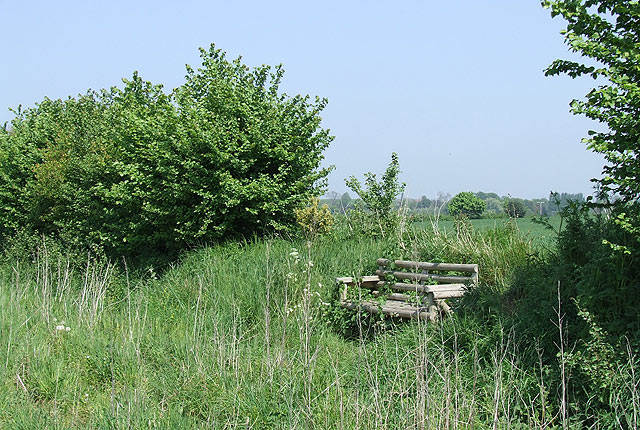
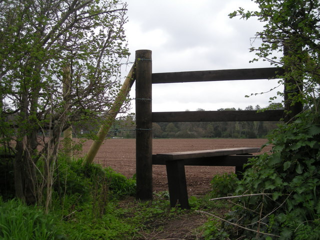
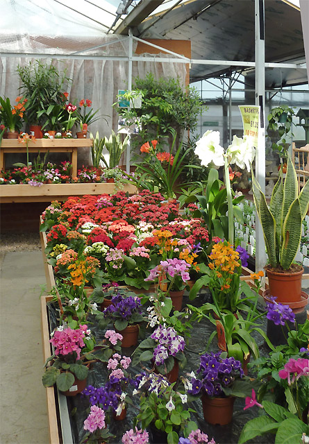
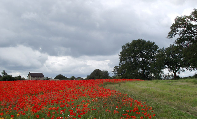
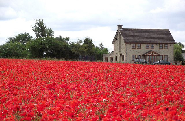
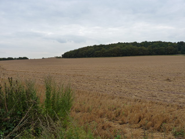
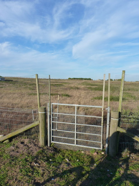
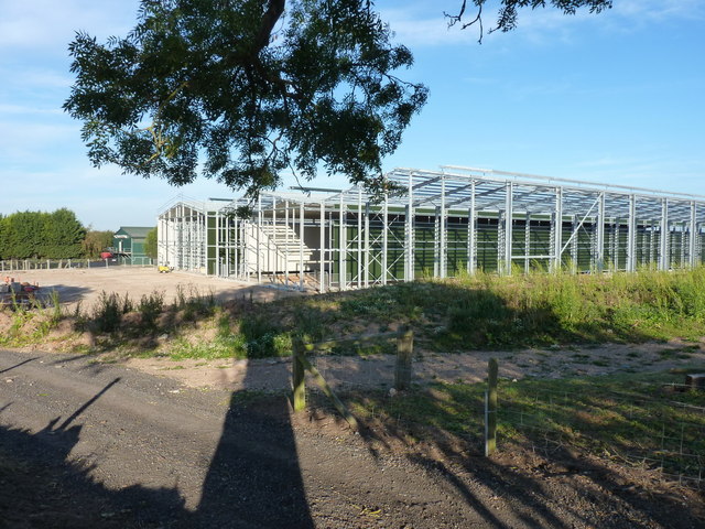
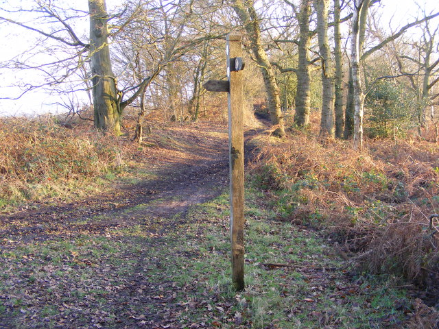
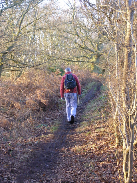
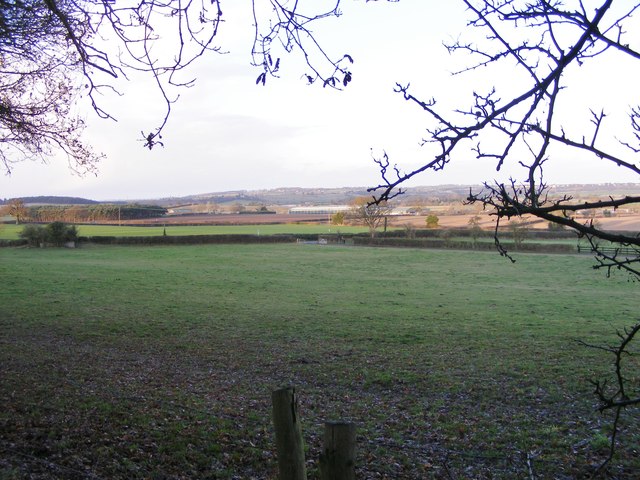
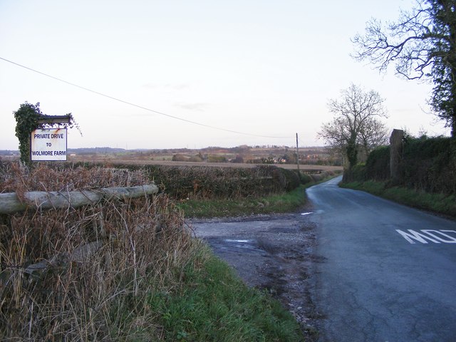
Abbot's Castle Hill Images

Images are sourced within 2km of 52.551553/-2.2746833 or Grid Reference SO8194. Thanks to Geograph Open Source API. All images are credited.

A well sited Seat, near Galatea Farm, Shropshire The public footpath leads south to Claverley (1.5 km) through fields. The panoramic view from the seat westwards to Claverley Brook and Hopstone is very "soothing".
A well sited Seat, near Galatea Farm, Shropshire
The public footpath leads south to Claverley (1.5 km) through fields. The panoramic view from the seat westwards to Claverley Brook and Hopstone is very "soothing".
This path cuts a corner
In Lealans Garden Centre near Shipley, Shropshire This is a family owned independent garden centre and nursery, well worth a visit. There are two other garden centres nearby on the A454, but if what you really want is plants and garden equipment rather than posh department store type general "stuff" and expensive peripherals, check out the prices, and friendly service here.
In Lealans Garden Centre near Shipley, Shropshire
This is a family owned independent garden centre and nursery, well worth a visit. There are two other garden centres nearby on the A454, but if what you really want is plants and garden equipment rather than posh department store type general "stuff" and expensive peripherals, check out the prices, and friendly service here.
Poppy field near Seisdon, Staffordshire This is by the A454 Wolverhampton to Bridgnorth road opposite Lealans Garden centre. The view was so eye-catching that motorists were pulling onto the grass verge in order to stare at the display. This image is not the best of it. Take a look at <a href="https://www.geograph.org.uk/photo/2476326">SO8396 : Poppy field near Seisdon, Staffordshire</a>

<a href="https://www.geograph.org.uk/photo/2476374">SO8396 : Wild flowers near Seisdon, Staffordshire</a>
<a href="https://www.geograph.org.uk/photo/2476378">SO8396 : Poppies near Seisdon, Staffordshire</a>
Poppy field near Seisdon, Staffordshire
This is by the A454 Wolverhampton to Bridgnorth road opposite Lealans Garden centre. The view was so eye-catching that motorists were pulling onto the grass verge in order to stare at the display. This image is not the best of it. Take a look at SO8396 : Poppy field near Seisdon, Staffordshire SO8396 : Wild flowers near Seisdon, Staffordshire SO8396 : Poppies near Seisdon, Staffordshire
Poppyfield and farmhouse near Seisdon, Staffordshire This is Birches Farm by the A454 Wolverhampton to Bridgnorth road opposite Lealans Garden centre. The view was so eye-catching that motorists were pulling onto the grass verge in order to stare at the display.

<a href="https://www.geograph.org.uk/photo/2476378">SO8396 : Poppies near Seisdon, Staffordshire</a>
<a href="https://www.geograph.org.uk/photo/2476317">SO8396 : Poppy field near Seisdon, Staffordshire</a>
Poppyfield and farmhouse near Seisdon, Staffordshire
This is Birches Farm by the A454 Wolverhampton to Bridgnorth road opposite Lealans Garden centre. The view was so eye-catching that motorists were pulling onto the grass verge in order to stare at the display. SO8396 : Poppies near Seisdon, Staffordshire SO8396 : Poppy field near Seisdon, Staffordshire
Cropped field near Cannebuff This would be the same field (and the same crop, and some of the same weeds...) as <a href="https://www.geograph.org.uk/photo/2474771">SO8196 : Cereals waving in the breeze</a>
Cropped field near Cannebuff
This would be the same field (and the same crop, and some of the same weeds...) as SO8196 : Cereals waving in the breeze
Gate and bridleway at Foxlands Across fields SW of Foxlands Farm, Seisdon
Gate and bridleway at Foxlands
Across fields SW of Foxlands Farm, Seisdon
Industrial farming? Enormous industrial-scale buildings being constructed on farmland west of Seisdon.
Industrial farming?
Enormous industrial-scale buildings being constructed on farmland west of Seisdon.
Wolmore Farm, Seisdon Buildings at Wolmore Farm, from the bridleway to Hillend.
Wolmore Farm, Seisdon
Buildings at Wolmore Farm, from the bridleway to Hillend.
Chapel conversion at Hillend, Ludstone Originally a small chapel, and shown on late 19th century maps as 'Congl Chapel' (Congregational). There was also a Sunday School on the other side of the road at that time. The building is now converted to residential use.
Chapel conversion at Hillend, Ludstone
Originally a small chapel, and shown on late 19th century maps as 'Congl Chapel' (Congregational). There was also a Sunday School on the other side of the road at that time. The building is now converted to residential use.
Riding on Abbot's Castle Hill Strictly speaking, it's a footpath, but since it appears to follow the line of a Roman Road, we reckoned it's been unfairly downgraded. That makes it fair game for a bit of trail poaching, as it runs along the ridge to the west of open farmland.
Riding on Abbot's Castle Hill
Strictly speaking, it's a footpath, but since it appears to follow the line of a Roman Road, we reckoned it's been unfairly downgraded. That makes it fair game for a bit of trail poaching, as it runs along the ridge to the west of open farmland.
Track junction on Abbot's Castle Hill A junction of bridleway and permissive route on the crest of the hill.
Track junction on Abbot's Castle Hill
A junction of bridleway and permissive route on the crest of the hill.
Way Signpost The new year view on the Staffordshire Way.
Way Signpost
The new year view on the Staffordshire Way.
Abbots Castle Hill Walk The view along the Staffordshire Way.
Abbots Castle Hill Walk
The view along the Staffordshire Way.
View North The view from the Staffordshire Way on Abbots Castle Hill.
View North
The view from the Staffordshire Way on Abbots Castle Hill.
Wolmore Lane Junction The view along Tinkers Castle Road on the Staffordshire Way.
Wolmore Lane Junction
The view along Tinkers Castle Road on the Staffordshire Way.
January Sunset The view from Wolmore Lane on the Staffordshire Way.
January Sunset
The view from Wolmore Lane on the Staffordshire Way.
Right for Seisdon The view along Fox Road on the Staffordshire Way.
Right for Seisdon
The view along Fox Road on the Staffordshire Way.
Show me another place!

Abbot's Castle Hill is located at Grid Ref: SO8194 (Lat: 52.551553, Lng: -2.2746833)

Administrative County: Staffordshire

District: South Staffordshire

Police Authority: Staffordshire

What 3 Words

///resonated.walked.sublime. Near Pattingham, Staffordshire

Related Wikis

Seisdon

Seisdon is a rural village in the parish of Trysull and Seisdon, Staffordshire approximately six miles west of Wolverhampton and the name of one of the...

Rudge, Shropshire

Rudge is a settlement and civil parish about 6 miles east of Bridgnorth, in the Shropshire district, in the ceremonial county of Shropshire, England. In...

Claverley

Claverley is a village and civil parish in east Shropshire, England. The parish also includes the hamlets of Beobridge, Hopstone, Upper Aston, Ludstone...

All Saints Church, Claverley

All Saints Church is in the village of Claverley, Shropshire, England. It is an active Anglican parish church in the deanery of Bridgnorth, the archdeaconry...

Seisdon Rural District

Seisdon was a rural district in Staffordshire, England from 1894 to 1974. It lay to the west of Wolverhampton and was formed under the Local Government...

Trysull and Seisdon

Trysull and Seisdon is a conjoined civil parish in the South Staffordshire non-metropolitan district, in the county of Staffordshire, England. The population...

Trysull

Trysull is a rural village in the county of Staffordshire, England approximately five miles south-west of Wolverhampton. With the adjacent village of...

Wolverhampton Airport

Wolverhampton Halfpenny Green Airport (ICAO: EGBO), formerly Halfpenny Green Airport and Wolverhampton Business Airport, locally Bobbington Airport, is...

Have you been to Abbot's Castle Hill?

Leave your review of Abbot's Castle Hill below (or comments, questions and feedback).