Upper Aston

Settlement in Shropshire

England

Upper Aston

Claverley Pretty village with unspoilt centre.
Claverley Credit: Geoff Pick

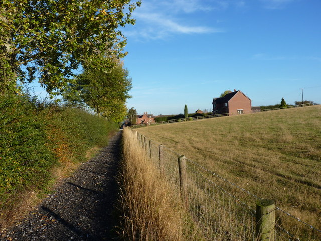
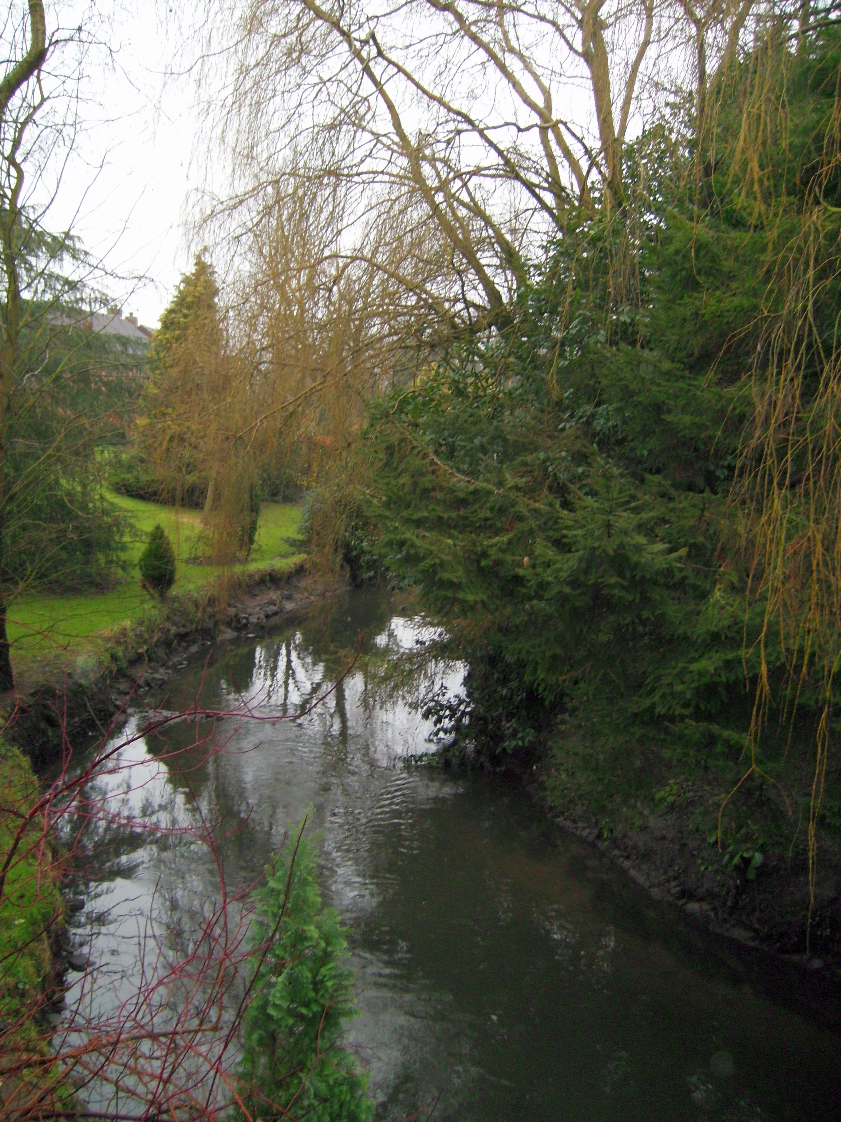
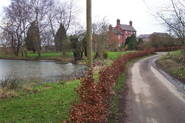
Upper Aston is a small village located in Shropshire, a county in the West Midlands region of England. It is situated approximately 6 miles southeast of the town of Shrewsbury and is part of the civil parish of Berrington. The village is surrounded by picturesque countryside, with rolling hills and meadows, providing a peaceful and idyllic setting.

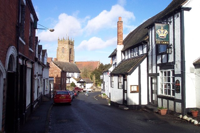
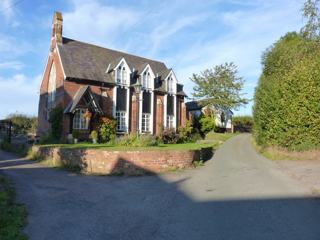
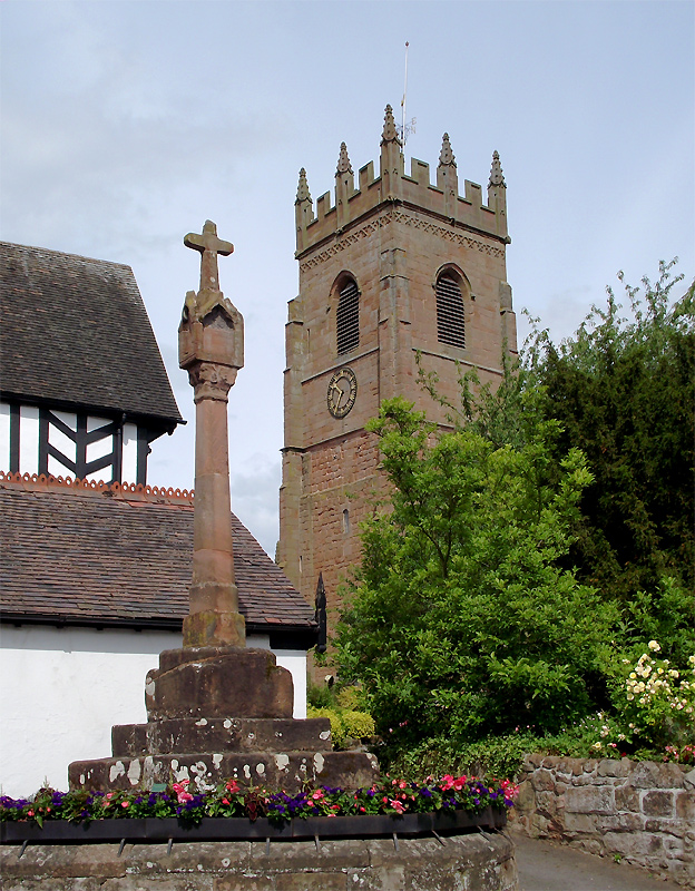
With a population of around 200 residents, Upper Aston is a close-knit community that thrives on its strong sense of community spirit. The village is characterized by a mix of traditional stone-built cottages and more modern houses, providing a diverse architectural landscape. The village also boasts a historic church, St. John the Baptist, which dates back to the 12th century and adds a touch of historical charm to the village.

Although small in size, Upper Aston benefits from its proximity to larger towns and cities. The nearby town of Shrewsbury offers a range of amenities, including shops, restaurants, and leisure facilities. The village is also well-connected by road, with the A5 and A49 providing easy access to other parts of Shropshire and beyond.

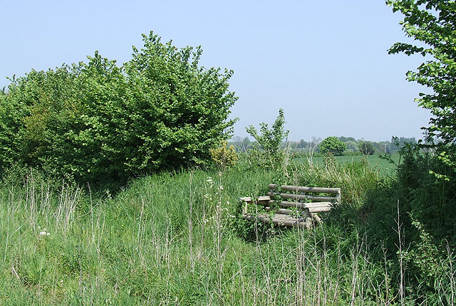
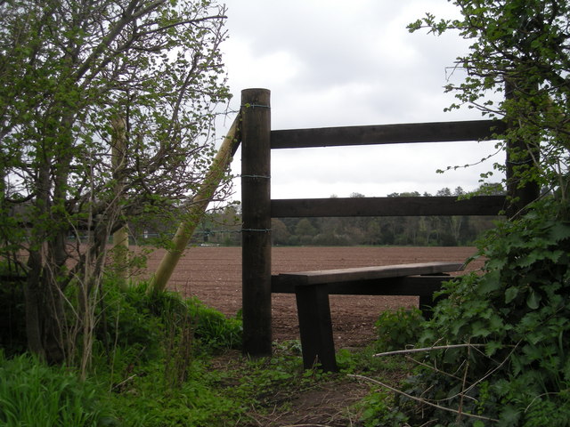
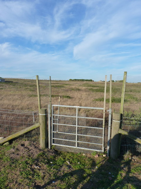
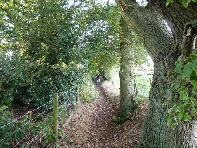
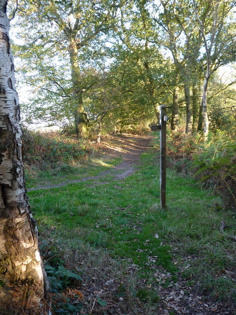
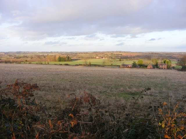
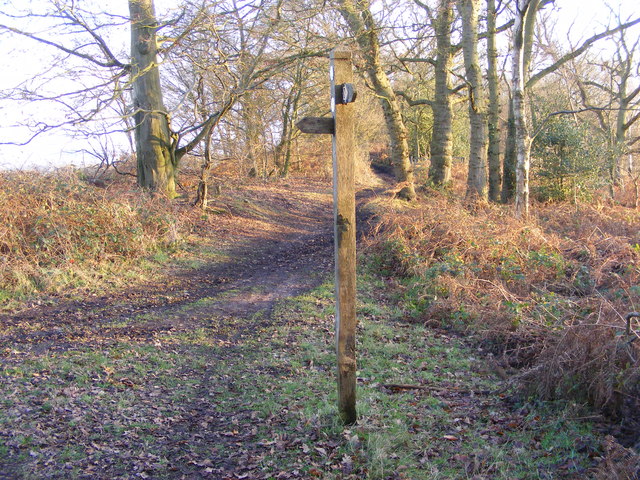
The surrounding countryside offers ample opportunities for outdoor activities, such as hiking, cycling, and horse riding. The area is also known for its beautiful landscapes, making it a popular destination for nature lovers and tourists alike.

In summary, Upper Aston is a quaint and peaceful village in Shropshire, offering a tight-knit community, beautiful countryside, and easy access to nearby amenities and attractions.

If you have any feedback on the listing, please let us know in the comments section below.
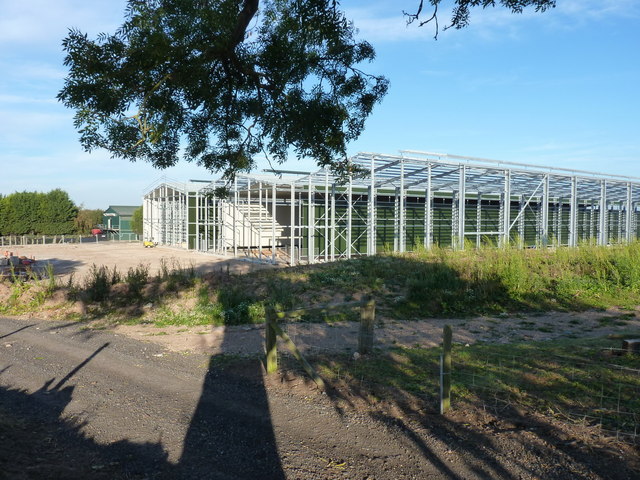
Upper Aston Images

Images are sourced within 2km of 52.544527/-2.276927 or Grid Reference SO8194. Thanks to Geograph Open Source API. All images are credited.

Claverley Pretty village with unspoilt centre.
Claverley
Pretty village with unspoilt centre.
Free Range Poultry, near Claverley, Shropshire The hens have the choice of open sunny areas, or two areas of woodland for shade - or they can stay inside.
Free Range Poultry, near Claverley, Shropshire
The hens have the choice of open sunny areas, or two areas of woodland for shade - or they can stay inside.
Yes, they are Free Range! Claverley, Shropshire I know what it looks like, but these beauties just assume that because I am standing there I am going to feed them.....1000s of them clucked their way towards me, right to my feet. They have PLENTY of space to roam.
Yes, they are Free Range! Claverley, Shropshire
I know what it looks like, but these beauties just assume that because I am standing there I am going to feed them.....1000s of them clucked their way towards me, right to my feet. They have PLENTY of space to roam.
A well sited Seat, near Galatea Farm, Shropshire The public footpath leads south to Claverley (1.5 km) through fields. The panoramic view from the seat westwards to Claverley Brook and Hopstone is very "soothing".
A well sited Seat, near Galatea Farm, Shropshire
The public footpath leads south to Claverley (1.5 km) through fields. The panoramic view from the seat westwards to Claverley Brook and Hopstone is very "soothing".
Footpath through Cropfields, near Ludstone, Shropshire The public footpath approaching Galatea farm (visible) leads along the left side of the hedge in the centre. Cereal crops grow on both sides, and the chicken farm is 500 metres behind the camera.
Footpath through Cropfields, near Ludstone, Shropshire
The public footpath approaching Galatea farm (visible) leads along the left side of the hedge in the centre. Cereal crops grow on both sides, and the chicken farm is 500 metres behind the camera.
Real Free Range! near Claverley, Shropshire Some chickens definitely look down on others. At this farm the poultry appear healthy and happy, as they cluck gently about their business.
Real Free Range! near Claverley, Shropshire
Some chickens definitely look down on others. At this farm the poultry appear healthy and happy, as they cluck gently about their business.
This path cuts a corner
Access to Sutton Farm
Free Range Hens The footpath north of Claverley passes through a Poultry Farm.
Free Range Hens
The footpath north of Claverley passes through a Poultry Farm.
Poultry Gate The footpath north of Claverley passes through a gate into a free range Poultry Farm.
Poultry Gate
The footpath north of Claverley passes through a gate into a free range Poultry Farm.
Gate and bridleway at Foxlands Across fields SW of Foxlands Farm, Seisdon
Gate and bridleway at Foxlands
Across fields SW of Foxlands Farm, Seisdon
Industrial farming? Enormous industrial-scale buildings being constructed on farmland west of Seisdon.
Industrial farming?
Enormous industrial-scale buildings being constructed on farmland west of Seisdon.
Wolmore Farm, Seisdon Buildings at Wolmore Farm, from the bridleway to Hillend.
Wolmore Farm, Seisdon
Buildings at Wolmore Farm, from the bridleway to Hillend.
Chapel conversion at Hillend, Ludstone Originally a small chapel, and shown on late 19th century maps as 'Congl Chapel' (Congregational). There was also a Sunday School on the other side of the road at that time. The building is now converted to residential use.
Chapel conversion at Hillend, Ludstone
Originally a small chapel, and shown on late 19th century maps as 'Congl Chapel' (Congregational). There was also a Sunday School on the other side of the road at that time. The building is now converted to residential use.
Riding on Abbot's Castle Hill Strictly speaking, it's a footpath, but since it appears to follow the line of a Roman Road, we reckoned it's been unfairly downgraded. That makes it fair game for a bit of trail poaching, as it runs along the ridge to the west of open farmland.
Riding on Abbot's Castle Hill
Strictly speaking, it's a footpath, but since it appears to follow the line of a Roman Road, we reckoned it's been unfairly downgraded. That makes it fair game for a bit of trail poaching, as it runs along the ridge to the west of open farmland.
Track junction on Abbot's Castle Hill A junction of bridleway and permissive route on the crest of the hill.
Track junction on Abbot's Castle Hill
A junction of bridleway and permissive route on the crest of the hill.
Abbots Castle Hill View
Way Signpost The new year view on the Staffordshire Way.
Way Signpost
The new year view on the Staffordshire Way.
Show me another place!

Upper Aston is located at Grid Ref: SO8194 (Lat: 52.544527, Lng: -2.276927)

Unitary Authority: Shropshire

Police Authority: West Mercia

What 3 Words

///taller.demanding.chest. Near Pattingham, Staffordshire

Related Wikis

Claverley

Claverley is a village and civil parish in east Shropshire, England. The parish also includes the hamlets of Beobridge, Hopstone, Upper Aston, Ludstone...

All Saints Church, Claverley

All Saints Church is in the village of Claverley, Shropshire, England. It is an active Anglican parish church in the deanery of Bridgnorth, the archdeaconry...

Seisdon

Seisdon is a rural village in the parish of Trysull and Seisdon, Staffordshire approximately six miles west of Wolverhampton and the name of one of the...

Seisdon Rural District

Seisdon was a rural district in Staffordshire, England from 1894 to 1974. It lay to the west of Wolverhampton and was formed under the Local Government...

Trysull and Seisdon

Trysull and Seisdon is a conjoined civil parish in the South Staffordshire non-metropolitan district, in the county of Staffordshire, England. The population...

Wolverhampton Airport

Wolverhampton Halfpenny Green Airport (ICAO: EGBO), formerly Halfpenny Green Airport and Wolverhampton Business Airport, locally Bobbington Airport, is...

Rudge, Shropshire

Rudge is a settlement and civil parish about 6 miles east of Bridgnorth, in the Shropshire district, in the ceremonial county of Shropshire, England. In...

Beobridge

Beobridge is a small, scattered hamlet in Shropshire, England. It is in the civil parish of Claverley. Its name probably comes from Old English beo, "bee...

Nearby Amenities

Located within 500m of 52.544527,-2.276927
Upper Aston
Place: hamlet
Lat/Long: 52.5438003/-2.2764628
Post Box
Post Box Type: lamp
Ref: WV5 145
Royal Cypher: EIIR
Royal Cypher Wikidata: Q33102113
Lat/Long: 52.5445275/-2.2772062
Pub
The Woodman
Addr City: Claverley
Addr Country: GB
Addr Postcode: WV5 7DG
Addr Street: Danford
Fhrs Authority: Shropshire
Fhrs Id: 1602169
Fhrs Local Authority Id: 23/00150/COMM
Lat/Long: 52.5479659/-2.2808728
The data included in this document is from www.openstreetmap.org. The data is made available under ODbL.

Have you been to Upper Aston?

Leave your review of Upper Aston below (or comments, questions and feedback).