Bank Hill
Hill, Mountain in Kincardineshire
Scotland
Bank Hill
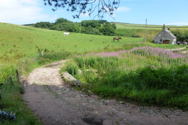
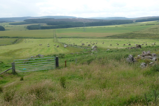
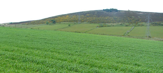
Bank Hill is a prominent hill located in the region of Kincardineshire, Scotland. Rising to an elevation of approximately 223 meters (732 feet), it is considered a significant landmark in the area. Situated in the southern part of the county, Bank Hill offers picturesque views of the surrounding countryside and is a popular destination for outdoor enthusiasts and nature lovers.
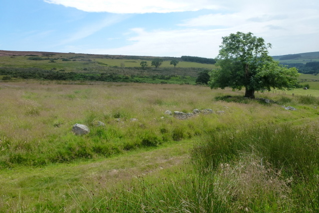
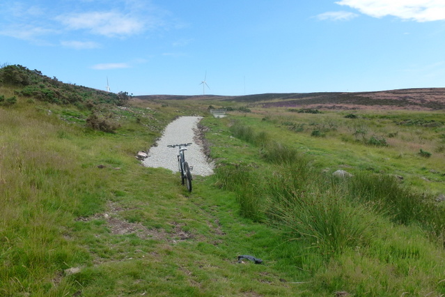
The hill is characterized by its gentle slopes and grassy terrain, making it easily accessible for hikers and walkers of all abilities. A network of well-marked trails and paths crisscrosses the hill, providing ample opportunities for exploration and adventure. The summit of Bank Hill offers panoramic vistas, allowing visitors to admire the scenic beauty of the Kincardineshire region, including the nearby North Sea coastline.
Bank Hill is also known for its rich biodiversity, with a variety of plant and animal species calling the hill their home. The area is particularly renowned for its wildflowers, which bloom in abundance during the spring and summer months, adding splashes of color to the landscape.
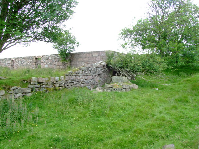
In addition to its natural beauty, Bank Hill holds historical significance. The hill has been inhabited for centuries, and archaeological remains have been discovered, including ancient settlements and burial sites. These findings provide valuable insights into the region's past and contribute to the cultural heritage of Kincardineshire.
Overall, Bank Hill in Kincardineshire offers a blend of natural beauty, recreational opportunities, and historical significance. Whether visitors are seeking a leisurely walk, a challenging hike, or a glimpse into the region's past, Bank Hill provides an enriching experience for all who venture to its slopes.
If you have any feedback on the listing, please let us know in the comments section below.
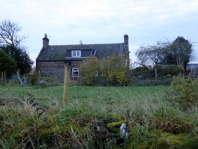
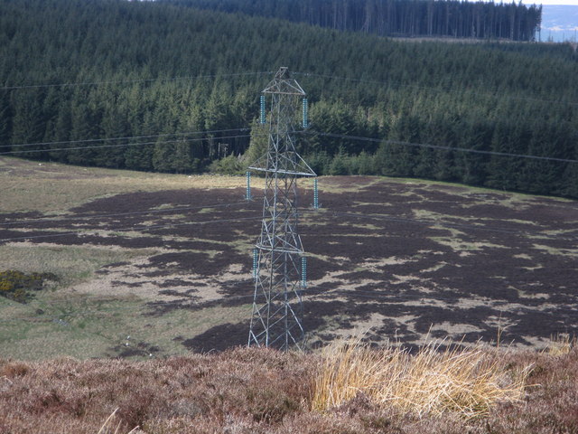
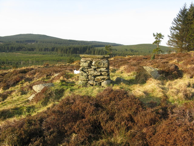
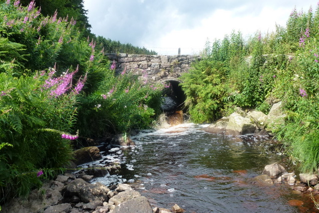
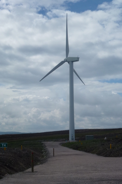
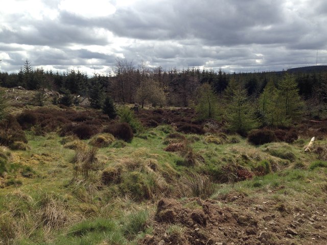
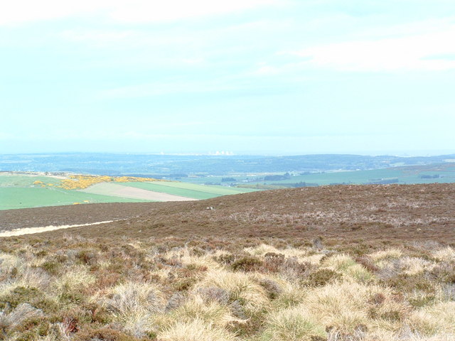
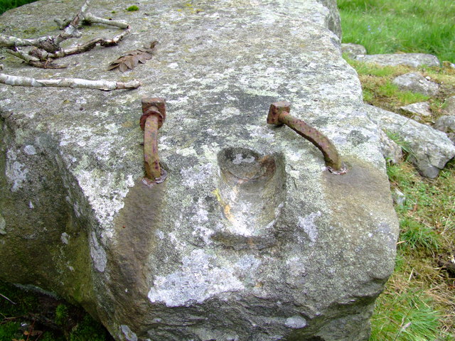
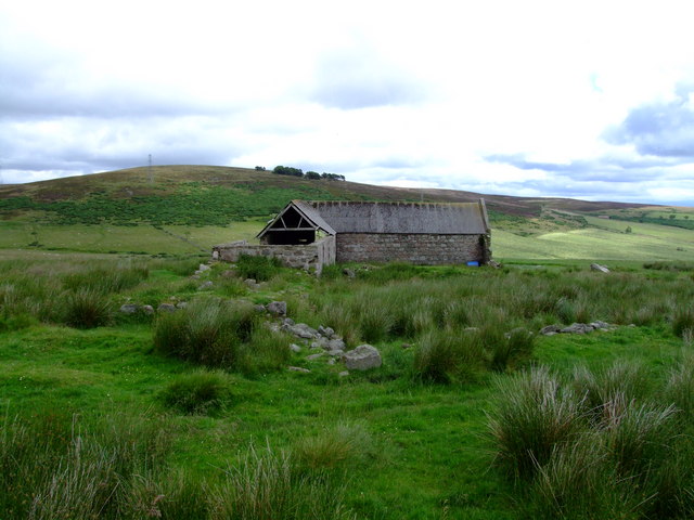
Bank Hill Images
Images are sourced within 2km of 57.01557/-2.3074213 or Grid Reference NO8191. Thanks to Geograph Open Source API. All images are credited.

Bank Hill is located at Grid Ref: NO8191 (Lat: 57.01557, Lng: -2.3074213)
Unitary Authority: Aberdeenshire
Police Authority: North East
What 3 Words
///guru.titles.doped. Near Stonehaven, Aberdeenshire
Nearby Locations
Related Wikis

Meikle Carewe Hill
Meikle Carewe Hill is a landform in Aberdeenshire, Scotland within the Mounth Range of the Grampian Mountains. (Grid Reference NO 921 828) The peak elevation...
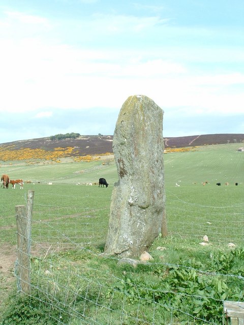
Lang Stane of Auquhollie
The Lang Stane of Auquhollie is an Ogam-inscribed standing stone some 6 kilometres north-west of Stonehaven in Scotland. Situated on south side of Meikle...

Saddle Hill (Aberdeenshire)
Saddle Hill is a low lying mountain in eastern Aberdeenshire, Scotland within the Mounth Range of the Grampian Mountains. Its peak is 241 metres (791...

Kincardine and Mearns
Kincardine and Mearns is one of six area committees of the Aberdeenshire council area in Scotland. It has a population of 38,506 (2001 Census). There...
Have you been to Bank Hill?
Leave your review of Bank Hill below (or comments, questions and feedback).