Hill of Auquhollie
Hill, Mountain in Kincardineshire
Scotland
Hill of Auquhollie
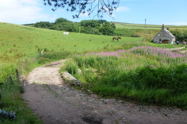
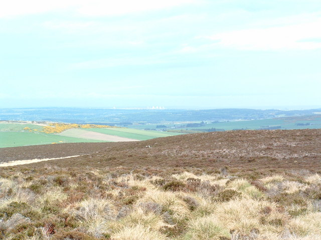
The Hill of Auquhollie is a prominent landmark located in Kincardineshire, Scotland. Rising to an elevation of approximately 1000 feet, it is classified as a hill rather than a mountain due to its modest height. Situated near the town of Stonehaven, it offers stunning panoramic views of the surrounding countryside, making it a popular destination for hikers and nature enthusiasts.
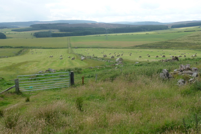
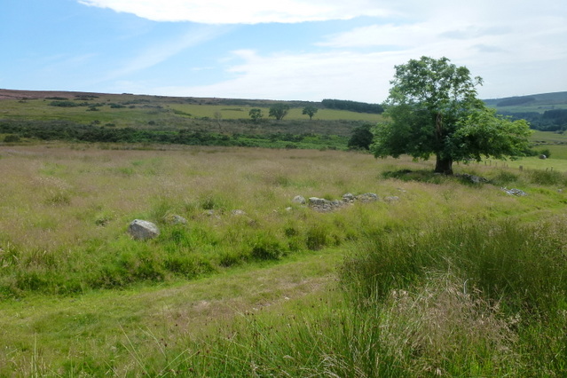
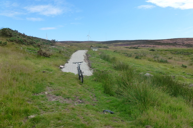
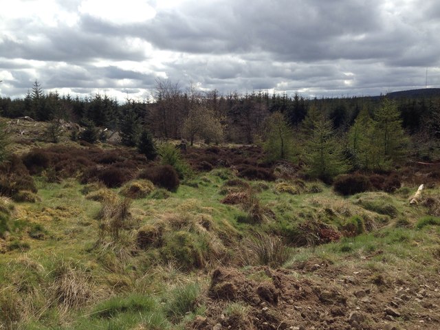
The hill is characterized by its gently sloping terrain, covered with a mix of heather, grasses, and scattered trees. The landscape is dotted with granite outcrops, adding to its rugged and picturesque appeal. As visitors ascend the hill, they are treated to breathtaking vistas of the North Sea, the coastline, and the rolling hills that stretch to the horizon.
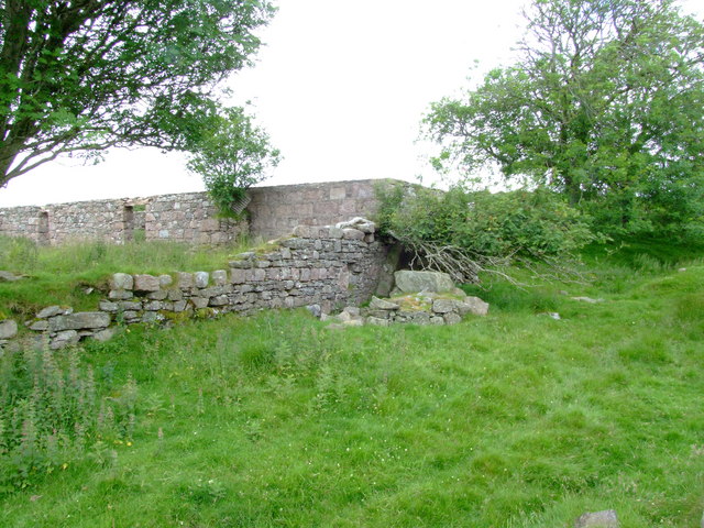
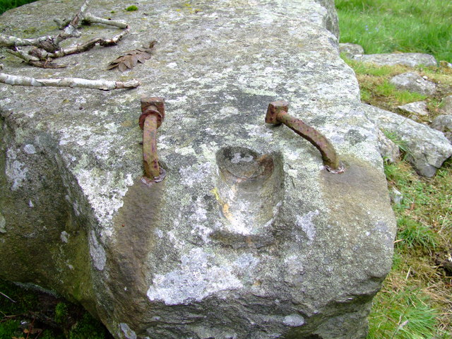
The Hill of Auquhollie is also known for its rich history. Archaeological evidence suggests that the area has been inhabited for thousands of years, with ancient settlements and burial sites discovered in the vicinity. The hill itself has a prominent place in local folklore and legends, with tales of hidden treasures and mythical creatures adding to its allure.
Access to the Hill of Auquhollie is relatively straightforward, with a network of well-marked trails leading to the summit. The hill is a popular spot for outdoor activities such as hiking, birdwatching, and photography. It offers a tranquil escape from the bustle of everyday life, allowing visitors to immerse themselves in the beauty of the Scottish countryside.
If you have any feedback on the listing, please let us know in the comments section below.
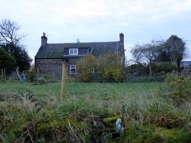
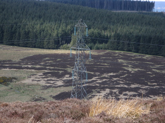
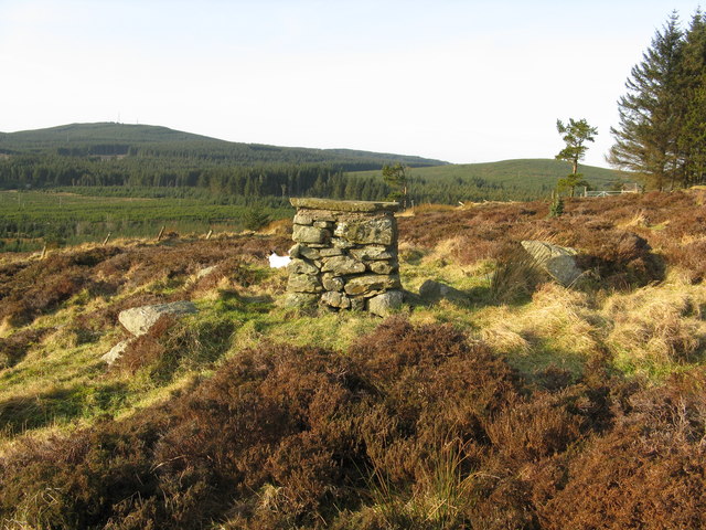
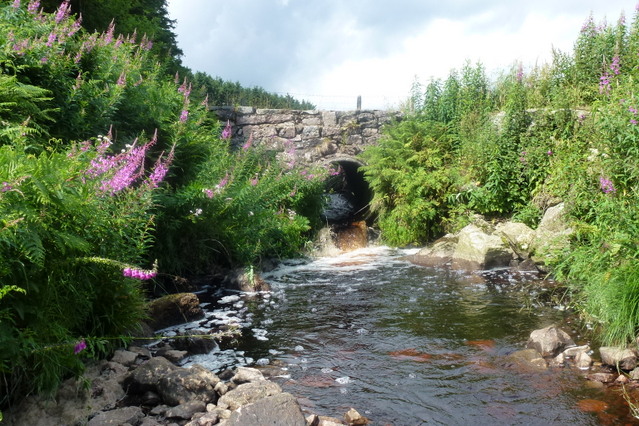
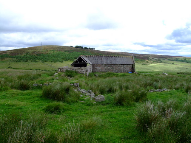
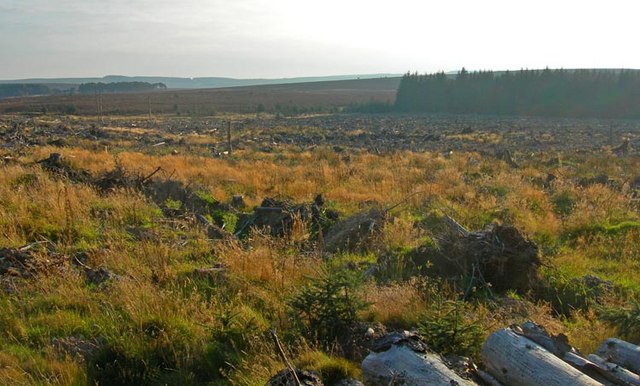
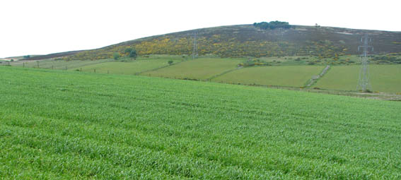
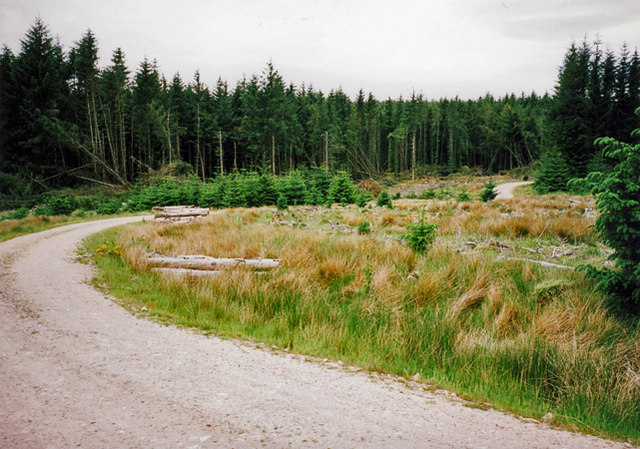
Hill of Auquhollie Images
Images are sourced within 2km of 57.011209/-2.3127038 or Grid Reference NO8191. Thanks to Geograph Open Source API. All images are credited.


Hill of Auquhollie is located at Grid Ref: NO8191 (Lat: 57.011209, Lng: -2.3127038)
Unitary Authority: Aberdeenshire
Police Authority: North East
What 3 Words
///crucially.genetics.enjoy. Near Stonehaven, Aberdeenshire
Nearby Locations
Related Wikis
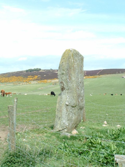
Lang Stane of Auquhollie
The Lang Stane of Auquhollie is an Ogam-inscribed standing stone some 6 kilometres north-west of Stonehaven in Scotland. Situated on south side of Meikle...

Meikle Carewe Hill
Meikle Carewe Hill is a landform in Aberdeenshire, Scotland within the Mounth Range of the Grampian Mountains. (Grid Reference NO 921 828) The peak elevation...

Rickarton
Rickarton is a settlement in Aberdeenshire. It is situated on the A957 to the northwest of Stonehaven. Rickarton was served by the 105 bus between Stonehaven...

Saddle Hill (Aberdeenshire)
Saddle Hill is a low lying mountain in eastern Aberdeenshire, Scotland within the Mounth Range of the Grampian Mountains. Its peak is 241 metres (791...
Nearby Amenities
Located within 500m of 57.011209,-2.3127038Have you been to Hill of Auquhollie?
Leave your review of Hill of Auquhollie below (or comments, questions and feedback).