Shivery Hill
Hill, Mountain in Northumberland
England
Shivery Hill
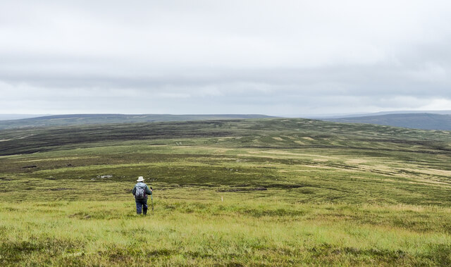
Shivery Hill is a prominent hill located in the county of Northumberland, in the northeast of England. Situated near the small village of Shivery, it stands at an elevation of approximately 300 meters (984 feet) above sea level. This makes it one of the highest points in the region, offering breathtaking panoramic views of the surrounding countryside.
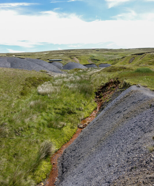
The hill itself is a part of the Pennines, a range of hills and mountains that stretches across several counties in northern England. Shivery Hill is characterized by its rugged and rocky terrain, with steep slopes and craggy outcrops. It is covered in a mixture of heather, grasses, and moss, giving it a distinctively wild and untamed appearance.
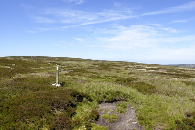
The summit of Shivery Hill is marked by a trig point, a concrete pillar used in surveying. This serves as a popular destination for hikers and outdoor enthusiasts, who can enjoy the challenge of reaching the top and the rewarding views that await them. On a clear day, one can see for miles, with the Northumberland National Park and the Cheviot Hills visible in the distance.
The hill is also known for its rich biodiversity, with a variety of plant and animal species calling it their home. It provides a habitat for birds such as curlews, lapwings, and skylarks, as well as small mammals like rabbits and hares.
Overall, Shivery Hill is a natural landmark of great beauty and significance in Northumberland, attracting visitors from near and far who seek adventure, stunning vistas, and a connection with the untamed wilderness of the region.
If you have any feedback on the listing, please let us know in the comments section below.
Shivery Hill Images
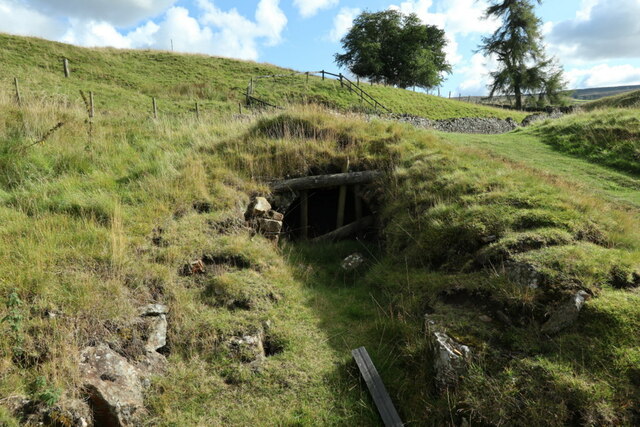
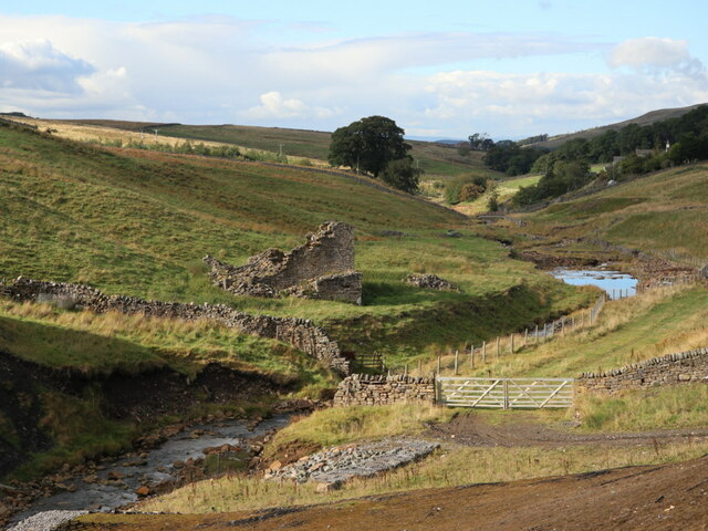
Images are sourced within 2km of 54.807052/-2.2904771 or Grid Reference NY8145. Thanks to Geograph Open Source API. All images are credited.


Shivery Hill is located at Grid Ref: NY8145 (Lat: 54.807052, Lng: -2.2904771)
Unitary Authority: Northumberland
Police Authority: Northumbria
What 3 Words
///mild.smiling.spruced. Near Alston, Cumbria
Nearby Locations
Related Wikis

Coalcleugh
Coalcleugh is a hamlet in Northumberland, England. It is situated in the Pennines between Penrith and Hexham. In the past it was well known as a lead mining...

Carr Shield
Carrshield is a village in Northumberland, in England. It is situated in the Pennines approximately between Penrith and Hexham. It is a small village with...
Old Moss Lead Vein
Old Moss Lead Vein, also known as Killhope Head, is a Site of Special Scientific Interest in the Wear Valley district of County Durham, England. It consists...

Allendale Moors
Allendale Moors is a Site of Special Scientific Interest (SSSI) in Northumberland, England. The upland moorland ridge site is listed for its heath, flush...
Nearby Amenities
Located within 500m of 54.807052,-2.2904771Have you been to Shivery Hill?
Leave your review of Shivery Hill below (or comments, questions and feedback).