Greenside Hill

Hill, Mountain in Berwickshire

Scotland

Greenside Hill

Old Cambus Burn
Old Cambus Burn Credit: Mick Garratt

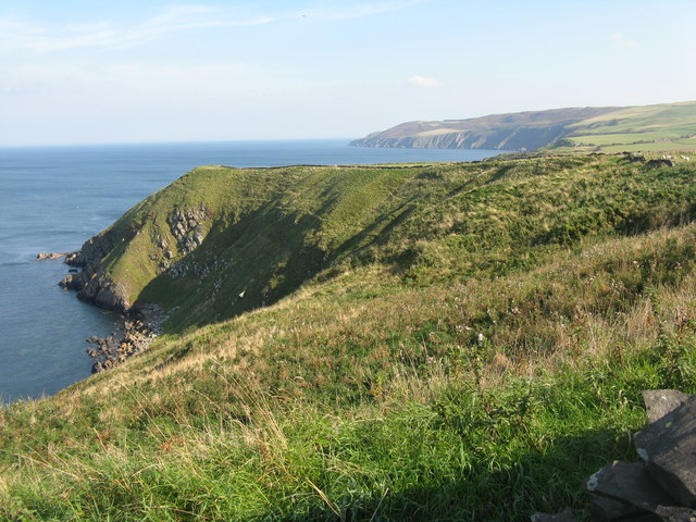
Greenside Hill is a prominent natural landmark located in Berwickshire, a historic county in the Scottish Borders region of Scotland. Rising to an elevation of approximately 200 meters (656 feet), the hill is situated near the village of Greenlaw, offering stunning panoramic views of the surrounding countryside.

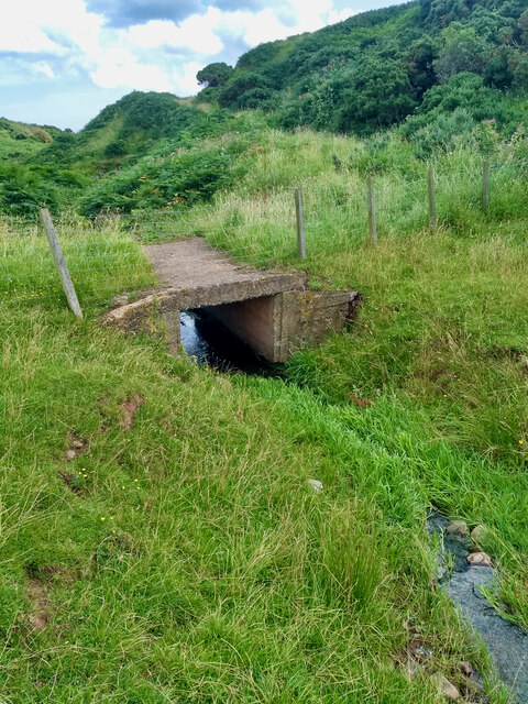
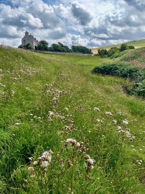
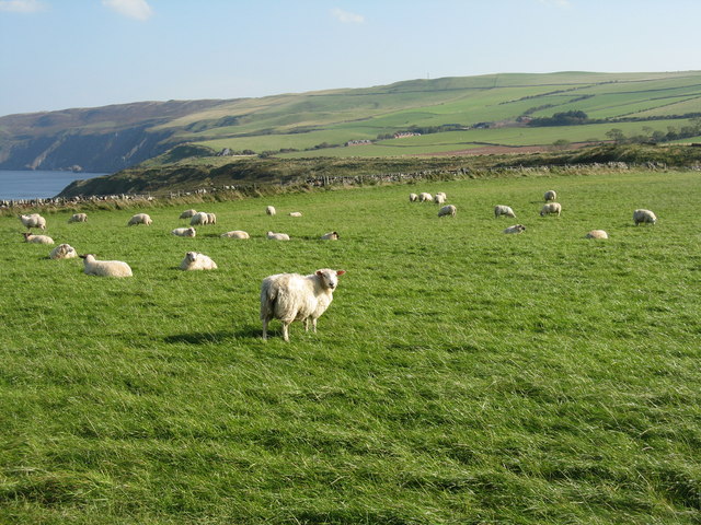
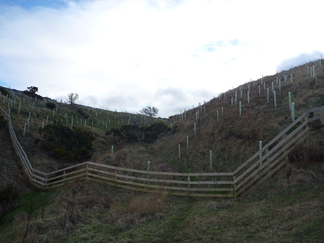
Covered in lush green vegetation, Greenside Hill is a popular destination for nature enthusiasts and hikers seeking to explore the picturesque landscape of Berwickshire. The hill features a well-defined footpath that allows visitors to easily navigate its slopes and reach its summit. As one ascends the hill, they can enjoy the sight of blooming wildflowers, including heather and bluebells, which add vibrant splashes of color to the scenery.

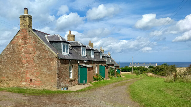
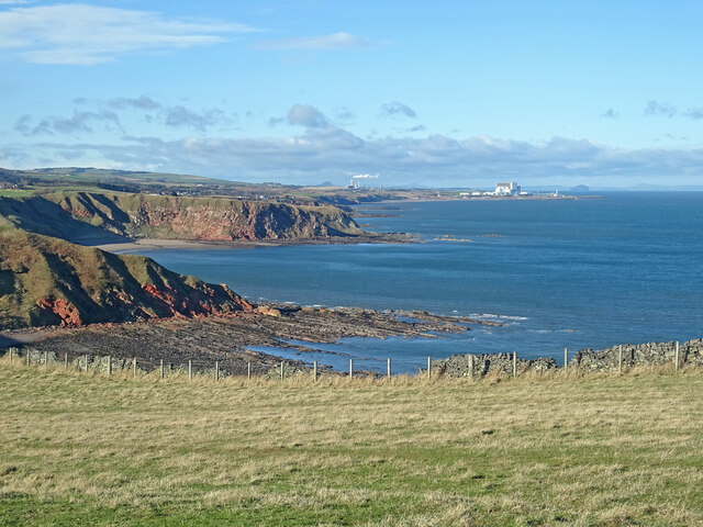
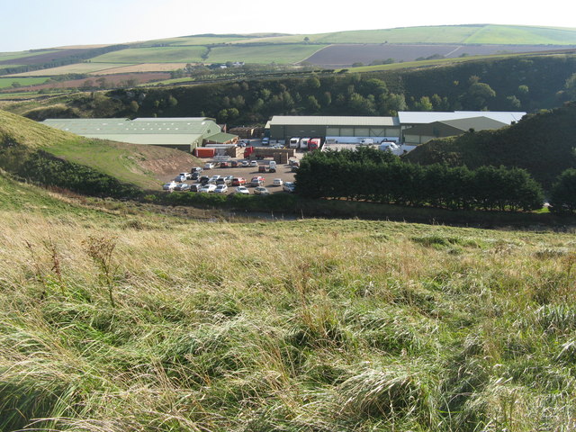
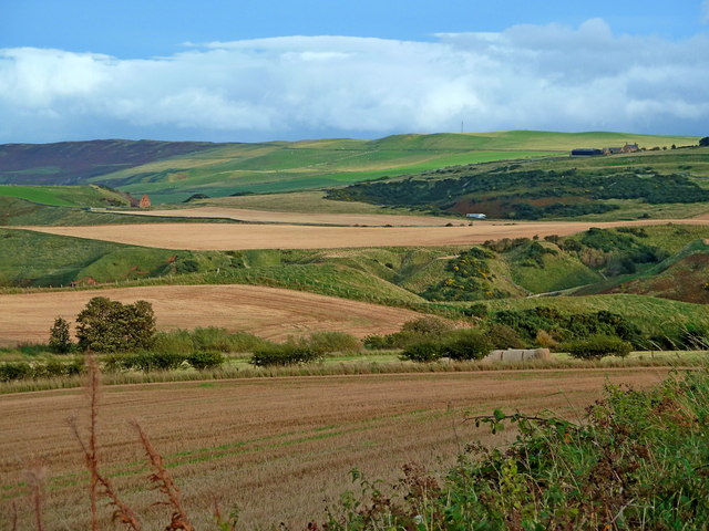
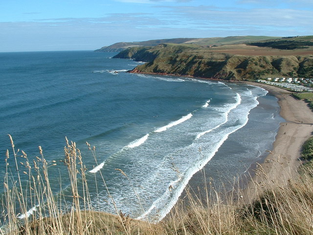
From the summit of Greenside Hill, visitors are rewarded with breathtaking vistas of the rolling hills, patchwork farmlands, and picturesque valleys that characterize the Berwickshire region. On clear days, it is even possible to catch glimpses of the North Sea shimmering in the distance.

The hill also holds historical significance, as it was once home to an Iron Age hillfort. Traces of this ancient settlement can still be seen, providing a glimpse into the area's rich past. Additionally, the surrounding area is dotted with prehistoric sites, such as standing stones and burial cairns, further enhancing Greenside Hill's historical appeal.

Overall, Greenside Hill offers both natural beauty and historical intrigue, making it a must-visit destination for those wishing to immerse themselves in the captivating landscapes and ancient heritage of Berwickshire.

If you have any feedback on the listing, please let us know in the comments section below.

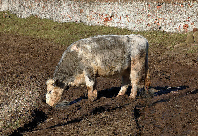
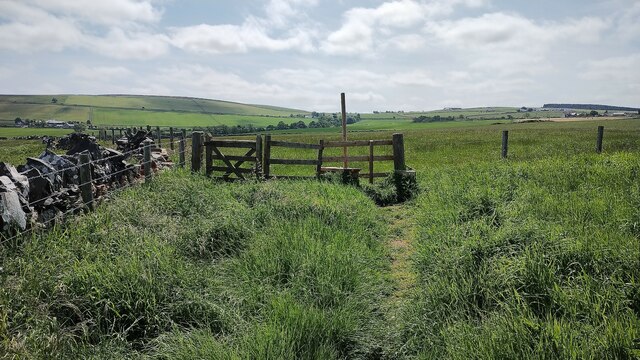
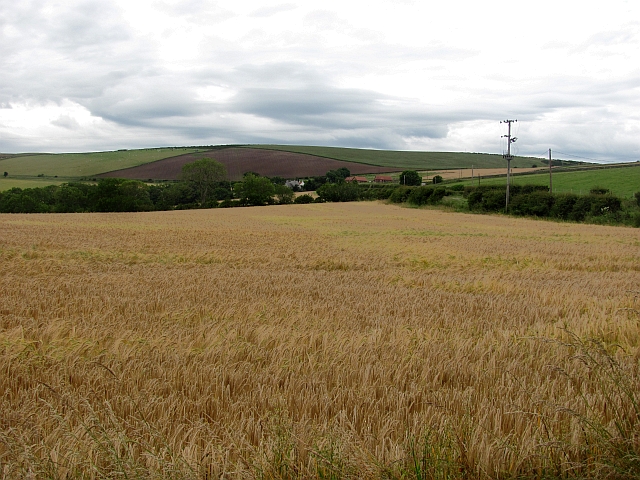
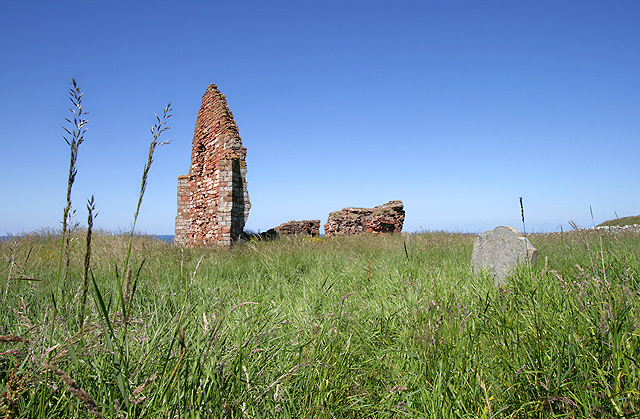
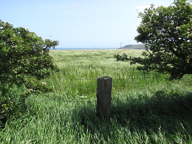
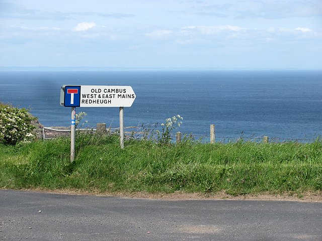
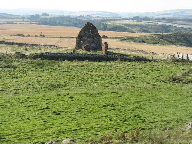
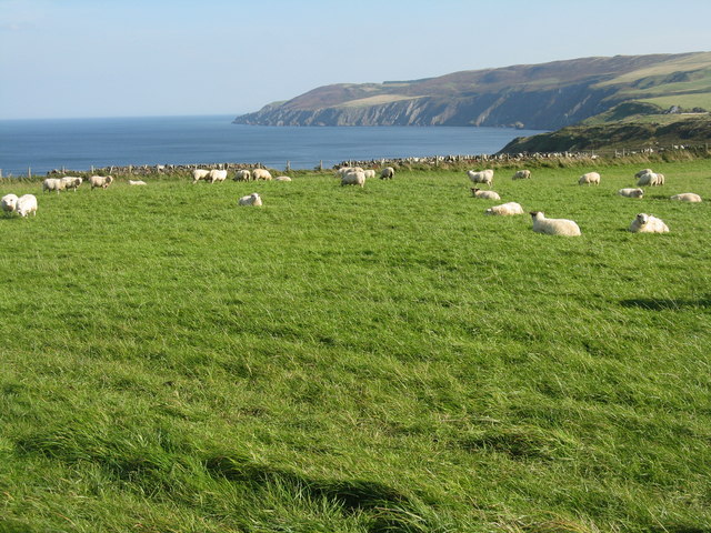
Greenside Hill Images

Images are sourced within 2km of 55.912409/-2.3075392 or Grid Reference NT8068. Thanks to Geograph Open Source API. All images are credited.

Old Cambus Burn
Old Cambus Burn
Redheugh Cottages
Redheugh Cottages
Little Cleugh Burn
Little Cleugh Burn
Clifftop View near Old Cambus A windy but bright day on the coast south of Pease Bay. The strength of the wind can be gauged by the smoke coming from Dunbar cement works. Also seen is Berwick Law, Torness Power Station and the Bass Rock.
Clifftop View near Old Cambus
A windy but bright day on the coast south of Pease Bay. The strength of the wind can be gauged by the smoke coming from Dunbar cement works. Also seen is Berwick Law, Torness Power Station and the Bass Rock.
Having a drink This cow was drinking from a puddle on a muddy farm track at Red Heugh.
Having a drink
This cow was drinking from a puddle on a muddy farm track at Red Heugh.
Gate and Stile at Siccar Point Looking from Siccar Point back at the gate and stile that need to be crossed to reach the point.
Gate and Stile at Siccar Point
Looking from Siccar Point back at the gate and stile that need to be crossed to reach the point.
Barley, Old Cambus Ripening barley below Penmanshiel Moor.
Barley, Old Cambus
Ripening barley below Penmanshiel Moor.
St Helen's Church, Old Cambus This red sandstone ruin is the former parish church of Old Cambus. Some 18th century gravestones are on the south side of the church remains. The building was also known as St Helena’s Chapel.
St Helen's Church, Old Cambus
This red sandstone ruin is the former parish church of Old Cambus. Some 18th century gravestones are on the south side of the church remains. The building was also known as St Helena’s Chapel.
Barley, Old Cambus
Barley, Old Cambus
Road sign, Hog's Law A distant view of the East Neuk of Fife.
Road sign, Hog's Law
A distant view of the East Neuk of Fife.
St Helen's Church, Old Cambus The remains of the old church can be seen en route to Siccar Point. The Scottish Wildlife Trust Pease Dean Reserve is in the deep wooded valley over the gable.
St Helen's Church, Old Cambus
The remains of the old church can be seen en route to Siccar Point. The Scottish Wildlife Trust Pease Dean Reserve is in the deep wooded valley over the gable.
Pasture above Siccar Point Looking east towards Fast Castle Head.
Pasture above Siccar Point
Looking east towards Fast Castle Head.
James Hutton and Siccar Point Information board at the start of the walk to Siccar Point, the site of James Hutton's discovery of the geological unconformity that allowed him to confirm his idea that the earth was much, much older than the biblical age of 6000 years.
James Hutton and Siccar Point
Information board at the start of the walk to Siccar Point, the site of James Hutton's discovery of the geological unconformity that allowed him to confirm his idea that the earth was much, much older than the biblical age of 6000 years.
Siccar Point and Fast Castle Head As seen looking east from the path to Siccar Point.
Siccar Point and Fast Castle Head
As seen looking east from the path to Siccar Point.
Drysdales at Old Cambus One of Scotland's largest processors of vegetables, especially swedes, leeks and brussels sprouts, with a throughput of around 14000 tonnes a year.
Drysdales at Old Cambus
One of Scotland's largest processors of vegetables, especially swedes, leeks and brussels sprouts, with a throughput of around 14000 tonnes a year.
Above Marley Brae Sheep at pasture overlooking the coast close to Siccar Point.
Above Marley Brae
Sheep at pasture overlooking the coast close to Siccar Point.
View over Meikle Black Law, East Lothian.
Coastal Berwickshire : Tree Planting In Gully To East of Greenheugh Point
Show me another place!

Greenside Hill is located at Grid Ref: NT8068 (Lat: 55.912409, Lng: -2.3075392)

Unitary Authority: The Scottish Borders

Police Authority: The Lothians and Scottish Borders

What 3 Words

///promising.multiply.unfair. Near Chirnside, Scottish Borders

Related Wikis

Old Cambus

Old Cambus is a village in the Scottish Borders, Scotland. St. Helens church, which is now a ruin served the area. == References ==

Battle of Piperdean

The Battle of Piperdean was an engagement in the Scottish Borders, fought on 10 September 1435 between the Kingdom of Scotland and the Kingdom of England...

Penmanshiel Tunnel

Penmanshiel Tunnel is a now-disused railway tunnel near Grantshouse, Berwickshire, in the Scottish Borders region of Scotland. It was formerly part of...
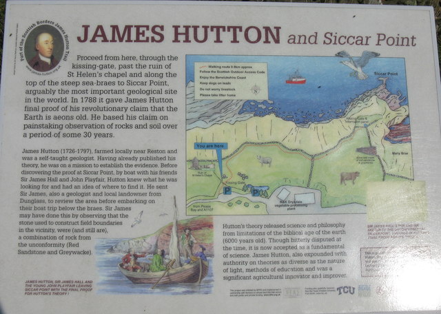
Siccar Point

Siccar Point is a rocky promontory in the county of Berwickshire on the east coast of Scotland. It is famous in the history of geology for Hutton's Unconformity...

Pease Dean

Pease Dean is a nature reserve at Pease Bay, in the Scottish Borders area of Scotland, near the Anglo-Scottish border and Cockburnspath, Cove, and Dunglass...

Pease Bay

Pease Bay is a bay, situated miles southeast of Dunbar, in the Scottish Borders area of Scotland, close to the border with East Lothian as well as Cockburnspath...

Grantshouse

Grantshouse is a small village in Berwickshire in the Scottish Borders of Scotland. It lies on the A1, and its nearest railway stations are Dunbar to the...

Grantshouse railway station

Grantshouse railway station served the village of Grantshouse, Berwickshire, Scotland from 1846 to 1964 on the East Coast Main Line. == History == The...

Nearby Amenities

Located within 500m of 55.912409,-2.3075392
Greenside Hill
Ele: 235
Ele Ft: 771
Is In Country Code: GB
Is In County: Scottish Borders
Is In Historic County: Berwickshire
Man Made: survey_point
Natural: peak
Source: NPE
Lat/Long: 55.9128709/-2.3069692
The data included in this document is from www.openstreetmap.org. The data is made available under ODbL.

Have you been to Greenside Hill?

Leave your review of Greenside Hill below (or comments, questions and feedback).