Rough Hill
Hill, Mountain in Yorkshire Craven
England
Rough Hill

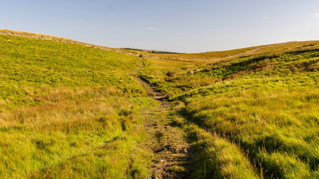
Rough Hill is a prominent hill located in the county of Yorkshire, England. Situated in the northern part of the county, Rough Hill is part of the Pennines, a range of hills and mountains that stretch across Northern England. It is situated near the small village of Holmfirth, and offers breathtaking views of the surrounding countryside.
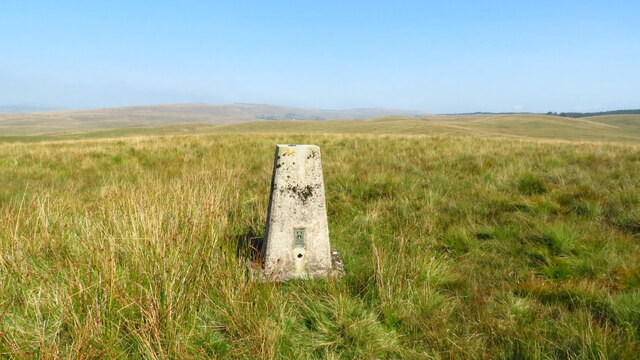
Rough Hill stands at an elevation of approximately 1,200 feet (365 meters) above sea level, making it one of the highest points in the region. The hill is characterized by its rugged and rocky terrain, with steep slopes and exposed outcrops. It is predominantly covered in heather and grasses, which give it a distinctive purple hue during the summer months.
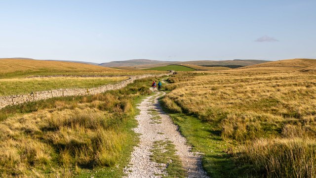
The hill attracts outdoor enthusiasts and nature lovers due to its fantastic hiking and walking opportunities. Several well-marked trails traverse the hill, allowing visitors to explore its diverse flora and fauna. The summit provides panoramic views of the picturesque Yorkshire landscape, including rolling hills, meandering rivers, and charming villages.
Rough Hill is also home to a variety of wildlife, including birds of prey such as kestrels and buzzards, as well as small mammals like rabbits and foxes. The hill's remote location and peaceful surroundings make it an ideal habitat for these creatures.
Overall, Rough Hill offers a captivating experience for those seeking a tranquil escape and a chance to immerse themselves in the natural beauty of Yorkshire.
If you have any feedback on the listing, please let us know in the comments section below.
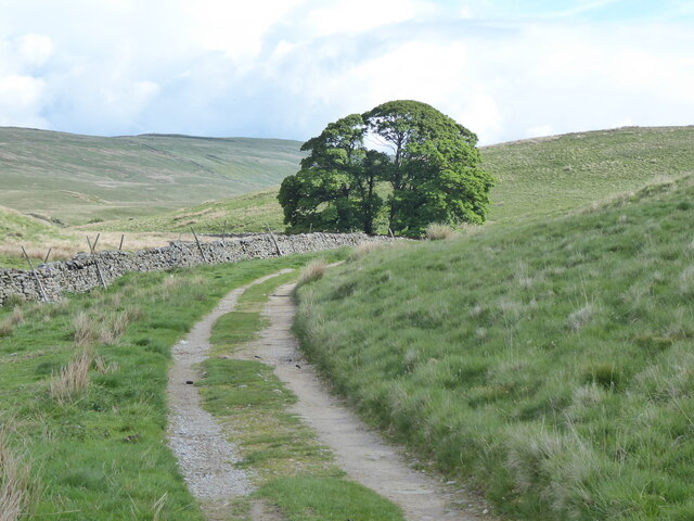
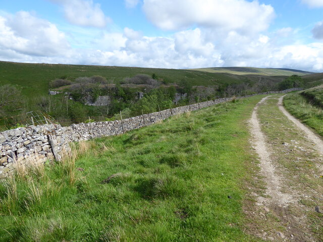
Rough Hill Images
Images are sourced within 2km of 54.185955/-2.2945456 or Grid Reference SD8076. Thanks to Geograph Open Source API. All images are credited.


Rough Hill is located at Grid Ref: SD8076 (Lat: 54.185955, Lng: -2.2945456)
Division: West Riding
Administrative County: North Yorkshire
District: Craven
Police Authority: North Yorkshire
What 3 Words
///lasted.sourcing.imprinted. Near Ingleton, North Yorkshire
Nearby Locations
Related Wikis

High Birkwith
High Birkwith is a hamlet in the Craven district of North Yorkshire, England. It is located north of the village of Horton in Ribblesdale and in the same...

Ling Gill
Ling Gill is a gill (or narrow valley) in the Yorkshire Dales in North Yorkshire, England. Cam Beck, a tributary of the River Ribble, flows through the...

Selside, North Yorkshire
Selside is a small village in Ribblesdale in North Yorkshire, England. It lies 2 miles (3 km) north west of Horton in Ribblesdale. Selside was mentioned...

Alum Pot
Alum Pot is a pothole with a large open shaft at a surface elevation of 343 metres (1,125 ft) on the eastern flanks of Simon Fell, North Yorkshire, England...
Nearby Amenities
Located within 500m of 54.185955,-2.2945456Have you been to Rough Hill?
Leave your review of Rough Hill below (or comments, questions and feedback).